Lane Plantation

Wood, Forest in Hertfordshire East Hertfordshire

England

Lane Plantation

Gazebo reflections at Ware
Gazebo reflections at Ware Credit: Peter S

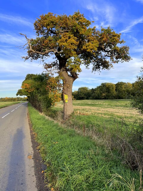
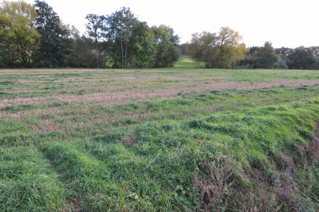
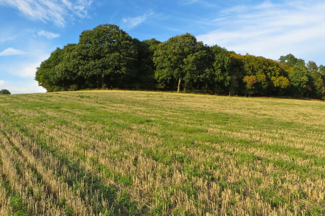
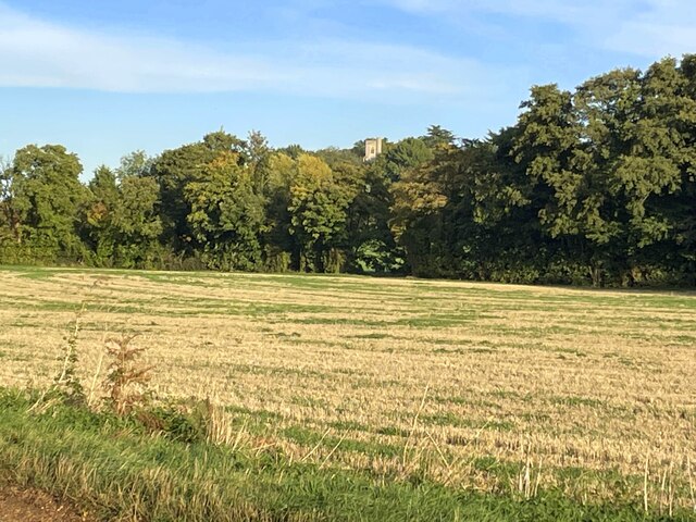
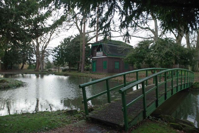
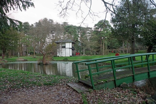
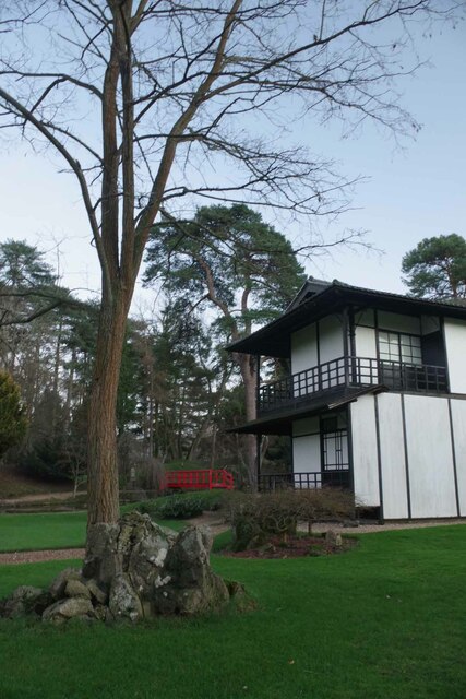
Lane Plantation is a picturesque woodland located in Hertfordshire, England. Situated within the county's lush green countryside, the plantation covers a vast area and is known for its serene and tranquil atmosphere. The plantation is part of an ancient forest, renowned for its rich biodiversity and natural beauty.

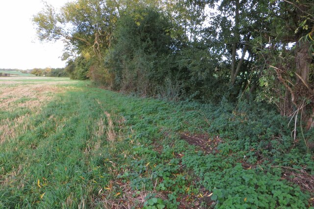
The woodland is predominantly composed of various species of trees, including oak, beech, ash, and birch. These towering trees form a dense canopy, providing shade and shelter for a diverse range of flora and fauna. The forest floor is carpeted with a vibrant array of wildflowers, ferns, and mosses, creating a stunning visual display throughout the year.

Lane Plantation is a haven for wildlife enthusiasts and nature lovers. The woodland is home to a multitude of animal species, including deer, foxes, badgers, and a wide variety of bird species. Visitors can often spot woodpeckers, owls, and various songbirds while exploring the peaceful trails and pathways that wind through the plantation.

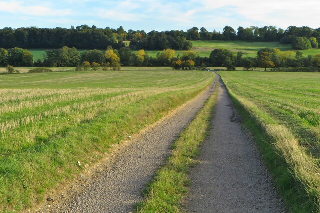
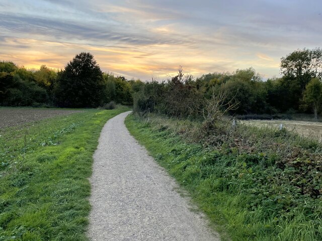
The plantation offers a range of recreational activities for visitors to enjoy. Walking, hiking, and cycling are popular ways to explore the forest's extensive network of trails. There are also designated picnic areas and benches strategically placed throughout the woodland, providing opportunities for visitors to relax and soak in the natural beauty of the surroundings.

Lane Plantation is not only a sanctuary for wildlife but also a place of historical significance. The plantation has deep roots in the local community, with records dating back centuries. Its ancient trees and mystical ambiance make it a cherished destination for those seeking solace and connection with nature in the heart of Hertfordshire.

If you have any feedback on the listing, please let us know in the comments section below.

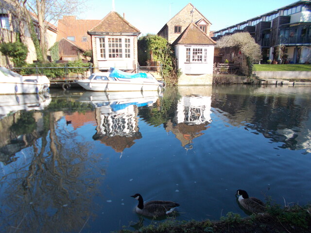
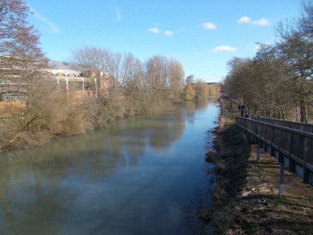
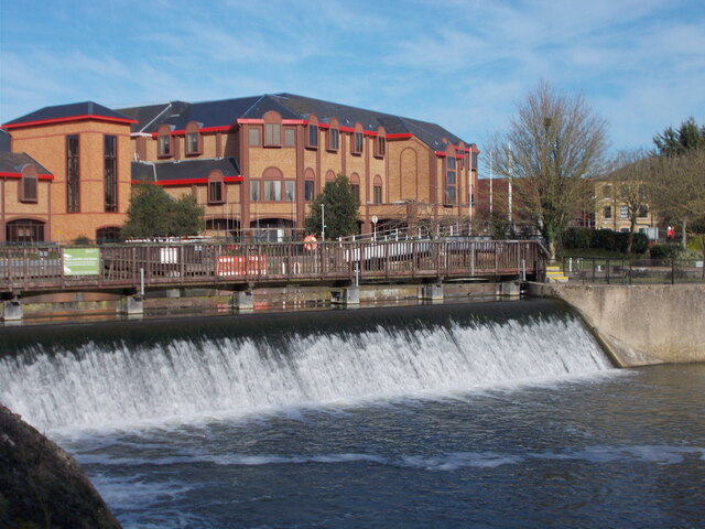
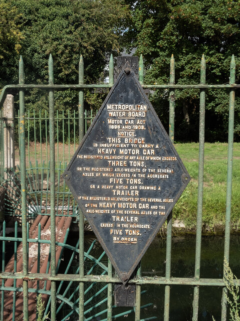
Lane Plantation Images

Images are sourced within 2km of 51.82515/-0.041584808 or Grid Reference TL3515. Thanks to Geograph Open Source API. All images are credited.

Gazebo reflections at Ware
River Lea from a footbridge
River Lea weir
River Lea weir
Ware : New River bridge weight warning sign
Evening on Anchor Lane
A noticed oak on Anchor Lane
Trees along the River Rib
Byway down to Anchor Lane
Tree lined river at the foot of a field
Wade's Wood and stubble field
Trees along the river Rib and Thundridge church tower
The Feathers Inn in Wadesmill
Hertfordshire Way going west along Old Church Lane
Bridge & Austrian Tea Room Part of the gardens of <a href="https://www.geograph.org.uk/photo/7380046">TL3715 : Fanhams Hall</a>
Bridge & Austrian Tea Room
Part of the gardens of TL3715 : Fanhams Hall
Bridge and Japanese Tea Room Part of the Japanese Gardens in <a href="https://www.geograph.org.uk/photo/7380046">TL3715 : Fanhams Hall</a>.
Bridge and Japanese Tea Room
Part of the Japanese Gardens in TL3715 : Fanhams Hall.
Japanese Tea House Part of the Japanese garden at <a href="https://www.geograph.org.uk/photo/7380046">TL3715 : Fanhams Hall</a>
Japanese Tea House
Part of the Japanese garden at TL3715 : Fanhams Hall
Harris's Lane, Ware
Harris's Lane, Ware
Fanshawe Crescent, Ware
Show me another place!

Lane Plantation is located at Grid Ref: TL3515 (Lat: 51.82515, Lng: -0.041584808)

Administrative County: Hertfordshire

District: East Hertfordshire

Police Authority: Hertfordshire

What 3 Words

///task.uses.safety. Near Ware, Hertfordshire

Nearby Locations

South Belt Lane Plantation

Related Wikis

English Championship (golf)

The English Championship was a professional golf tournament held 6–9 August 2020 at Hanbury Manor Golf Club in Thundridge, near Ware, Hertfordshire, England...

Hanbury Manor

Hanbury Manor, centred on the multi-wing Hanbury Manor Hotel, is a converted late-Victorian country house and adjoining golf course in Thundridge, north...

Ware F.C.

Ware F.C. is a football club established in 1892 and based at Wodson Park in Ware, Hertfordshire, England, currently members of the Southern League Division...

Downfield Pit

Downfield Pit is a 3.6-hectare (8.9-acre) geological Site of Special Scientific Interest near Ware in Hertfordshire. It is in the Geological Conservation...

Nearby Amenities

Located within 500m of 51.82515,-0.041584808
Motorway Junction
Moles Interchange
Lat/Long: 51.8266163/-0.0355607
Motorway Junction
Westmill Interchange
Exit To: A602 Stevenage; B1001 Ware
Lat/Long: 51.8220907/-0.0434773
Noexit: yes
Lat/Long: 51.8216741/-0.0414729
Bus Stop
Amberley Green
Bus: yes
Naptan AtcoCode: 210021302445
Naptan Bearing: W
Naptan CommonName: Amberley Green
Naptan Crossing: Amberley Green
Naptan Indicator: adj
Naptan Landmark: Amberley Green
Naptan NaptanCode: hrtdtwgp
Naptan PlusbusZoneRef: WARE
Naptan ShortCommonName: NA
Naptan Street: Quincey Road
Naptan Verified: no
Public Transport: platform
Source: naptan_import
Lat/Long: 51.8226846/-0.0368223
Bus Stop
Poles Lane
Bench: no
Bin: no
Bus: yes
Lit: yes
Naptan AtcoCode: 210021302447
Naptan Bearing: SW
Naptan CommonName: Poles Lane
Naptan Crossing: Briardale
Naptan Indicator: adj
Naptan Landmark: Briardale
Naptan NaptanCode: hrtdtwgt
Naptan PlusbusZoneRef: WARE
Naptan ShortCommonName: NA
Naptan Street: Quincey Road
Naptan Verified: no
Public Transport: platform
Shelter: no
Source: naptan_import
Tactile Paving: no
Lat/Long: 51.8206924/-0.0408413
Bus Stop
Amberley Green
Bus: yes
Naptan AtcoCode: 210021302460
Naptan Bearing: E
Naptan CommonName: Amberley Green
Naptan Crossing: Amberley Green
Naptan Indicator: opp
Naptan Landmark: Amberley Green
Naptan NaptanCode: hrtdtpwj
Naptan PlusbusZoneRef: WARE
Naptan ShortCommonName: NA
Naptan Street: Quincey Road
Naptan Verified: no
Public Transport: platform
Source: naptan_import
Lat/Long: 51.8227608/-0.0370802
Bus Stop
Wodson Park
Bus: yes
Naptan AtcoCode: 210021302465
Naptan Bearing: N
Naptan CommonName: Wodson Park
Naptan Crossing: Wodson Park Sports Centre
Naptan Indicator: opp
Naptan Landmark: Wodson Park Sports Centre
Naptan NaptanCode: hrtdtpwm
Naptan PlusbusZoneRef: WARE
Naptan ShortCommonName: NA
Naptan Street: Wadesmill Road
Naptan Verified: no
Public Transport: platform
Source: naptan_import
Lat/Long: 51.8243123/-0.0352133
Bus Stop
Wodson Park
Bus: yes
Naptan AtcoCode: 210021310480
Naptan Bearing: S
Naptan CommonName: Wodson Park
Naptan Crossing: Wodson Park Sports Centre
Naptan Indicator: o/s
Naptan Landmark: Wodson Park Sports Centre
Naptan NaptanCode: hrtdpdta
Naptan PlusbusZoneRef: WARE
Naptan ShortCommonName: NA
Naptan Street: Wadesmill Road
Naptan Verified: no
Public Transport: platform
Source: naptan_import
Lat/Long: 51.8244605/-0.0349311
The data included in this document is from www.openstreetmap.org. The data is made available under ODbL.

Have you been to Lane Plantation?

Leave your review of Lane Plantation below (or comments, questions and feedback).