Shelly's Mead Plantation
Wood, Forest in Hertfordshire East Hertfordshire
England
Shelly's Mead Plantation
Shelly's Mead Plantation is a picturesque woodland located in Hertfordshire, England. Nestled in the heart of the county, this enchanting forest covers an area of approximately 200 acres, making it a substantial piece of land with a rich and diverse natural habitat.
The plantation consists mainly of deciduous trees, including oak, beech, and birch, which create a beautiful canopy overhead, providing shade and shelter for a variety of wildlife. The forest floor is adorned with a carpet of ferns, bluebells, and wildflowers, adding to the charm and tranquility of the surroundings.
This woodland is not only a haven for nature enthusiasts but also a popular destination for hikers and walkers. Several well-marked trails wind their way through the plantation, offering visitors the chance to explore the beauty of the forest at their own pace. Whether it's a leisurely stroll or a more challenging hike, Shelly's Mead Plantation provides an idyllic setting for outdoor activities and a chance to reconnect with nature.
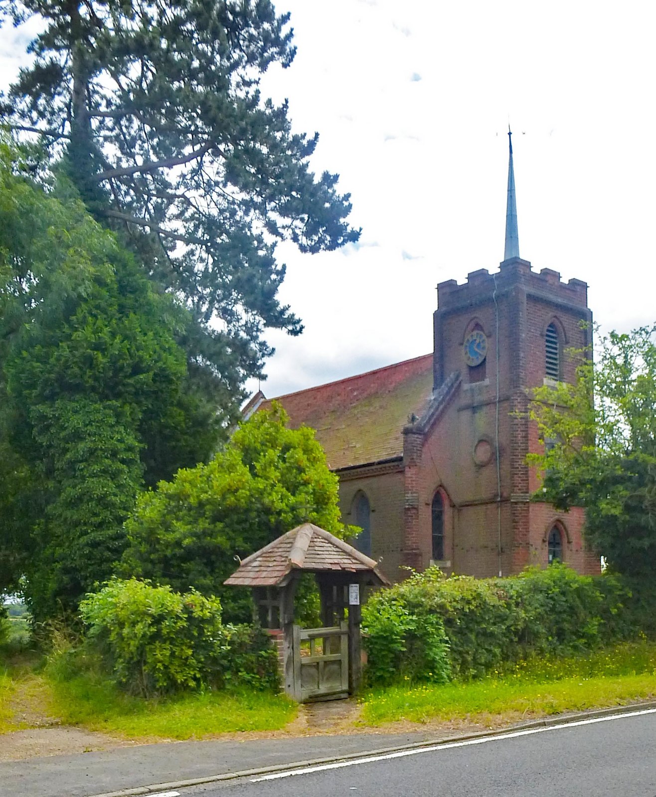
In addition to its natural beauty, the plantation has historical significance. It was once part of the Shelly's Mead Estate, a grand country estate dating back to the 18th century. While the manor house no longer stands, remnants of its past can still be found throughout the woodland, such as old stone walls and crumbling foundations.
Overall, Shelly's Mead Plantation offers a delightful escape from the hustle and bustle of urban life, providing visitors with a serene setting to enjoy the wonders of nature and a glimpse into the area's rich historical heritage.
If you have any feedback on the listing, please let us know in the comments section below.
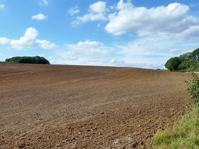
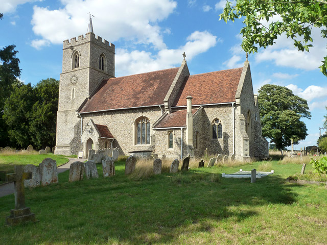
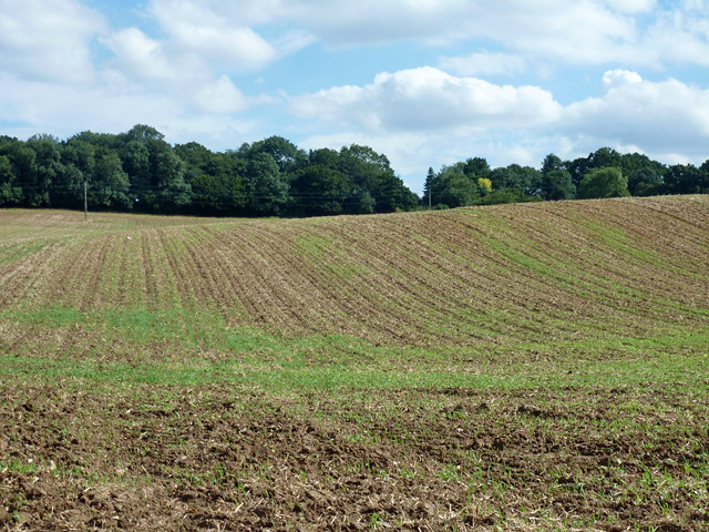
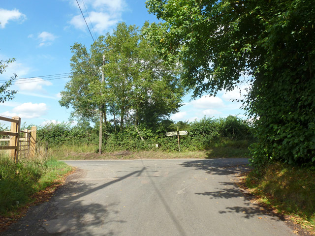
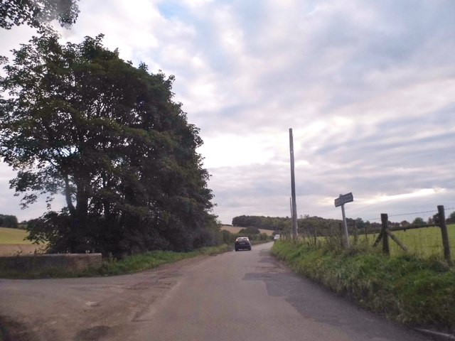
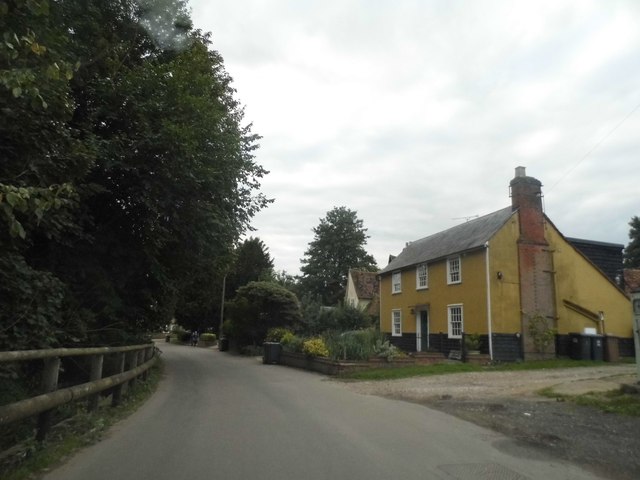
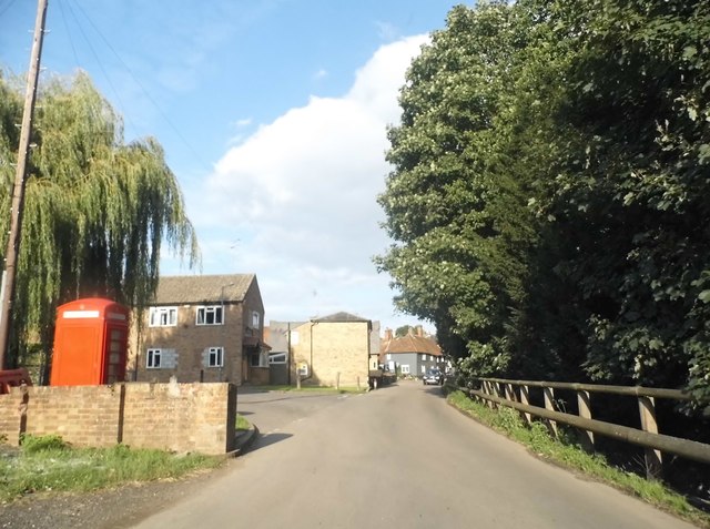
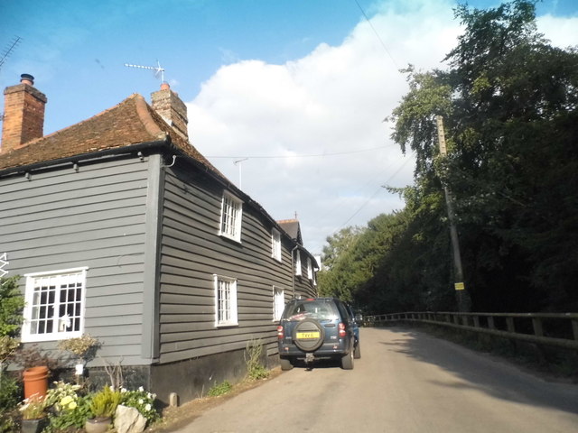
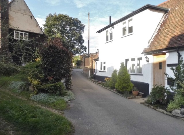
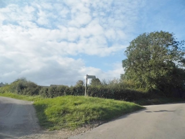
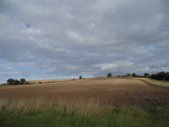
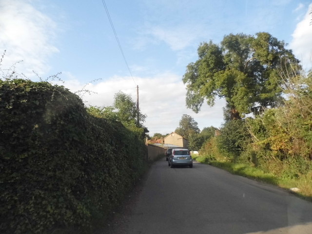
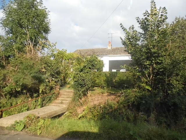
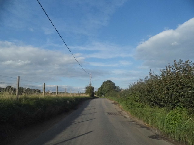
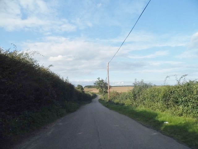
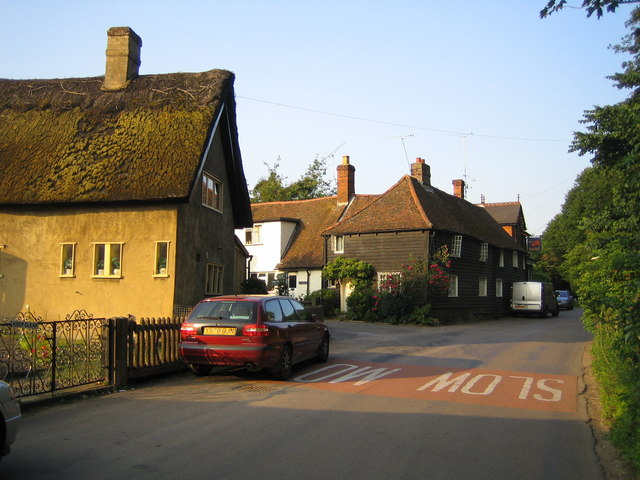
Shelly's Mead Plantation Images
Images are sourced within 2km of 51.872144/-0.039456537 or Grid Reference TL3521. Thanks to Geograph Open Source API. All images are credited.


Shelly's Mead Plantation is located at Grid Ref: TL3521 (Lat: 51.872144, Lng: -0.039456537)
Administrative County: Hertfordshire
District: East Hertfordshire
Police Authority: Hertfordshire
What 3 Words
///token.wished.lifts. Near Puckeridge, Hertfordshire
Related Wikis

Little Munden
Little Munden or Munden-Frewell or Munden Parva is a civil parish in the East Hertfordshire district, in the county of Hertfordshire, England. In 2011...

Sacombe Green
Sacombe Green is a hamlet located to the east of the village of Sacombe, in the East Hertfordshire district, in the county of Hertfordshire, England....

Little Munden Primary School
Little Munden Primary School is a Church of England voluntary controlled primary school in the village of Dane End, near Ware in Hertfordshire. It is a...
Dane End
Dane End is a hamlet to the north of Ware in Hertfordshire, England situated between the A602 and A10. It is within Little Munden civil parish and East...

Standon Green End
Standon Green End is a hamlet situated just off the A10 road between Ware and Puckeridge in Hertfordshire. At the 2011 Census the population of the hamlet...
Colliers End
Colliers End is a village in the civil parish of Standon, in the East Hertfordshire district, in Hertfordshire, England. It lies upon what was the A10...
Standon Priory
Standon Priory was a priory in Essex, England. == References ==
Old Hall Green
Old Hall Green is a hamlet in Hertfordshire, England. At the 2011 Census the population was included in the civil parish of Standon. In 1793, an academy...
Nearby Amenities
Located within 500m of 51.872144,-0.039456537Have you been to Shelly's Mead Plantation?
Leave your review of Shelly's Mead Plantation below (or comments, questions and feedback).