Shelly's Wood

Wood, Forest in Hertfordshire East Hertfordshire

England

Shelly's Wood

Junction on Munden Road, Dane End
Junction on Munden Road, Dane End Credit: David Howard

Shelly's Wood is a scenic woodland located in Hertfordshire, England. Covering an area of approximately 100 acres, the wood is known for its natural beauty and diverse flora and fauna. The wood is situated in close proximity to the charming village of Shelly, hence the name.

Shelly's Wood is primarily composed of broadleaf trees such as oak, beech, and ash, which create a dense canopy that provides shade and shelter to a variety of wildlife. The forest floor is covered in a carpet of wildflowers, including bluebells and primroses, which bloom in vibrant colors during the spring season, attracting visitors and nature lovers.

The wood is crisscrossed by a network of well-maintained footpaths, making it an ideal location for leisurely walks and outdoor activities. The trails meander through the wood, offering visitors the opportunity to explore the different sections and discover hidden treasures along the way. The wood also features a picnic area, where visitors can relax and enjoy a meal amidst the tranquil surroundings.

Nature enthusiasts visiting Shelly's Wood can expect to spot a wide variety of wildlife, including squirrels, rabbits, and an array of bird species, such as woodpeckers and owls. The wood is also home to several protected species, including the rare lesser spotted woodpecker.

Shelly's Wood is managed by the local authorities, who strive to maintain its natural integrity and ensure its preservation for future generations. It is a cherished natural resource in Hertfordshire, offering visitors a tranquil escape from the hustle and bustle of everyday life and providing a haven for both wildlife and humans alike.

If you have any feedback on the listing, please let us know in the comments section below.

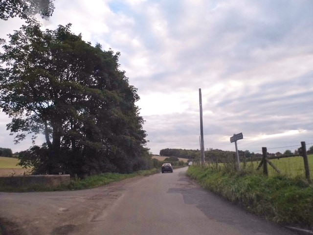
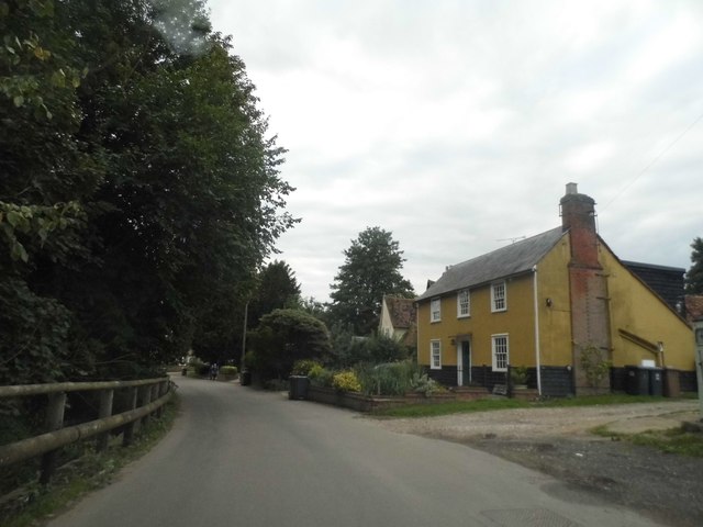
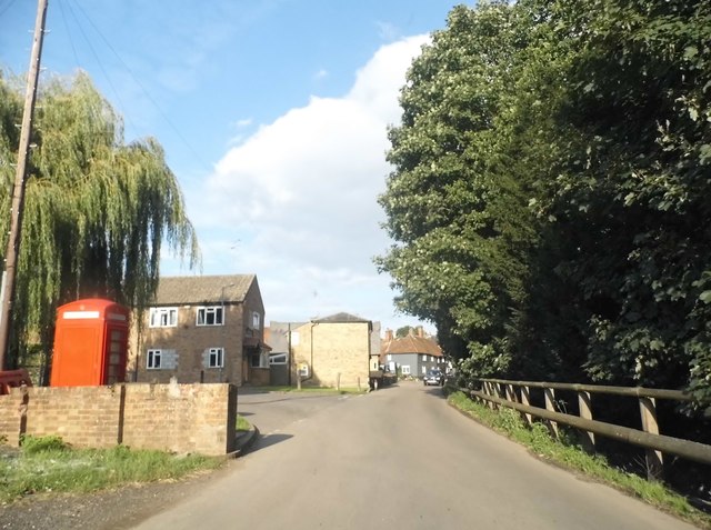
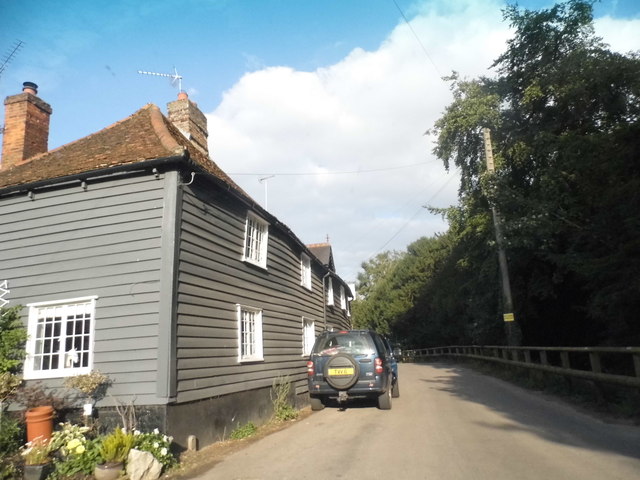
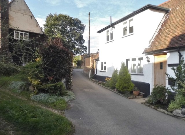
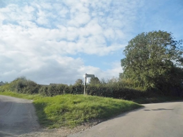
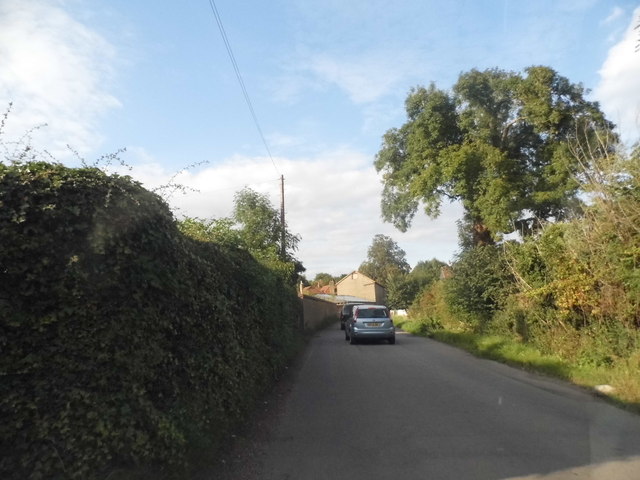
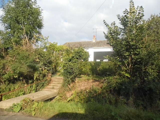
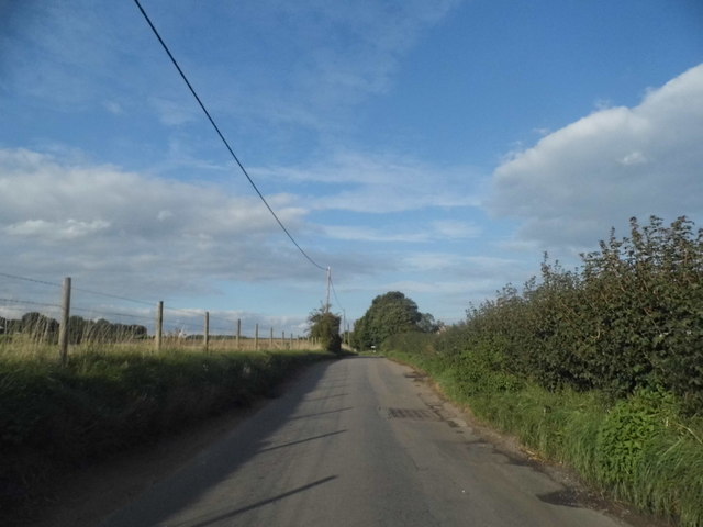
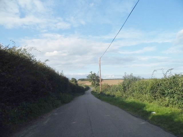
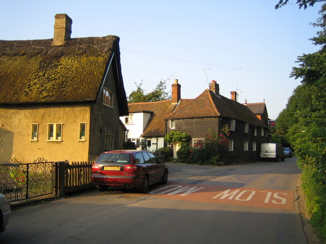
Shelly's Wood Images

Images are sourced within 2km of 51.872994/-0.039201659 or Grid Reference TL3521. Thanks to Geograph Open Source API. All images are credited.

Junction on Munden Road, Dane End
Munden Road, Dane End
Dane End village
Dane End village
Munden Road, Dane End
Little close in Dane End
Turn right to Haultwick Junction in Dane End
Turn right to Haultwick
Junction in Dane End
Munden Road, Dane End
Bungalow on Munden Road, Dane End
Munden Road, Dane End
The road to Haultwick from Dane End
All Saints Church, Little Munden Grade I listed church, extensively described at this <span class="nowrap"><a title="https://historicengland.org.uk/listing/the-list/list-entry/1102260" rel="nofollow ugc noopener" href="https://historicengland.org.uk/listing/the-list/list-entry/1102260">Link</a><img style="margin-left:2px;" alt="External link" title="External link - shift click to open in new window" src="https://s1.geograph.org.uk/img/external.png" width="10" height="10"/></span>.
All Saints Church, Little Munden
Grade I listed church, extensively described at this LinkExternal link.
Little Munden Primary School According to this <span class="nowrap"><a title="https://historicengland.org.uk/listing/the-list/list-entry/1102261" rel="nofollow ugc noopener" href="https://historicengland.org.uk/listing/the-list/list-entry/1102261">Link</a><img style="margin-left:2px;" alt="External link" title="External link - shift click to open in new window" src="https://s1.geograph.org.uk/img/external.png" width="10" height="10"/></span> the school has been on this site since 1825. Over the years various extensions and enlargements have been executed. Grade II listed.
Little Munden Primary School
According to this LinkExternal link the school has been on this site since 1825. Over the years various extensions and enlargements have been executed. Grade II listed.
Little Munden Primary School View of the old school house from Little Munden church. Grade II listed.
Little Munden Primary School
View of the old school house from Little Munden church. Grade II listed.
Little Munden Memorial Hall, Dane End
Dane End : vintage petrol pumps
All Saints church, Little Munden, Herts. Apart from the odd piece of work from the Norman period, the church dates mainly from the 14th and 15th century. It stands on one of the many rolling hills in this part of Hertfordshire and this approach is on the narrow lane from Dane End.
All Saints church, Little Munden, Herts.
Apart from the odd piece of work from the Norman period, the church dates mainly from the 14th and 15th century. It stands on one of the many rolling hills in this part of Hertfordshire and this approach is on the narrow lane from Dane End.
Dane End Tributary & Smart's Hill Viewed from the road between Dane End and Sacombe, Dane End Tributary flows into the River Beane near Watton at Stone. Smart's Hill is to the right.
Dane End Tributary & Smart's Hill
Viewed from the road between Dane End and Sacombe, Dane End Tributary flows into the River Beane near Watton at Stone. Smart's Hill is to the right.
Show me another place!

Shelly's Wood is located at Grid Ref: TL3521 (Lat: 51.872994, Lng: -0.039201659)

Administrative County: Hertfordshire

District: East Hertfordshire

Police Authority: Hertfordshire

What 3 Words

///cheese.cost.vine. Near Puckeridge, Hertfordshire

Related Wikis

Little Munden

Little Munden or Munden-Frewell or Munden Parva is a civil parish in the East Hertfordshire district, in the county of Hertfordshire, England. In 2011...

Little Munden Primary School

Little Munden Primary School is a Church of England voluntary controlled primary school in the village of Dane End, near Ware in Hertfordshire. It is a...

Dane End

Dane End is a hamlet to the north of Ware in Hertfordshire, England situated between the A602 and A10. It is within Little Munden civil parish and East...

Sacombe Green

Sacombe Green is a hamlet located to the east of the village of Sacombe, in the East Hertfordshire district, in the county of Hertfordshire, England....

Nearby Amenities

Located within 500m of 51.872994,-0.039201659
Potter's Green
Created By: Potlatch 0.10f
Place: hamlet
Source: npe
Lat/Long: 51.8690674/-0.0371511
Barrier: kissing_gate
Lat/Long: 51.8747324/-0.0353996
Barrier: kissing_gate
Bicycle: no
Foot: yes
Lat/Long: 51.8768459/-0.038232
Power: pole
Lat/Long: 51.8715429/-0.0445192
Power: pole
Lat/Long: 51.8690713/-0.0424771
Power: pole
Lat/Long: 51.8694224/-0.0433971
Power: pole
Lat/Long: 51.8706611/-0.0453739
Power: pole
Lat/Long: 51.8699838/-0.0443412
Trenchern Hills
Natural: peak
Lat/Long: 51.8771591/-0.0379293
The data included in this document is from www.openstreetmap.org. The data is made available under ODbL.

Have you been to Shelly's Wood?

Leave your review of Shelly's Wood below (or comments, questions and feedback).