South Belt

Wood, Forest in Hertfordshire East Hertfordshire

England

South Belt

Gazebo reflections at Ware
Gazebo reflections at Ware Credit: Peter S

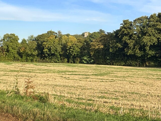
South Belt, Hertfordshire (Wood, Forest) is a small village located in the county of Hertfordshire, England. Situated in the southern part of the county, it is known for its beautiful woodlands and lush forests, providing residents with a picturesque and serene environment.

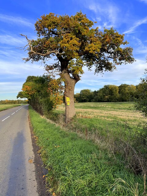
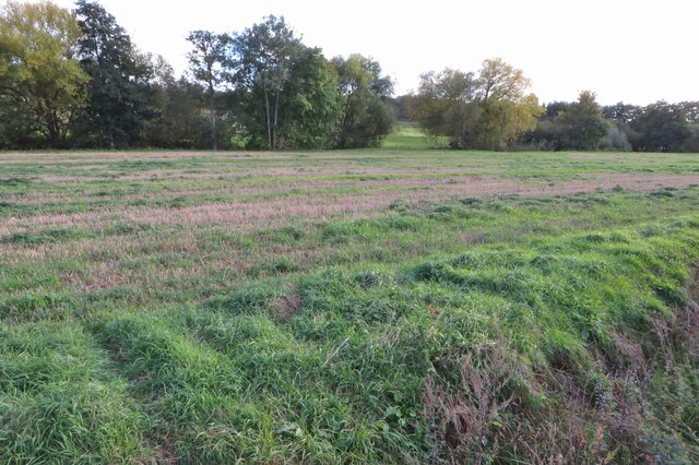
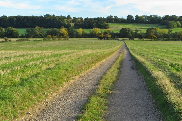
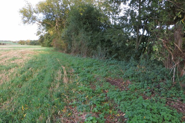
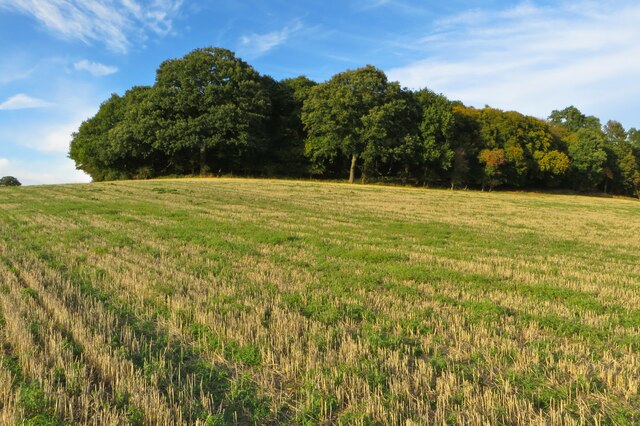
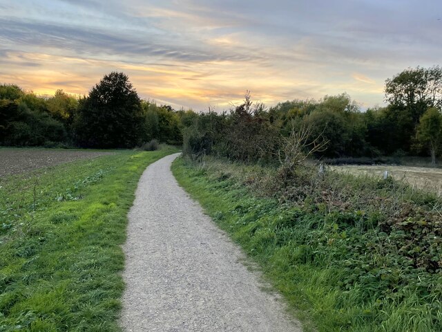
The village is characterized by its rural charm and is surrounded by a range of natural attractions, making it an ideal location for nature lovers and outdoor enthusiasts. The woodlands in South Belt offer a variety of walking trails, providing visitors with the opportunity to explore the abundant flora and fauna of the area.

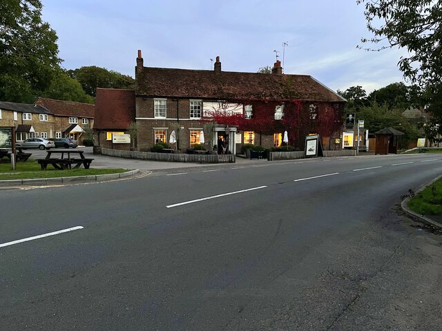
The village itself is small, with a close-knit community that takes pride in maintaining its rural character. It has a primary school, a village hall, and a few local amenities, such as a small convenience store and a couple of traditional pubs. The residents of South Belt value their community spirit and often organize events and gatherings to bring people together.

Despite its tranquil setting, South Belt is conveniently located near larger towns and cities. The nearby town of Hertford offers a wider range of amenities, including shops, restaurants, and leisure facilities. The village is well-connected to the rest of the county through road networks, making it easily accessible for both residents and visitors.

Overall, South Belt, Hertfordshire (Wood, Forest) provides a peaceful and idyllic setting for those seeking a rural lifestyle, surrounded by the beauty of woodlands and forests, while still enjoying the convenience of nearby amenities.

If you have any feedback on the listing, please let us know in the comments section below.
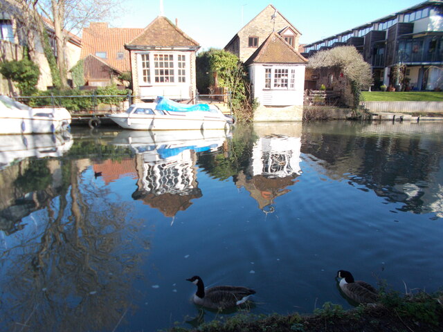
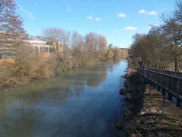
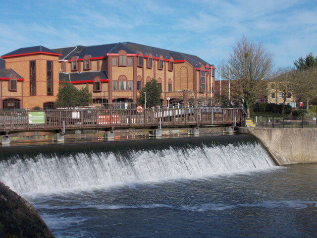
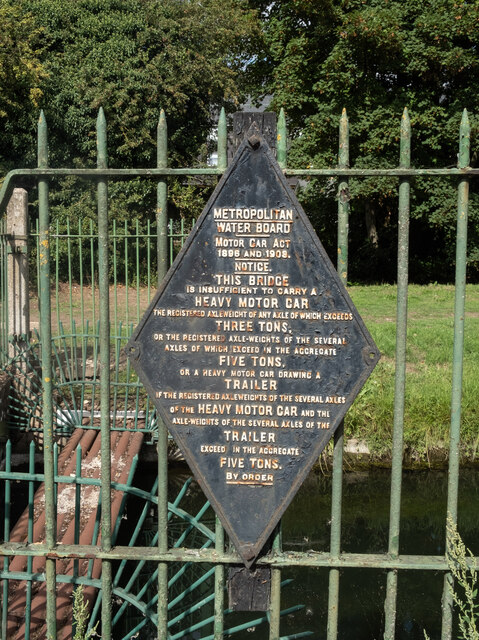
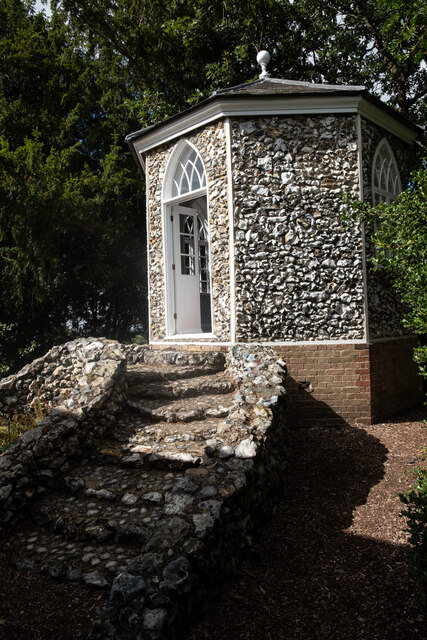
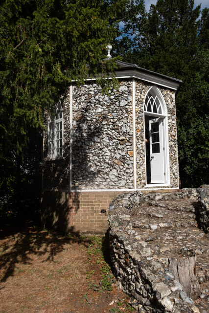
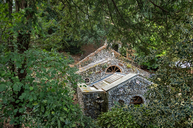
South Belt Images

Images are sourced within 2km of 51.824133/-0.035592221 or Grid Reference TL3515. Thanks to Geograph Open Source API. All images are credited.

Gazebo reflections at Ware
River Lea from a footbridge
River Lea weir
River Lea weir
Ware : New River bridge weight warning sign
Ware : Scott's Grotto summerhouse Grade II* listed - <span class="nowrap"><a title="https://historicengland.org.uk/listing/the-list/list-entry/1275397" rel="nofollow ugc noopener" href="https://historicengland.org.uk/listing/the-list/list-entry/1275397">Link</a><img style="margin-left:2px;" alt="External link" title="External link - shift click to open in new window" src="https://s1.geograph.org.uk/img/external.png" width="10" height="10"/></span>.
Ware : Scott's Grotto summerhouse
Grade II* listed - LinkExternal link.
Ware : Scott's Grotto summerhouse
Ware : Scott's Grotto Grade I listed - <span class="nowrap"><a title="https://historicengland.org.uk/listing/the-list/list-entry/1238171?section=official-list-entry" rel="nofollow ugc noopener" href="https://historicengland.org.uk/listing/the-list/list-entry/1238171?section=official-list-entry">Link</a><img style="margin-left:2px;" alt="External link" title="External link - shift click to open in new window" src="https://s1.geograph.org.uk/img/external.png" width="10" height="10"/></span>.
Ware : Scott's Grotto
Grade I listed - LinkExternal link.
Evening on Anchor Lane
A noticed oak on Anchor Lane
Trees along the River Rib
Byway down to Anchor Lane
Tree lined river at the foot of a field
Wade's Wood and stubble field
Trees along the river Rib and Thundridge church tower
The Feathers Inn in Wadesmill
Hertfordshire Way going west along Old Church Lane
Fanhams Hall Now a Country House Hotel, this C18th Jacobean style mansion (remodelled in 1901) is Grade II listed. It was the former home to Henry Page-Croft, Winston Churchill's Under Secretary of State for War.
Fanhams Hall
Now a Country House Hotel, this C18th Jacobean style mansion (remodelled in 1901) is Grade II listed. It was the former home to Henry Page-Croft, Winston Churchill's Under Secretary of State for War.
Fanhams Hall & Formal Gardens Just a small part of the gardens of <a href="https://www.geograph.org.uk/photo/7380046">TL3715 : Fanhams Hall</a>
Fanhams Hall & Formal Gardens
Just a small part of the gardens of TL3715 : Fanhams Hall
Show me another place!

South Belt is located at Grid Ref: TL3515 (Lat: 51.824133, Lng: -0.035592221)

Administrative County: Hertfordshire

District: East Hertfordshire

Police Authority: Hertfordshire

What 3 Words

///closes.mild.tiger. Near Ware, Hertfordshire

Nearby Locations

South Belt Lane Plantation

Related Wikis

Ware F.C.

Ware F.C. is a football club established in 1892 and based at Wodson Park in Ware, Hertfordshire, England, currently members of the Southern League Division...

Wodson Park F.C.

Wodson Park Football Club is a football club from Ware, Hertfordshire. The club is affiliated to the Hertfordshire County Football Association. The men...

English Championship (golf)

The English Championship was a professional golf tournament held 6–9 August 2020 at Hanbury Manor Golf Club in Thundridge, near Ware, Hertfordshire, England...
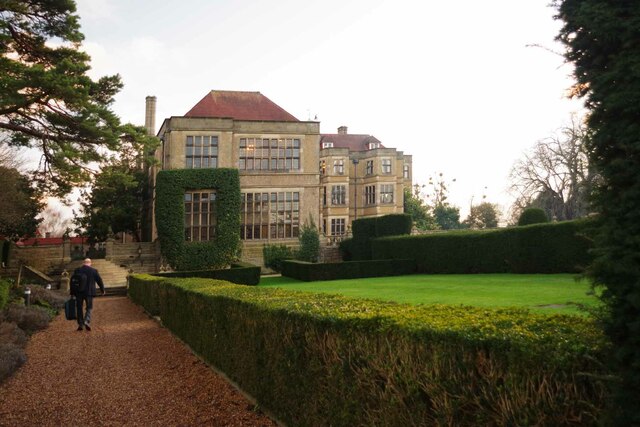
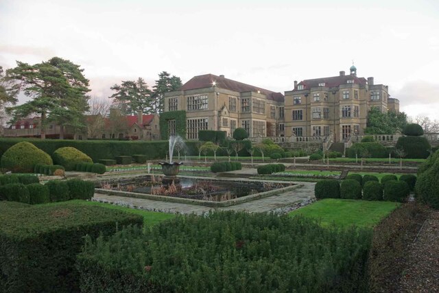
Hanbury Manor

Hanbury Manor, centred on the multi-wing Hanbury Manor Hotel, is a converted late-Victorian country house and adjoining golf course in Thundridge, north...

Downfield Pit

Downfield Pit is a 3.6-hectare (8.9-acre) geological Site of Special Scientific Interest near Ware in Hertfordshire. It is in the Geological Conservation...

Chauncy School

Chauncy School is a secondary school located in Ware, Hertfordshire in the East of England. It is the only mixed secondary school in Ware. The school pride...

Ware Rural District

Ware Rural District was a rural district in Hertfordshire, England from 1894 to 1974, covering an area in the east of the county. == Evolution == The...

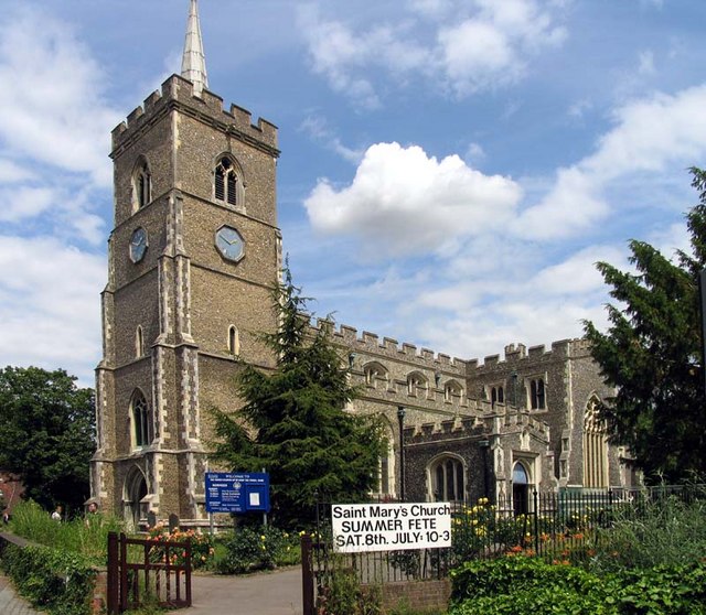
St Mary's Church, Ware

St Mary's Church is a grade I listed parish church in Ware, Hertfordshire, England. == History == There has been a church on the site since the Norman...

Nearby Amenities

Located within 500m of 51.824133,-0.035592221
Motorway Junction
Moles Interchange
Lat/Long: 51.8266163/-0.0355607
Noexit: yes
Lat/Long: 51.8216741/-0.0414729
Bus Stop
Amberley Green
Bus: yes
Naptan AtcoCode: 210021302445
Naptan Bearing: W
Naptan CommonName: Amberley Green
Naptan Crossing: Amberley Green
Naptan Indicator: adj
Naptan Landmark: Amberley Green
Naptan NaptanCode: hrtdtwgp
Naptan PlusbusZoneRef: WARE
Naptan ShortCommonName: NA
Naptan Street: Quincey Road
Naptan Verified: no
Public Transport: platform
Source: naptan_import
Lat/Long: 51.8226846/-0.0368223
Bus Stop
Amberley Green
Bus: yes
Naptan AtcoCode: 210021302460
Naptan Bearing: E
Naptan CommonName: Amberley Green
Naptan Crossing: Amberley Green
Naptan Indicator: opp
Naptan Landmark: Amberley Green
Naptan NaptanCode: hrtdtpwj
Naptan PlusbusZoneRef: WARE
Naptan ShortCommonName: NA
Naptan Street: Quincey Road
Naptan Verified: no
Public Transport: platform
Source: naptan_import
Lat/Long: 51.8227608/-0.0370802
Bus Stop
Wodson Park
Bus: yes
Naptan AtcoCode: 210021302465
Naptan Bearing: N
Naptan CommonName: Wodson Park
Naptan Crossing: Wodson Park Sports Centre
Naptan Indicator: opp
Naptan Landmark: Wodson Park Sports Centre
Naptan NaptanCode: hrtdtpwm
Naptan PlusbusZoneRef: WARE
Naptan ShortCommonName: NA
Naptan Street: Wadesmill Road
Naptan Verified: no
Public Transport: platform
Source: naptan_import
Lat/Long: 51.8243123/-0.0352133
Bus Stop
Wodson Park
Bus: yes
Naptan AtcoCode: 210021310480
Naptan Bearing: S
Naptan CommonName: Wodson Park
Naptan Crossing: Wodson Park Sports Centre
Naptan Indicator: o/s
Naptan Landmark: Wodson Park Sports Centre
Naptan NaptanCode: hrtdpdta
Naptan PlusbusZoneRef: WARE
Naptan ShortCommonName: NA
Naptan Street: Wadesmill Road
Naptan Verified: no
Public Transport: platform
Source: naptan_import
Lat/Long: 51.8244605/-0.0349311
Barrier: yes
Lat/Long: 51.8203043/-0.0318646
Crossing
Crossing: unmarked
Crossing Island: yes
Tactile Paving: yes
Lat/Long: 51.8225335/-0.0356504
The data included in this document is from www.openstreetmap.org. The data is made available under ODbL.

Have you been to South Belt?

Leave your review of South Belt below (or comments, questions and feedback).