Loverswalk Wood

Wood, Forest in Hertfordshire East Hertfordshire

England

Loverswalk Wood

Road junction, Potters Green Rowney Lane meets Whitehill.
Road junction, Potters Green Credit: Robin Webster

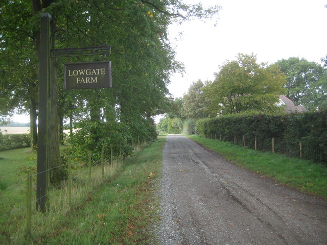
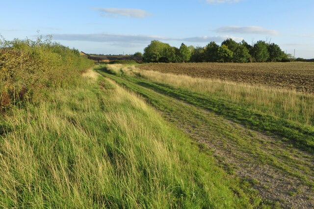
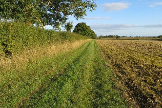
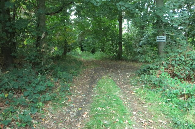
Loverswalk Wood is a picturesque woodland located in Hertfordshire, England. Covering an area of approximately 20 acres, it is a popular destination for nature enthusiasts and those seeking tranquility amidst the lush greenery. The wood is situated near the village of Hertingfordbury, just a short distance from Hertford.

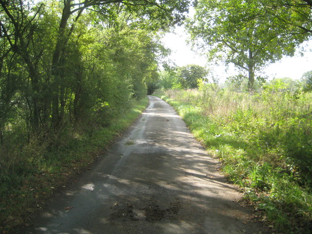
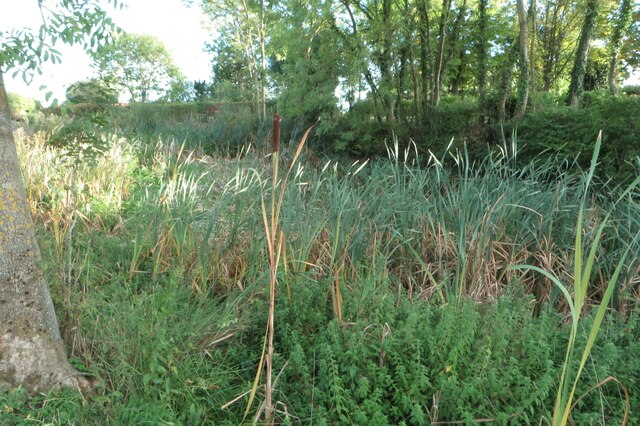
As visitors enter Loverswalk Wood, they are greeted by a well-maintained footpath that winds its way through the dense forest. Towering oak, beech, and birch trees dominate the landscape, creating a captivating canopy of foliage that provides shade during the summer months. The undergrowth is abundant with bluebells, wild garlic, and ferns, adding to the enchanting atmosphere.

The wood is home to a diverse range of wildlife, making it a haven for nature lovers. Birdwatchers can spot various species, including woodpeckers, thrushes, and robins, while small mammals like squirrels and rabbits can often be seen scurrying through the underbrush. Loverswalk Wood is also known for its population of butterflies and insects, which thrive in the favorable habitat.

Walking through Loverswalk Wood is a delightful experience, with the soothing sounds of birdsong and the rustling of leaves accompanying every step. The wood is a popular spot for leisurely strolls, picnics, and even dog walking, as it offers a peaceful retreat from the hustle and bustle of everyday life.

Overall, Loverswalk Wood is a charming woodland that showcases the natural beauty of Hertfordshire. Its rich biodiversity, well-maintained footpaths, and serene ambiance make it an ideal destination for those seeking solace in nature.

If you have any feedback on the listing, please let us know in the comments section below.

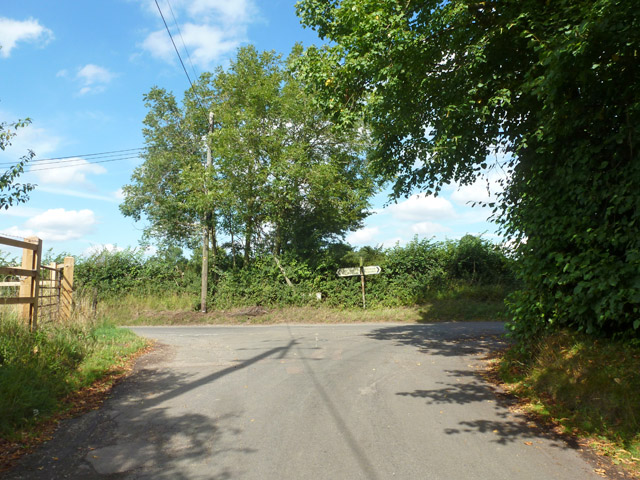
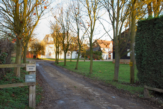
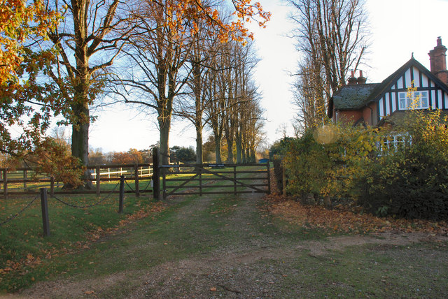
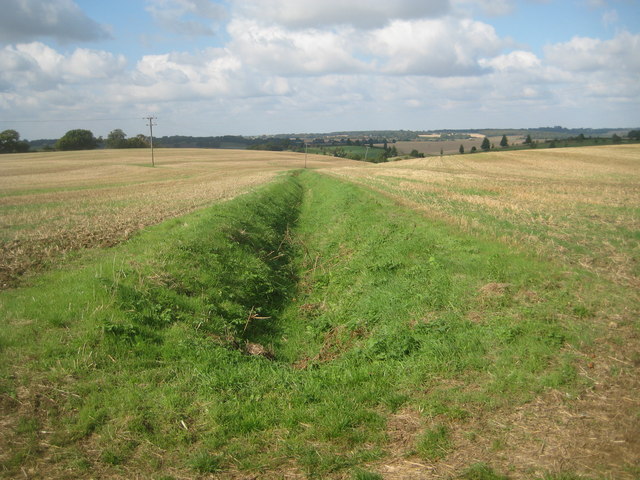
Loverswalk Wood Images

Images are sourced within 2km of 51.852747/-0.040503007 or Grid Reference TL3518. Thanks to Geograph Open Source API. All images are credited.

Road junction, Potters Green Rowney Lane meets Whitehill.
Road junction, Potters Green
Rowney Lane meets Whitehill.
View WNW from Rowney Lane The green patch in the middle is the extremity of Whitehill golf course, most of which is below the brow of the hill on the right.
View WNW from Rowney Lane
The green patch in the middle is the extremity of Whitehill golf course, most of which is below the brow of the hill on the right.
Potter's Hall
Potter's Hall
Rowney Priory Entrance to Rowney Priory from Rowney Lane
Rowney Priory
Entrance to Rowney Priory from Rowney Lane
Standon Green End Farm This farm straddles four grid squares, TL 3520, 3620,3519, 3619. This picture is mainly on grid TL3620
Standon Green End Farm
This farm straddles four grid squares, TL 3520, 3620,3519, 3619. This picture is mainly on grid TL3620
Sacombe: Watershed drainage ditch near Rowney Priory This is the start of a drain that flows westwards into Dane End Tributary and thence via the River Beane into the River Lee. Behind the photographer the drainage is to the east and via the River Rib into the Lee. Rowney Lane passes along the watershed and the OS show a height of 116 metres above sea level on the road.
Sacombe: Watershed drainage ditch near Rowney Priory
This is the start of a drain that flows westwards into Dane End Tributary and thence via the River Beane into the River Lee. Behind the photographer the drainage is to the east and via the River Rib into the Lee. Rowney Lane passes along the watershed and the OS show a height of 116 metres above sea level on the road.
Sacombe: Rowney Lane Rowney leads from Sacombe Green to Rowney Priory. The OS show a height of 116 metres above sea level along the lane in this vicinity.
Sacombe: Rowney Lane
Rowney leads from Sacombe Green to Rowney Priory. The OS show a height of 116 metres above sea level along the lane in this vicinity.
Sacombe: Lowgate Lane Roman Road Lowgate Lane leading to Lowgate Farm forms a section of a secondary Roman Road, which linked the settlements of the region. Unlike the major roads such as Watling Street and Ermine Street, which were built to allow the strategic movement of military forces soon after the Roman Conquest and maintained thereafter as a tool of the provincial government, these lesser routes are generally thought to have developed in the second and third centuries AD to serve the emerging pattern of urban and rural settlement. Such roads, sometimes formalising far older routes, are thought to have been the responsibility of local government, and their construction emphasises the importance that the territorial capital (in this case Verulamium) placed on providing effective links between town and country. This section is now a Public Byway.
Sacombe: Lowgate Lane Roman Road
Lowgate Lane leading to Lowgate Farm forms a section of a secondary Roman Road, which linked the settlements of the region. Unlike the major roads such as Watling Street and Ermine Street, which were built to allow the strategic movement of military forces soon after the Roman Conquest and maintained thereafter as a tool of the provincial government, these lesser routes are generally thought to have developed in the second and third centuries AD to serve the emerging pattern of urban and rural settlement. Such roads, sometimes formalising far older routes, are thought to have been the responsibility of local government, and their construction emphasises the importance that the territorial capital (in this case Verulamium) placed on providing effective links between town and country. This section is now a Public Byway.
Sacombe, St Catherine
Footpath by Temple Farm
Damp pond at Temple Farm Part of the moat mentioned on the map perhaps
Damp pond at Temple Farm
Part of the moat mentioned on the map perhaps
Chain Walk approaching Temple Farm
Chain Walk going to Temple Farm
Sacombebury Farm
Sacombebury Farm
Private woodland in Sacombe Park
St Catherine's churchyard
Sacombe village I think they don't want us to use this road.
Sacombe village
I think they don't want us to use this road.
Barn on Sacombe Green Road
Show me another place!

Loverswalk Wood is located at Grid Ref: TL3518 (Lat: 51.852747, Lng: -0.040503007)

Administrative County: Hertfordshire

District: East Hertfordshire

Police Authority: Hertfordshire

What 3 Words

///stores.punk.runner. Near Ware, Hertfordshire

Related Wikis

Sacombe Green

Sacombe Green is a hamlet located to the east of the village of Sacombe, in the East Hertfordshire district, in the county of Hertfordshire, England....

High Cross, East Hertfordshire

High Cross is a village in the civil parish of Thundridge, in the East Hertfordshire district, in Hertfordshire, England. It lies upon what was the A10...
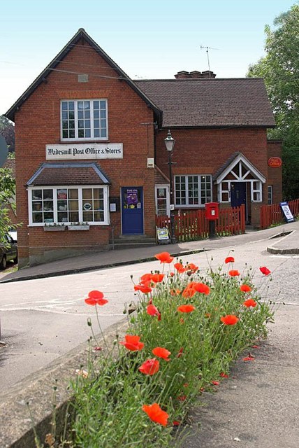
Wadesmill

Wadesmill is a hamlet in Hertfordshire, England, located on the north side of the River Rib, with an estimated population of 264. At the 2011 Census the...

Standon Green End

Standon Green End is a hamlet situated just off the A10 road between Ware and Puckeridge in Hertfordshire. At the 2011 Census the population of the hamlet...

Sacombe

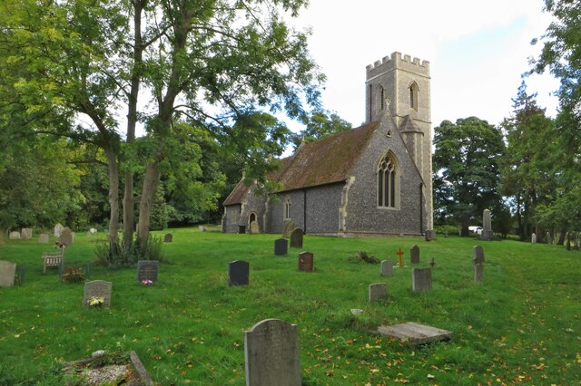
Sacombe is a village and civil parish in the East Hertfordshire district, of Hertfordshire, England. At the 2001 census it had a population of 165. Sacombe...

Thundridge

Thundridge is a village and civil parish in the East Hertfordshire district, in the county of Hertfordshire, England. It is about two miles away from...

Youngsbury

Youngsbury House is a Grade II listed house near Wadesmill, Hertfordshire, England. The stable block is Grade II* listed.The house was built in about 1745...

Tonwell

Tonwell is a small village in Bengeo Rural parish, Hertfordshire.The village is situated just off the A602 (formerly B1001), having been bypassed in 1987...

Nearby Amenities

Located within 500m of 51.852747,-0.040503007
Addr Housename: The Garden Cottage
Lat/Long: 51.8521891/-0.0437258
Material: wood
Power: pole
Lat/Long: 51.850028/-0.0370536
Power: pole
Lat/Long: 51.8558018/-0.0445263
Power: pole
Lat/Long: 51.8536465/-0.0412942
Material: wood
Power: pole
Lat/Long: 51.8515299/-0.0388356
Material: wood
Power: pole
Lat/Long: 51.8507744/-0.037929
Power: pole
Lat/Long: 51.8544126/-0.0421427
Material: wood
Power: pole
Lat/Long: 51.8522771/-0.0397475
Power: pole
Lat/Long: 51.8551813/-0.0429528
Power: pole
Lat/Long: 51.853011/-0.0406112
Power: pole
Lat/Long: 51.8524768/-0.0437511
Power: pole
Lat/Long: 51.852736/-0.0421937
The data included in this document is from www.openstreetmap.org. The data is made available under ODbL.

Have you been to Loverswalk Wood?

Leave your review of Loverswalk Wood below (or comments, questions and feedback).