Little Wood Spinney

Wood, Forest in Huntingdonshire Huntingdonshire

England

Little Wood Spinney

Lane up to Rowey Farm Lane up to Rowey Farm on Warboys Heath
Lane up to Rowey Farm Credit: Shaun Ferguson

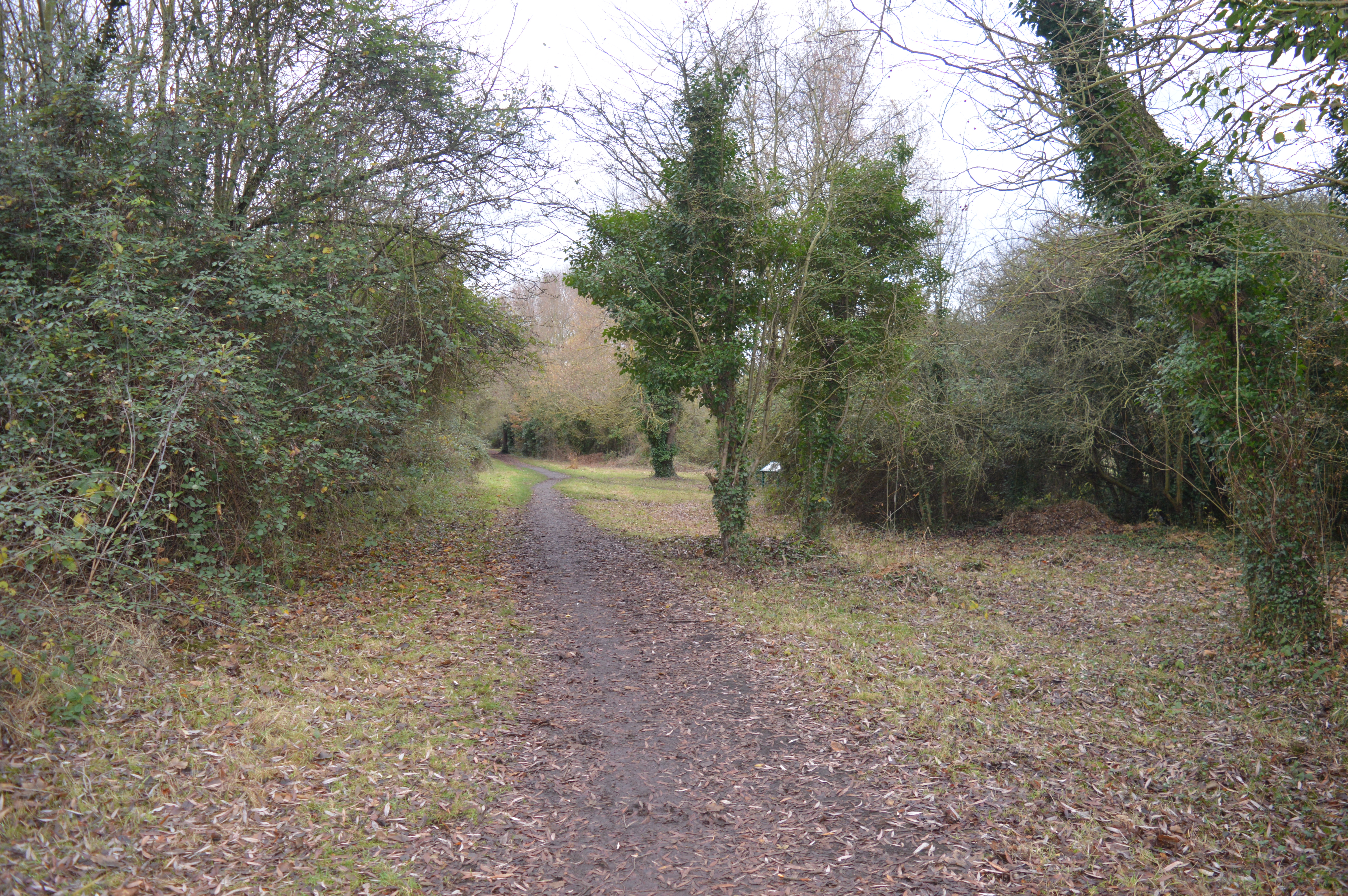
Little Wood Spinney is a small woodland area located in Huntingdonshire, England. Situated in the southeastern part of the county, it covers an approximate area of 10 acres. The spinney is characterized by its dense coverage of trees, predominantly consisting of native broadleaf species such as oak, ash, and birch, providing a rich habitat for various flora and fauna.

The woodland is known for its tranquil and serene atmosphere, making it a popular spot for nature enthusiasts and those seeking a peaceful retreat. The diverse range of plant life found here includes bluebells, primroses, and wild garlic, creating a vibrant display during the spring months.

Little Wood Spinney is also home to a variety of wildlife, including small mammals like squirrels, hedgehogs, and rabbits. Birdwatchers can enjoy spotting species such as woodpeckers, tits, and thrushes. The woodland's proximity to water sources also attracts an assortment of amphibians and insects.

The spinney offers several walking trails, allowing visitors to explore its natural beauty while enjoying the fresh air. The paths wind through the trees, providing glimpses of sunlight filtering through the canopy. There are also picnic areas where visitors can relax and appreciate the peaceful surroundings.

Little Wood Spinney is a cherished natural retreat that serves as a valuable resource for the local community. Its conservation efforts ensure the preservation of this woodland gem, allowing future generations to enjoy its beauty and biodiversity.

If you have any feedback on the listing, please let us know in the comments section below.

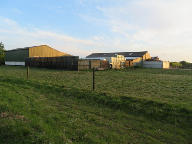
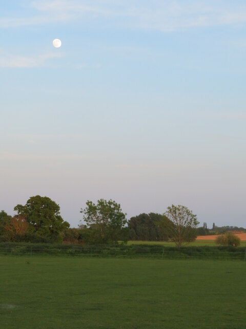
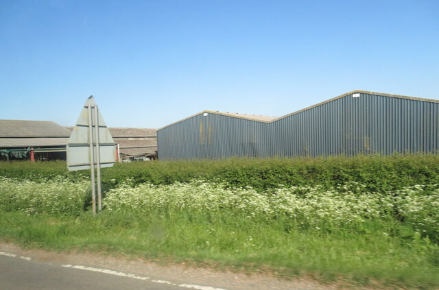
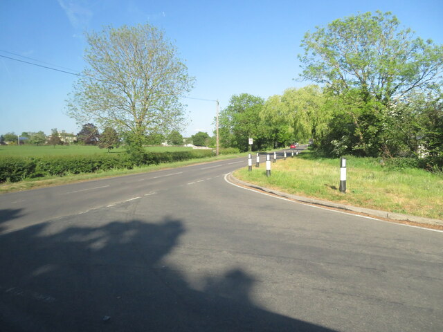
Little Wood Spinney Images

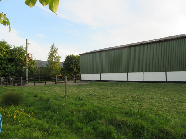
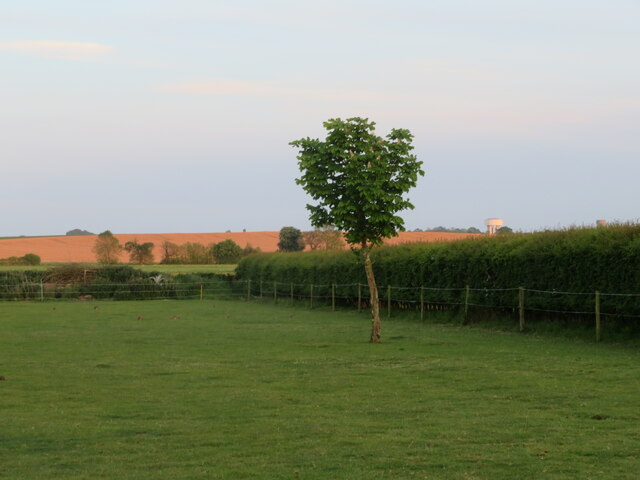
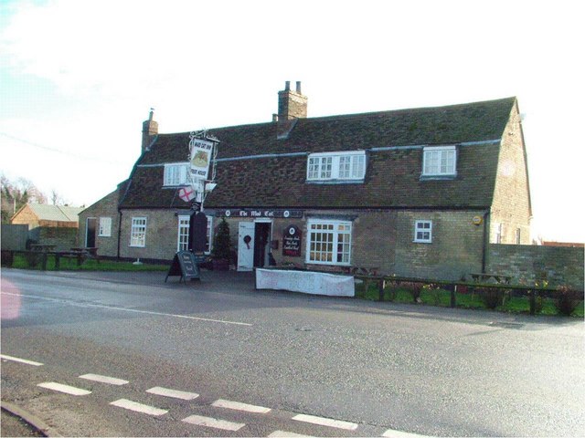
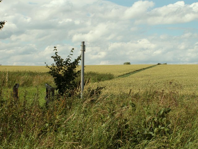
Images are sourced within 2km of 52.391512/-0.030467405 or Grid Reference TL3478. Thanks to Geograph Open Source API. All images are credited.

Lane up to Rowey Farm Lane up to Rowey Farm on Warboys Heath
Lane up to Rowey Farm
Lane up to Rowey Farm on Warboys Heath
Long Drove, Pidley Fen This track leads to farmland at Pidley Fen and to Fen House.
Long Drove, Pidley Fen
This track leads to farmland at Pidley Fen and to Fen House.
Pathfinder walking trail in the parish of Pidley cum Fenton The Pathfinder trail is a circular walk of around 46miles through the arable lands and Ouse wash land of Cambridgeshire. <span class="nowrap"><a title="http://en.wikipedia.org/wiki/Pathfinder_March" rel="nofollow ugc noopener" href="http://en.wikipedia.org/wiki/Pathfinder_March">Link</a><img style="margin-left:2px;" alt="External link" title="External link - shift click to open in new window" src="https://s1.geograph.org.uk/img/external.png" width="10" height="10"/></span>
Pathfinder walking trail in the parish of Pidley cum Fenton
The Pathfinder trail is a circular walk of around 46miles through the arable lands and Ouse wash land of Cambridgeshire. LinkExternal link
Somersham, West End Farm buildings and pasture.
Somersham, West End
Farm buildings and pasture.
Full moon at Somersham Looking south from Heath View Close.
Full moon at Somersham
Looking south from Heath View Close.
Buildings at Park Farm On the B1086 south of Somersham.
Buildings at Park Farm
On the B1086 south of Somersham.
Course of old railway Looking NW along the old Great Eastern Railway, Somersham to Warboys and Ramsey.
The line opened in 1848. Now a golf course but this section is used as the Rothschild Way and Pathfinder Way long distance paths.
See also <a href="https://www.geograph.org.uk/photo/4703849">TL3678 : Flooded former railway cutting in Somersham, Cambridgeshire</a> <a href="https://www.geograph.org.uk/photo/4187981">TL3678 : Course of former railway, Somersham, Hunts</a>
Course of old railway
Looking NW along the old Great Eastern Railway, Somersham to Warboys and Ramsey. The line opened in 1848. Now a golf course but this section is used as the Rothschild Way and Pathfinder Way long distance paths. See also TL3678 : Flooded former railway cutting in Somersham, Cambridgeshire TL3678 : Course of former railway, Somersham, Hunts
The B1089 meets the B1086 west of Somersham Rural road junction.
The B1089 meets the B1086 west of Somersham
Rural road junction.
Farm barn, near Somersham Off Heath View Close.
Farm barn, near Somersham
Off Heath View Close.
Farmland at Somersham Looking south from Heath View Close. Note two water towers on the right in the distance at Bluntisham in <a href="https://www.geograph.org.uk/gridref/TL3675">TL3675</a>.
Farmland at Somersham
Looking south from Heath View Close. Note two water towers on the right in the distance at Bluntisham in TL3675.
Pidley Church Sunset Beautiful "fenland" sunset, taken from behind the church in Pidley
Pidley Church Sunset
Beautiful "fenland" sunset, taken from behind the church in Pidley
All Saints, Pidley Pidley has a beautiful church.  Pidley also has the Pidley Mountain Rescue Team!  In the midst of the flattest landscape in the UK, this charitable team is a major fund raiser for charity.
All Saints, Pidley
Pidley has a beautiful church. Pidley also has the Pidley Mountain Rescue Team! In the midst of the flattest landscape in the UK, this charitable team is a major fund raiser for charity.
The Mad Cat Inn at Pidley
West End Garage This old style petrol filling station, with interesting old pumps and signs, stands in Somersham along the B.1040 road to Warboys.
West End Garage
This old style petrol filling station, with interesting old pumps and signs, stands in Somersham along the B.1040 road to Warboys.
Part of the course at Lakeside Lodge Golf Centre This golf course has 8 lakes and over 15000 trees. The wind farm near Warboys can be seen in the far distance.
Part of the course at Lakeside Lodge Golf Centre
This golf course has 8 lakes and over 15000 trees. The wind farm near Warboys can be seen in the far distance.
Public footpath to Pidley church
'The Windmill' inn This lies between Pidley and Somersham on the B1086.
'The Windmill' inn
This lies between Pidley and Somersham on the B1086.
Footpath off King street Footpath off King street
Footpath off King street
Show me another place!

Little Wood Spinney is located at Grid Ref: TL3478 (Lat: 52.391512, Lng: -0.030467405)

Administrative County: Cambridgeshire

District: Huntingdonshire

Police Authority: Cambridgeshire

What 3 Words

///sleepy.handwriting.financial. Near Somersham, Cambridgeshire

Related Wikis

Pidley

Pidley is a small village in Cambridgeshire, England. Pidley lies approximately 7 miles (11 km) north-east of Huntingdon. Together with the neighbouring...

Somersham Town F.C.

Somersham Town Football Club is a football club based in Somersham, near St Ives in Cambridgeshire, England. They club are members of the Cambridgeshire...

Somersham

Somersham is a village and civil parish in Cambridgeshire, England. Somersham lies approximately 9 miles (14 km) east of Huntingdon and 4 miles (6 km)...

Somersham Local Nature Reserve

Somersham Local Nature Reserve is an 8.9 hectare Local Nature Reserve in Somersham in Cambridgeshire. It is owned and managed by Cambridgeshire County...

Nearby Amenities

Located within 500m of 52.391512,-0.030467405
Pub
Lakeside Lodge
Addr Postcode: PE28 3DF
Addr Street: Fenn Road
Sport: golf
Tourism: hotel
Website: http://www.lakeside-lodge.co.uk
Lat/Long: 52.39408/-0.0296772
Entrance: yes
Lat/Long: 52.39167/-0.0365596
The data included in this document is from www.openstreetmap.org. The data is made available under ODbL.

Have you been to Little Wood Spinney?

Leave your review of Little Wood Spinney below (or comments, questions and feedback).