Engineers Wood
Wood, Forest in Huntingdonshire Huntingdonshire
England
Engineers Wood
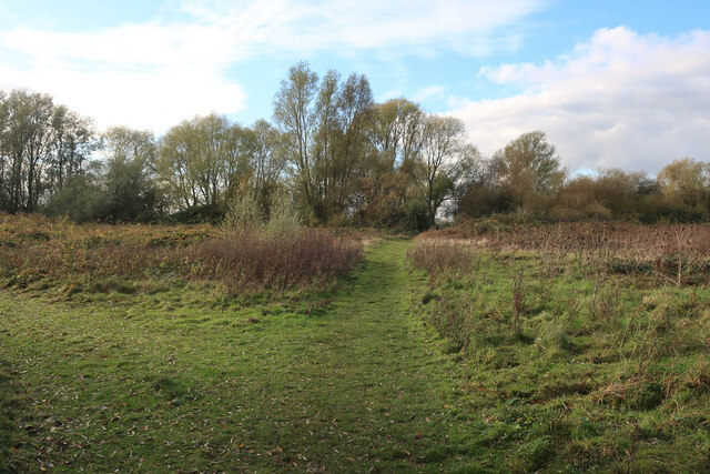
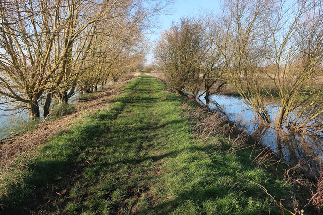
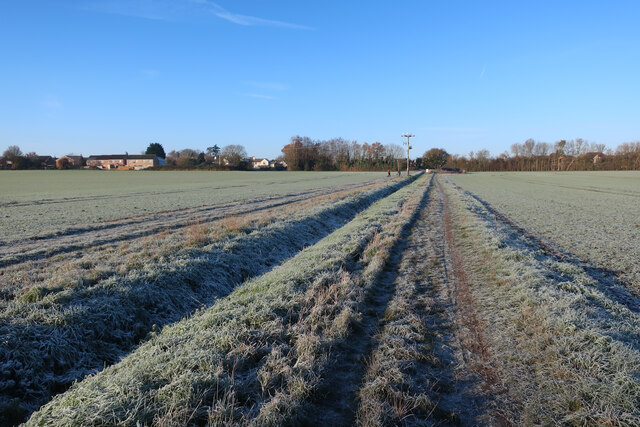
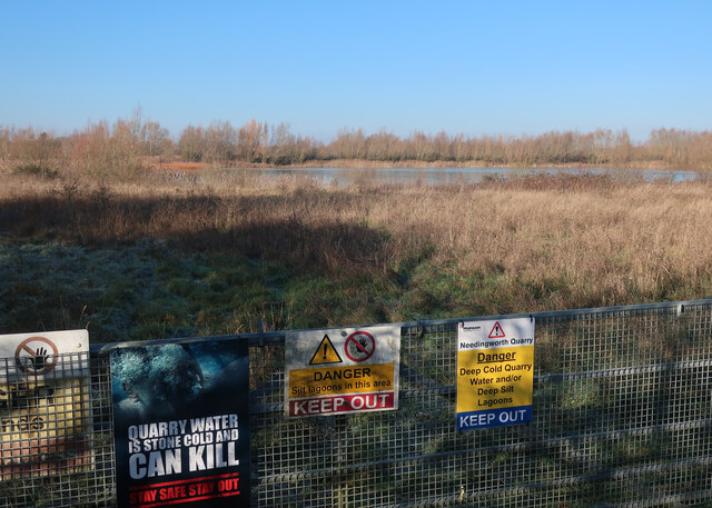
Engineers Wood is a picturesque woodland located in Huntingdonshire, a district in the county of Cambridgeshire, England. Covering an area of approximately 100 acres, the wood is known for its diverse range of plant and animal species, making it a popular destination for nature enthusiasts and wildlife lovers.
The wood is predominantly composed of broadleaved trees, including oak, ash, beech, and birch, which create a vibrant and colorful canopy during the warmer months. The forest floor is covered in a thick carpet of ferns, bluebells, and wildflowers, adding to the natural beauty of the area.
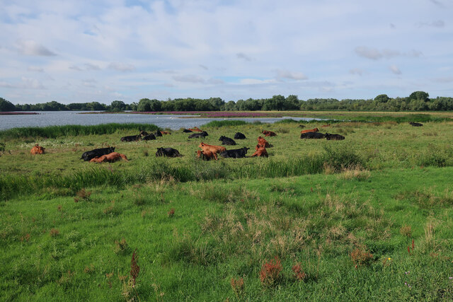
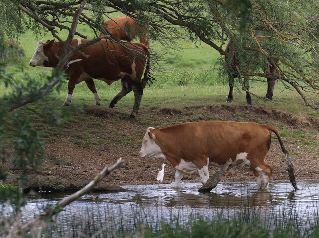
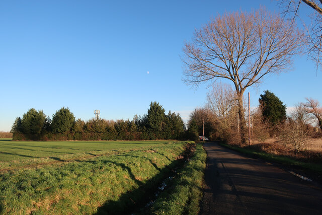
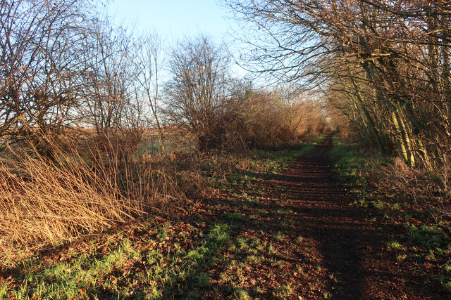
Several walking trails wind through Engineers Wood, allowing visitors to explore its hidden corners and discover its hidden gems. These trails offer an opportunity to observe the abundant wildlife that calls the woodland home, including deer, foxes, rabbits, and a variety of bird species.
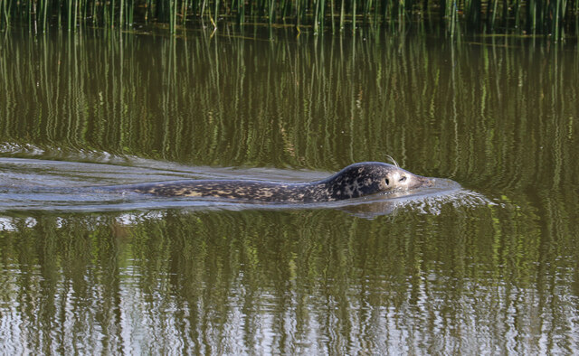
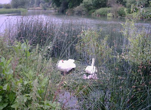
The wood is also home to a small pond, attracting a wide range of aquatic creatures and providing a peaceful spot for visitors to relax and enjoy the tranquility of the surroundings. It is not uncommon to spot dragonflies, frogs, and even the occasional newt in and around the pond.
Engineers Wood is a haven for outdoor activities such as birdwatching, nature photography, and walking. Its natural and untouched character makes it a valuable ecological resource and a place of great beauty for locals and tourists alike.
If you have any feedback on the listing, please let us know in the comments section below.
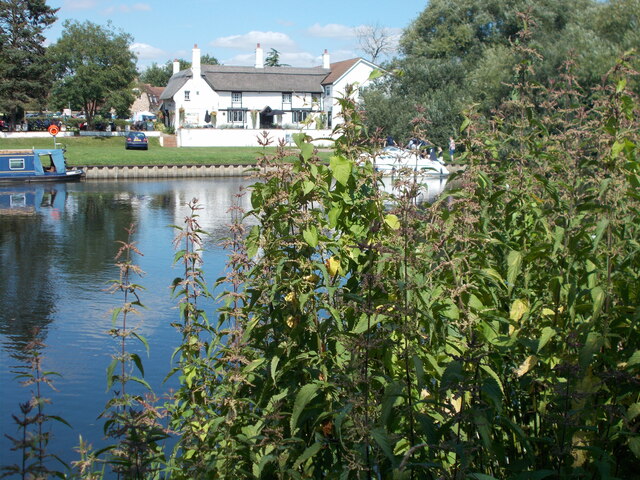
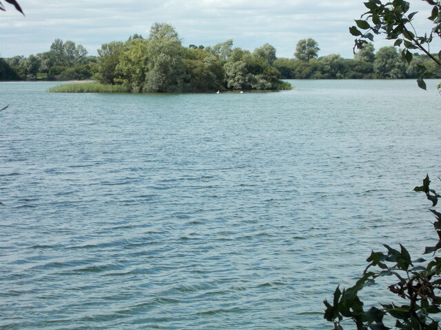
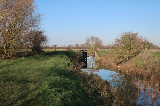
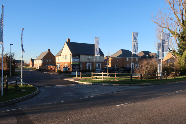
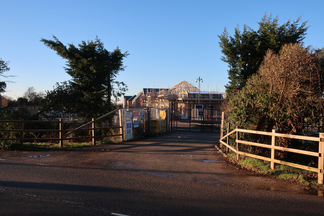
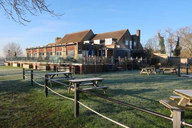
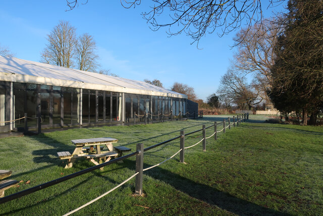
Engineers Wood Images
Images are sourced within 2km of 52.323984/-0.033556035 or Grid Reference TL3471. Thanks to Geograph Open Source API. All images are credited.

Engineers Wood is located at Grid Ref: TL3471 (Lat: 52.323984, Lng: -0.033556035)
Administrative County: Cambridgeshire
District: Huntingdonshire
Police Authority: Cambridgeshire
What 3 Words
///rushed.idealist.plus. Near Needingworth, Cambridgeshire
Nearby Locations
Related Wikis

Holywell, Cambridgeshire
Holywell is a village in Cambridgeshire, England, approximately 6 miles (10 km) east of Huntingdon, in the civil parish of Holywell-cum-Needingworth. It...
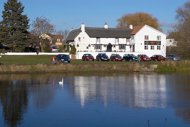
The Old Ferry Boat Inn
The Old Ferry Boat Inn is a pub in Holywell, Huntingdonshire, Cambridgeshire, England. It is situated on the banks of the River Great Ouse.The Old Ferry...
Needingworth
Needingworth is a village in Cambridgeshire, England. Needingworth lies approximately 7 miles (11 km) east of Huntingdon and just west of the Prime Meridian...
Ouse Valley Way
The Ouse Valley Way is a 150-mile (240 km) footpath in England, following the River Great Ouse from its source near Syresham in Northamptonshire to its...
Nearby Amenities
Located within 500m of 52.323984,-0.033556035Have you been to Engineers Wood?
Leave your review of Engineers Wood below (or comments, questions and feedback).