Needingworth Copse
Wood, Forest in Huntingdonshire Huntingdonshire
England
Needingworth Copse
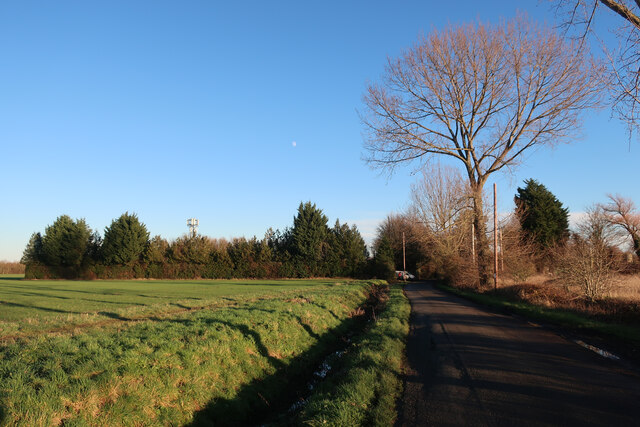
Needingworth Copse is a picturesque woodland located in Huntingdonshire, a historic county in England. Spanning over a vast area, this copse is known for its dense forestation and diverse wildlife. The copse is situated near the village of Needingworth, providing a serene and tranquil atmosphere for visitors to enjoy.
The copse is predominantly composed of various species of trees, including oak, beech, and ash, which create a dense canopy that filters sunlight, casting beautiful patterns on the forest floor. The woodland is also home to an array of shrubs, ferns, and wildflowers, adding to the copse's natural beauty.
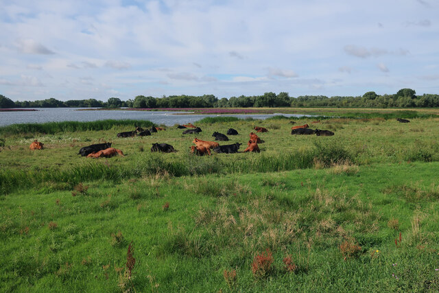
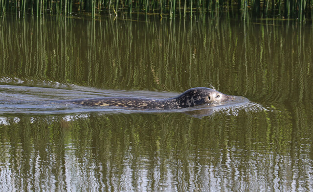
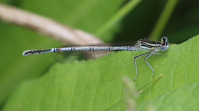
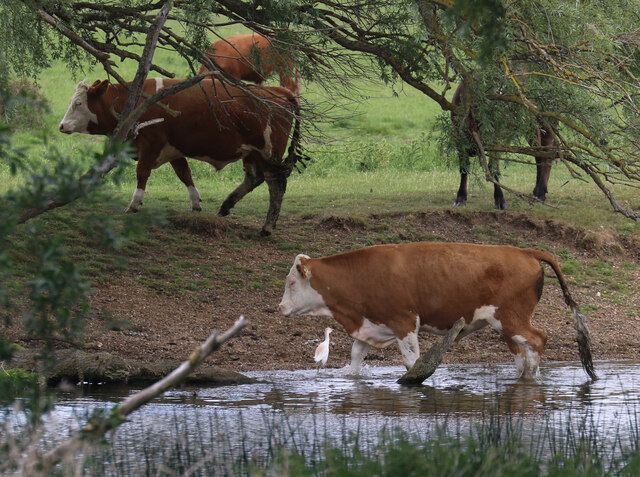
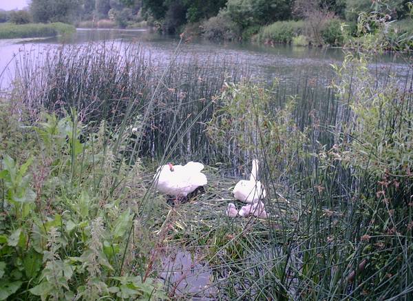
Needingworth Copse is a haven for wildlife enthusiasts as it provides a habitat for a wide range of animals. Visitors may spot native species such as deer, foxes, badgers, and rabbits, as well as a variety of bird species including woodpeckers, owls, and warblers. The copse is particularly renowned for its diverse bird population, making it a popular destination for birdwatchers.
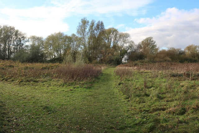
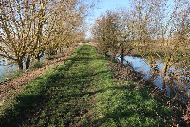
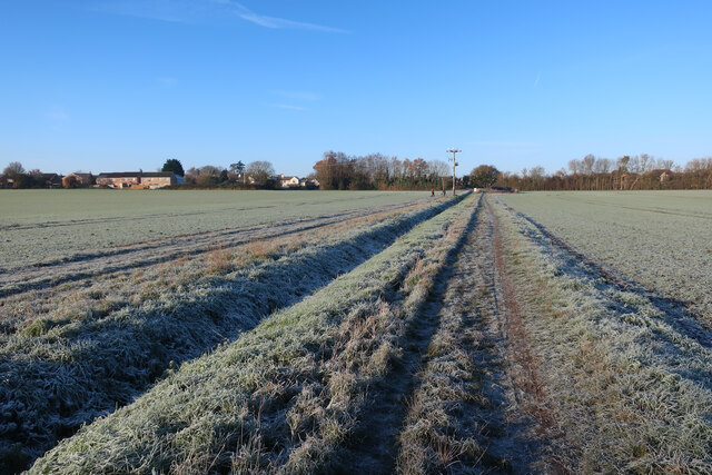
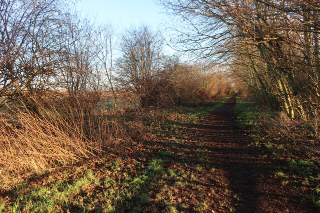
The copse offers numerous walking trails that wind through the woodland, allowing visitors to explore its many hidden gems. These paths offer the opportunity to immerse oneself in nature, with the sounds of birdsong and the rustle of leaves providing a soothing soundtrack.
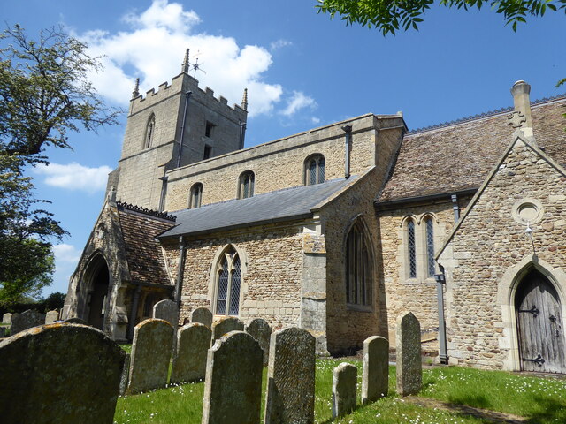
Needingworth Copse is not only a natural treasure but also a historical one. It has been protected and preserved for future generations to enjoy, and its beauty and ecological significance make it a must-visit destination for nature lovers and those seeking a peaceful retreat in the heart of Huntingdonshire.
If you have any feedback on the listing, please let us know in the comments section below.
Needingworth Copse Images
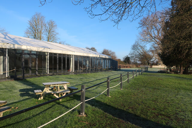
Images are sourced within 2km of 52.324357/-0.030076271 or Grid Reference TL3471. Thanks to Geograph Open Source API. All images are credited.

Needingworth Copse is located at Grid Ref: TL3471 (Lat: 52.324357, Lng: -0.030076271)
Administrative County: Cambridgeshire
District: Huntingdonshire
Police Authority: Cambridgeshire
What 3 Words
///ducks.bunkers.opened. Near Needingworth, Cambridgeshire
Nearby Locations
Related Wikis

Holywell, Cambridgeshire
Holywell is a village in Cambridgeshire, England, approximately 6 miles (10 km) east of Huntingdon, in the civil parish of Holywell-cum-Needingworth. It...
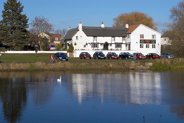
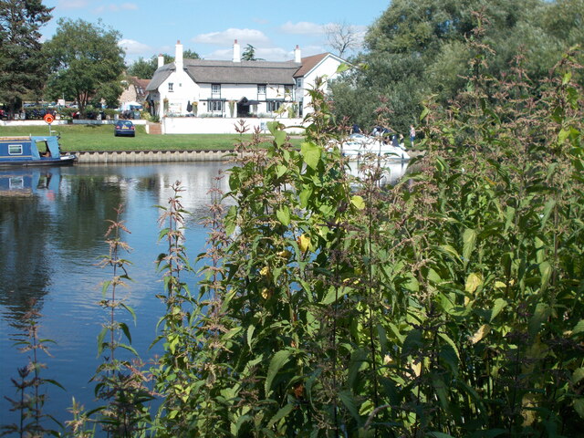
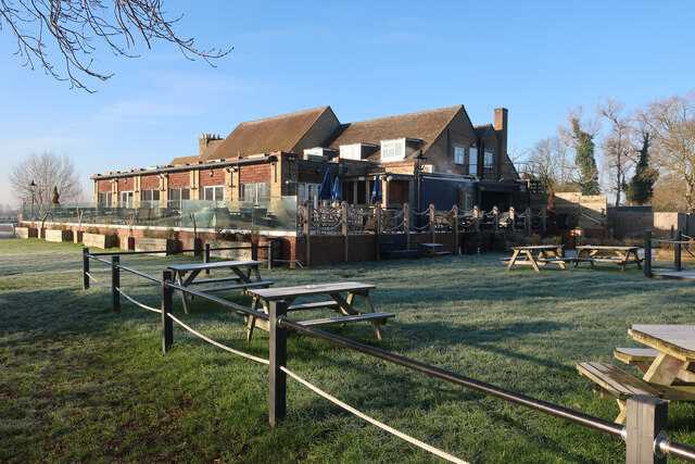
The Old Ferry Boat Inn
The Old Ferry Boat Inn is a pub in Holywell, Huntingdonshire, Cambridgeshire, England. It is situated on the banks of the River Great Ouse.The Old Ferry...
Needingworth
Needingworth is a village in Cambridgeshire, England. Needingworth lies approximately 7 miles (11 km) east of Huntingdon and just west of the Prime Meridian...
Ouse Valley Way
The Ouse Valley Way is a 150-mile (240 km) footpath in England, following the River Great Ouse from its source near Syresham in Northamptonshire to its...
Nearby Amenities
Located within 500m of 52.324357,-0.030076271Have you been to Needingworth Copse?
Leave your review of Needingworth Copse below (or comments, questions and feedback).