Little Fern Hill

Hill, Mountain in Huntingdonshire Huntingdonshire

England

Little Fern Hill

Long Drove, Pidley Fen This track leads to farmland at Pidley Fen and to Fen House.
Long Drove, Pidley Fen Credit: Bob Jones

Little Fern Hill is a small hill located in the Huntingdonshire district of Cambridgeshire, England. It is part of the larger Fern Hill range, which is known for its picturesque views and scenic walking trails. Little Fern Hill stands at approximately 200 meters above sea level, making it a popular destination for hikers and nature enthusiasts looking to explore the surrounding countryside.

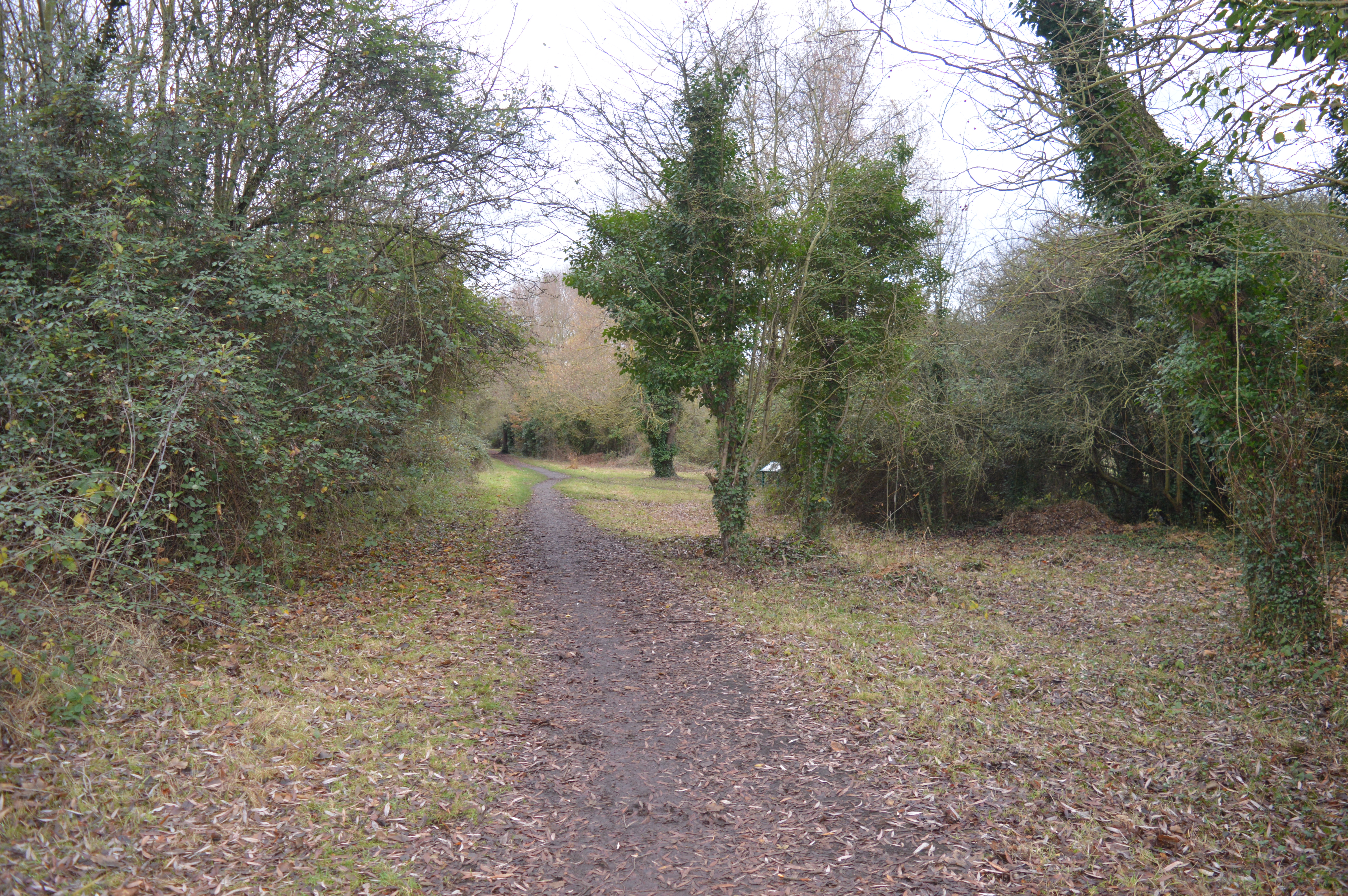
The hill is covered in lush greenery, including ferns, heather, and wildflowers, giving it a tranquil and idyllic atmosphere. Visitors to Little Fern Hill can enjoy panoramic views of the rolling countryside and nearby villages, providing a peaceful retreat from the hustle and bustle of everyday life.

The area around Little Fern Hill is also rich in wildlife, with various bird species and small mammals calling the hill home. Nature lovers can spot deer, rabbits, and a variety of bird species while exploring the hill and its surrounding woodland.

Overall, Little Fern Hill offers a serene and picturesque setting for outdoor enthusiasts to enjoy the natural beauty of the Huntingdonshire countryside.

If you have any feedback on the listing, please let us know in the comments section below.

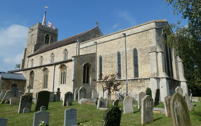
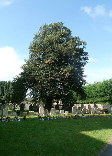
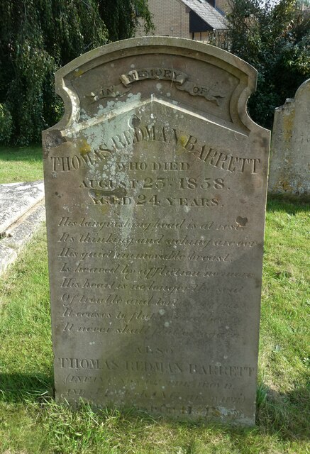
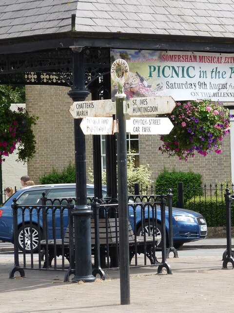
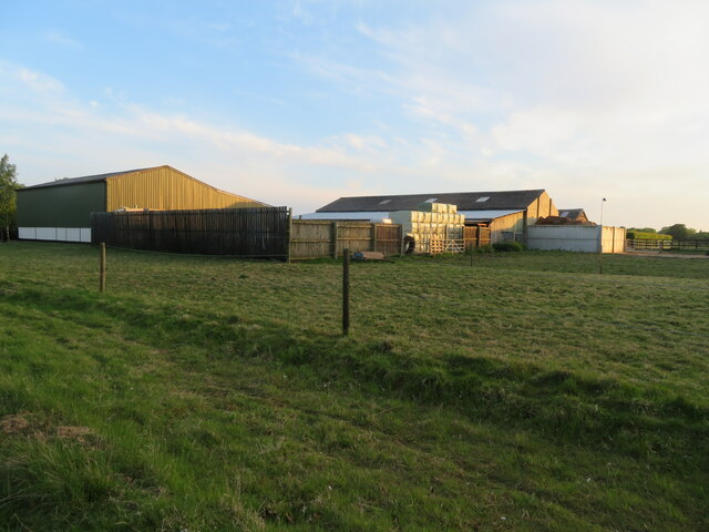
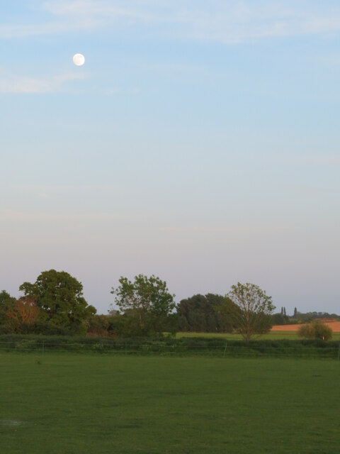
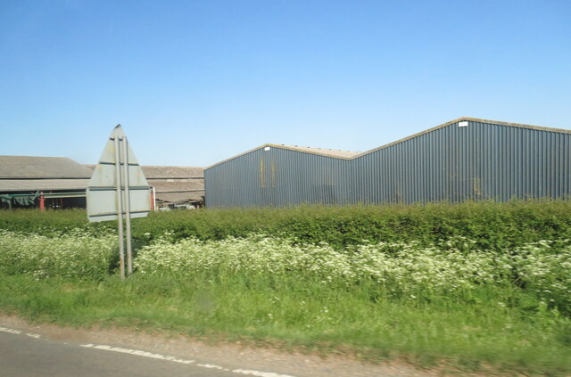
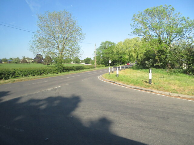
Little Fern Hill Images

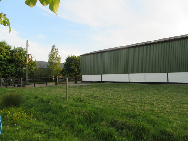
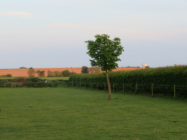
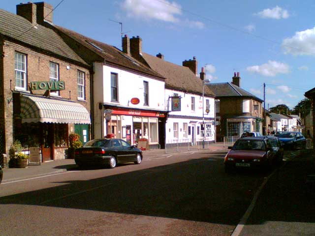
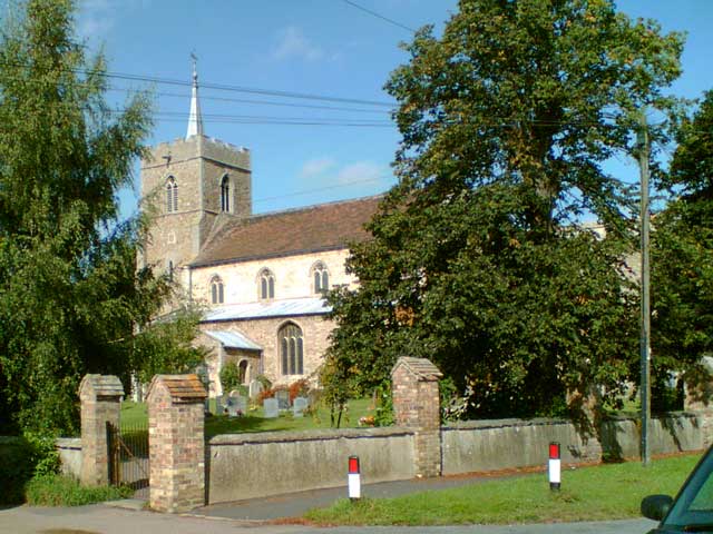
Images are sourced within 2km of 52.387428/-0.02707824 or Grid Reference TL3478. Thanks to Geograph Open Source API. All images are credited.

Long Drove, Pidley Fen This track leads to farmland at Pidley Fen and to Fen House.
Long Drove, Pidley Fen
This track leads to farmland at Pidley Fen and to Fen House.
St John the Baptist, Somersham: late September 2021
St John the Baptist, Somersham: churchyard
St John the Baptist, Somersham: gravestone
Direction Sign – Signpost on the B1086 High Street in Somersham Located on an island on the southeast side of the crossroads of the B1086 High Street, Church Street and Parkhall Road in Somersham parish. 4 arms and annulus finial. 

Milestone Society National ID: HU_TL3677
Direction Sign – Signpost on the B1086 High Street in Somersham
Located on an island on the southeast side of the crossroads of the B1086 High Street, Church Street and Parkhall Road in Somersham parish. 4 arms and annulus finial. Milestone Society National ID: HU_TL3677
Somersham, West End Farm buildings and pasture.
Somersham, West End
Farm buildings and pasture.
Full moon at Somersham Looking south from Heath View Close.
Full moon at Somersham
Looking south from Heath View Close.
Buildings at Park Farm On the B1086 south of Somersham.
Buildings at Park Farm
On the B1086 south of Somersham.
Course of old railway Looking NW along the old Great Eastern Railway, Somersham to Warboys and Ramsey.
The line opened in 1848. Now a golf course but this section is used as the Rothschild Way and Pathfinder Way long distance paths.
See also <a href="https://www.geograph.org.uk/photo/4703849">TL3678 : Flooded former railway cutting in Somersham, Cambridgeshire</a> <a href="https://www.geograph.org.uk/photo/4187981">TL3678 : Course of former railway, Somersham, Hunts</a>
Course of old railway
Looking NW along the old Great Eastern Railway, Somersham to Warboys and Ramsey. The line opened in 1848. Now a golf course but this section is used as the Rothschild Way and Pathfinder Way long distance paths. See also TL3678 : Flooded former railway cutting in Somersham, Cambridgeshire TL3678 : Course of former railway, Somersham, Hunts
The B1089 meets the B1086 west of Somersham Rural road junction.
The B1089 meets the B1086 west of Somersham
Rural road junction.
Farm barn, near Somersham Off Heath View Close.
Farm barn, near Somersham
Off Heath View Close.
Farmland at Somersham Looking south from Heath View Close. Note two water towers on the right in the distance at Bluntisham in <a href="https://www.geograph.org.uk/gridref/TL3675">TL3675</a>.
Farmland at Somersham
Looking south from Heath View Close. Note two water towers on the right in the distance at Bluntisham in TL3675.
High Street, Somersham View looking east along Somersham High Street towards the junction with Church Street.
High Street, Somersham
View looking east along Somersham High Street towards the junction with Church Street.
St John The Baptist Church, Somersham View of the church from Church Street.
St John The Baptist Church, Somersham
View of the church from Church Street.
Pidley Church Sunset Beautiful "fenland" sunset, taken from behind the church in Pidley
Pidley Church Sunset
Beautiful "fenland" sunset, taken from behind the church in Pidley
All Saints, Pidley Pidley has a beautiful church.  Pidley also has the Pidley Mountain Rescue Team!  In the midst of the flattest landscape in the UK, this charitable team is a major fund raiser for charity.
All Saints, Pidley
Pidley has a beautiful church. Pidley also has the Pidley Mountain Rescue Team! In the midst of the flattest landscape in the UK, this charitable team is a major fund raiser for charity.
The Mad Cat Inn at Pidley
Somersham Victory Hall
Show me another place!

Little Fern Hill is located at Grid Ref: TL3478 (Lat: 52.387428, Lng: -0.02707824)

Administrative County: Cambridgeshire

District: Huntingdonshire

Police Authority: Cambridgeshire

What 3 Words

///altering.polices.little. Near Somersham, Cambridgeshire

Related Wikis

Somersham Town F.C.

Somersham Town Football Club is a football club based in Somersham, near St Ives in Cambridgeshire, England. They club are members of the Cambridgeshire...

Pidley

Pidley is a small village in Cambridgeshire, England. Pidley lies approximately 7 miles (11 km) north-east of Huntingdon. Together with the neighbouring...

Somersham

Somersham is a village and civil parish in Cambridgeshire, England. Somersham lies approximately 9 miles (14 km) east of Huntingdon and 4 miles (6 km)...

Somersham Local Nature Reserve

Somersham Local Nature Reserve is an 8.9 hectare Local Nature Reserve in Somersham in Cambridgeshire. It is owned and managed by Cambridgeshire County...

Nearby Amenities

Located within 500m of 52.387428,-0.02707824
Power: pole
Lat/Long: 52.3833765/-0.0267176
Power: pole
Lat/Long: 52.3835074/-0.0281231
Power: pole
Lat/Long: 52.3836515/-0.0296815
The data included in this document is from www.openstreetmap.org. The data is made available under ODbL.

Have you been to Little Fern Hill?

Leave your review of Little Fern Hill below (or comments, questions and feedback).