Four Acre Covert
Wood, Forest in Cambridgeshire South Cambridgeshire
England
Four Acre Covert

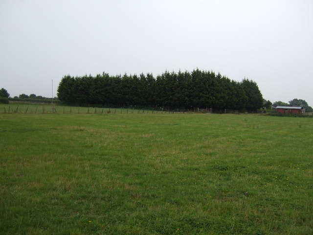
Four Acre Covert is a picturesque woodland located in Cambridgeshire, England. Spanning approximately four acres, this small but dense forest is a haven for nature enthusiasts and those seeking a tranquil escape from the bustle of city life.
The woodland is characterized by a rich variety of trees, including oak, beech, and ash, which create a lush canopy overhead. These towering trees provide a cool and shaded environment, even on hot summer days. The forest floor is covered in a thick layer of leaf litter, creating a soft carpet underfoot.
Four Acre Covert is home to a diverse range of wildlife, making it an ideal spot for birdwatchers and wildlife enthusiasts. Visitors may catch glimpses of common woodland birds such as robins, blackbirds, and woodpeckers, as well as rarer species like tawny owls and nuthatches. Squirrels scamper through the treetops, while foxes and badgers leave their tracks in the undergrowth.
The woodland also features several well-maintained pathways, allowing visitors to explore its beauty at their own pace. These winding trails lead to hidden clearings and offer breathtaking views of the surrounding countryside.
Four Acre Covert is a popular destination for both locals and tourists looking to reconnect with nature. Whether it's a leisurely stroll, a picnic, or simply a moment of solitude, this charming woodland provides a serene and idyllic setting for all who visit.
If you have any feedback on the listing, please let us know in the comments section below.
Four Acre Covert Images
Images are sourced within 2km of 52.134047/-0.041814969 or Grid Reference TL3450. Thanks to Geograph Open Source API. All images are credited.


Four Acre Covert is located at Grid Ref: TL3450 (Lat: 52.134047, Lng: -0.041814969)
Administrative County: Cambridgeshire
District: South Cambridgeshire
Police Authority: Cambridgeshire
What 3 Words
///salsa.being.caravans. Near Orwell, Cambridgeshire
Nearby Locations
Related Wikis
Wimpole
Wimpole is a small village and civil parish in South Cambridgeshire, England, about 8+1⁄2 miles (13.7 km) southwest of Cambridge. Until 1999, the main...

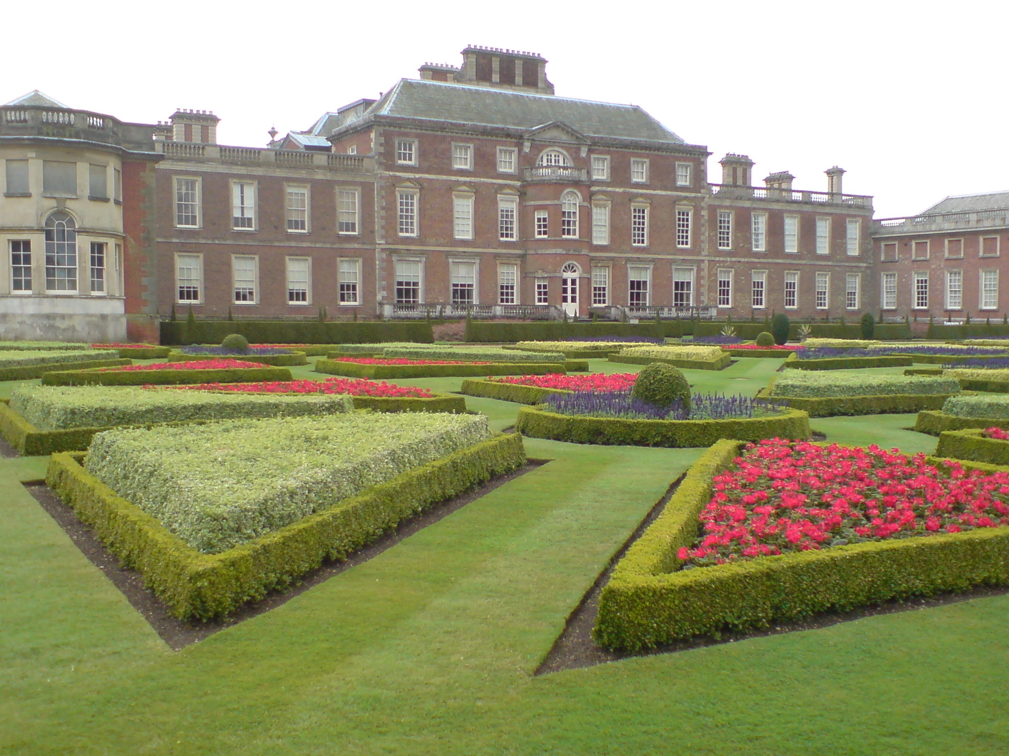
Wimpole Estate
Wimpole Estate is a large estate containing Wimpole Hall, a country house located within the civil parish of Wimpole, Cambridgeshire, England, about 8...
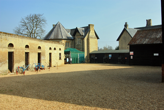
Wimpole Home Farm
Wimpole Home Farm is an 18th-century model farm on the Wimpole Estate, Arrington, Royston, in South Cambridgeshire, England, and operated by the National...
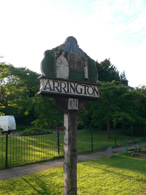
Arrington, Cambridgeshire
Arrington is a small village and civil parish in the South Cambridgeshire district of Cambridgeshire, England, with a population of 415 at the time of...
Orwell, Cambridgeshire
Orwell is a rural village outside Cambridge in South Cambridgeshire, England. The Prime Meridian passes the eastern edge of Orwell. == History == The village...
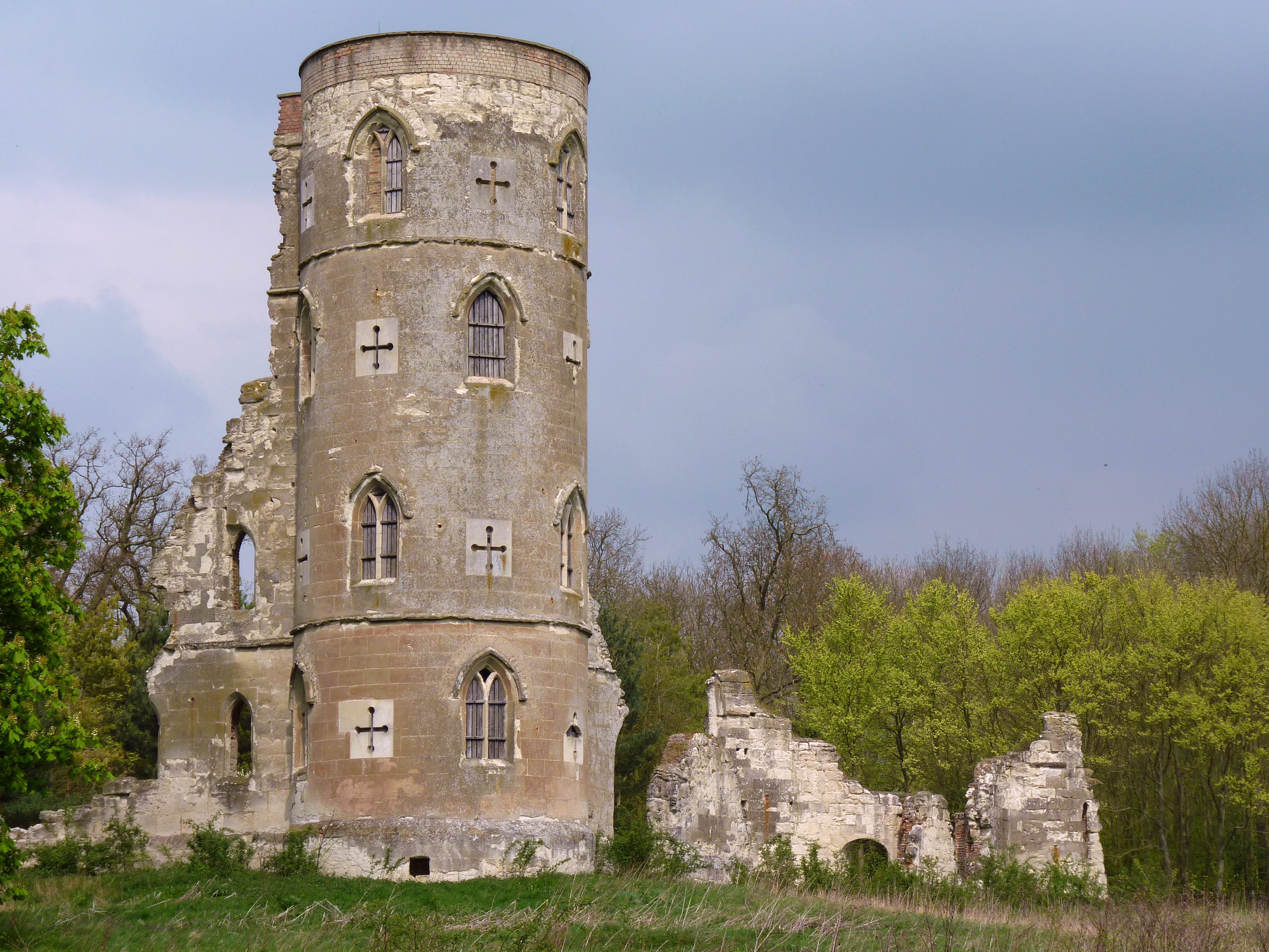
Wimpole's Folly
Wimpole's Folly is a folly ruin located in the grounds of Wimpole Hall, in the parish of Wimpole, in Cambridgeshire, England.The folly is designed to resemble...
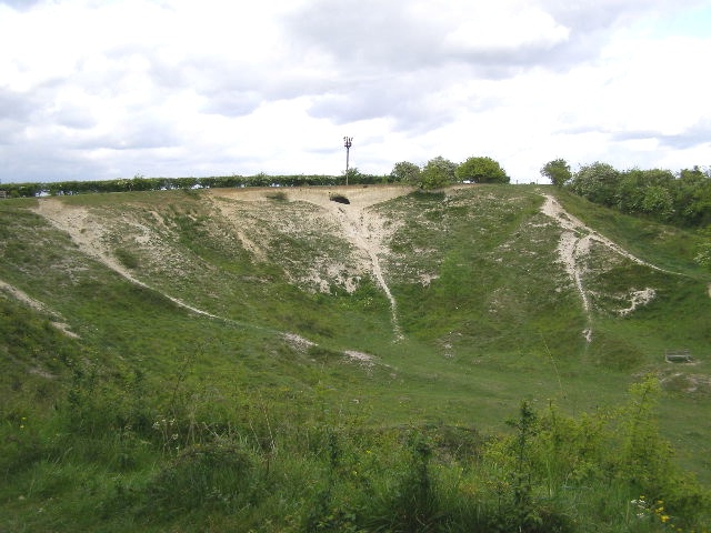
Orwell Clunch Pit
Orwell Clunch Pit is a 1.8-hectare (4.4-acre) biological Site of Special Scientific Interest on the northern outskirts of Orwell in Cambridgeshire. It...

Croydon, Cambridgeshire
Croydon is a small village and civil parish in South Cambridgeshire, England. It is 10 miles (16 km) south-west of Cambridge and immediately west of the...
Nearby Amenities
Located within 500m of 52.134047,-0.041814969Have you been to Four Acre Covert?
Leave your review of Four Acre Covert below (or comments, questions and feedback).