Lamp Hill
Hill, Mountain in Cambridgeshire South Cambridgeshire
England
Lamp Hill

Lamp Hill is a prominent geographic feature located in Cambridgeshire, England. While not classified as a hill or mountain in the traditional sense, it stands out from the otherwise flat landscape of the region, earning its name from the presence of a conspicuous lamppost at its peak.
Situated near the village of Barton, Lamp Hill offers panoramic views of the surrounding countryside, making it a popular destination for locals and visitors alike. The area is primarily rural, with vast stretches of farmland and meadows extending in all directions. The hill's elevation provides a unique vantage point to appreciate the picturesque beauty of the Cambridgeshire Fens.
The lamppost atop Lamp Hill adds a distinctive element to the landscape, serving as a beacon that can be seen from miles away. It has become somewhat of a local landmark, often referenced in navigation and orientation within the region. The lamppost itself is a simple, traditional design, providing a nostalgic touch to the otherwise untouched natural surroundings.
Nature enthusiasts are drawn to Lamp Hill due to its abundant wildlife, as the area is known to be a haven for various bird species. The hill's elevated position and lack of man-made structures make it an ideal habitat for birds to nest and forage. Additionally, wildflowers and other flora thrive in the area, adding to the hill's scenic allure.
Overall, Lamp Hill is a notable geographic feature in Cambridgeshire, offering stunning views, a distinct lamppost, and a haven for wildlife. Its unique position within the region's otherwise flat landscape makes it a must-visit location for those seeking a different perspective on the Cambridgeshire countryside.
If you have any feedback on the listing, please let us know in the comments section below.
Lamp Hill Images
Images are sourced within 2km of 52.13834/-0.042620357 or Grid Reference TL3450. Thanks to Geograph Open Source API. All images are credited.


Lamp Hill is located at Grid Ref: TL3450 (Lat: 52.13834, Lng: -0.042620357)
Administrative County: Cambridgeshire
District: South Cambridgeshire
Police Authority: Cambridgeshire
What 3 Words
///global.conjured.hang. Near Orwell, Cambridgeshire
Nearby Locations
Related Wikis
Wimpole
Wimpole is a small village and civil parish in South Cambridgeshire, England, about 8+1⁄2 miles (13.7 km) southwest of Cambridge. Until 1999, the main...

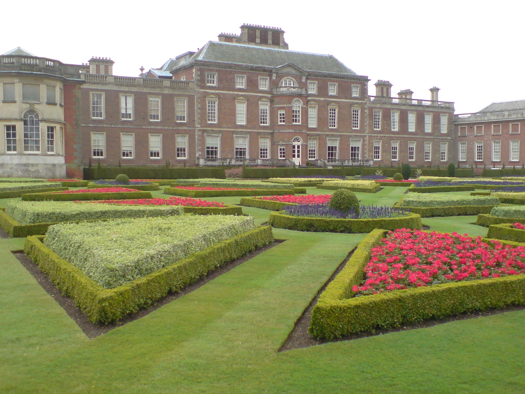
Wimpole Estate
Wimpole Estate is a large estate containing Wimpole Hall, a country house located within the civil parish of Wimpole, Cambridgeshire, England, about 8...
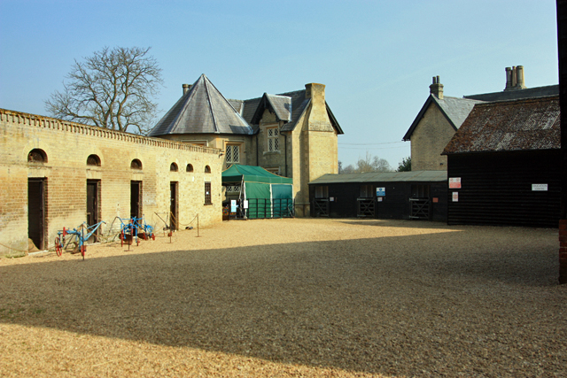
Wimpole Home Farm
Wimpole Home Farm is an 18th-century model farm on the Wimpole Estate, Arrington, Royston, in South Cambridgeshire, England, and operated by the National...
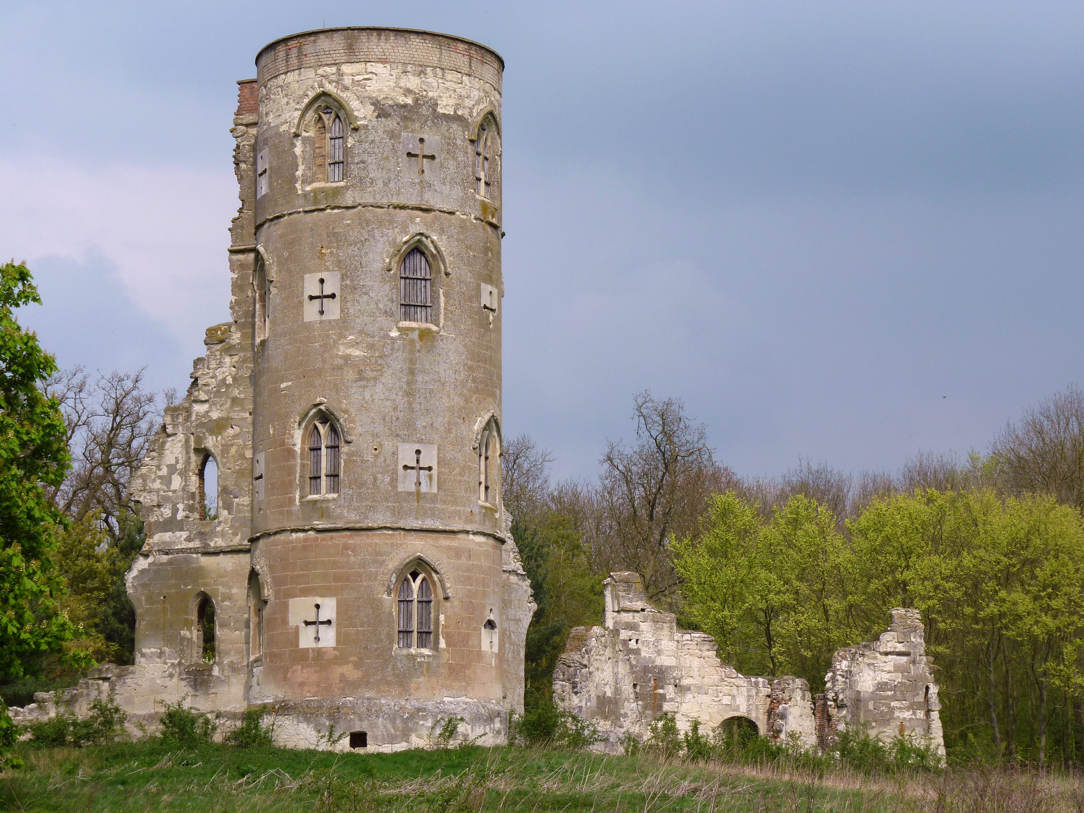
Wimpole's Folly
Wimpole's Folly is a folly ruin located in the grounds of Wimpole Hall, in the parish of Wimpole, in Cambridgeshire, England.The folly is designed to resemble...
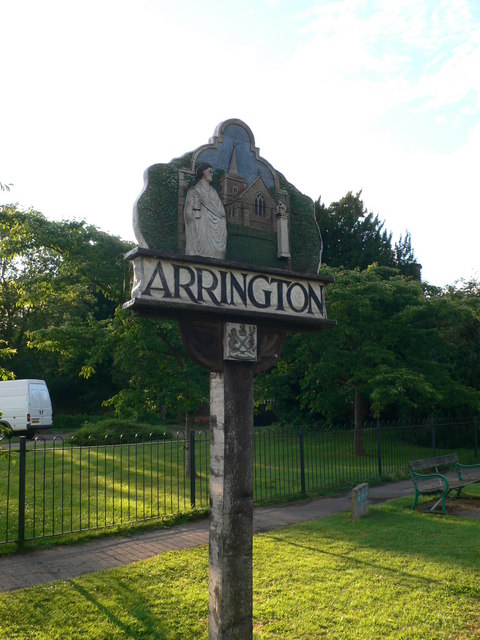
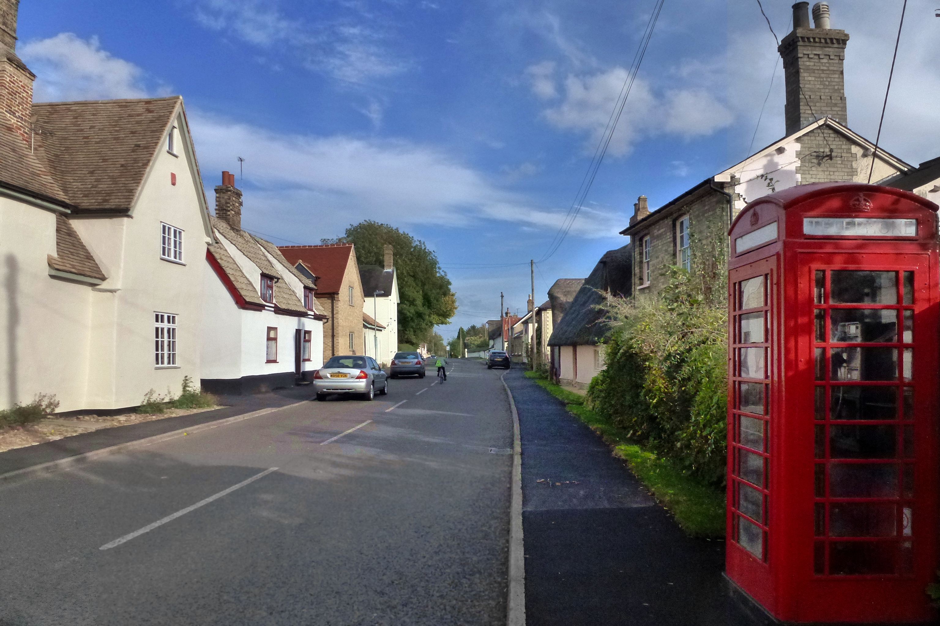
Arrington, Cambridgeshire
Arrington is a small village and civil parish in the South Cambridgeshire district of Cambridgeshire, England, with a population of 415 at the time of...
Orwell, Cambridgeshire
Orwell is a rural village outside Cambridge in South Cambridgeshire, England. The Prime Meridian passes the eastern edge of Orwell. == History == The village...
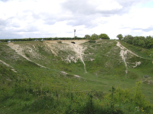
Orwell Clunch Pit
Orwell Clunch Pit is a 1.8-hectare (4.4-acre) biological Site of Special Scientific Interest on the northern outskirts of Orwell in Cambridgeshire. It...

Croydon, Cambridgeshire
Croydon is a small village and civil parish in South Cambridgeshire, England. It is 10 miles (16 km) south-west of Cambridge and immediately west of the...
Nearby Amenities
Located within 500m of 52.13834,-0.042620357Have you been to Lamp Hill?
Leave your review of Lamp Hill below (or comments, questions and feedback).