Anscombe Wood
Wood, Forest in Sussex Mid Sussex
England
Anscombe Wood
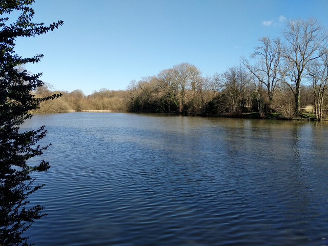
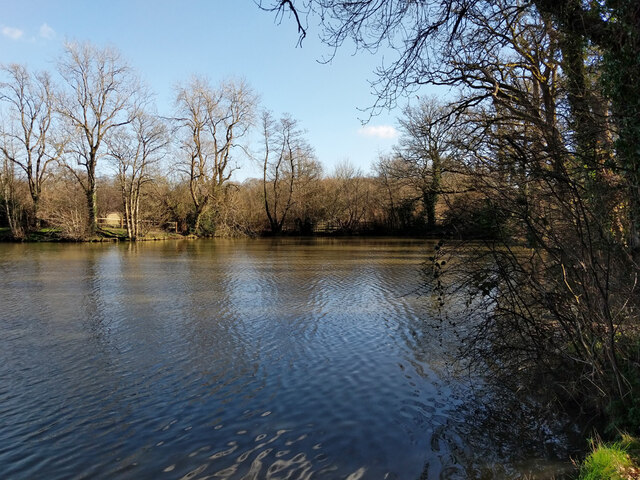
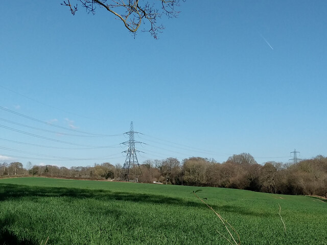
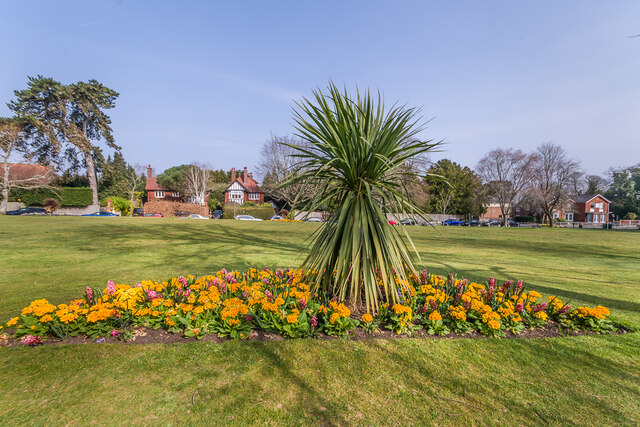
Anscombe Wood is a picturesque forest located in Sussex, England. Spanning over a vast area, it is known for its natural beauty and diverse ecosystem. The wood is situated in a rural setting, surrounded by rolling hills and farmland, allowing visitors to experience the tranquility of nature.
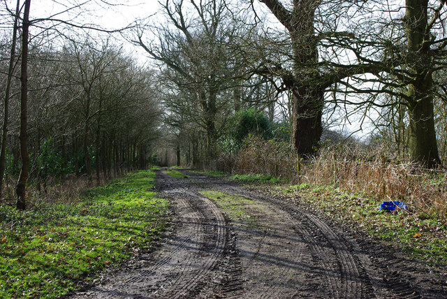
As one enters Anscombe Wood, they are greeted by a dense canopy of trees, predominantly consisting of oak, beech, and ash. The towering trees create an enchanting atmosphere, providing shade and shelter for a variety of wildlife. The forest floor is covered in a carpet of moss, ferns, and wildflowers, offering a vibrant display of colors throughout the seasons.
The wood is home to a wide range of wildlife, including deer, foxes, badgers, and a plethora of bird species. Birdwatchers can spot woodpeckers, owls, and various songbirds in the treetops. The tranquility of the forest is occasionally interrupted by the melodic calls of these feathered inhabitants.
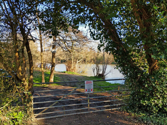
Several well-maintained trails wind through Anscombe Wood, allowing visitors to explore its enchanting scenery. The trails offer a mix of easy and moderate walks, catering to individuals of different fitness levels. Along the way, there are designated picnic spots and benches, perfect for taking a break and enjoying a packed lunch amidst the serene surroundings.
Anscombe Wood is not only a haven for nature enthusiasts but also a valuable resource for local communities. The wood provides a sustainable source of timber and supports the local economy through responsible forestry practices. It also serves as a vital carbon sink, contributing to efforts in combating climate change.
Overall, Anscombe Wood is a treasure trove of natural beauty, offering a sanctuary for both wildlife and visitors alike. Its lush vegetation, abundant wildlife, and peaceful ambiance make it a perfect destination for those seeking solace in nature.
If you have any feedback on the listing, please let us know in the comments section below.
Anscombe Wood Images
Images are sourced within 2km of 50.986269/-0.099855614 or Grid Reference TQ3322. Thanks to Geograph Open Source API. All images are credited.


Anscombe Wood is located at Grid Ref: TQ3322 (Lat: 50.986269, Lng: -0.099855614)
Administrative County: West Sussex
District: Mid Sussex
Police Authority: Sussex
What 3 Words
///intelligible.moral.zones. Near Haywards Heath, West Sussex
Nearby Locations
Related Wikis

St Francis Rangers F.C.
St Francis Rangers F.C. is a football club based in Haywards Heath, England. They are currently members of the Southern Combination Division Two and play...

St Francis Hospital, Haywards Heath
St Francis Hospital was a mental health facility in Haywards Heath, West Sussex, England. The main building survives and is a Grade II listed building...

Jireh Chapel, Haywards Heath
The Jireh Chapel is a Strict Baptist place of worship in the town of Haywards Heath in the English county of West Sussex. The chapel was built in 1879...
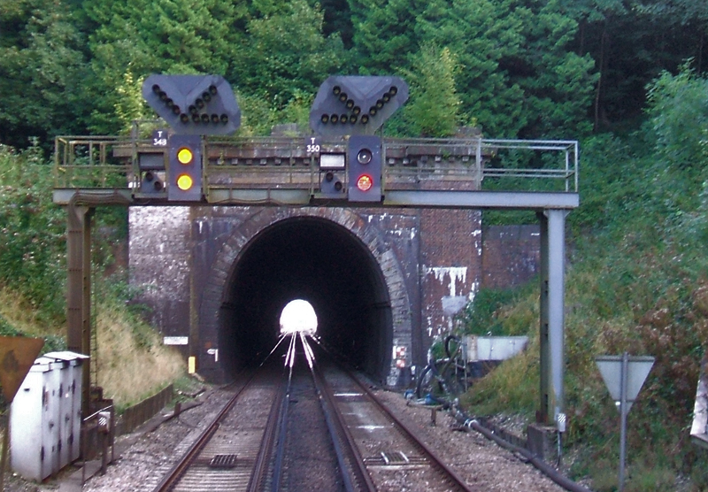
Haywards Heath Tunnel
Haywards Heath tunnel, also known as Folly Hill tunnel, is a railway tunnel on the Brighton Main Line between Haywards Heath and Wivelsfield. It is 249...

Princess Royal Hospital, Haywards Heath
The Princess Royal Hospital, also known as PRH, is an acute, teaching, general hospital located in Haywards Heath, West Sussex, England. It is the main...

Haywards Heath East (electoral division)
Haywards Heath East is an electoral division of West Sussex in the United Kingdom, and returns one member to sit on West Sussex County Council. == Extent... ==

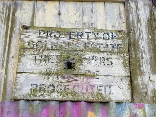
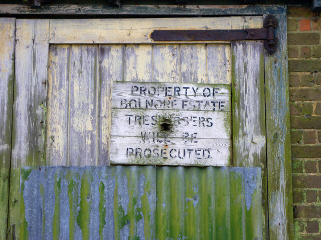
Ashenground and Bolnore Woods
Ashenground and Bolnore Woods is a 14.4-hectare (36-acre) Local Nature Reserve in Haywards Heath in West Sussex. It is owned and managed by Mid Sussex...

St Wilfrid's Church, Haywards Heath
St Wilfrid's Church is an Anglican church in the town of Haywards Heath in the district of Mid Sussex, one of seven local government districts in the English...
Related Videos

Walking thru Clair Park at Hayward Heath Center@hengichronicles7338
A very nice day, while we walking to the town center and Clair Park, we found a beautiful tree bearing hundreds of Red Cherries.

Walking the Best Kept Village in Sussex - Lindfield, UK Travel Vlog
Follow us as we walk around the winners of the best kept village in Sussex. We started off at Lindfield common, a historic common ...


An Afternoon at Wakehurst | Walk With Us | Davets Life
Last November 2020, David and I went to Wakehurst Botanical garden at Haywards Heath. Music by Fiji Blue - Butterflies ...
Nearby Amenities
Located within 500m of 50.986269,-0.099855614Have you been to Anscombe Wood?
Leave your review of Anscombe Wood below (or comments, questions and feedback).