Fox Hill

Settlement in Sussex Mid Sussex

England

Fox Hill

Spillways, Valebridge Pond On the eastern branch of the River Adur.
Spillways, Valebridge Pond Credit: Robin Webster

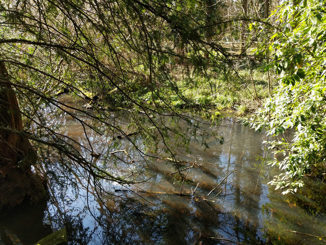
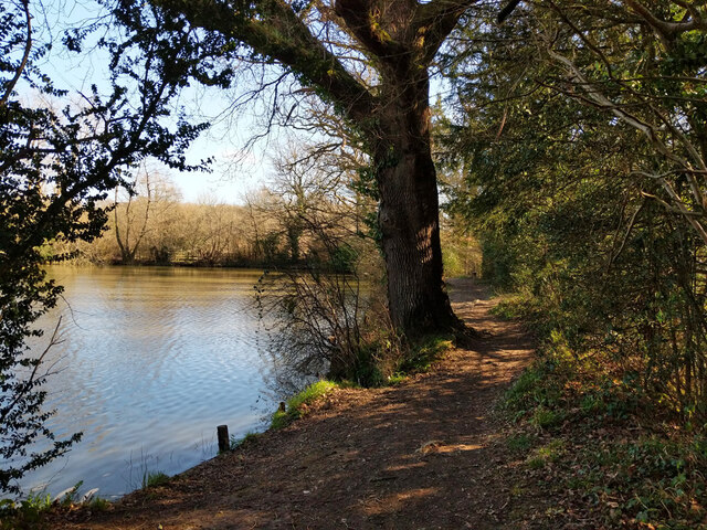
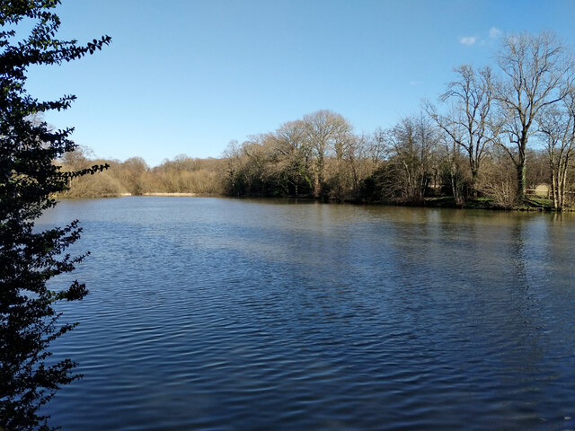
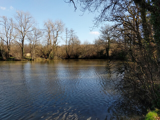
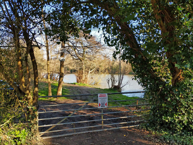
Fox Hill is a charming residential area located in Sussex, England. Situated on the outskirts of the picturesque town of East Grinstead, Fox Hill boasts a tranquil and idyllic setting, surrounded by beautiful countryside and rolling hills. This quaint neighborhood offers a peaceful retreat from the hustle and bustle of city life, making it a highly sought-after place to live.

The area is well-known for its traditional English architecture, with a mix of detached houses, cottages, and bungalows that exude character and charm. Many properties in Fox Hill offer stunning panoramic views of the surrounding countryside, providing residents with a sense of serenity and natural beauty.

Despite its peaceful atmosphere, Fox Hill is conveniently located near various amenities. The nearby town of East Grinstead offers a range of shops, restaurants, and cafes, along with excellent transport links, including a train station with direct connections to London and other major cities.

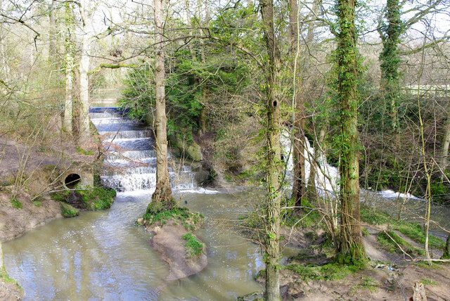
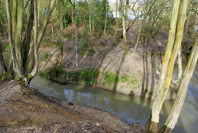
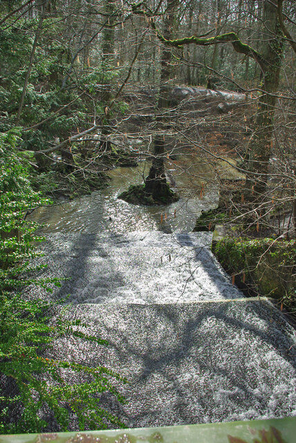
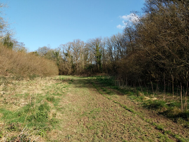
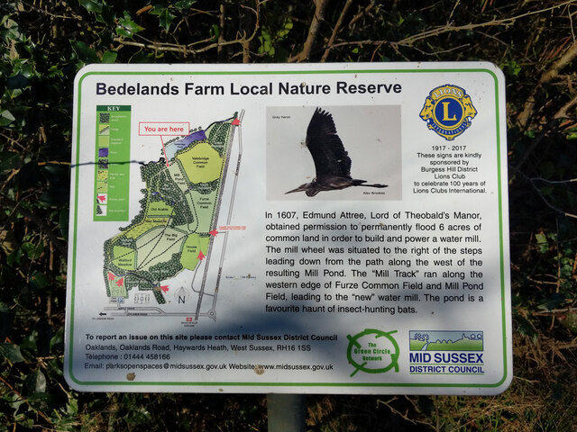
In addition to its picturesque surroundings, Fox Hill offers residents access to a range of recreational activities. The nearby Ashdown Forest, a designated Area of Outstanding Natural Beauty, provides ample opportunities for walking, hiking, and exploring the great outdoors. The area is also home to several golf courses, tennis clubs, and equestrian centers, catering to the interests of sports enthusiasts.

Overall, Fox Hill in Sussex provides a peaceful and scenic place to reside, with its charming architecture, stunning views, and proximity to both nature and amenities.

If you have any feedback on the listing, please let us know in the comments section below.
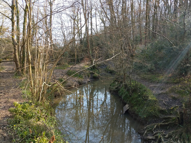
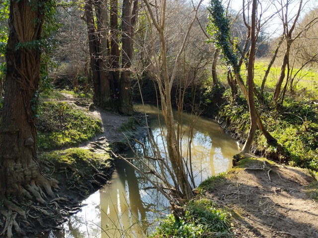
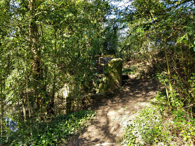
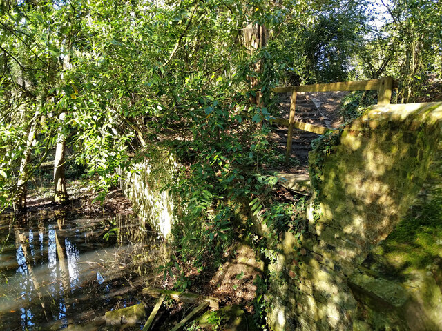
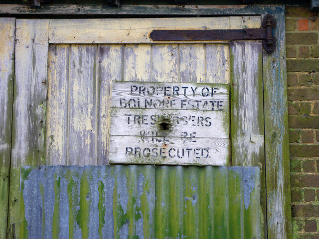
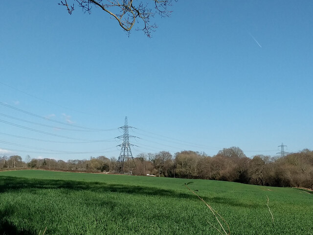
Fox Hill Images

Images are sourced within 2km of 50.984306/-0.099152149 or Grid Reference TQ3322. Thanks to Geograph Open Source API. All images are credited.

Spillways, Valebridge Pond On the eastern branch of the River Adur.
Spillways, Valebridge Pond
On the eastern branch of the River Adur.
Blue rope hanging over River Adur Standard equipment for such places.
Blue rope hanging over River Adur
Standard equipment for such places.
Spillway, Valebridge Pond On the eastern branch of the River Adur.
Spillway, Valebridge Pond
On the eastern branch of the River Adur.
Footpath 95CR towards Valebridge Pond
River Adur looking upstream Not far below Valebridge Pond.
River Adur looking upstream
Not far below Valebridge Pond.
River Adur looking downstream Not far below Valebridge Pond.
River Adur looking downstream
Not far below Valebridge Pond.
Footpath 95CR climbing pond bay by Valebridge Mill site There is quite a lot of masonry to the left of the path, rather hard to photograph, and that is nearly all that is left of the mill and its house beyond.
Footpath 95CR climbing pond bay by Valebridge Mill site
There is quite a lot of masonry to the left of the path, rather hard to photograph, and that is nearly all that is left of the mill and its house beyond.
Remains of Valebridge Mill Rather hard to photograph in bright dappled sunlight, there is a substantial masonry vertical rear face to the pond bay, but it is hard to work out how the mill fitted in, and all other traces visible are gone.
Remains of Valebridge Mill
Rather hard to photograph in bright dappled sunlight, there is a substantial masonry vertical rear face to the pond bay, but it is hard to work out how the mill fitted in, and all other traces visible are gone.
Tail race, former Valebridge Mill Mapped as having a sluice through the pond bay, but no mechanism was noted. The water probably largely comes from a drain from the north entering a short way below the pond bay.
Tail race, former Valebridge Mill
Mapped as having a sluice through the pond bay, but no mechanism was noted. The water probably largely comes from a drain from the north entering a short way below the pond bay.
Footpath 97CR by Valebridge Pond The path runs along the pond bay. For a brief account of the pond's origin, see <a href="https://www.geograph.org.uk/photo/7123567">TQ3121 : Informative board by Valebridge Pond</a>.
Footpath 97CR by Valebridge Pond
The path runs along the pond bay. For a brief account of the pond's origin, see TQ3121 : Informative board by Valebridge Pond.
Valebridge Pond For a brief account of the pond's origin, see <a href="https://www.geograph.org.uk/photo/7123567">TQ3121 : Informative board by Valebridge Pond</a>.
Valebridge Pond
For a brief account of the pond's origin, see TQ3121 : Informative board by Valebridge Pond.
Informative board by Valebridge Pond
Valebridge Pond For a brief account of the pond's origin, see <a href="https://www.geograph.org.uk/photo/7123567">TQ3121 : Informative board by Valebridge Pond</a>.
Valebridge Pond
For a brief account of the pond's origin, see TQ3121 : Informative board by Valebridge Pond.
Gate to north side of Valebridge Pond This side of the pond is private, the preserve of a local angling society.
Gate to north side of Valebridge Pond
This side of the pond is private, the preserve of a local angling society.
Shed by site of Valebridge Mill For a view twelve years earlier, see <a href="https://www.geograph.org.uk/photo/7126311">TQ3121 : Shed by site of Valebridge Mill</a>.
Shed by site of Valebridge Mill
For a view twelve years earlier, see TQ3121 : Shed by site of Valebridge Mill.
Sign on shed by site of Valebridge Mill For the shed, see <a href="https://www.geograph.org.uk/photo/7124613">TQ3121 : Shed by site of Valebridge Mill</a>. For the sign twelve years earlier, see <a href="https://www.geograph.org.uk/photo/7124753">TQ3121 : Sign on shed by site of Valebridge Mill</a>.
Sign on shed by site of Valebridge Mill
For the shed, see TQ3121 : Shed by site of Valebridge Mill. For the sign twelve years earlier, see TQ3121 : Sign on shed by site of Valebridge Mill.
Sign on shed by site of Valebridge Mill For the sign twelve years later, see <a href="https://www.geograph.org.uk/photo/7124733">TQ3121 : Sign on shed by site of Valebridge Mill</a>.
Sign on shed by site of Valebridge Mill
For the sign twelve years later, see TQ3121 : Sign on shed by site of Valebridge Mill.
Field north of Valebridge Pond
Show me another place!

Fox Hill is located at Grid Ref: TQ3322 (Lat: 50.984306, Lng: -0.099152149)

Administrative County: West Sussex

District: Mid Sussex

Police Authority: Sussex

What 3 Words

///rider.dinner.harsh. Near Haywards Heath, West Sussex

Related Wikis

St Francis Rangers F.C.

St Francis Rangers F.C. is a football club based in Haywards Heath, England. They are currently members of the Southern Combination Division Two and play...

St Francis Hospital, Haywards Heath

St Francis Hospital was a mental health facility in Haywards Heath, West Sussex, England. The main building survives and is a Grade II listed building...

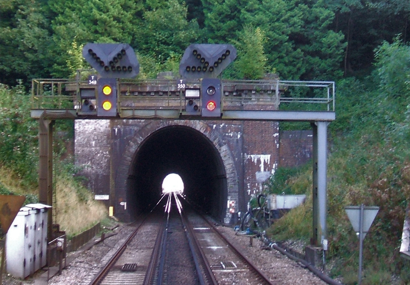
Haywards Heath Tunnel

Haywards Heath tunnel, is a railway tunnel on the Brighton Main Line between Haywards Heath and Wivelsfield. It is 264 yards (241 metres) long and is one...

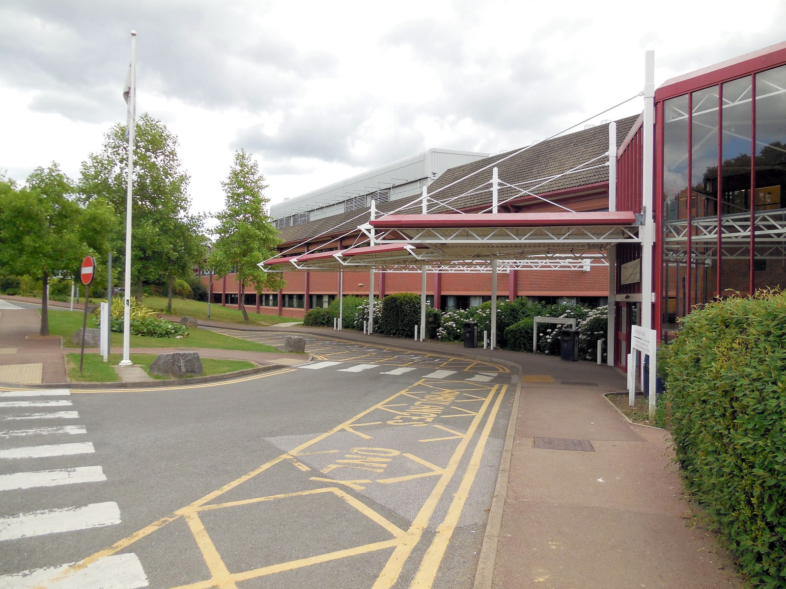
Princess Royal Hospital, Haywards Heath

The Princess Royal Hospital, also known as PRH, is an acute, teaching, general hospital located in Haywards Heath, West Sussex, England. It is the main...

Nearby Amenities

Located within 500m of 50.984306,-0.099152149
Post Box
Brand: Royal Mail
Brand Wikidata: Q638098
Brand Wikipedia: en:Royal Mail
Operator: Royal Mail
Operator Wikidata: Q638098
Post Box Type: wall
Ref: RH16 21
Royal Cypher: EIIR
Royal Cypher Wikidata: Q33102113
Lat/Long: 50.98177/-0.0970733
Turning Circle
Lat/Long: 50.9857985/-0.103596
Turning Loop
Lat/Long: 50.9831339/-0.0996035
Pub
Fox and Hounds
Brand: Ember Inns
Brand Wikidata: Q116272278
Contact Website: https://www.emberinns.co.uk/nationalsearch/southeast/the-fox-and-hounds-fox-hill
Lat/Long: 50.981142/-0.0966752
Bus Stop
Fox and Hounds
Bus: yes
Naptan AtcoCode: 4400EG0015
Naptan Bearing: S
Naptan CommonName: Fox and Hounds
Naptan Indicator: Outside Fox and Hounds PH
Naptan Landmark: Hurstwood Lane
Naptan NaptanCode: wsxampdp
Naptan Street: Fox Hill
Naptan Verified: yes
Public Transport: platform
Source: naptan_import
Lat/Long: 50.9813663/-0.0965663
Bus Stop
Weald Rise
Bus: yes
Naptan AtcoCode: 4400EG0016
Naptan Bearing: N
Naptan CommonName: Weald Rise
Naptan Indicator: adj Weald Rise
Naptan Landmark: Weald Rise
Naptan NaptanCode: wsxampdt
Naptan Street: Fox Hill
Naptan Verified: no
Public Transport: platform
Source: naptan_import
Lat/Long: 50.9840886/-0.0990675
Bus Stop
Rocky Lane
Bus: yes
Naptan AtcoCode: 4400EG0017
Naptan Bearing: S
Naptan CommonName: Rocky Lane
Naptan Indicator: opp Rocky Road
Naptan Landmark: Rocky Lane
Naptan NaptanCode: wsxampdw
Naptan Street: Fox Hill
Naptan Verified: no
Public Transport: platform
Shelter: no
Source: naptan_import
Lat/Long: 50.9880484/-0.1009584
Bus Stop
Rocky Lane
Bus: yes
Naptan AtcoCode: 4400EG0018
Naptan Bearing: N
Naptan CommonName: Rocky Lane
Naptan Indicator: o/s 70
Naptan Landmark: Rocky Lane
Naptan NaptanCode: wsxampga
Naptan PlusbusZoneRef: HYWRDSH
Naptan Street: Wivelfield Road
Naptan Verified: no
Public Transport: platform
Shelter: yes
Source: naptan_import
Lat/Long: 50.9882064/-0.1010947
Bus Stop
Burchetts Close
Bus: yes
Naptan AtcoCode: 4400EG0029
Naptan Bearing: W
Naptan CommonName: Burchetts Close
Naptan Indicator: opp flats
Naptan Landmark: Burchetts Close
Naptan NaptanCode: wsxampjp
Naptan PlusbusZoneRef: HYWRDSH
Naptan Street: Bolding Way
Naptan Verified: no
Public Transport: platform
Source: naptan_import
Lat/Long: 50.9875793/-0.1035615
Fox Hill
Is In: Haywards Heath;West Sussex;England;United Kingdom
Place: neighbourhood
Lat/Long: 50.9835495/-0.0998006
Crossing
Lat/Long: 50.987525/-0.1004665
Post Box
Brand: Royal Mail
Brand Wikidata: Q638098
Brand Wikipedia: en:Royal Mail
Operator: Royal Mail
Operator Wikidata: Q638098
Post Box Type: lamp
Ref: RH16 182D
Royal Cypher: EIIR
Royal Cypher Wikidata: Q33102113
Lat/Long: 50.9876983/-0.1035461
Crossing
Lat/Long: 50.9878867/-0.1010737
Crossing
Lat/Long: 50.9878961/-0.1009748
Crossing
Lat/Long: 50.9874682/-0.1005721
Crossing
Lat/Long: 50.9873791/-0.1009084
Crossing
Lat/Long: 50.9873972/-0.1010316
Crossing
Lat/Long: 50.9875353/-0.1012802
Crossing
Lat/Long: 50.9876057/-0.1013107
Addr City: Haywards Heath
Addr Housename: Scrase Hill Terrace
Addr Postcode: RH16 4QY
Addr Street: Fox Hill
Lat/Long: 50.9815526/-0.0971921
Crossing
Lat/Long: 50.9878599/-0.1006238
Crossing
Lat/Long: 50.9878079/-0.1005411
The data included in this document is from www.openstreetmap.org. The data is made available under ODbL.

Have you been to Fox Hill?

Leave your review of Fox Hill below (or comments, questions and feedback).