Archer's Spring

Wood, Forest in Hertfordshire East Hertfordshire

England

Archer's Spring

Hertford : Molewood Pumping Station Another view and historical note at <a href="https://www.geograph.org.uk/photo/946532">TL3113 : Bengeo: Molewood Pumping Station</a>. A plaque reading 'J BELL 1801' from a former mill is incorporated in to the pumping station.
Hertford : Molewood Pumping Station Credit: Jim Osley

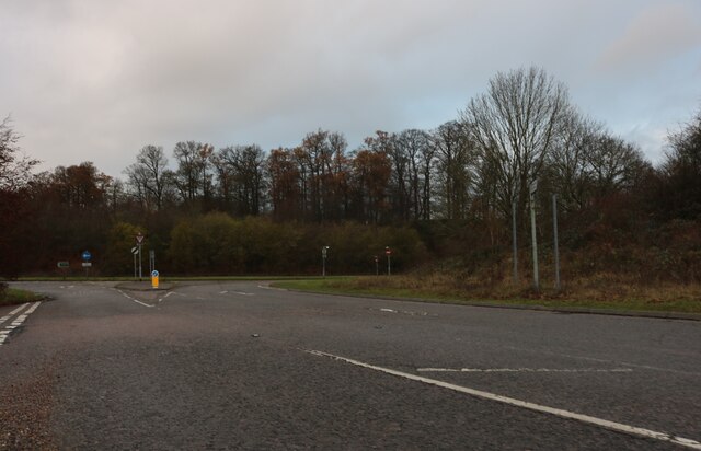
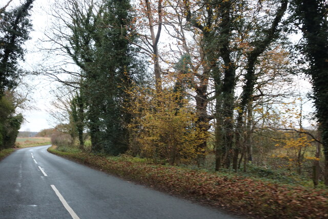
Archer's Spring, located in Hertfordshire, is a picturesque woodland area known for its natural beauty and tranquil atmosphere. This enchanting forest is situated in the southeastern part of Hertfordshire, near the town of Wood. The area is characterized by its dense vegetation, consisting of various species of trees such as oaks, beeches, and birches, which create a lush and vibrant landscape.

The name Archer's Spring originates from a small spring that flows through the forest, providing a source of fresh water for the local wildlife and vegetation. The babbling brook adds to the charm of the woodland, creating a peaceful and soothing ambiance for visitors.

The forest offers a haven for nature enthusiasts, with numerous walking trails and pathways that wind through the trees. These trails provide visitors with an opportunity to explore the diverse flora and fauna of the area, including rare and protected species of plants and animals.

Archer's Spring is also a popular destination for outdoor activities such as hiking, birdwatching, and photography. The forest's serene surroundings and abundant wildlife make it an ideal spot for capturing breathtaking images of nature.

Additionally, the area boasts a rich history, with archaeological evidence suggesting human occupation dating back thousands of years. Ancient artifacts and remnants of settlements have been discovered within the woodland, adding to its cultural significance.

Overall, Archer's Spring is a hidden gem in Hertfordshire, offering a retreat from the hustle and bustle of everyday life. Whether it's a leisurely stroll or an exploration of its natural wonders, this woodland sanctuary provides a unique and rejuvenating experience for all who visit.

If you have any feedback on the listing, please let us know in the comments section below.

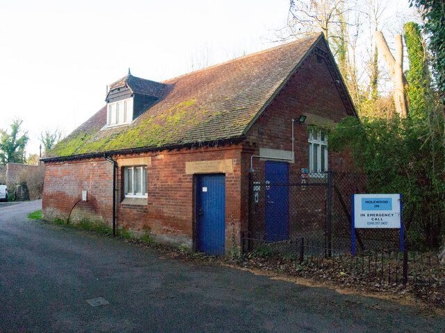
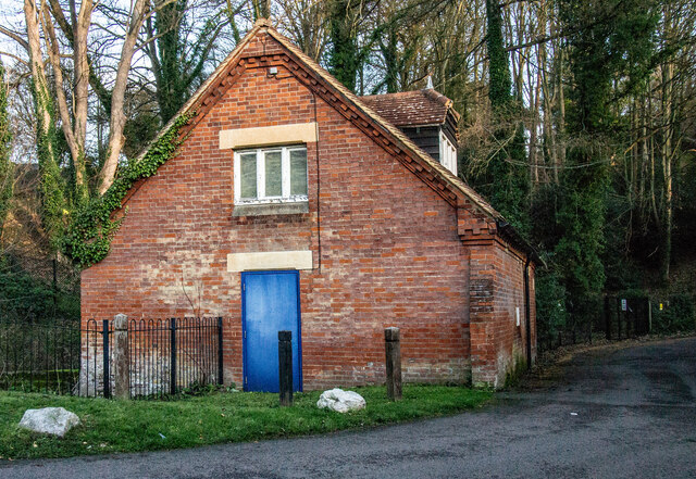
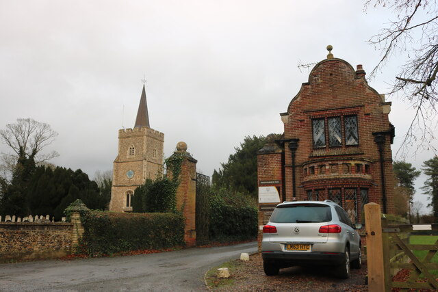
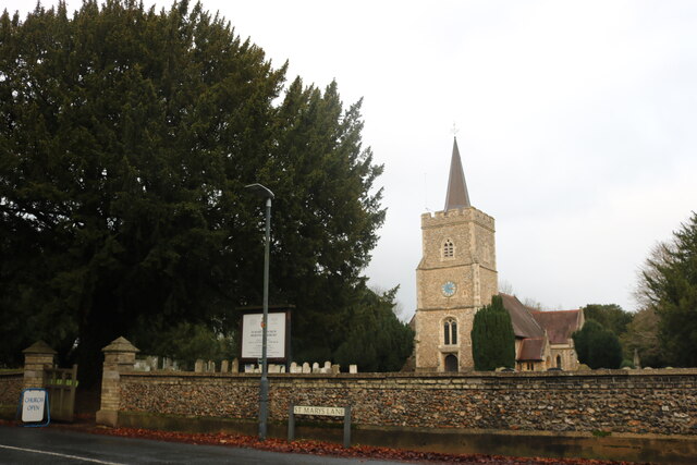
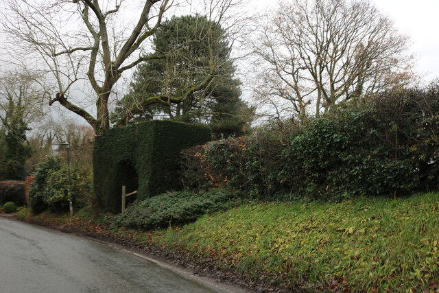
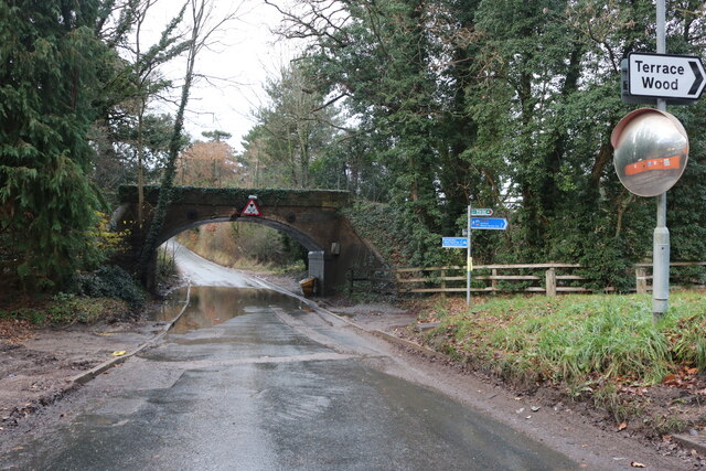
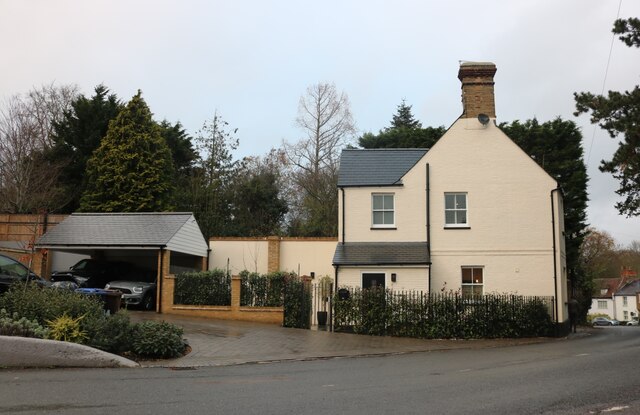
Archer's Spring Images

Images are sourced within 2km of 51.804792/-0.11194634 or Grid Reference TL3013. Thanks to Geograph Open Source API. All images are credited.

Hertford : Molewood Pumping Station Another view and historical note at <a href="https://www.geograph.org.uk/photo/946532">TL3113 : Bengeo: Molewood Pumping Station</a>. A plaque reading 'J BELL 1801' from a former mill is incorporated in to the pumping station.
Hertford : Molewood Pumping Station
Another view and historical note at TL3113 : Bengeo: Molewood Pumping Station. A plaque reading 'J BELL 1801' from a former mill is incorporated in to the pumping station.
Hertford : Molewood Pumping Station Another view and notes at <a href="https://www.geograph.org.uk/photo/7040581">TL3113 : Hertford : Molewood Pumping Station</a>.
Hertford : Molewood Pumping Station
St Mary's Church, Hertingfordbury
Hertingfordbury Road at the junction of the A414 Turn left for Hatfield, right for Hertford (except it's not allowed).
Hertingfordbury Road at the junction of the A414
Turn left for Hatfield, right for Hertford (except it's not allowed).
Shops on Fleming Crescent, Hertford
Bentley Road, Hertford From the end of Calton Avenue
Bentley Road, Hertford
From the end of Calton Avenue
Knitted letterbox cover on Bentley Road, Hertford There is a local workshop making these who have just been on the TV
Knitted letterbox cover on Bentley Road, Hertford
There is a local workshop making these who have just been on the TV
Knitted letterbox cover on Bentley Road, Hertford There is a local workshop making these who have just been on the TV
Knitted letterbox cover on Bentley Road, Hertford
There is a local workshop making these who have just been on the TV
Flats on Windsor Drive, Hertford
Topiary archway on St Mary's Lane, Hertingfordbury
Bridge over on St Mary's Lane, Hertingfordbury This carried the Hertford - Hatfield line which closed to passengers in 1951.
Bridge over on St Mary's Lane, Hertingfordbury
This carried the Hertford - Hatfield line which closed to passengers in 1951.
Ex pub on Hertingfordbury Road It was the Prince of Wales
Ex pub on Hertingfordbury Road
It was the Prince of Wales
Hertford : inscribed lintel, Molewood Pumping Station Another view and historical note at <a href="https://www.geograph.org.uk/photo/946532">TL3113 : Bengeo: Molewood Pumping Station</a>. A plaque reading 'J BELL 1801' from a former mill is incorporated in to the pumping station.
Hertford : inscribed lintel, Molewood Pumping Station
Another view and historical note at TL3113 : Bengeo: Molewood Pumping Station. A plaque reading 'J BELL 1801' from a former mill is incorporated in to the pumping station.
The entrance to Broad Oak Manor, Hertford
Tattle Hill, Broadoak End By Oakfield Plantation on the right
Tattle Hill, Broadoak End
By Oakfield Plantation on the right
Main Road, Bramfield
Looking towards Priest Wood, Bramfield
Show me another place!

Archer's Spring is located at Grid Ref: TL3013 (Lat: 51.804792, Lng: -0.11194634)

Administrative County: Hertfordshire

District: East Hertfordshire

Police Authority: Hertfordshire

What 3 Words

///given.nurse.guard. Near Hertford, Hertfordshire

Related Wikis

Sele Farm

Sele Farm is an area on the north-western edge of Hertford, Hertfordshire. == Geography == Sele Farm is mostly 60 metres above sea level, on a hill between...

The Sele School

The Sele School is a coeducational secondary school and sixth form with academy status, located in Hertford, Hertfordshire, in the south east of England...

Goldings estate

Goldings Estate is a large Elizabethan style country house and surrounding land close to Waterford, north of Hertford, Hertfordshire, England. The house...

A119 road (England)

The A119 road is an A road connecting Ware and Watton-at-Stone via Hertford. == References ==

Panshanger

Panshanger was a large country house located between the outer edge of Hertford and Welwyn Garden City in Hertfordshire, England. == History == Earl Cowper...

Hertford North railway station

Hertford North railway station is one of two stations serving the town of Hertford in Hertfordshire, England, the other being Hertford East railway station...

Hertingfordbury

Hertingfordbury is a small village in Hertfordshire, England, close to the county town of Hertford. It was mentioned in the Domesday Book of 1086. Hertingfordbury...

Waterford, Hertfordshire

Waterford is a village in the East Hertfordshire district of Hertfordshire, England. It is located on the A119 road, around 2.5 km (1.6 miles) north of...

Nearby Amenities

Located within 500m of 51.804792,-0.11194634
Barrier: cycle_barrier
Lat/Long: 51.8037606/-0.1096993
Bus Stop
Terminus
Naptan AtcoCode: 210021300625
Naptan Bearing: E
Naptan CommonName: Terminus
Naptan Crossing: Terminus
Naptan Indicator: o/s
Naptan Landmark: Terminus
Naptan NaptanCode: hrtdwdgp
Naptan PlusbusZoneRef: HFDN
Naptan ShortCommonName: NA
Naptan Street: Bentley Road
Naptan Verified: no
Source: naptan_import
Lat/Long: 51.8030239/-0.1090407
Bus Stop
Longwood Road
Naptan AtcoCode: 210021312457
Naptan Bearing: W
Naptan CommonName: Longwood Road
Naptan Crossing: Longwood Road
Naptan Indicator: opp
Naptan Landmark: Longwood Road
Naptan NaptanCode: hrtdmwad
Naptan PlusbusZoneRef: HFDN
Naptan ShortCommonName: NA
Naptan Street: The Ridgeway
Naptan Verified: no
Source: naptan_import
Lat/Long: 51.8045402/-0.1049157
Bus Stop
FIXME: position
Lat/Long: 51.8028277/-0.1086094
Barrier: kissing_gate
Foot: permissive
Source: GPS, observation
Lat/Long: 51.8017576/-0.1122847
Barrier: cycle_barrier
Lat/Long: 51.8045867/-0.1076955
Communication Mobile Phone: yes
Man Made: mast
Material: metal
Tower Type: communication
Lat/Long: 51.8027892/-0.1175007
Generator Method: photovoltaic
Generator Output Electricity: yes
Generator Source: solar
Generator Type: solar_photovoltaic_panel
Power: generator
Lat/Long: 51.801816/-0.1100607
Generator Method: photovoltaic
Generator Output Electricity: yes
Generator Source: solar
Generator Type: solar_photovoltaic_panel
Power: generator
Lat/Long: 51.8022738/-0.1096154
The data included in this document is from www.openstreetmap.org. The data is made available under ODbL.

Have you been to Archer's Spring?

Leave your review of Archer's Spring below (or comments, questions and feedback).