Valentine Spring
Wood, Forest in Hertfordshire East Hertfordshire
England
Valentine Spring

Valentine Spring is a charming woodland area located in Hertfordshire, England. Situated in the heart of the county, this serene forest is a haven for nature lovers and outdoor enthusiasts. Covering an area of approximately 100 acres, Valentine Spring is a unique blend of ancient woodland and newer plantations.
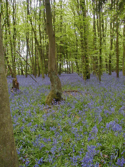
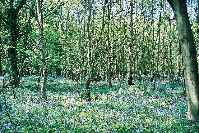
The forest is known for its diverse range of tree species, including oak, beech, and birch. These towering trees provide a lush canopy, creating a serene and peaceful atmosphere. The forest floor is adorned with a variety of wildflowers, such as bluebells and primroses, adding a burst of color to the landscape during the spring season.
Valentine Spring is home to a plethora of wildlife, making it a haven for animal enthusiasts. Visitors may spot a range of creatures, including deer, squirrels, rabbits, and a variety of bird species. The forest's tranquil setting and abundance of natural resources provide these animals with a safe habitat.
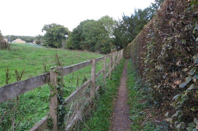
The woodland boasts several well-maintained walking trails that allow visitors to explore its beauty. These trails wind through the forest, offering breathtaking views of the surrounding landscape. In addition, there are designated picnic areas for visitors to relax and enjoy a meal amidst nature.
Valentine Spring is a popular destination for families, hikers, and nature enthusiasts alike. Its peaceful ambiance, picturesque scenery, and diverse wildlife make it a must-visit location for anyone seeking a tranquil escape from the hustle and bustle of everyday life.
If you have any feedback on the listing, please let us know in the comments section below.
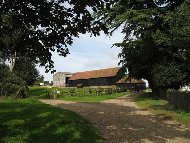
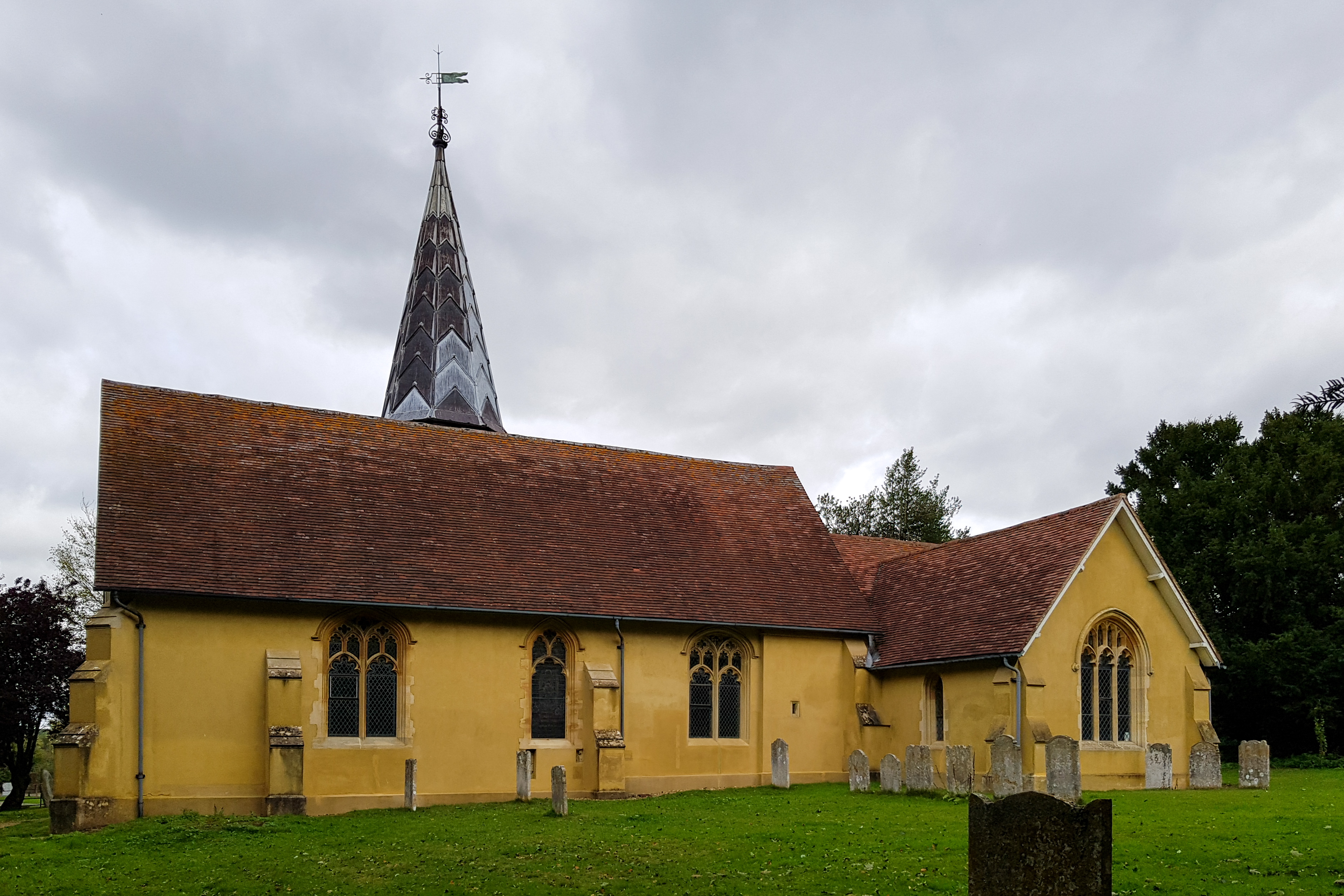
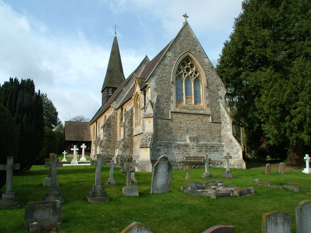
Valentine Spring Images
Images are sourced within 2km of 51.835648/-0.11055427 or Grid Reference TL3016. Thanks to Geograph Open Source API. All images are credited.


Valentine Spring is located at Grid Ref: TL3016 (Lat: 51.835648, Lng: -0.11055427)
Administrative County: Hertfordshire
District: East Hertfordshire
Police Authority: Hertfordshire
What 3 Words
///watch.clean.putty. Near Watton at Stone, Hertfordshire
Nearby Locations
Related Wikis

Stapleford railway station
Stapleford railway station was a station on the Hertford Loop Line, and was situated in the village of Stapleford, Hertfordshire, England. == History... ==
Stapleford, Hertfordshire
Not to be confused with Stapleford, Nottinghamshire. Stapleford is a village and civil parish of 134 acres (54 ha) on the A119 road, in the East Hertfordshire...

Bramfield, Hertfordshire
Bramfield is a village and civil parish in the East Hertfordshire district, in the county of Hertfordshire, England. Nearby settlements include Hertford...
Waterford, Hertfordshire
Waterford is a village in the East Hertfordshire district of Hertfordshire, England. It is located on the A119 road, around 2.5 km (1.6 miles) north of...

Woodhall Park
Woodhall Park is a Grade I listed country house near Watton-at-Stone, Hertfordshire, England. The 18th century neo-classical building is set in a walled...
Heath Mount School
Heath Mount School is a Church of England co-educational independent prep school near Watton-at-Stone, Hertfordshire, England. It admits pupils aged 3...

Waterford Heath
Waterford Heath is a 35.2 hectare Local Nature Reserve in Waterford in Hertfordshire, England. It is owned by Lafarge Tarmac and managed by the Herts and...
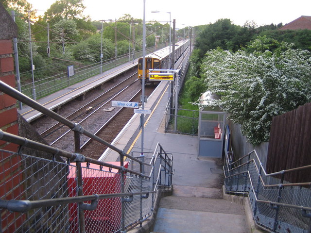
Watton-at-Stone railway station
Watton-at-Stone railway station serves the village of Watton-at-Stone in Hertfordshire, England. It is 23 miles 72 chains (23.90 miles, 38.46 km) down...
Nearby Amenities
Located within 500m of 51.835648,-0.11055427Have you been to Valentine Spring?
Leave your review of Valentine Spring below (or comments, questions and feedback).