Long Wood
Wood, Forest in Hertfordshire East Hertfordshire
England
Long Wood
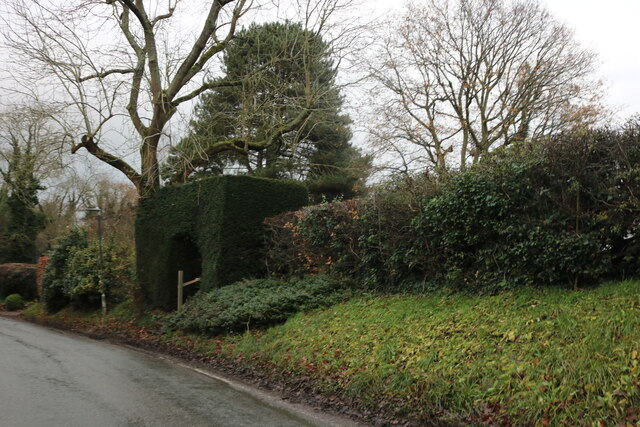
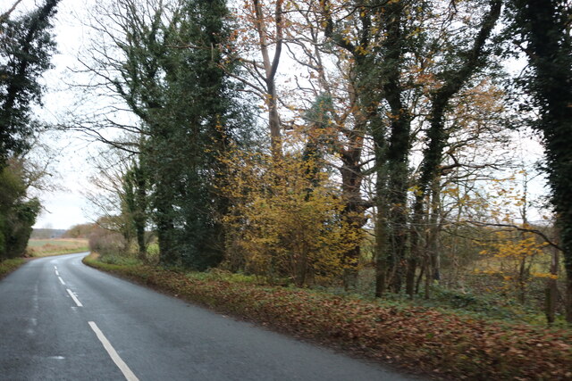
Long Wood is a picturesque forest located in Hertfordshire, England. Covering an area of approximately 200 acres, it is a popular destination for nature enthusiasts and outdoor adventurers alike. The wood is situated on a gently sloping terrain, encompassing a variety of habitats including ancient woodland, meadows, and wetlands.
The forest is characterized by its dense canopy of tall trees, predominantly consisting of oak, beech, and birch. These towering trees create a serene and tranquil atmosphere, providing shelter for a diverse range of flora and fauna. Bluebells, primroses, and wild garlic carpet the forest floor during spring, creating a vibrant display of colors.
Long Wood offers a network of well-maintained footpaths and trails, allowing visitors to explore its natural beauty by foot or bicycle. The trails wind through the wood, providing opportunities to observe native wildlife such as deer, foxes, and a variety of bird species. The wood also features a small pond, attracting aquatic wildlife and providing a serene spot for relaxation.
Throughout the year, the wood hosts various events and activities, including guided walks, nature workshops, and educational programs for children. These initiatives aim to promote environmental awareness and conservation efforts.
Long Wood is easily accessible, with ample parking and nearby public transportation options. It is a cherished natural gem within Hertfordshire, offering visitors a tranquil escape from the hustle and bustle of everyday life.
If you have any feedback on the listing, please let us know in the comments section below.
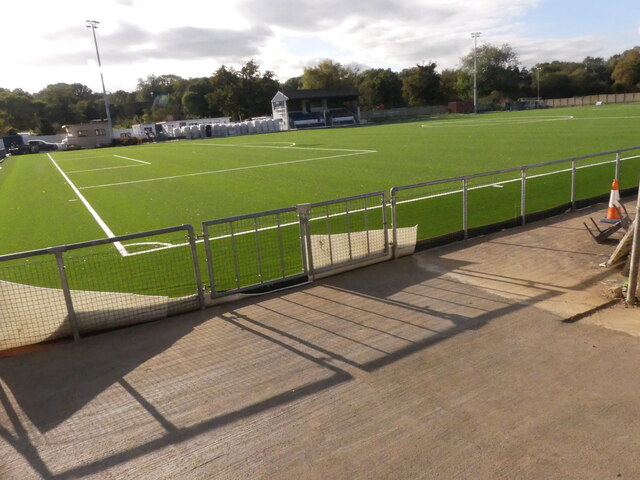
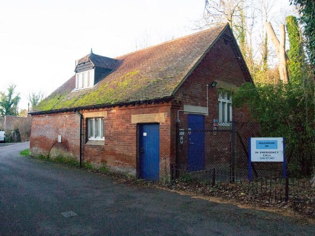
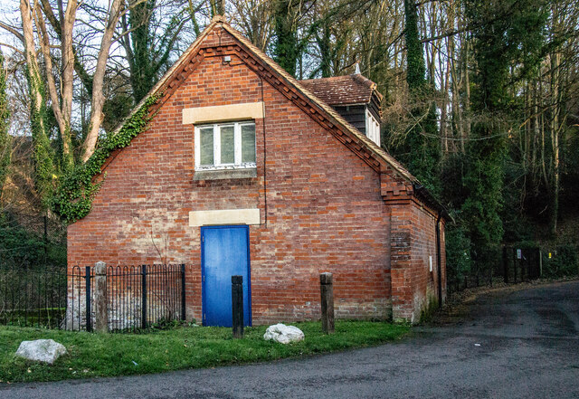
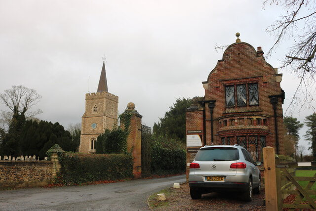
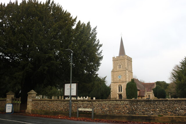
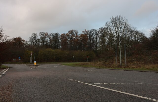
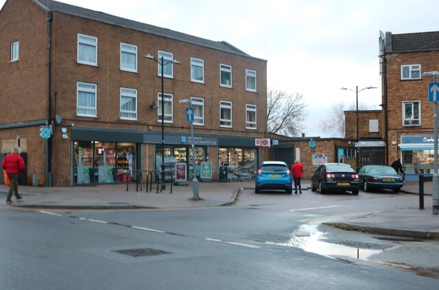
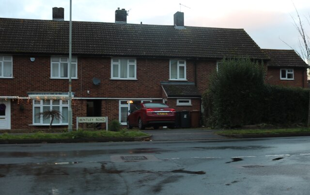
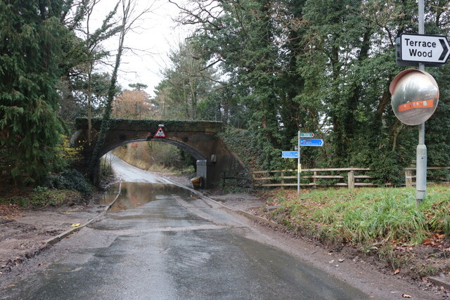
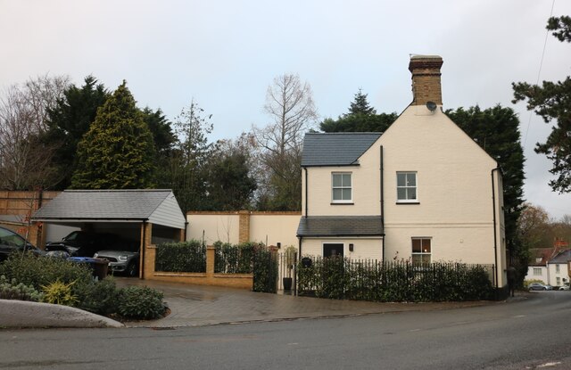
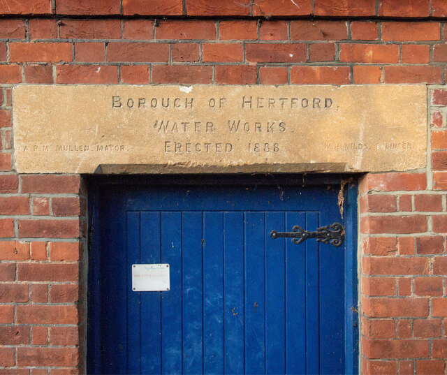
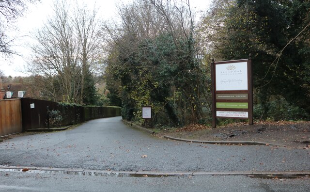
Long Wood Images
Images are sourced within 2km of 51.805457/-0.10637755 or Grid Reference TL3013. Thanks to Geograph Open Source API. All images are credited.


Long Wood is located at Grid Ref: TL3013 (Lat: 51.805457, Lng: -0.10637755)
Administrative County: Hertfordshire
District: East Hertfordshire
Police Authority: Hertfordshire
What 3 Words
///hung.turkey.lake. Near Hertford, Hertfordshire
Nearby Locations
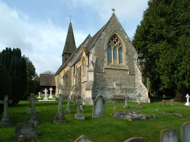
Related Wikis

Sele Farm
Sele Farm is an area on the north-western edge of Hertford, Hertfordshire. == Geography == Sele Farm is mostly 60 metres above sea level, on a hill between...

Goldings estate
Goldings Estate is a large Elizabethan style country house and surrounding land close to Waterford, north of Hertford, Hertfordshire, England. The house...
The Sele School
The Sele School is a coeducational secondary school and sixth form with academy status, located in Hertford, Hertfordshire, in the south east of England...

A119 road (England)
The A119 road is an A road connecting Ware and Watton-at-Stone via Hertford. == References ==
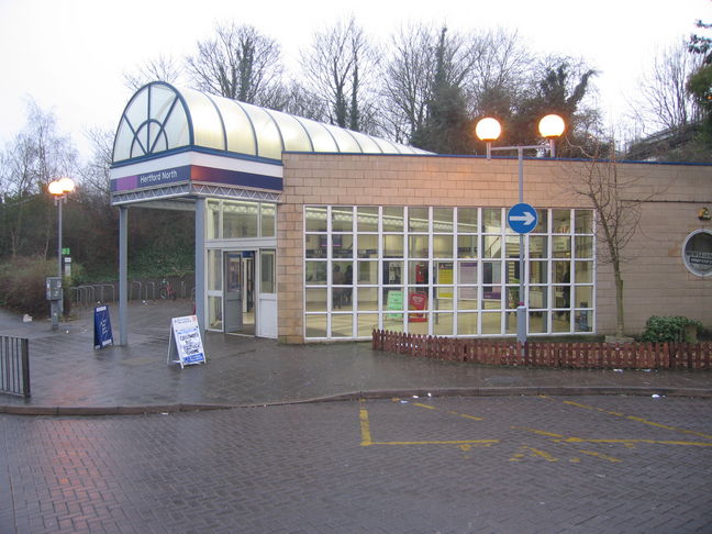
Hertford North railway station
Hertford North railway station is one of two stations serving the town of Hertford in Hertfordshire, England, the other being Hertford East railway station...
Waterford, Hertfordshire
Waterford is a village in the East Hertfordshire district of Hertfordshire, England. It is located on the A119 road, around 2.5 km (1.6 miles) north of...

Sele Mill
Sele Mill is a late 19th-century mill building in Hertford, England. It has been converted into apartments. A blue plaque on the building (Plaque #30561...
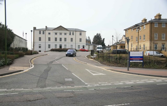
Hertford County Hospital
Hertford County Hospital is situated in the town of Hertford, county town of Hertfordshire, England. It is managed by the East and North Hertfordshire...
Nearby Amenities
Located within 500m of 51.805457,-0.10637755Have you been to Long Wood?
Leave your review of Long Wood below (or comments, questions and feedback).