Alder Wood
Wood, Forest in Sussex Mid Sussex
England
Alder Wood

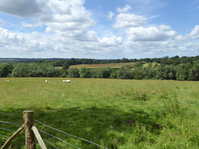
Alder Wood, located in Sussex, England, is a remarkable forest known for its dense vegetation and rich biodiversity. Covering an area of approximately 500 acres, it is celebrated for its stunning display of alder trees, which dominate the landscape and lend the wood its name. This ancient forest has been preserved for centuries, maintaining its natural beauty and attracting nature enthusiasts and researchers alike.
One of the defining features of Alder Wood is its unique ecosystem. The forest floor is carpeted with a lush undergrowth of ferns, mosses, and wildflowers, creating a vibrant tapestry of colors. The alder trees themselves, with their distinctive light brown bark and slender trunks, tower above, providing ample shade and shelter for a multitude of wildlife species.
The wood is home to a plethora of animal species, making it a haven for birdwatchers and wildlife enthusiasts. Red squirrels scurry through the branches, while woodpeckers drum their distinctive beats on the tree trunks. The melodious songs of various bird species fill the air, including the enchanting call of the nightingale during the breeding season.
Alder Wood offers a range of recreational activities for visitors, including hiking trails that wind through the forest, allowing one to fully immerse themselves in nature's wonders. The forest's tranquil atmosphere and picturesque surroundings make it an ideal place for picnicking, photography, and simply enjoying the beauty of the outdoors.
In conclusion, Alder Wood in Sussex is a captivating forest that captivates visitors with its ancient alder trees, vibrant undergrowth, and diverse wildlife. It is a testament to the importance of preserving natural habitats and serves as a sanctuary for both flora and fauna.
If you have any feedback on the listing, please let us know in the comments section below.
Alder Wood Images
Images are sourced within 2km of 51.060463/-0.14579734 or Grid Reference TQ3030. Thanks to Geograph Open Source API. All images are credited.


Alder Wood is located at Grid Ref: TQ3030 (Lat: 51.060463, Lng: -0.14579734)
Administrative County: West Sussex
District: Mid Sussex
Police Authority: Sussex
What 3 Words
///collides.polo.flow. Near Balcombe, West Sussex
Nearby Locations
Related Wikis
Balcombe
Balcombe is a village and civil parish in the Mid Sussex District of West Sussex, England. It lies 31 miles (50 km) south of London, 16 miles (26 km) north...

Balcombe railway station
Balcombe railway station is on the Brighton Main Line in England, serving the village of Balcombe, West Sussex. It is 33 miles 64 chains (54.4 km) down...

Brantridge Park
Brantridge Park, Balcombe, West Sussex, England is a 19th-century country house, formerly one of the lesser royal residences. It is a Grade II listed building...
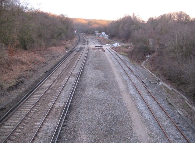
Balcombe tunnel
Balcombe tunnel is a railway tunnel on the Brighton Main Line through the Sussex Weald between Three Bridges and Balcombe. It is 1,034 metres (1,131 yards...
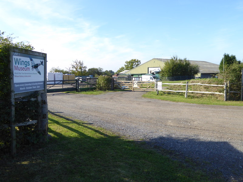
Wings Museum
The Wings Museum is an aviation museum located in Sussex, United Kingdom. It is housed in a 12,000 square feet (1,100 m2) hangar-like former farm building...
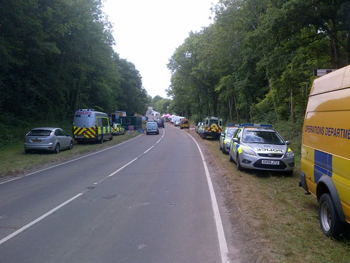
Balcombe drilling protest
The Balcombe drilling protest occurred when test drilling and possible fracking for petroleum were proposed in 2012 near Balcombe, a village in West Sussex...

Worth Forest
Worth Forest is a 43.8-hectare (108-acre) biological Site of Special Scientific Interest south of Crawley in West Sussex. It is in the High Weald Area...

Worth Forest (electoral division)
Worth Forest is an electoral division of West Sussex in the United Kingdom, and returns one member to sit on West Sussex County Council. == Extent == The...
Nearby Amenities
Located within 500m of 51.060463,-0.14579734Have you been to Alder Wood?
Leave your review of Alder Wood below (or comments, questions and feedback).