Balcombe
Settlement in Sussex Mid Sussex
England
Balcombe

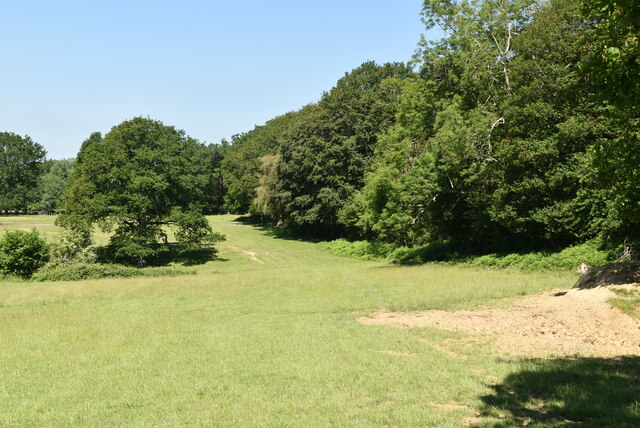
Balcombe is a picturesque village located in the Mid Sussex district of West Sussex county in England. Situated approximately 33 miles south of London, it lies within the High Weald Area of Outstanding Natural Beauty. The village is nestled in a rural setting, surrounded by rolling hills, lush green fields, and dense woodlands, making it an ideal location for outdoor enthusiasts and nature lovers.
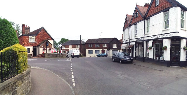
One of Balcombe's notable features is its tranquil countryside charm, with a charming village center adorned with traditional cottages, a historic church, and a few local shops and amenities. The village is also home to Balcombe Place, an elegant mansion dating back to the 18th century, which adds to the area's architectural appeal.
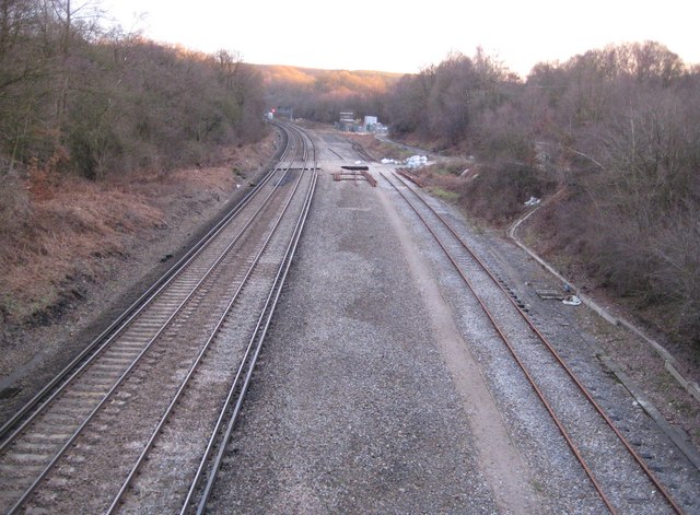
The village is famous for its railway station, Balcombe railway station, which has been serving the community since 1841. It is located on the London to Brighton railway line, providing convenient access to both cities and other parts of the country.
For those seeking recreational activities, Balcombe offers several options. The area is known for its extensive network of walking and cycling paths, allowing visitors to explore the surrounding countryside and enjoy the tranquil beauty of the region. The nearby Balcombe Lake, also known as Ardingly Reservoir, offers opportunities for fishing and water sports.
Overall, Balcombe is a charming village that offers a peaceful and idyllic setting, making it a sought-after destination for those looking to escape the hustle and bustle of city life and immerse themselves in the natural beauty of the Sussex countryside.
If you have any feedback on the listing, please let us know in the comments section below.
Balcombe Images
Images are sourced within 2km of 51.059965/-0.133126 or Grid Reference TQ3030. Thanks to Geograph Open Source API. All images are credited.


Balcombe is located at Grid Ref: TQ3030 (Lat: 51.059965, Lng: -0.133126)
Administrative County: West Sussex
District: Mid Sussex
Police Authority: Sussex
What 3 Words
///corals.suitable.shun. Near Balcombe, West Sussex
Nearby Locations
Related Wikis
Balcombe
Balcombe is a village and civil parish in the Mid Sussex District of West Sussex, England. It lies 31 miles (50 km) south of London, 16 miles (26 km) north...

Balcombe railway station
Balcombe railway station is on the Brighton Main Line in England, serving the village of Balcombe, West Sussex. It is 33 miles 64 chains (54.4 km) down...
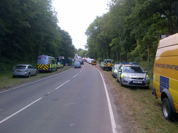
Balcombe drilling protest
The Balcombe drilling protest occurred when test drilling and possible fracking for petroleum were proposed in 2012 near Balcombe, a village in West Sussex...
Balcombe tunnel
Balcombe tunnel is a railway tunnel on the Brighton Main Line through the Sussex Weald between Three Bridges and Balcombe. It is 1,034 metres (1,131 yards...

Brantridge Park
Brantridge Park, Balcombe, West Sussex, England is a 19th-century country house, formerly one of the lesser royal residences. It is a Grade II listed building...
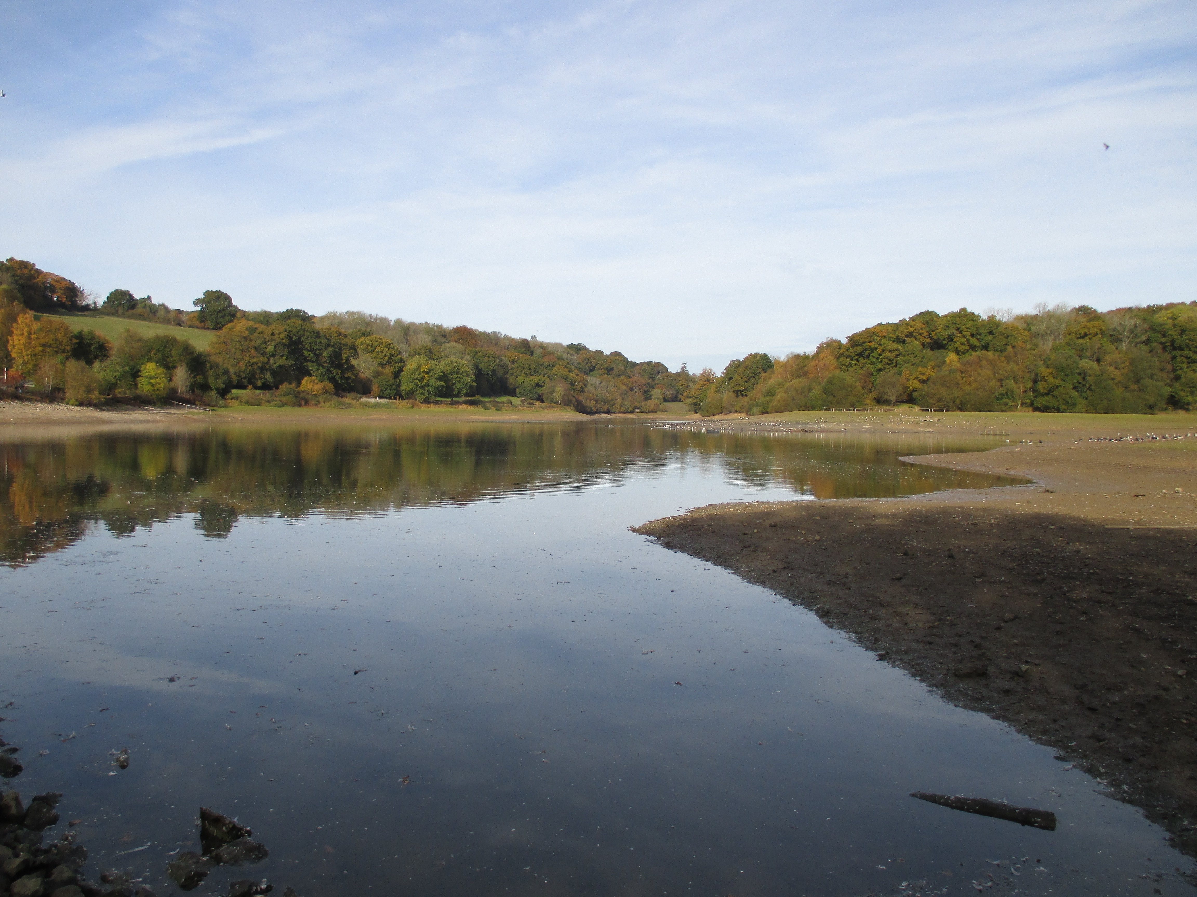
Ardingly Reservoir
Ardingly Reservoir is west of Ardingly in West Sussex. The southern end is a 74.5-hectare (184-acre) Local Nature Reserve owned and managed by South East...
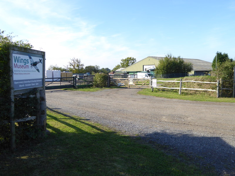
Wings Museum
The Wings Museum is an aviation museum located in Sussex, United Kingdom. It is housed in a 12,000 square feet (1,100 m2) hangar-like former farm building...

Worth Forest (electoral division)
Worth Forest is an electoral division of West Sussex in the United Kingdom, and returns one member to sit on West Sussex County Council. == Extent == The...
Nearby Amenities
Located within 500m of 51.059965,-0.133126Have you been to Balcombe?
Leave your review of Balcombe below (or comments, questions and feedback).