Allen's Wood

Wood, Forest in Surrey Crawley

England

Allen's Wood

St Bartholomew Church, Burstow, Surrey A delightful half timbered 11th century Church of England church in this tranquil village (other than all of Gatwick airports air traffic that thunders a few hundred metres overhead!). Restored 184-95.
More info at <span class="nowrap"><a title="http://www.achurchnearyou.com/page.php?V=565&P=207" rel="nofollow ugc noopener" href="http://www.achurchnearyou.com/page.php?V=565&P=207">Link</a><img style="margin-left:2px;" alt="External link" title="External link - shift click to open in new window" src="https://s1.geograph.org.uk/img/external.png" width="10" height="10"/></span>
St Bartholomew Church, Burstow, Surrey Credit: Pete Chapman

Allen's Wood is a charming natural area located in the county of Surrey, England. Situated within the larger Surrey Hills Area of Outstanding Natural Beauty, this woodland paradise is surrounded by picturesque landscapes and offers a tranquil retreat for nature enthusiasts and walkers alike.

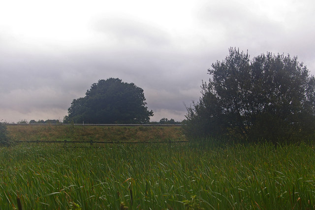
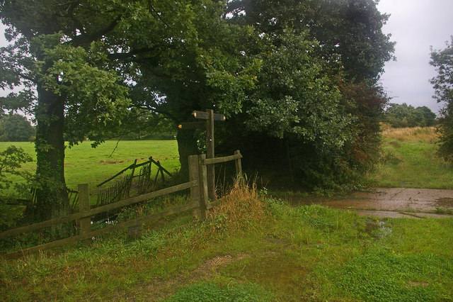
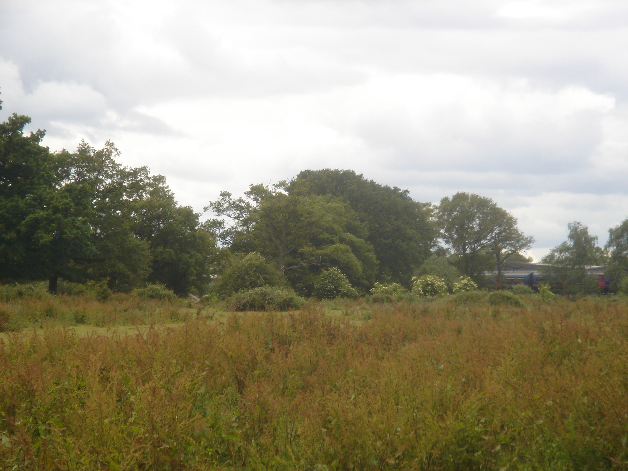
Spanning approximately 100 acres, Allen's Wood is predominantly composed of broadleaf trees, including oak, beech, and birch. These towering giants create a dense canopy, providing shade during the summer months and a vibrant display of colors during the autumn season. The forest floor is adorned with a tapestry of wildflowers, adding a splash of color and attracting a variety of wildlife.

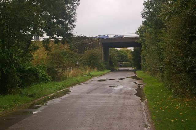
The woodland is crisscrossed by a network of well-maintained footpaths and trails, offering visitors the opportunity to explore its diverse flora and fauna. Birdwatchers will be delighted to spot a wide range of species, including woodpeckers, robins, and thrushes. Meanwhile, keen-eyed observers may even catch a glimpse of roe deer, badgers, and foxes as they traverse the woodland.

Allen's Wood is not only a haven for wildlife but also a place of historical interest. The site is believed to have been used for charcoal production during the medieval period, with remnants of charcoal platforms still visible today. This historical significance adds an extra layer of intrigue to the woodland experience.

Visitors to Allen's Wood can enjoy a peaceful picnic surrounded by nature's beauty or simply take a leisurely stroll through the forest, immersing themselves in the sights and sounds of this enchanting woodland escape.

If you have any feedback on the listing, please let us know in the comments section below.
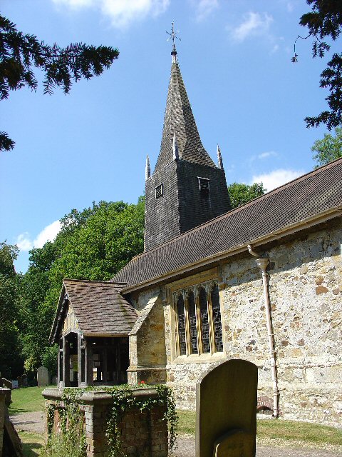
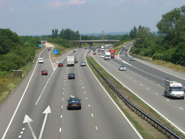
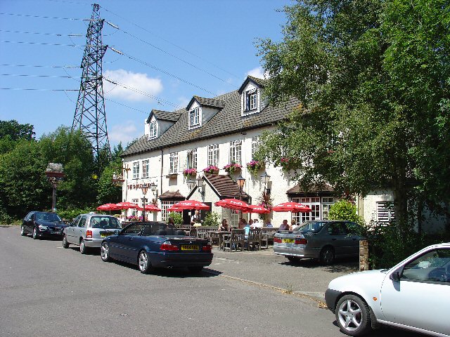
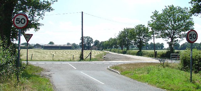
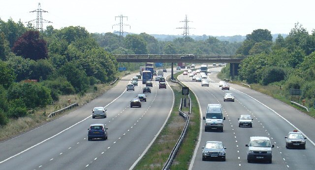
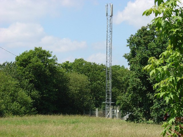
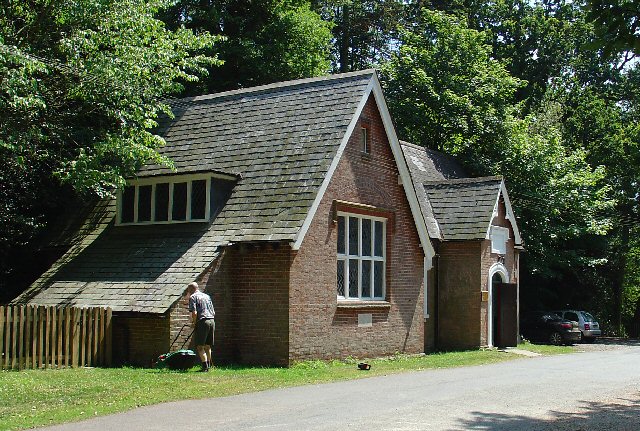
Allen's Wood Images

Images are sourced within 2km of 51.146193/-0.14229239 or Grid Reference TQ3040. Thanks to Geograph Open Source API. All images are credited.

St Bartholomew Church, Burstow, Surrey A delightful half timbered 11th century Church of England church in this tranquil village (other than all of Gatwick airports air traffic that thunders a few hundred metres overhead!). Restored 184-95.
More info at <span class="nowrap"><a title="http://www.achurchnearyou.com/page.php?V=565&P=207" rel="nofollow ugc noopener" href="http://www.achurchnearyou.com/page.php?V=565&P=207">Link</a><img style="margin-left:2px;" alt="External link" title="External link - shift click to open in new window" src="https://s1.geograph.org.uk/img/external.png" width="10" height="10"/></span>
St Bartholomew Church, Burstow, Surrey
A delightful half timbered 11th century Church of England church in this tranquil village (other than all of Gatwick airports air traffic that thunders a few hundred metres overhead!). Restored 184-95. More info at LinkExternal link
M23 Junction 9 - Gatwick Airport Spur Road, West Sussex Viewed from a bridleway bridge just to the south, looking N.
M23 Junction 9 - Gatwick Airport Spur Road, West Sussex
Viewed from a bridleway bridge just to the south, looking N.
The Shipley Bridge Pub, Shipley Bridge, Surrey A country pub with a large pub garden. View taken from E looking W. Popular on this Friday lunchtime.
The Shipley Bridge Pub, Shipley Bridge, Surrey
A country pub with a large pub garden. View taken from E looking W. Popular on this Friday lunchtime.
Road Junction of B2037 with minor road to Burstow. Newhouse Farm in the Background A junction with a busy road. Most of this square is farmland, with the B road cutting across from E-W. Newhouse Farm dominates the view in the distance. View taken from Burstow road, looking SSE.
Road Junction of B2037 with minor road to Burstow. Newhouse Farm in the Background
A junction with a busy road. Most of this square is farmland, with the B road cutting across from E-W. Newhouse Farm dominates the view in the distance. View taken from Burstow road, looking SSE.
Motorway Bridge of B2037 over M23, Shipley Bridge, Surrey View taken from Bridleway bridge to the N, looking S. The Shipley Bridge Pub is very close to this bridge.
Motorway Bridge of B2037 over M23, Shipley Bridge, Surrey
View taken from Bridleway bridge to the N, looking S. The Shipley Bridge Pub is very close to this bridge.
Telephone Mast near M23 Junction 9, Near Burstow, Surrey. This is situated in a field just N of a bridleway leading to Burstow. View taken looking N from the bridleway.
Telephone Mast near M23 Junction 9, Near Burstow, Surrey.
This is situated in a field just N of a bridleway leading to Burstow. View taken looking N from the bridleway.
The John Flamsteed Hall, Burstow Church, Burstow, Surrey Just over the road from the church. A plaque over the door states that the building was erected in 1859.
The John Flamsteed Hall, Burstow Church, Burstow, Surrey
Just over the road from the church. A plaque over the door states that the building was erected in 1859.
Boundary meeting point The far side of this balancing pond, at the foot of the M23 Gatwick Spur (the crash barriers of which can be seen across the middle of the photo), is the meeting point of Tandridge District and Reigate and Banstead District (both in Surrey) and West Sussex.  The motorway is in West Sussex, most of the foreground is in Reigate and Banstead and a thin sliver of land at the base of the embankment, running from the left hand side of the photo to a point in the centre, is in Tandridge.  Older maps show the Surrey/West Sussex border running south from this point, which subsequently got shifted to the main M23.  But the district boundaries appear to have remained unchanged, which would seem to explain the thin triangle of Tandridge shown on the map.  Viewed on a very gloomy Sunday morning.
Boundary meeting point
The far side of this balancing pond, at the foot of the M23 Gatwick Spur (the crash barriers of which can be seen across the middle of the photo), is the meeting point of Tandridge District and Reigate and Banstead District (both in Surrey) and West Sussex. The motorway is in West Sussex, most of the foreground is in Reigate and Banstead and a thin sliver of land at the base of the embankment, running from the left hand side of the photo to a point in the centre, is in Tandridge. Older maps show the Surrey/West Sussex border running south from this point, which subsequently got shifted to the main M23. But the district boundaries appear to have remained unchanged, which would seem to explain the thin triangle of Tandridge shown on the map. Viewed on a very gloomy Sunday morning.
Footpath junction Ahead is to Peeks Brook Lane, behind is to Gatwick Airport, to the left is to Horley.
Footpath junction
Ahead is to Peeks Brook Lane, behind is to Gatwick Airport, to the left is to Horley.
Peeks Brook Lane Running under the M23 Gatwick Spur.
Peeks Brook Lane
Running under the M23 Gatwick Spur.
Joining the M23 Gatwick spur road from the Northbound M23 Front seat passenger's view
Joining the M23 Gatwick spur road from the Northbound M23
Front seat passenger's view
Access to Gatwick Airport from M23 Junction 9.
Access to Gatwick Airport from M23
Junction 9.
Police Parking? A not totally clear road sign for foreign visitors to Britain approaching their departure airport!
Police Parking?
A not totally clear road sign for foreign visitors to Britain approaching their departure airport!
M23 Motorway
M23 Motorway
St Bartholomew’s (Formerly St Michael the Archangel) Church, Burstow, Surrey The outstanding feature of the church is the west tower, built in the 15th or 16th century. The timber tower is a separate construction; the church has a west wall of stone. The Church is a Grade 1 Listed Building, it is also very close to Gatwick Airport as seen by the plane coming into land. <span class="nowrap"><a title="http://www.stbartholomewsburstow.org.uk/history1.html" rel="nofollow ugc noopener" href="http://www.stbartholomewsburstow.org.uk/history1.html">Link</a><img style="margin-left:2px;" alt="External link" title="External link - shift click to open in new window" src="https://s1.geograph.org.uk/img/external.png" width="10" height="10"/></span>
St Bartholomew’s (Formerly St Michael the Archangel) Church, Burstow, Surrey
The outstanding feature of the church is the west tower, built in the 15th or 16th century. The timber tower is a separate construction; the church has a west wall of stone. The Church is a Grade 1 Listed Building, it is also very close to Gatwick Airport as seen by the plane coming into land. LinkExternal link
St Bartholomew’s Church Tower , Burstow, Surrey The west tower was built in the 15th or 16th century and is  a separate construction to the rest of the church. It is enlarged at the bottom to accommodate three aisles and is weatherboarded
St Bartholomew’s Church Tower , Burstow, Surrey
The west tower was built in the 15th or 16th century and is a separate construction to the rest of the church. It is enlarged at the bottom to accommodate three aisles and is weatherboarded
The John Flamsteed Hall , Burstow, Surrey The hall was built in 1859 for the Sunday School of St Bartholomew’s Church which was on the other side of the road.
The John Flamsteed Hall , Burstow, Surrey
The hall was built in 1859 for the Sunday School of St Bartholomew’s Church which was on the other side of the road.
Burstow Stream Viewed from the Peeks Brook Lane bridge.
Burstow Stream
Viewed from the Peeks Brook Lane bridge.
Show me another place!

Allen's Wood is located at Grid Ref: TQ3040 (Lat: 51.146193, Lng: -0.14229239)

Administrative County: West Sussex

District: Crawley

Police Authority: Sussex

What 3 Words

///dust.roof.usage. Near Copthorne, West Sussex

Related Wikis

Ariana Afghan Airlines Flight 701

Ariana Afghan Airlines Flight 701 was the flight involved in a fatal air accident on 5 January 1969, when a Boeing 727 with 62 people on board crashed...

Tinsley Green, West Sussex

Tinsley Green is an area in the Borough of Crawley, one of seven local government districts in the English county of West Sussex. Originally a hamlet...

Fernhill, West Sussex

Fernhill is a hamlet close to Gatwick Airport in West Sussex, England. Its fields and farmhouses formerly straddled the county boundary between Surrey...

Forge Wood

Forge Wood (under construction and semi-occupied, but scheduled for completion in 2026) is the 14th residential neighbourhood in Crawley, a town and borough...

Pound Hill & Worth (electoral division)

Pound Hill & Worth is an electoral division of West Sussex in England, and returns one member to sit on West Sussex County Council. == Extent == The division...

Gatwick Airport Up sidings

Gatwick Airport Up sidings are located near London Gatwick Airport, Crawley, England, situated on the Brighton Main Line south of Gatwick Airport station...

City Place Gatwick

City Place Gatwick is an office complex located on the property of London Gatwick Airport in Crawley, West Sussex, England. The complex includes four buildings...

Beehive, Gatwick Airport

The Beehive is the original terminal building at Gatwick Airport, England. Opened in 1936, it became obsolete in the 1950s as the airport expanded. In...

Nearby Amenities

Located within 500m of 51.146193,-0.14229239
Noexit: yes
Lat/Long: 51.1490981/-0.136969
Power: tower
Lat/Long: 51.1448703/-0.136356
Power: tower
Lat/Long: 51.1468518/-0.1358067
Pub
The Parsons Pig
Outdoor Seating: yes
Smoking: outside
Lat/Long: 51.1434106/-0.1463925
Post Box
Operator: Royal Mail
Ref: RH6 203
Lat/Long: 51.150126/-0.144909
Emergency Bay
Lat/Long: 51.1472262/-0.136476
Post Box
Collection Times: Mo-Fr 09:00; Sa 07:00
Operator: Royal Mail
Operator Wikidata: Q638098
Post Box Type: lamp
Ref: RH10 7D
Royal Cypher: EIIR
Royal Cypher Wikidata: Q33102113
Lat/Long: 51.1444677/-0.1457271
Speed Camera
Maxspeed: 70 mph
Lat/Long: 51.145291/-0.136619
Phone
Emergency: phone
Operator: National Highways
Operator Type: government
Operator Wikidata: Q5760006
Lat/Long: 51.147226/-0.1362971
Camera Mount: pole
Camera Type: panning
Man Made: surveillance
Operator: National Highways
Operator Wikidata: Q5760006
Surveillance: outdoor
Surveillance Type: camera
Surveillance Zone: traffic
Lat/Long: 51.1489948/-0.1367779
Camera Mount: pole
Camera Type: panning
Man Made: surveillance
Operator: National Highways
Operator Type: public
Operator Wikidata: Q5760006
Surveillance: outdoor
Surveillance Type: camera
Surveillance Zone: traffic
Lat/Long: 51.1458425/-0.1370924
Camera Mount: pole
Camera Type: panning
Man Made: surveillance
Operator: National Highways
Operator Type: public
Operator Wikidata: Q5760006
Surveillance: outdoor
Surveillance Type: camera
Surveillance Zone: traffic
Lat/Long: 51.1453197/-0.1369269
Traffic Sign: variable_message
Variable Message Model: MS4
Lat/Long: 51.1452931/-0.1366465
Traffic Sign: variable_message
Variable Message Model: MS4
Lat/Long: 51.1453461/-0.1372057
Phone
Emergency: phone
Operator: National Highways
Operator Type: government
Operator Wikidata: Q5760006
Lat/Long: 51.1444997/-0.1374592
Emergency Bay
Lat/Long: 51.1444664/-0.1372796
Rottms Distance: 0
Traffic Sign: variable_message
Variable Message Model: ROTTMS
Lat/Long: 51.1465543/-0.1364225
Rottms Distance: 200 yards
Traffic Sign: variable_message
Variable Message Model: ROTTMS
Lat/Long: 51.1484657/-0.1362388
The data included in this document is from www.openstreetmap.org. The data is made available under ODbL.

Have you been to Allen's Wood?

Leave your review of Allen's Wood below (or comments, questions and feedback).