The Plantation
Wood, Forest in Surrey Reigate and Banstead
England
The Plantation
The Plantation, Surrey (Wood, Forest) is a lush and sprawling woodland located in the county of Surrey, England. Covering an expansive area of approximately 500 acres, it offers a serene and tranquil escape from the bustling city life. The woodland is situated in close proximity to the town of Guildford, making it easily accessible for both locals and visitors.
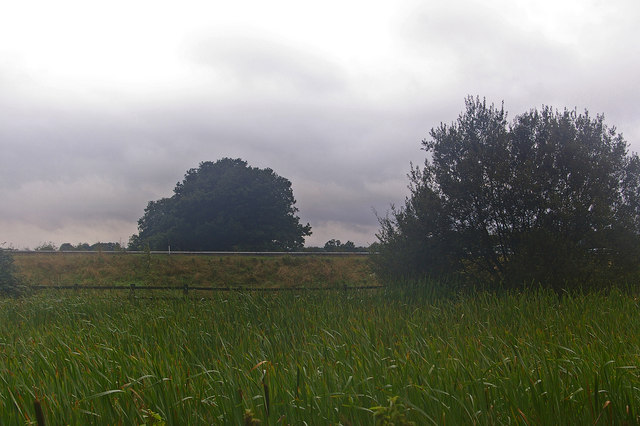
The Plantation is characterized by its diverse array of trees, including oak, beech, and birch, which create a picturesque and enchanting landscape. The woodland is home to a rich variety of flora and fauna, providing a haven for wildlife enthusiasts and nature lovers. Visitors can expect to encounter an assortment of birds, small mammals, and even the occasional deer while exploring the woodland trails.
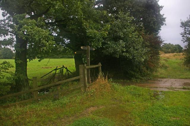
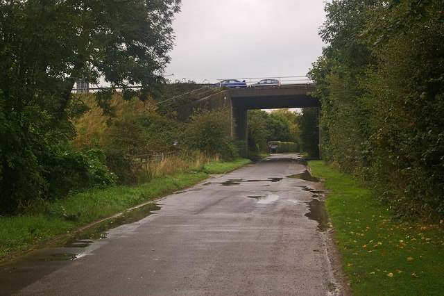
The Plantation offers a range of recreational activities for visitors of all ages. The well-maintained footpaths and cycling routes make it an ideal destination for outdoor enthusiasts looking to hike, jog, or cycle through the scenic environment. There are also designated picnic areas and open spaces for families and friends to gather and enjoy a leisurely day out.
For those interested in history, The Plantation holds some historical significance. It was once a part of the sprawling estate owned by the renowned Chilworth Gunpowder Mills, which played a crucial role in the Industrial Revolution. Today, remnants of the mill can still be found within the woodland, providing a glimpse into the past.
Overall, The Plantation, Surrey (Wood, Forest) offers a captivating blend of natural beauty, recreational opportunities, and historical significance, making it a must-visit destination for anyone seeking a tranquil retreat in the heart of Surrey.
If you have any feedback on the listing, please let us know in the comments section below.
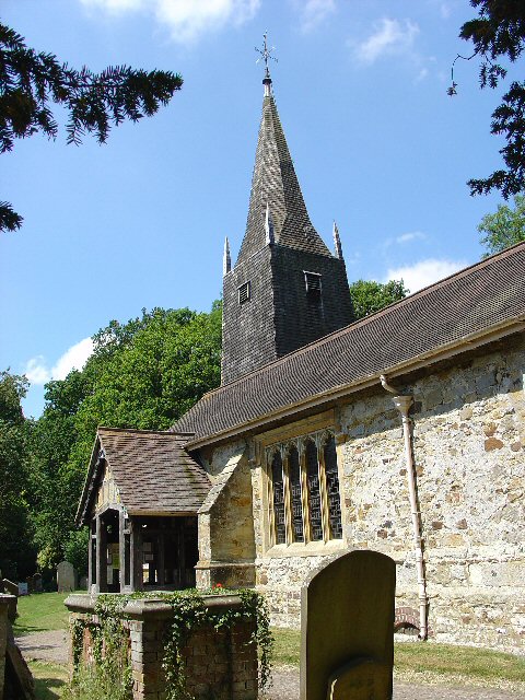
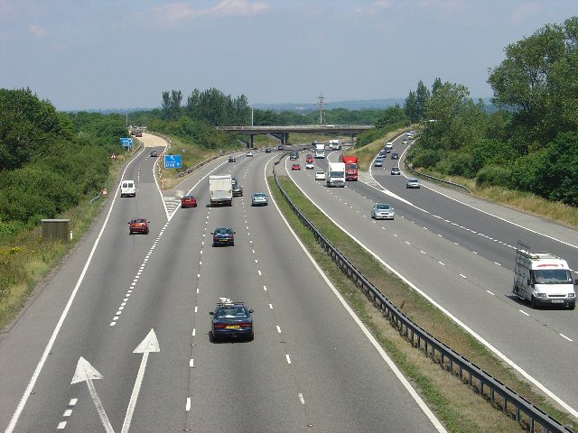
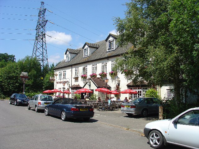
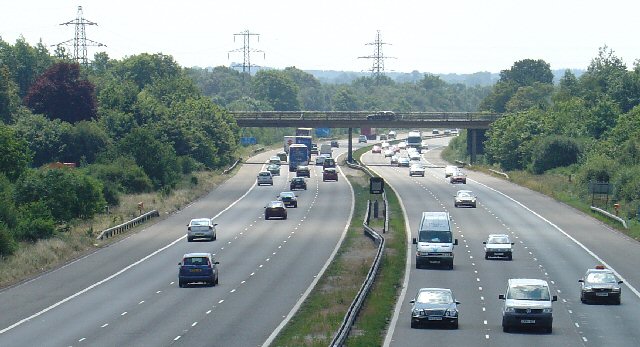
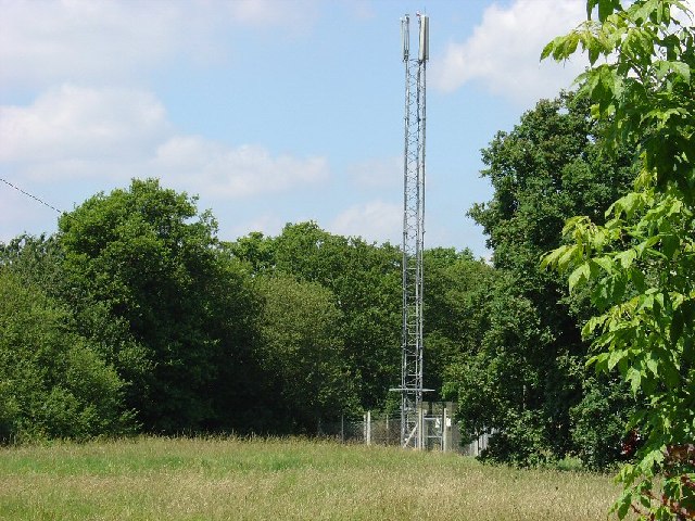
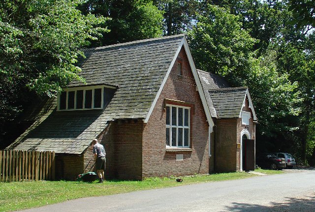
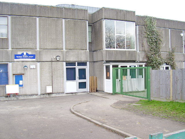
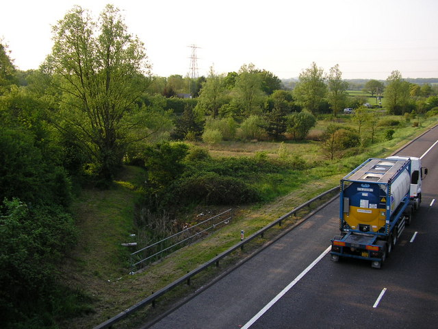
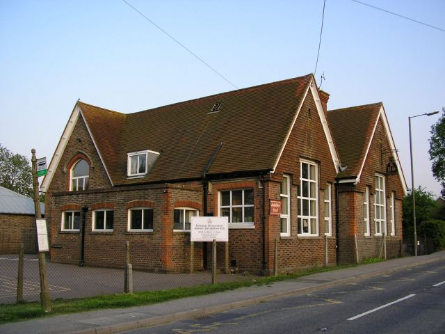
The Plantation Images
Images are sourced within 2km of 51.162854/-0.14153731 or Grid Reference TQ3042. Thanks to Geograph Open Source API. All images are credited.

The Plantation is located at Grid Ref: TQ3042 (Lat: 51.162854, Lng: -0.14153731)
Administrative County: Surrey
District: Reigate and Banstead
Police Authority: Surrey
What 3 Words
///descended.crisis.goods. Near Horley, Surrey
Nearby Locations
Related Wikis

Fernhill, West Sussex
Fernhill is a hamlet close to Gatwick Airport in West Sussex, England. Its fields and farmhouses formerly straddled the county boundary between Surrey...

Ariana Afghan Airlines Flight 701
Ariana Afghan Airlines Flight 701 was the flight involved in a fatal air accident on 5 January 1969, when a Boeing 727 with 62 people on board crashed...
Oakwood School, Horley
Oakwood School is a community secondary school located in Horley, Surrey, England. It is co-educational and caters for students in the 11–16 age range...

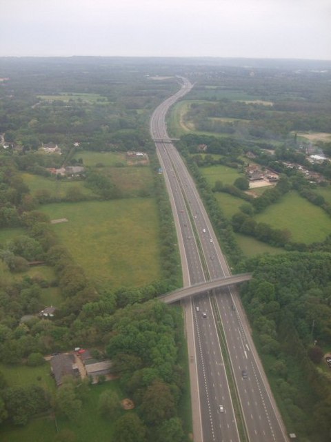
Horley railway station
Horley railway station serves the town of Horley in Surrey, England. It is on the Brighton Main Line, 25 miles 60 chains (41.4 km) down the line from London...
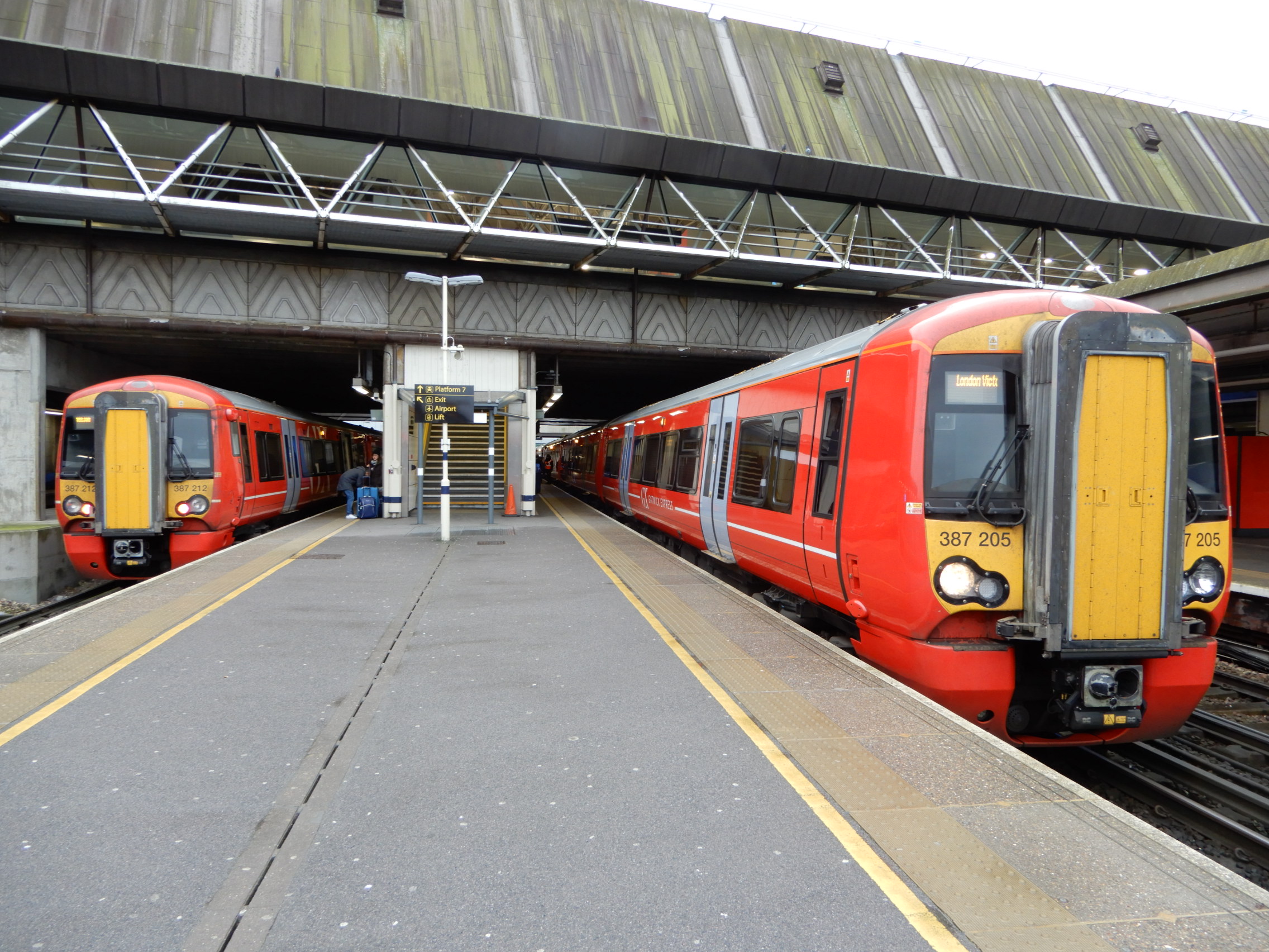
Gatwick Airport railway station
Gatwick Airport railway station is on the Brighton Main Line in West Sussex, England. It serves Gatwick Airport, 26 miles 47 chains (42.8 km) down the...
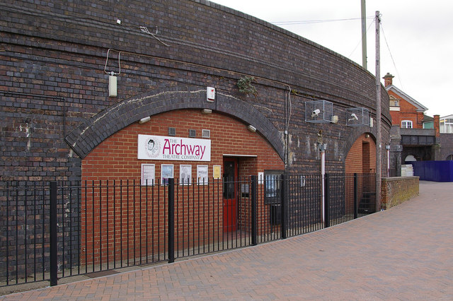
Archway Theatre
The Archway Theatre is a unique amateur theatre based in Horley, Surrey, United Kingdom. It is operated by a membership organisation, the Archway Theatre...
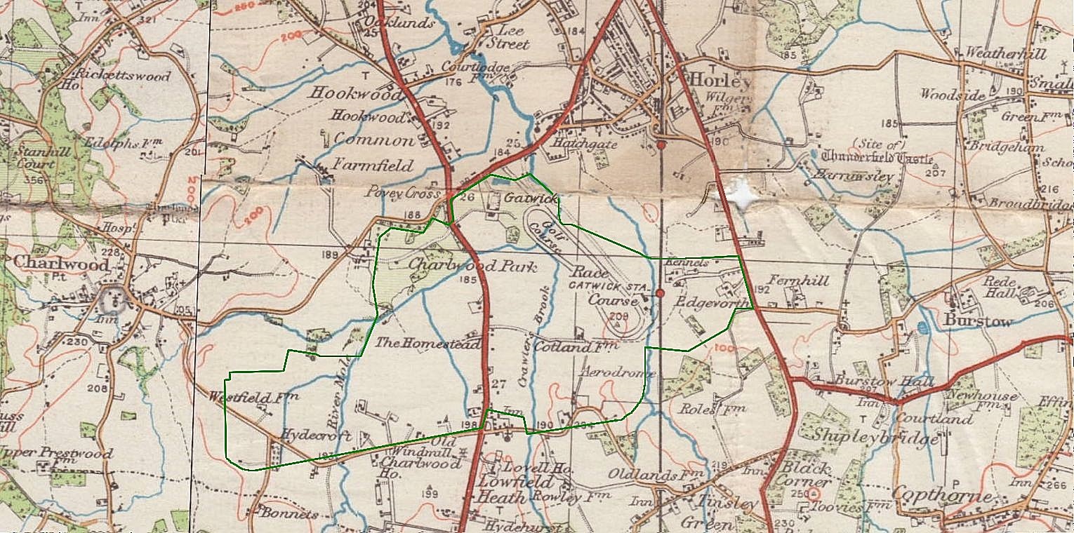
Gatwick Racecourse
Gatwick Racecourse was a racecourse in the county of Surrey, England near to Horley and Lowfield Heath. It was in use from 1891 to 1940 when it was closed...
Gatwick Airport Up sidings
Gatwick Airport Up sidings are located near London Gatwick Airport, Crawley, England, situated on the Brighton Main Line south of Gatwick Airport station...
Nearby Amenities
Located within 500m of 51.162854,-0.14153731Have you been to The Plantation?
Leave your review of The Plantation below (or comments, questions and feedback).