Moat Wood
Wood, Forest in Middlesex
England
Moat Wood
Moat Wood is a small forest located in Middlesex, England. Spanning approximately 100 acres, it is a popular destination for nature enthusiasts and locals seeking outdoor activities. The wood is named after the moat that once surrounded a nearby manor house, which has long since disappeared.
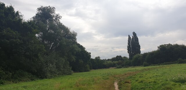
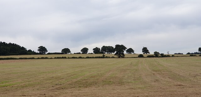
The forest is characterized by a diverse range of tree species, including oak, beech, and ash, creating a rich and vibrant ecosystem. The canopy provides shelter to various bird species, making it a haven for birdwatchers. Additionally, the undergrowth supports a variety of wildflowers and ferns, adding to the wood's natural beauty.
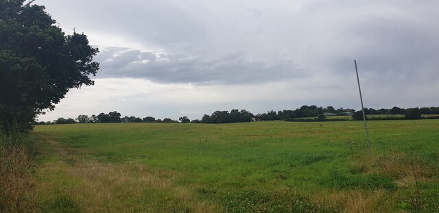
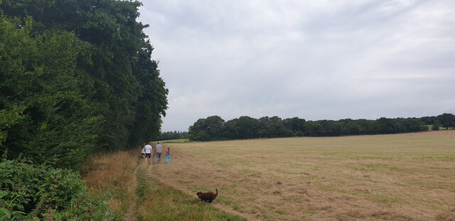
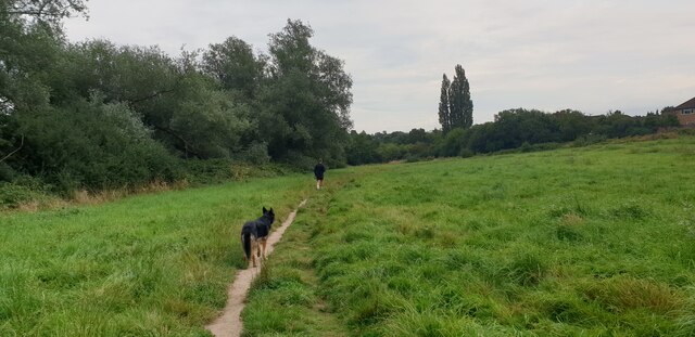
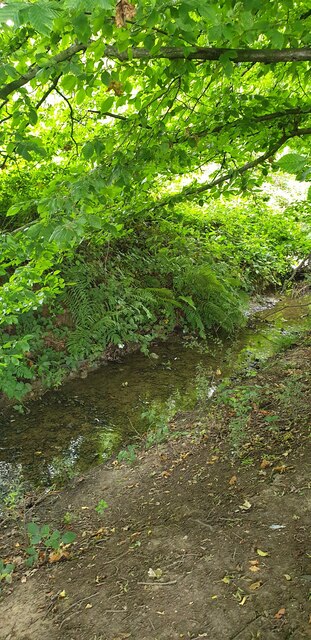
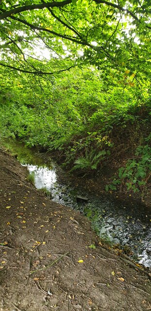
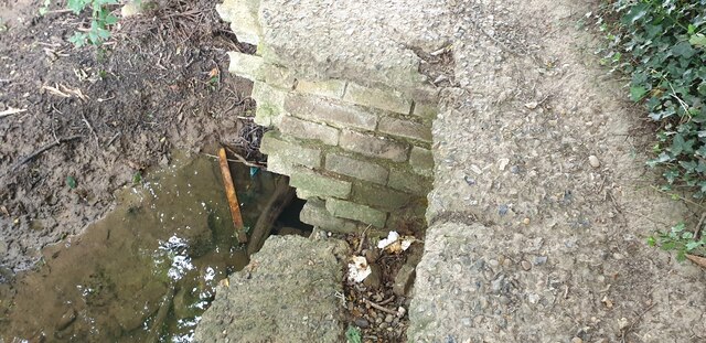
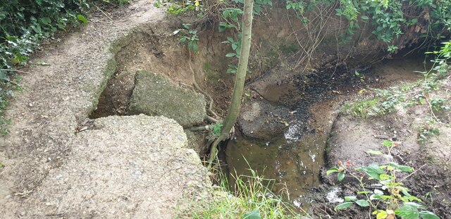
There are several walking trails that wind through Moat Wood, allowing visitors to explore the area at their own pace. These paths are well-maintained and easy to navigate, making it accessible to individuals of all ages and fitness levels. Along the way, hikers may stumble upon small streams and ponds, enhancing the tranquil atmosphere of the forest.
Moat Wood is not only a place for leisure activities but also serves as an important habitat for wildlife. It is home to numerous mammals, including deer, foxes, and rabbits, as well as a diverse range of insects and reptiles. The wood's proximity to other natural areas and green spaces further contributes to its ecological significance.
Overall, Moat Wood offers a peaceful retreat from the bustling city life of Middlesex. Its natural beauty, diverse wildlife, and well-maintained trails make it a perfect destination for nature lovers and those seeking solace in the great outdoors.
If you have any feedback on the listing, please let us know in the comments section below.
Moat Wood Images
Images are sourced within 2km of 51.666374/-0.13899282 or Grid Reference TQ2898. Thanks to Geograph Open Source API. All images are credited.


Moat Wood is located at Grid Ref: TQ2898 (Lat: 51.666374, Lng: -0.13899282)
Unitary Authority: Enfield
Police Authority: Metropolitan
What 3 Words
///bounty.humble.talent. Near Hadley Wood, London
Nearby Locations
Related Wikis

Trent Park
Trent Park is an English country house, together with its former extensive grounds, in north London. The original great house and a number of statues and...

Southgate Hockey Centre
Southgate Hockey Centre is a sports ground in Trent Park in North London, near Oakwood. The Centre is home to Southgate Hockey Club and Trent Park Running...

Southgate Hockey Club
Southgate Hockey Club is a field hockey club based at Southgate Hockey Centre in Trent Park, near Oakwood in London.The men's 1st XI play in the Men's...

Cockfosters Water Tower
The Cockfosters Water Tower is a water tower in Cockfosters Road, north London, on the edge of Trent Park, that is known for its hyperboloid structure...

Botany Bay, London
Botany Bay is a hamlet in Enfield, England, on the outskirts of north London, located within the London Borough of Enfield. It has a population close to...
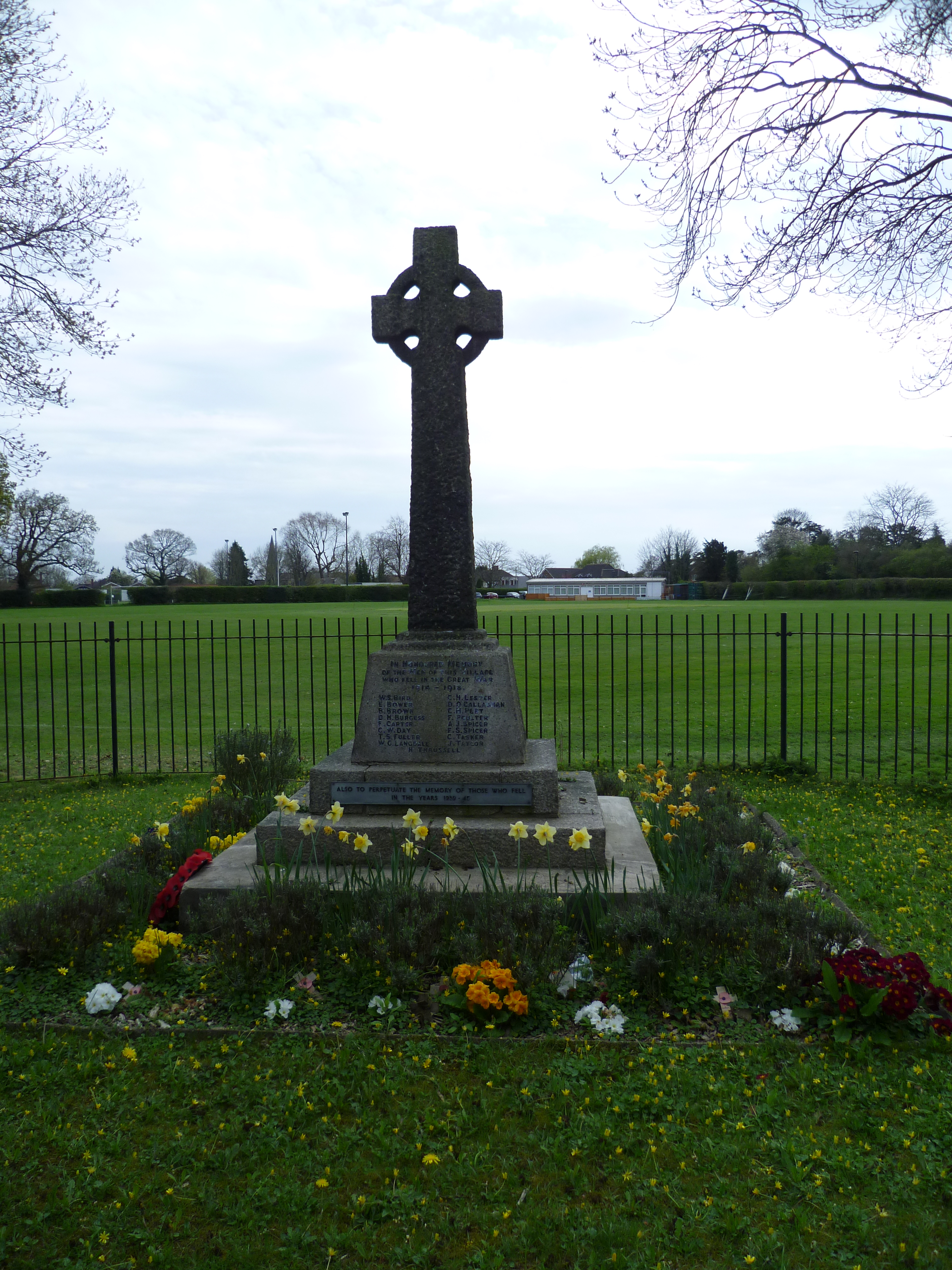
Cockfosters War Memorial
The Cockfosters War Memorial is located at the junction of Chalk Lane and Cockfosters Road in Cockfosters, London. It commemorates the men of the district...
Trent Park Cemetery
Trent Park Cemetery is a cemetery run by the Islington and Camden Cemetery Services located in Cockfosters Road, Cockfosters, north London. It is adjacent...
Cockfosters F.C.
Cockfosters Football Club is a football club based in Cockfosters in the London Borough of Enfield, England. They are currently members of the Spartan...
Nearby Amenities
Located within 500m of 51.666374,-0.13899282Have you been to Moat Wood?
Leave your review of Moat Wood below (or comments, questions and feedback).