The Furze

Wood, Forest in Yorkshire

England

The Furze

Cliff Crumble The incessant submission to the sea of the Holderness cliffs continues apace - particularly at this time of the year.  A photo of the cliffs in this square taken by a previous Geograph submitter in 2005, shows a road running parallel to the cliff edge.  A rough estimate means that the road will now be at least 50 metres "over the cliff" in just the 16 years that have gone by since then!
Cliff Crumble Credit: Andy Beecroft

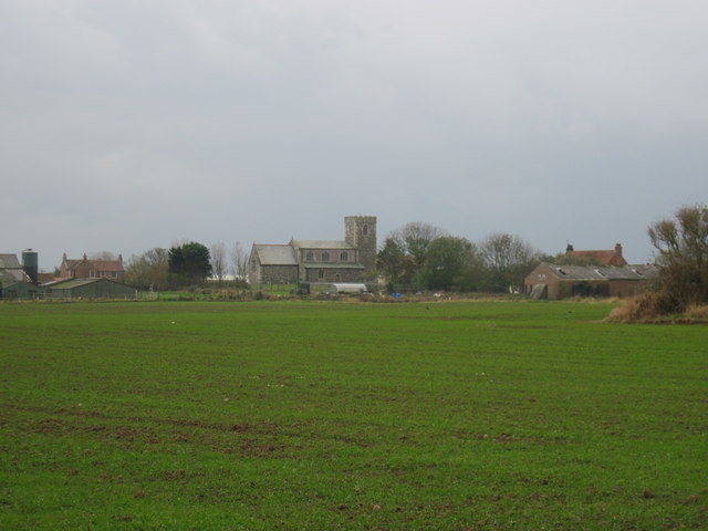
The Furze is a serene woodland area located in Yorkshire, England. Nestled amidst the picturesque countryside, it is a haven for nature enthusiasts and those seeking a tranquil escape from the bustling city life.

Covering an expansive area, The Furze is characterized by dense thickets of furze, a type of flowering shrub that dominates the landscape. The vibrant yellow blossoms of the furze create a striking contrast against the lush greenery, adding a touch of beauty to the surroundings. The woodland is also home to a variety of other plant species, including oak, birch, and holly trees, which further enhance its natural charm.

As visitors wander along the well-maintained trails that wind through the area, they can witness a plethora of wildlife. The Furze is a sanctuary for various bird species, with melodious songs filling the air. Squirrels can be spotted darting among the branches, while rabbits and other small mammals scurry through the undergrowth.

The woodland offers an ideal setting for recreational activities such as hiking, jogging, and birdwatching. There are designated picnic areas where visitors can relax and enjoy the serene ambiance while indulging in a packed lunch. The Furze also features a network of paths that are wheelchair accessible, ensuring that everyone can explore and appreciate the natural wonders it has to offer.

Overall, The Furze in Yorkshire is a remarkable woodland retreat where visitors can immerse themselves in the beauty of nature and experience a true sense of peace and tranquility.

If you have any feedback on the listing, please let us know in the comments section below.
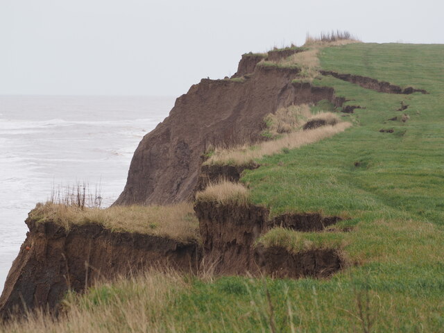
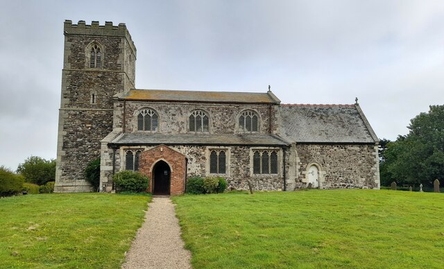
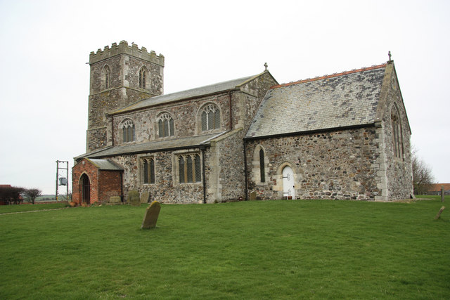
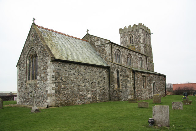
The Furze Images

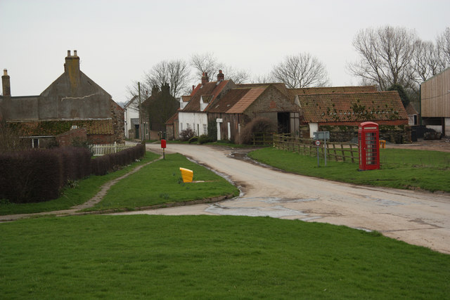
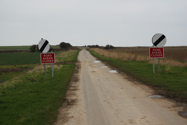
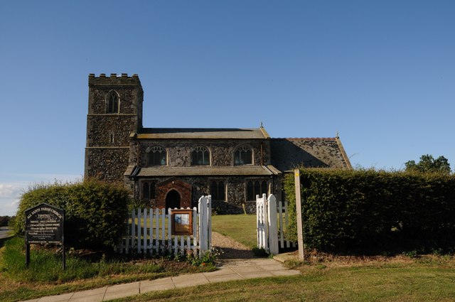
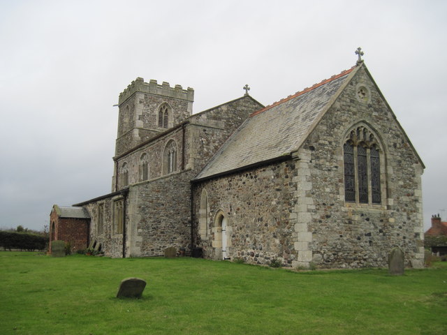
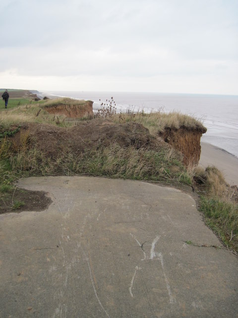
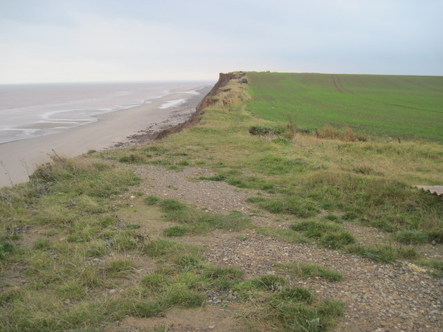
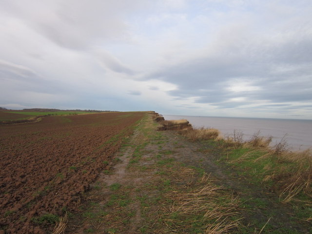
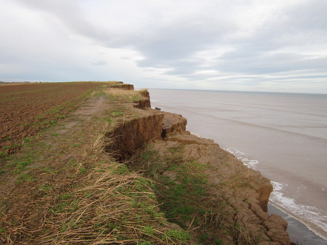
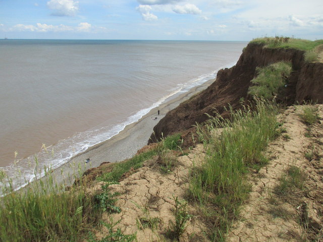
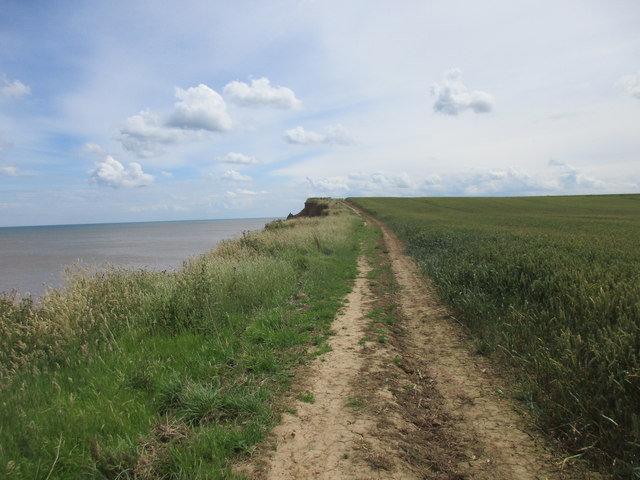
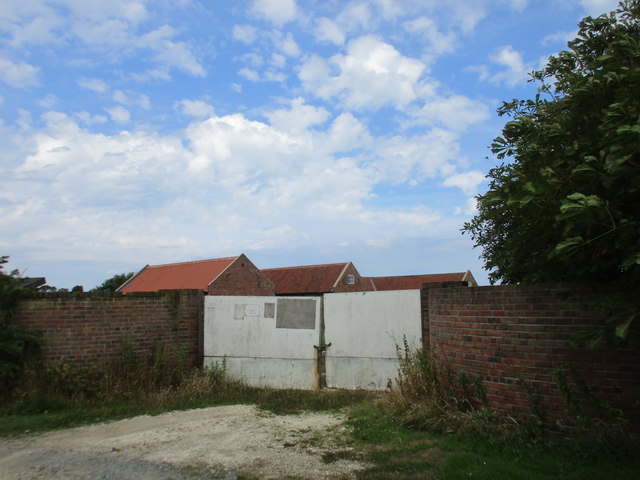
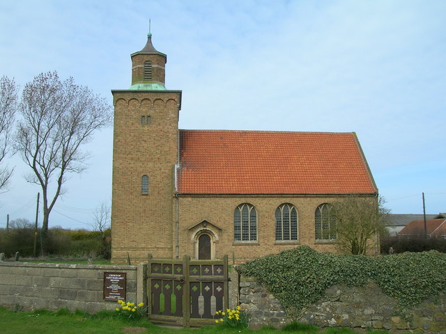
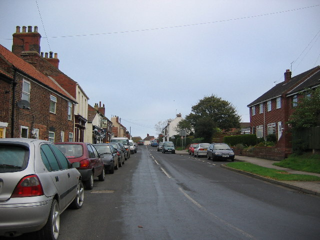
Images are sourced within 2km of 53.774574/-0.046768935 or Grid Reference TA2832. Thanks to Geograph Open Source API. All images are credited.

Cliff Crumble The incessant submission to the sea of the Holderness cliffs continues apace - particularly at this time of the year.  A photo of the cliffs in this square taken by a previous Geograph submitter in 2005, shows a road running parallel to the cliff edge.  A rough estimate means that the road will now be at least 50 metres "over the cliff" in just the 16 years that have gone by since then!
Cliff Crumble
The incessant submission to the sea of the Holderness cliffs continues apace - particularly at this time of the year. A photo of the cliffs in this square taken by a previous Geograph submitter in 2005, shows a road running parallel to the cliff edge. A rough estimate means that the road will now be at least 50 metres "over the cliff" in just the 16 years that have gone by since then!
All Saints Church, Tunstall The church has a chancel, aisled nave and west tower. It is built of boulders with ashlar dressings, 13th-century but with 12th-century masonry in the chancel. There is herringbone masonry. Many walls in the village use cobbles in this way too.
All Saints Church, Tunstall
The church has a chancel, aisled nave and west tower. It is built of boulders with ashlar dressings, 13th-century but with 12th-century masonry in the chancel. There is herringbone masonry. Many walls in the village use cobbles in this way too.
All Saints' church Now just 580m from the North Sea, All Saints' church would have been several miles from the coast when the 13th century chancel was built. The nave and lower stages of the tower are 14th century with a 15th century crenelated top to the tower.
All Saints' church
Now just 580m from the North Sea, All Saints' church would have been several miles from the coast when the 13th century chancel was built. The nave and lower stages of the tower are 14th century with a 15th century crenelated top to the tower.
Main Street Main Street in Tunstall from All Saints' churchyard
Main Street
Main Street in Tunstall from All Saints' churchyard
Pastures Lane Once the road from Tunstall to Monkwith, now lost to coastal erosion and the road ends abruptly over the cliff edge further on <a title="https://www.geograph.org.uk/photo/1257863" href="https://www.geograph.org.uk/photo/1257863">Link</a> hence the road closure
Pastures Lane
Once the road from Tunstall to Monkwith, now lost to coastal erosion and the road ends abruptly over the cliff edge further on Link hence the road closure
All Saints' Church All Saints' Church in the village of Tunstall, East Yorkshire, England.
All Saints' Church
All Saints' Church in the village of Tunstall, East Yorkshire, England.
All  Saints  Church
All Saints Church
Over  fields  to  Tunstall  Village All Saints Church and Church Farm to the left,from the footpath to the cliff top
Over fields to Tunstall Village
All Saints Church and Church Farm to the left,from the footpath to the cliff top
A  Footpath  on  the  Edge A regular sight on this coast, erosion goes on at an alarming rate, this footpath will be six foot into the field next year.The coastguard house can be seen in the distance.
A Footpath on the Edge
A regular sight on this coast, erosion goes on at an alarming rate, this footpath will be six foot into the field next year.The coastguard house can be seen in the distance.
Pasture  Lane  swallowed  by  Erosion
Pasture Lane swallowed by Erosion
Pasture  Lane  has  gone  to  Sea Taken from the end of Hogsea Lane it turned south here into Pasture Lane which went to Tunstall.Take a look at some of the photos in this square showing Pasture Lane, this section is now in the sea.
Pasture Lane has gone to Sea
Taken from the end of Hogsea Lane it turned south here into Pasture Lane which went to Tunstall.Take a look at some of the photos in this square showing Pasture Lane, this section is now in the sea.
Fly tipping on Hogsea Lane
Walking north from Hogsea Lane
Fishing below the cliff Of Pasture Lane that once used to run close to the cliff top there is now no sign. All has succumbed to the sea.
Fishing below the cliff
Of Pasture Lane that once used to run close to the cliff top there is now no sign. All has succumbed to the sea.
Cliff top path The road which even recent OS maps mark has been lost to the sea. Even this path is perilously close at times. Much of it will probably be gone after next winter.
Cliff top path
The road which even recent OS maps mark has been lost to the sea. Even this path is perilously close at times. Much of it will probably be gone after next winter.
Conversion suspended The farm buildings which stand behind these gates are being converted to dwellings but nothing much seems to be happening at the moment.
Conversion suspended
The farm buildings which stand behind these gates are being converted to dwellings but nothing much seems to be happening at the moment.
Show me another place!

The Furze is located at Grid Ref: TA2832 (Lat: 53.774574, Lng: -0.046768935)

Division: East Riding

Unitary Authority: East Riding of Yorkshire

Police Authority: Humberside

What 3 Words

///chopper.ribs.tightest. Near Roos, East Yorkshire

Nearby Locations

The Furze West Furze

Related Wikis

Hilston

Hilston is a village in the civil parish of Roos, in the East Riding of Yorkshire, England, near the North Sea coast in an area known as Holderness. It...

Owstwick

Owstwick is a hamlet in the civil parish of Roos, in the East Riding of Yorkshire, England, in an area known as Holderness. It is approximately 11 miles...

Tunstall, East Riding of Yorkshire

Tunstall is a village in the civil parish of Roos, in Holderness, in the East Riding of Yorkshire, England, close to the North Sea coast. It is situated...

Roos

Roos is a village and civil parish in the East Riding of Yorkshire, England. It is situated 12 miles (19 km) east from Kingston upon Hull city centre and...

Have you been to The Furze?

Leave your review of The Furze below (or comments, questions and feedback).