Churchlands Plantation
Wood, Forest in Yorkshire
England
Churchlands Plantation

Churchlands Plantation is a sprawling woodland located in the picturesque region of Yorkshire, England. Situated on the outskirts of the idyllic village of Churchlands, this plantation covers a vast area of pristine natural beauty. The plantation is primarily composed of various species of trees, creating a dense forest that is a haven for wildlife and a popular destination for nature enthusiasts.
The woodland is characterized by its diverse ecosystem, with a mixture of deciduous and coniferous trees dotting the landscape. Towering oak, beech, and birch trees provide a majestic canopy, while spruce and pine trees add a touch of green throughout the year. The forest floor is covered in a vibrant carpet of ferns, mosses, and wildflowers, creating a magical atmosphere.
Visitors to Churchlands Plantation can expect to find an extensive network of walking trails that wind through the woodland, offering breathtaking views of the surrounding countryside. These paths cater to all levels of fitness and are perfect for leisurely strolls or more adventurous hikes. Nature enthusiasts will be delighted by the abundance of wildlife that call this plantation home, including deer, rabbits, squirrels, and a variety of bird species.
The plantation is not only a haven for nature lovers but also serves as an important ecological site. It plays a crucial role in maintaining the local ecosystem and acts as a carbon sink, contributing to the fight against climate change.
Churchlands Plantation in Yorkshire is a true gem, offering a tranquil escape from the hustle and bustle of daily life and a chance to reconnect with nature in all its glory.
If you have any feedback on the listing, please let us know in the comments section below.
Churchlands Plantation Images
Images are sourced within 2km of 53.710947/-0.050142239 or Grid Reference TA2825. Thanks to Geograph Open Source API. All images are credited.


Churchlands Plantation is located at Grid Ref: TA2825 (Lat: 53.710947, Lng: -0.050142239)
Division: East Riding
Unitary Authority: East Riding of Yorkshire
Police Authority: Humberside
What 3 Words
///former.enthused.harmless. Near Ottringham, East Yorkshire
Nearby Locations
Related Wikis

Winestead Hall
Winestead Hall was a large country house at Winestead in the East Riding of Yorkshire, England. == History == Sir Robert Hildyard, 2nd Baronet commissioned...
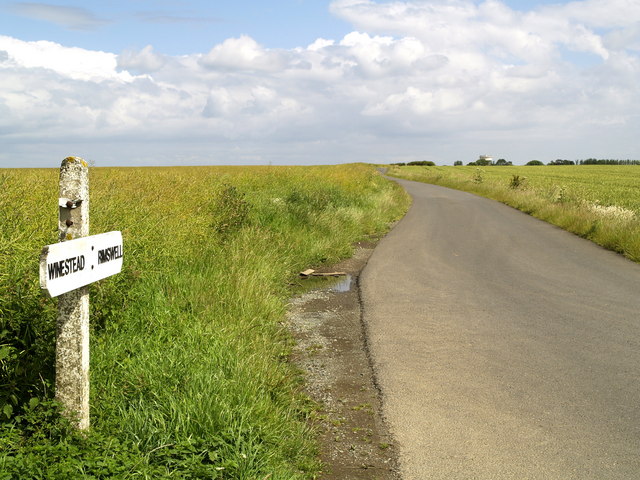
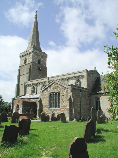
Winestead
Winestead is a village in the civil parish of Patrington, in the East Riding of Yorkshire, England, in an area known as Holderness. It is situated approximately...
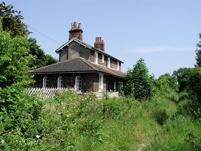
Ottringham railway station
Ottringham railway station is a disused railway station on the North Eastern Railway's Hull and Holderness Railway to the north of Ottringham, East Riding...

Halsham
Halsham is a village and civil parish in the East Riding of Yorkshire, England, in an area known as Holderness. It is situated approximately 4 miles...
Ottringham
Ottringham is a village and civil parish in the East Riding of Yorkshire, England, in an area known as Holderness. It is situated approximately 12 miles...
Winestead railway station
Winestead railway station is a disused railway station on the North Eastern Railway's Hull and Holderness Railway to the south of Winestead, East Riding...
Patrington Rural District
Patrington was a rural district in the East Riding of Yorkshire, England, from 1894 to 1935.The district formed the south-eastern part of the county, stretching...
Patrington railway station
Patrington railway station is a disused railway station on the North Eastern Railway's Hull and Holderness Railway in Patrington, East Riding of Yorkshire...
Nearby Amenities
Located within 500m of 53.710947,-0.050142239Have you been to Churchlands Plantation?
Leave your review of Churchlands Plantation below (or comments, questions and feedback).