Tenementfield Plantation
Wood, Forest in Sussex Mid Sussex
England
Tenementfield Plantation
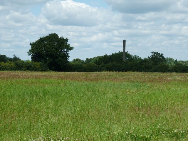
Tenementfield Plantation is a picturesque woodland located in Sussex, England. Spread across a sprawling area, it is known for its rich biodiversity and enchanting natural beauty. The plantation is situated in close proximity to the charming village of Wood, making it easily accessible for nature enthusiasts and visitors alike.
The woodland is primarily composed of a variety of tree species, including oak, beech, and birch, which create a vibrant and diverse ecosystem. The dense canopy provides ample shade and creates a serene atmosphere, making it an ideal destination for peaceful walks or picnics in nature.
Tenementfield Plantation is also home to an array of wildlife, with numerous species of birds, mammals, and insects thriving within its boundaries. Birdwatchers will be pleased to spot species such as woodpeckers, owls, and various songbirds, while animal lovers might catch a glimpse of squirrels, foxes, or even deer.
The plantation offers a network of well-maintained trails that wind through the woodland, allowing visitors to explore and immerse themselves in its natural wonders. These trails vary in difficulty, catering to both leisurely strolls and more challenging hikes. Along the way, visitors can enjoy the sights and sounds of babbling brooks, wildflowers, and sunlight filtering through the trees.
Tenementfield Plantation is open to the public year-round, with no entry fee. It is a popular destination for nature lovers, families, and photographers, offering a tranquil retreat from the hustle and bustle of everyday life. Whether one seeks solitude, wildlife spotting, or simply a breath of fresh air, Tenementfield Plantation is sure to captivate and inspire all who visit.
If you have any feedback on the listing, please let us know in the comments section below.
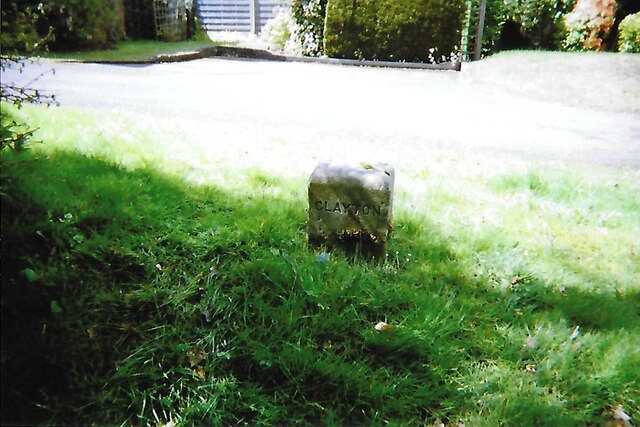
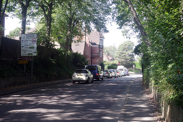
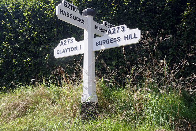
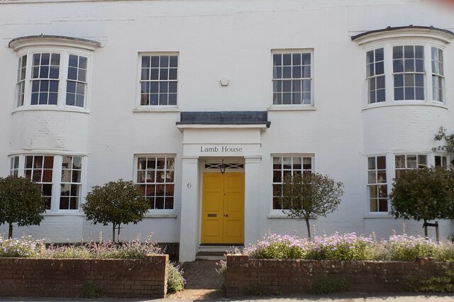
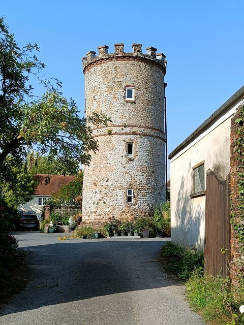
Tenementfield Plantation Images
Images are sourced within 2km of 50.928176/-0.1687934 or Grid Reference TQ2815. Thanks to Geograph Open Source API. All images are credited.

Tenementfield Plantation is located at Grid Ref: TQ2815 (Lat: 50.928176, Lng: -0.1687934)
Administrative County: West Sussex
District: Mid Sussex
Police Authority: Sussex
What 3 Words
///indoors.compress.tops. Near Hassocks, West Sussex
Nearby Locations
Related Wikis

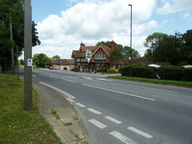
Hurst Wickham
Hurst Wickham is a village in the Mid Sussex District of West Sussex, England. It lies just off the B2116 road, 2.1 miles (3.4 km) southeast of Burgess...
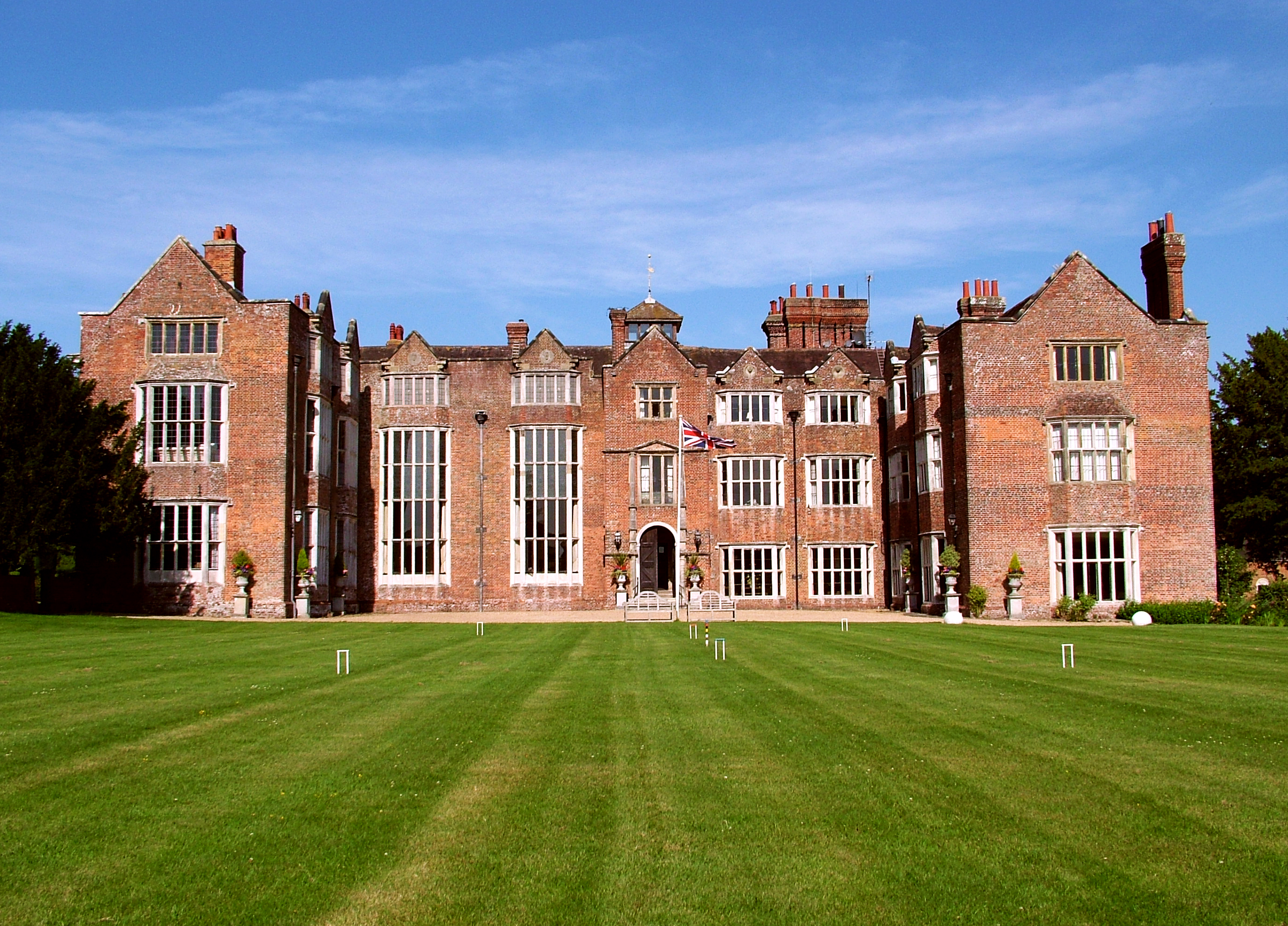
Danny House
Danny House is a Grade I listed Elizabethan red brick mansion near Hurstpierpoint in West Sussex, England. It lies at the northern foot of Wolstonbury...

Mansion House, Hurstpierpoint
Mansion House is a prominent and historically significant Grade II* listed Georgian village property in Hurstpierpoint, West Sussex, England. The substantial...
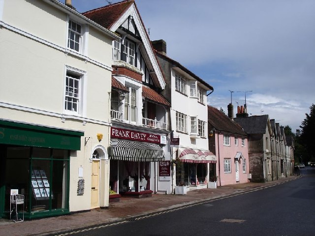
Hurstpierpoint
Hurstpierpoint is a village in West Sussex, England, 4 miles (6.4 km) southwest of Burgess Hill, and 1.5 miles (2.4 km) west of Hassocks railway station...

Hassocks
Hassocks is a village and civil parish in the Mid Sussex District of West Sussex, England. Its name is believed to derive from the tufts of grass found...
Hassocks F.C.
Hassocks Football Club is a football club based in Hassocks, near Brighton, West Sussex, England. The club is affiliated to the Sussex County Football...
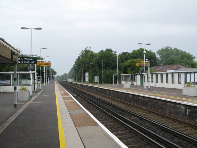
Hassocks railway station
Hassocks railway station is on the Brighton Main Line in England, serving the village of Hassocks, West Sussex. It is 43 miles 42 chains (70.0 km) down...

Hurstpierpoint College
Hurstpierpoint College is a public school (English private boarding and day school), located just north of the village of Hurstpierpoint, West Sussex....
Nearby Amenities
Located within 500m of 50.928176,-0.1687934Have you been to Tenementfield Plantation?
Leave your review of Tenementfield Plantation below (or comments, questions and feedback).