The Plantation
Wood, Forest in Sussex Mid Sussex
England
The Plantation
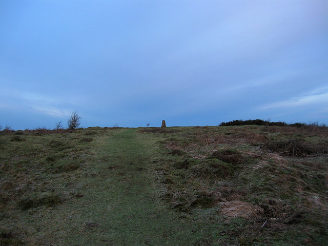
The Plantation in Sussex, also known as Wood or Forest Plantation, is a vast and picturesque woodland located in the county of Sussex, England. Spanning over a significant area, it offers a serene and tranquil environment for nature enthusiasts and outdoor lovers to explore.
The woodland is primarily composed of a diverse range of trees, including oak, beech, pine, and birch, creating a stunning and varied landscape. The Plantation is well-known for its dense tree cover, providing a haven for various wildlife species such as squirrels, deer, foxes, and a plethora of bird species.
The wood offers a multitude of walking trails and paths, making it an ideal destination for hikers and walkers. These trails allow visitors to immerse themselves in the natural beauty of the woodland, providing opportunities to observe the native flora and fauna. Additionally, the Plantation features designated picnic areas, making it a popular spot for families and groups to relax and enjoy a meal surrounded by nature.
The Plantation also offers educational and recreational activities, with guided nature walks and workshops organized throughout the year. These activities aim to provide visitors with a deeper understanding of the woodland ecosystem, its conservation, and the importance of sustainable practices.
Overall, The Plantation in Sussex is a cherished natural gem, offering a sanctuary of tranquility and natural beauty. Whether one seeks solitude amidst nature or an opportunity to learn and explore, this woodland is a must-visit destination for nature enthusiasts and those seeking a break from the hustle and bustle of everyday life.
If you have any feedback on the listing, please let us know in the comments section below.
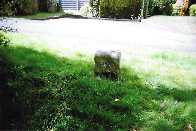
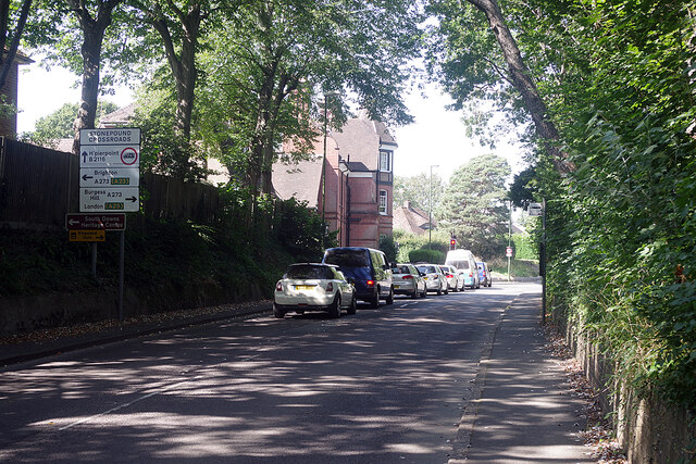
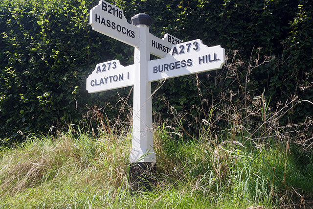
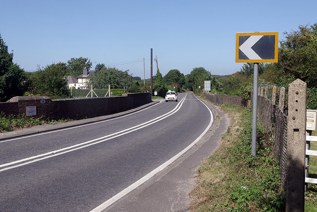
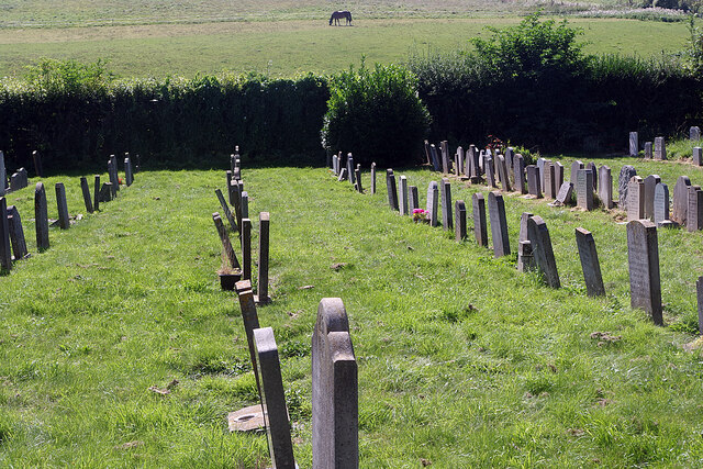
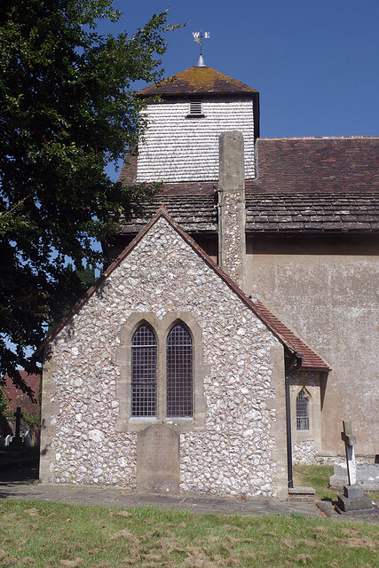
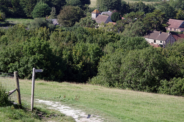
The Plantation Images
Images are sourced within 2km of 50.924104/-0.1712157 or Grid Reference TQ2815. Thanks to Geograph Open Source API. All images are credited.
The Plantation is located at Grid Ref: TQ2815 (Lat: 50.924104, Lng: -0.1712157)
Administrative County: West Sussex
District: Mid Sussex
Police Authority: Sussex
What 3 Words
///rots.overdrive.given. Near Hassocks, West Sussex
Nearby Locations
Related Wikis
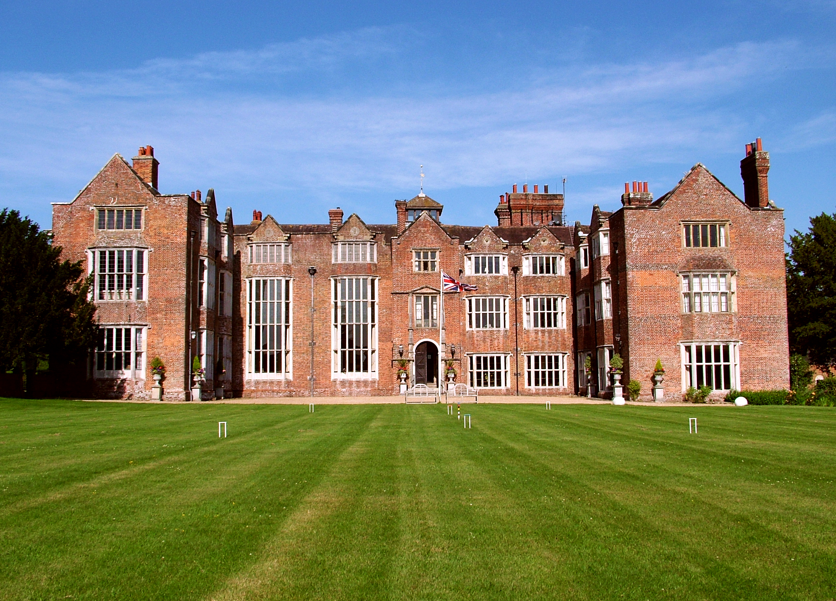
Danny House
Danny House is a Grade I listed Elizabethan red brick mansion near Hurstpierpoint in West Sussex, England. It lies at the northern foot of Wolstonbury...

Hurst Wickham
Hurst Wickham is a village in the Mid Sussex District of West Sussex, England. It lies just off the B2116 road, 2.1 miles (3.4 km) southeast of Burgess...

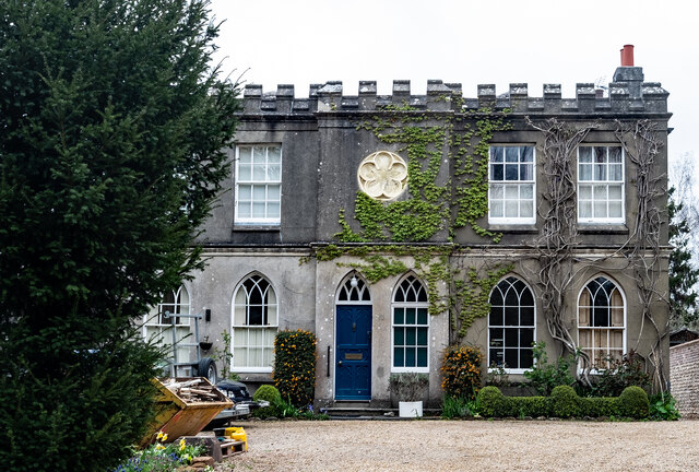
Mansion House, Hurstpierpoint
Mansion House is a prominent and historically significant Grade II* listed Georgian village property in Hurstpierpoint, West Sussex, England. The substantial...
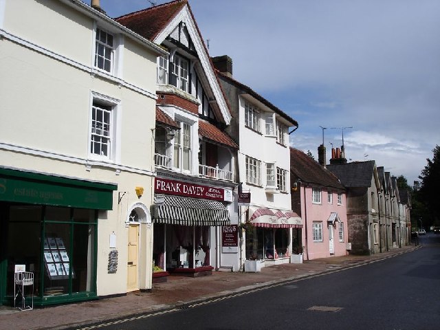
Hurstpierpoint
Hurstpierpoint is a village in West Sussex, England, 4 miles (6.4 km) southwest of Burgess Hill, and 1.5 miles (2.4 km) west of Hassocks railway station...

Hassocks
Hassocks is a village and civil parish in the Mid Sussex District of West Sussex, England. Its name is believed to derive from the tufts of grass found...
Hassocks F.C.
Hassocks Football Club is a football club based in Hassocks, near Brighton, West Sussex, England. The club is affiliated to the Sussex County Football...
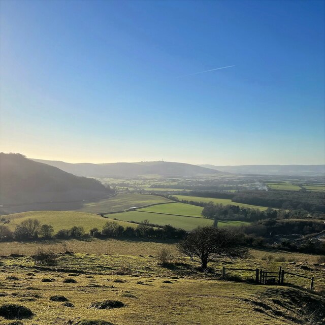
Wolstonbury Hill
Wolstonbury Hill is a 58.9-hectare (146-acre) biological Site of Special Scientific Interest south-west of in West Sussex. It is owned by the National...
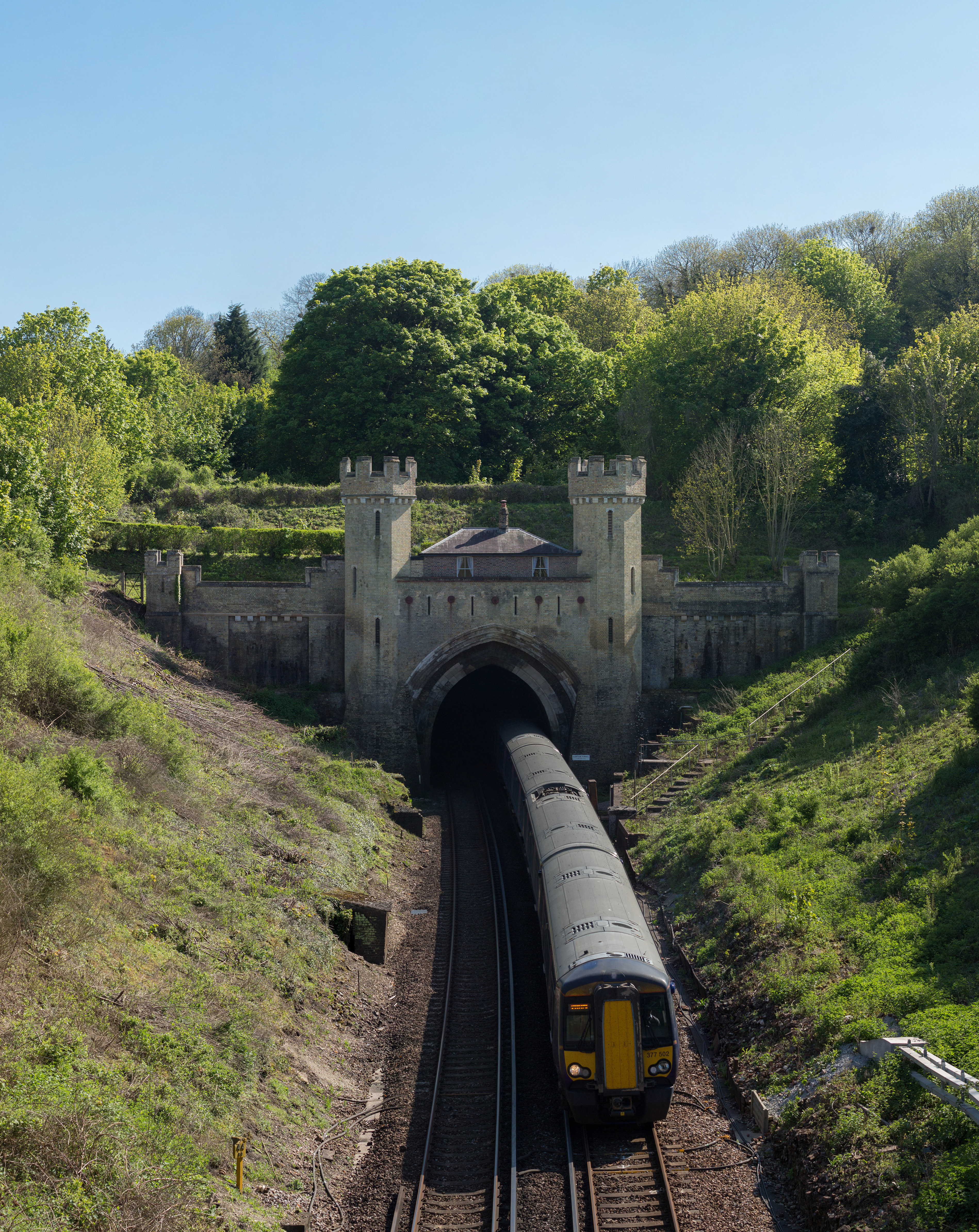
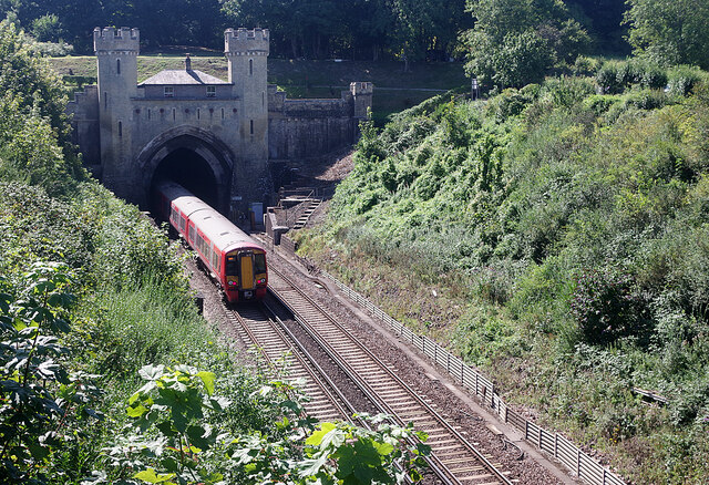
Clayton Tunnel
Clayton Tunnel is a railway tunnel located near the villages of Clayton and Pyecombe in West Sussex, between Hassocks and Preston Park railway stations...
Nearby Amenities
Located within 500m of 50.924104,-0.1712157Have you been to The Plantation?
Leave your review of The Plantation below (or comments, questions and feedback).