Jubilee Plantation
Wood, Forest in Lincolnshire East Lindsey
England
Jubilee Plantation
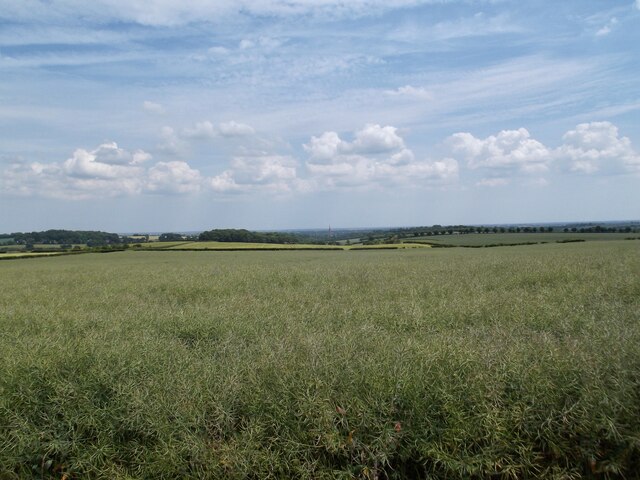
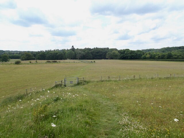
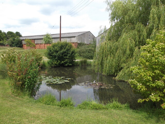
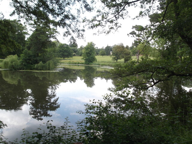
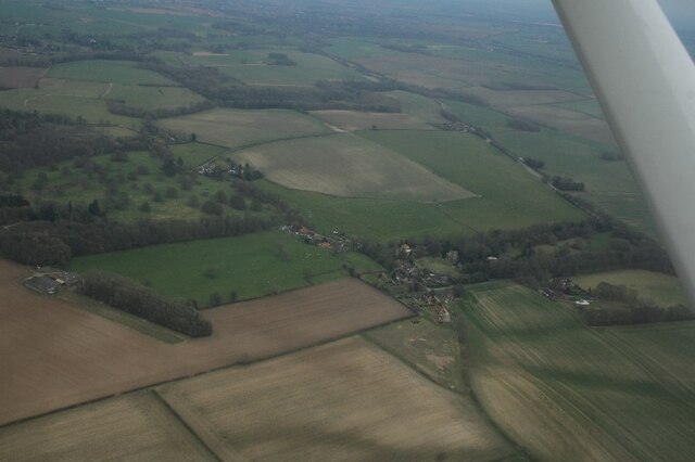
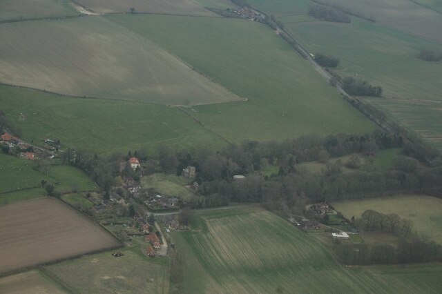
Jubilee Plantation is a stunning woodland located in Lincolnshire, England. Spread over a vast area, this plantation is a true haven for nature enthusiasts and outdoor lovers alike. It is situated in the heart of the county, surrounded by picturesque landscapes and rolling hills.
The plantation is primarily composed of a variety of trees, including oak, beech, and birch, which create a diverse and vibrant ecosystem. These trees provide a lush canopy, offering shade and shelter for a wide range of wildlife species. It is not uncommon to spot deer, rabbits, squirrels, and various species of birds within the woodland.
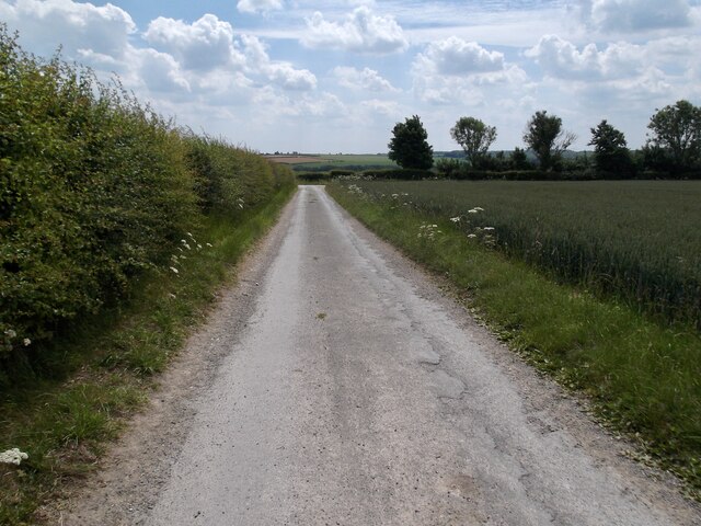
Jubilee Plantation is a popular destination for outdoor activities such as hiking, walking, and cycling. There are well-maintained trails that wind through the woods, offering visitors an opportunity to explore the natural beauty of the area. These paths are suitable for all ages and fitness levels, making it an ideal spot for a family day out.
In addition to its natural beauty, Jubilee Plantation also holds historical significance. The name "Jubilee" is derived from the Queen's Diamond Jubilee in 2012, marking 60 years of Queen Elizabeth II's reign. The plantation was created as part of the celebrations, with the planting of thousands of trees to commemorate this milestone.
Overall, Jubilee Plantation in Lincolnshire is a wonderful place to immerse oneself in nature and enjoy the tranquility of a beautiful woodland setting. Whether it's for an invigorating hike or a peaceful picnic, this plantation offers something for everyone to enjoy.
If you have any feedback on the listing, please let us know in the comments section below.
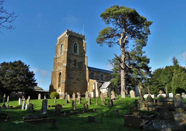
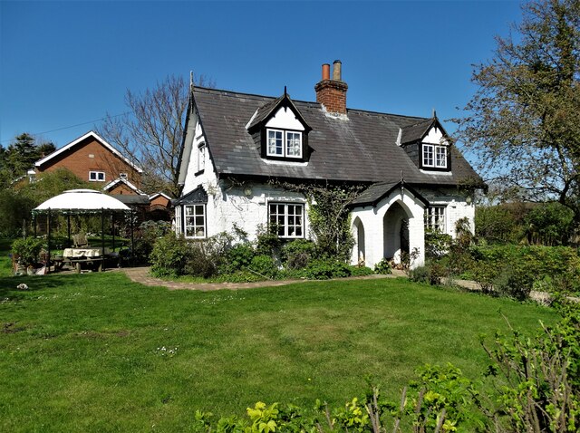
Jubilee Plantation Images
Images are sourced within 2km of 53.36683/-0.068253129 or Grid Reference TF2887. Thanks to Geograph Open Source API. All images are credited.


Jubilee Plantation is located at Grid Ref: TF2887 (Lat: 53.36683, Lng: -0.068253129)
Administrative County: Lincolnshire
District: East Lindsey
Police Authority: Lincolnshire
What 3 Words
///closets.redeeming.comic. Near Louth, Lincolnshire
Nearby Locations
Related Wikis

Welton Le Wold
Welton le Wold is a village and civil parish in the East Lindsey district of Lincolnshire, England. It is situated approximately 4 miles (6 km) west of...

Hallington
Hallington is a small village and civil parish in the East Lindsey district of Lincolnshire, England. It is situated 2 miles (3 km) south-west from the...

Hallington railway station
Hallington railway station was a station in Hallington, Lincolnshire. == History == The Great Northern Railway planned and built a branch line from Bardney...

Lincolnshire Wolds
The Lincolnshire Wolds are a range of low hills in the county of Lincolnshire, England which run roughly parallel with the North Sea coast, from the Humber...

Hubbard's Hills
Hubbard's Hills is an area of natural beauty directly to the west of Louth, Lincolnshire, England and is popular for family picnics, school field trips...

Acthorpe
Acthorpe is a hamlet in the East Lindsey district of Lincolnshire, England. It is situated approximately 2 miles (3 km) north-west from the town of Louth...

Raithby cum Maltby
Raithby cum Maltby is a civil parish in the East Lindsey district of Lincolnshire, England. It is situated about 1 mile (1.6 km) south-west from the market...

Withcall
Withcall is a small farming village and civil parish in the East Lindsey district of Lincolnshire, England. It lies within the Lincolnshire Wolds, and...
Related Videos


บรรยากาศยามเช้าที่ฟาร์ม | วิถีชนบทอังกฤษ | ASMR เสียงยามเช้า
มาฟังเสียงธรรมชาติยามเช้าวันอาทิตย์ที่ฟาร์มในอังกฤษ เำอความผ่อนคลายเพลิดเพลินด้วยกันจ้า.
Nearby Amenities
Located within 500m of 53.36683,-0.068253129Have you been to Jubilee Plantation?
Leave your review of Jubilee Plantation below (or comments, questions and feedback).