Larch Plantation
Wood, Forest in Lincolnshire East Lindsey
England
Larch Plantation
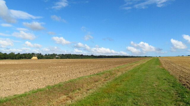
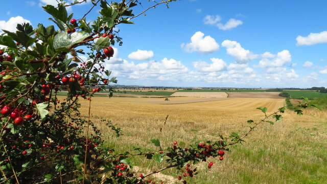
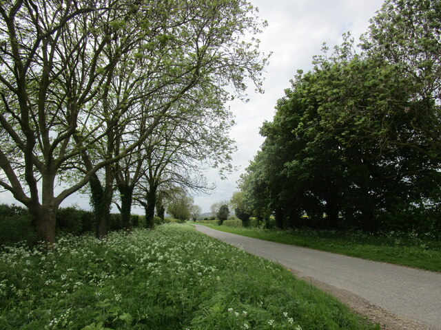
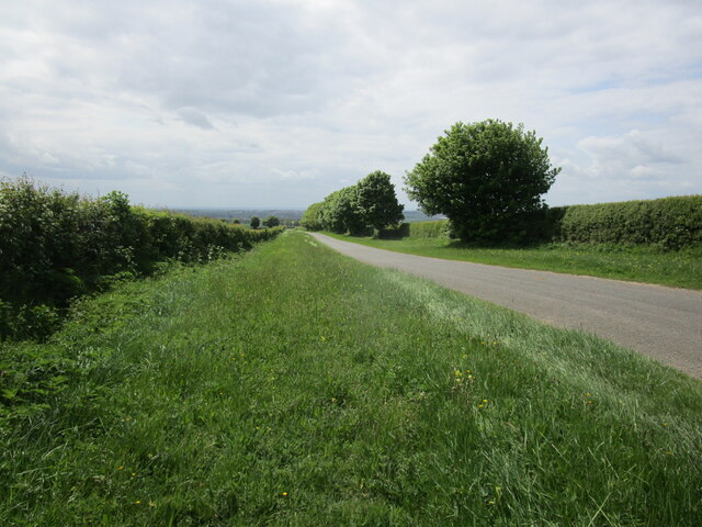
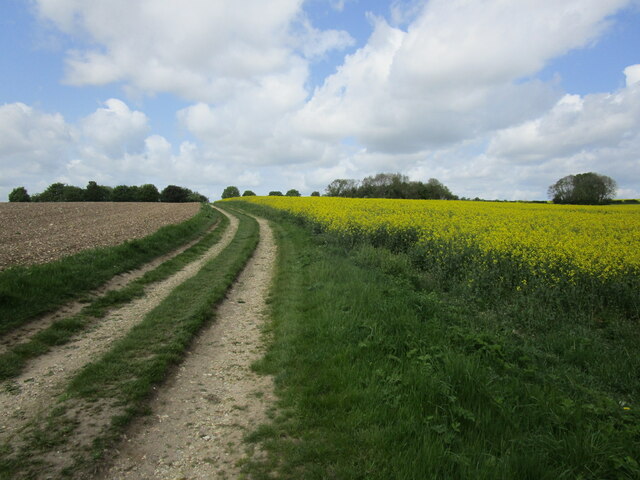
Larch Plantation is a notable woodland area located in Lincolnshire, England. It is a well-known forest that spans approximately 100 acres and is predominantly made up of larch trees, which are a species of coniferous trees known for their tall, slender trunks and needle-like leaves. The plantation is situated in a picturesque countryside setting, offering visitors a serene and peaceful environment.
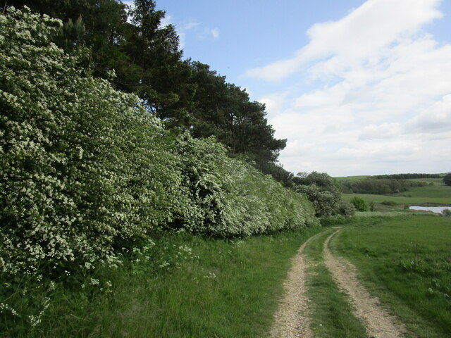
The larch trees in the plantation are of varying ages, with some reaching heights of over 100 feet. The dense canopy created by these trees provides an ideal habitat for a diverse range of wildlife, including numerous bird species, small mammals, and insects. The forest floor is covered with a thick layer of leaf litter, adding to the overall natural beauty of the area.
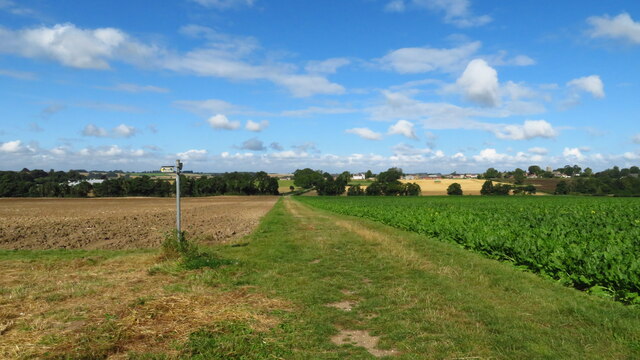
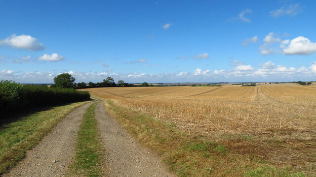
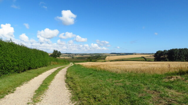
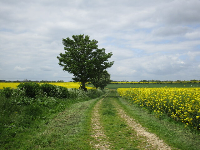
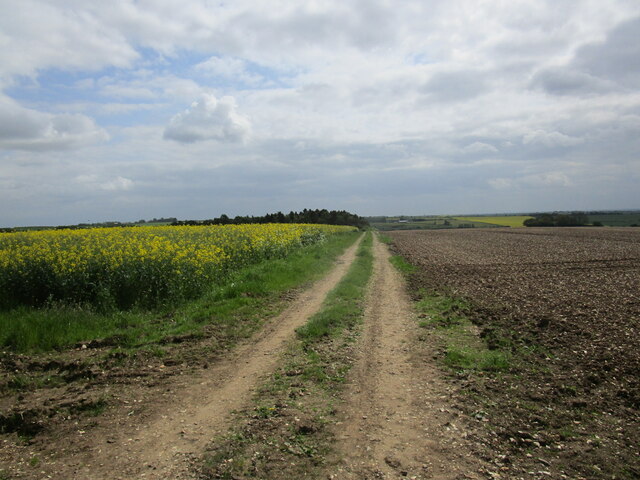
Larch Plantation is accessible to the public, with well-maintained footpaths and trails winding through the forest. These paths offer visitors the opportunity to explore and enjoy the natural surroundings, making it a popular destination for nature enthusiasts, hikers, and photographers.
The woodland is managed by the local forestry authority, ensuring the preservation of the plantation's ecological balance. Conservation efforts are implemented to protect the biodiversity of the area and maintain the health and vitality of the larch trees.
Overall, Larch Plantation in Lincolnshire is a stunning woodland area that showcases the beauty of nature. With its tall larch trees, diverse wildlife, and well-maintained trails, it provides a tranquil escape for individuals seeking to immerse themselves in the wonders of the natural world.
If you have any feedback on the listing, please let us know in the comments section below.
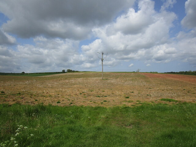
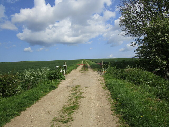
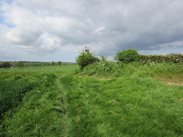
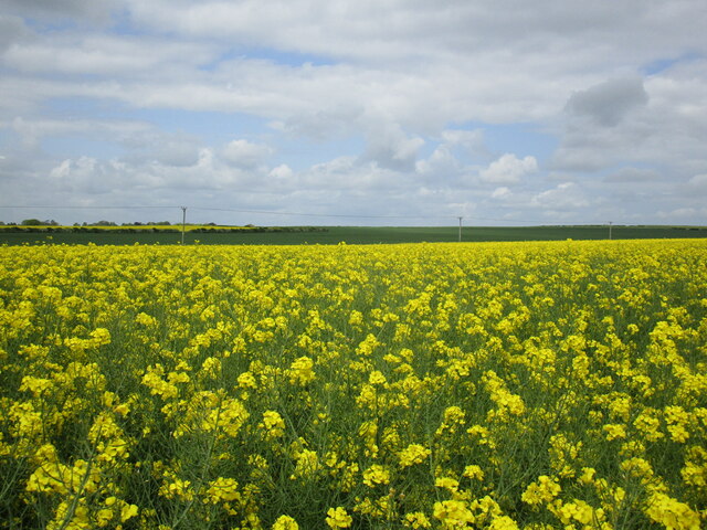
Larch Plantation Images
Images are sourced within 2km of 53.233365/-0.072889175 or Grid Reference TF2872. Thanks to Geograph Open Source API. All images are credited.

Larch Plantation is located at Grid Ref: TF2872 (Lat: 53.233365, Lng: -0.072889175)
Administrative County: Lincolnshire
District: East Lindsey
Police Authority: Lincolnshire
What 3 Words
///grid.suave.expanded. Near Horncastle, Lincolnshire
Nearby Locations
Related Wikis

Fulletby
Fulletby is a village and a civil parish in the East Lindsey district of Lincolnshire, England. It is in the Lincolnshire Wolds, and 3 miles (5 km) north...

Low Toynton
Low Toynton is a hamlet and civil parish in the East Lindsey district of Lincolnshire, England. The population of the civil parish (including Fulletby...

West Ashby
West Ashby is a village and civil parish in the East Lindsey district of Lincolnshire, England. It is situated on the Horncastle to Louth A153 road, and...

East Lindsey
East Lindsey is a local government district in Lincolnshire, England. Its council is based in Horncastle and the largest town is Skegness. Other towns...

High Toynton
High Toynton is a village and civil parish in the East Lindsey district of Lincolnshire, England. It is situated approximately 1.5 miles (2.4 km) east...

Greetham, Lincolnshire
Greetham ( GREET-əm) is a village and former civil parish, now in the parish of Greetham with Somersby, in the East Lindsey district of Lincolnshire, England...

Belchford
Belchford is a village and civil parish in the East Lindsey district of Lincolnshire, England. The village is situated approximately 4 miles (6 km) north...

A158 road
The A158 road is a major route that heads from Lincoln in the west to Skegness on the east coast. The road is located entirely in the county of Lincolnshire...
Nearby Amenities
Located within 500m of 53.233365,-0.072889175Have you been to Larch Plantation?
Leave your review of Larch Plantation below (or comments, questions and feedback).