Fishpond Holt
Wood, Forest in Lincolnshire East Lindsey
England
Fishpond Holt
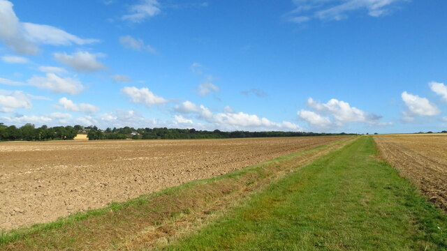
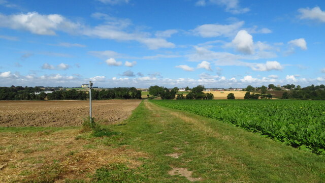
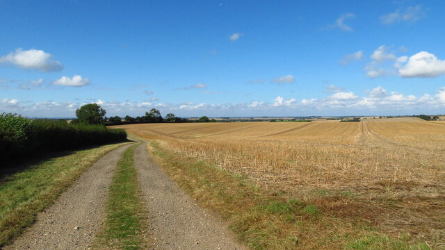
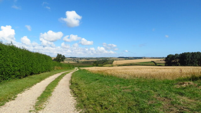
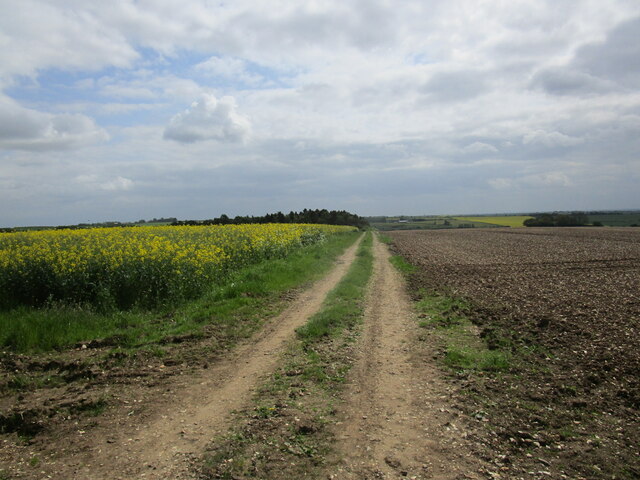
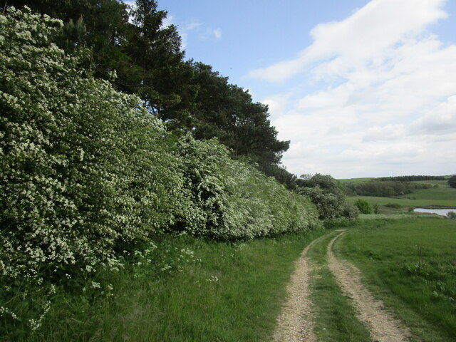
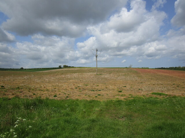
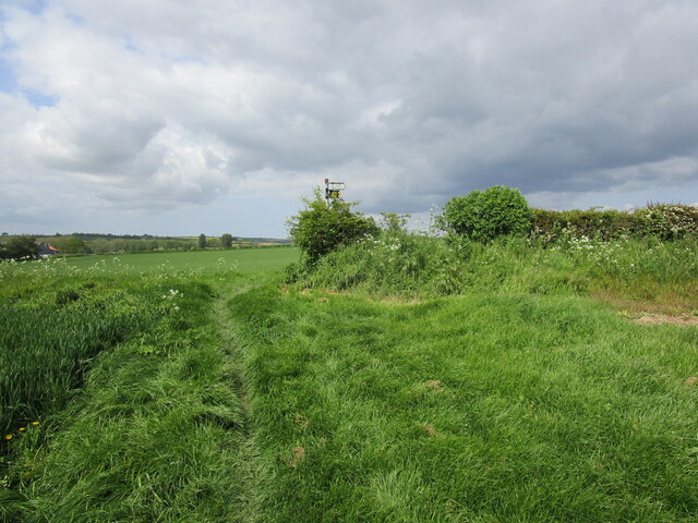
Fishpond Holt is a small woodland located in the county of Lincolnshire, England. Situated in the rural area of Holt, this forested area spans approximately 200 acres and is known for its picturesque beauty and rich biodiversity.
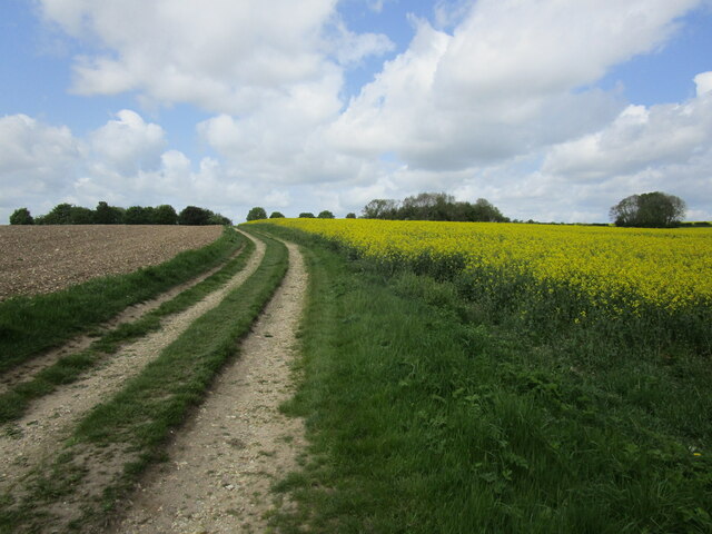
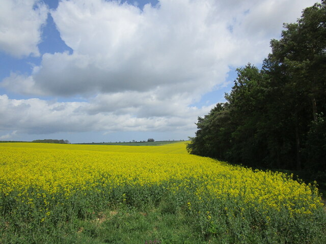
The woodland is primarily composed of a variety of deciduous and coniferous trees, including oak, beech, pine, and birch. These trees create a dense canopy that provides shade and a habitat for a diverse array of flora and fauna. The forest floor is carpeted with mosses, ferns, and wildflowers, adding a splash of color to the serene landscape.
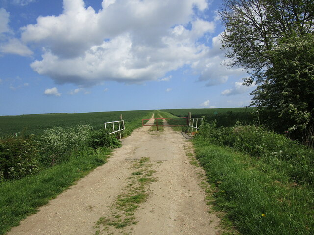
Fishpond Holt is intersected by several walking trails, allowing visitors to explore the woods and immerse themselves in nature. The trails are well-maintained and suitable for both casual strolls and more adventurous hikes. Along the way, visitors may encounter wildlife such as deer, squirrels, rabbits, and a wide variety of bird species.
The woodland is also home to a small pond, from which it takes its name. The pond is a tranquil spot, offering a peaceful setting for reflection and relaxation. It is teeming with aquatic life, including frogs, newts, and various species of fish.
Fishpond Holt is a popular destination for nature enthusiasts, hikers, and photographers. Its serene atmosphere, diverse ecosystem, and scenic beauty make it a haven for those seeking a respite from the hustle and bustle of urban life. Whether it's a leisurely walk through the woods or a quiet moment by the pond, Fishpond Holt offers a truly enchanting experience for all who visit.
If you have any feedback on the listing, please let us know in the comments section below.
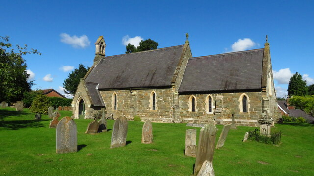
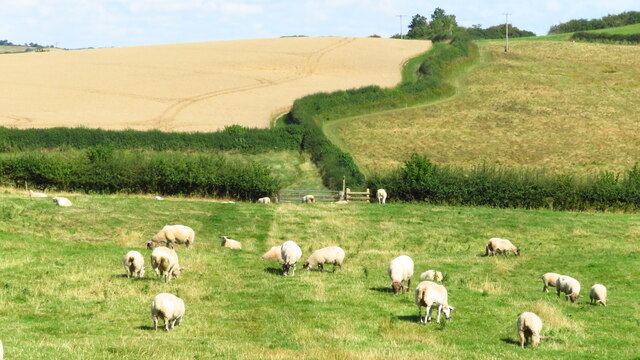
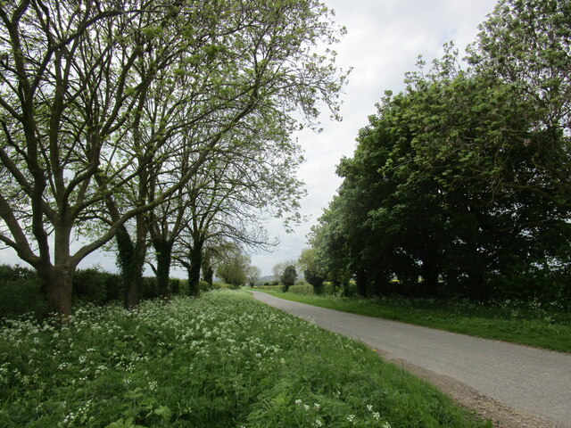
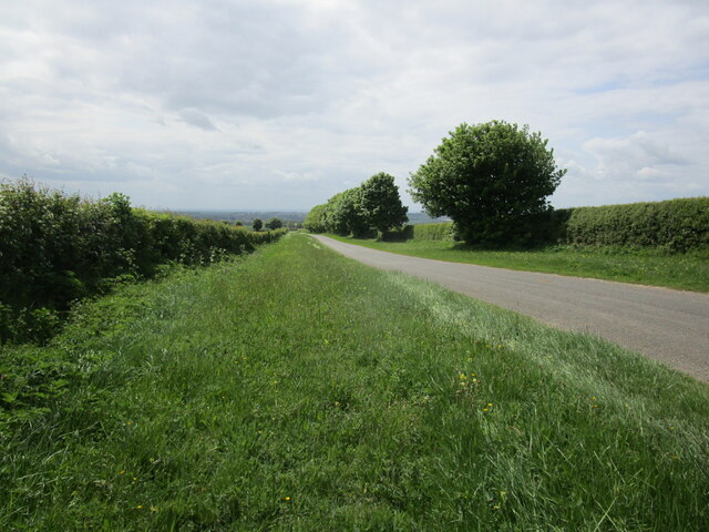
Fishpond Holt Images
Images are sourced within 2km of 53.237495/-0.074726671 or Grid Reference TF2872. Thanks to Geograph Open Source API. All images are credited.


Fishpond Holt is located at Grid Ref: TF2872 (Lat: 53.237495, Lng: -0.074726671)
Administrative County: Lincolnshire
District: East Lindsey
Police Authority: Lincolnshire
What 3 Words
///aunts.firework.supper. Near Horncastle, Lincolnshire
Nearby Locations
Related Wikis

Fulletby
Fulletby is a village and a civil parish in the East Lindsey district of Lincolnshire, England. It is in the Lincolnshire Wolds, and 3 miles (5 km) north...

West Ashby
West Ashby is a village and civil parish in the East Lindsey district of Lincolnshire, England. It is situated on the Horncastle to Louth A153 road, and...

East Lindsey
East Lindsey is a local government district in Lincolnshire, England. Its council is based in Horncastle and the largest town is Skegness. Other towns...

Low Toynton
Low Toynton is a hamlet and civil parish in the East Lindsey district of Lincolnshire, England. The population of the civil parish (including Fulletby...

Belchford
Belchford is a village and civil parish in the East Lindsey district of Lincolnshire, England. The village is situated approximately 4 miles (6 km) north...

High Toynton
High Toynton is a village and civil parish in the East Lindsey district of Lincolnshire, England. It is situated approximately 1.5 miles (2.4 km) east...

Greetham, Lincolnshire
Greetham ( GREET-əm) is a village and former civil parish, now in the parish of Greetham with Somersby, in the East Lindsey district of Lincolnshire, England...

Juicetrump Hill
Juicetrump Hill is a hill around half a mile north of Belchford and 4.5 miles north-east of Horncastle in Lincolnshire, UK within the Lincolnshire Wolds...
Nearby Amenities
Located within 500m of 53.237495,-0.074726671Have you been to Fishpond Holt?
Leave your review of Fishpond Holt below (or comments, questions and feedback).