Star Lane Shaw
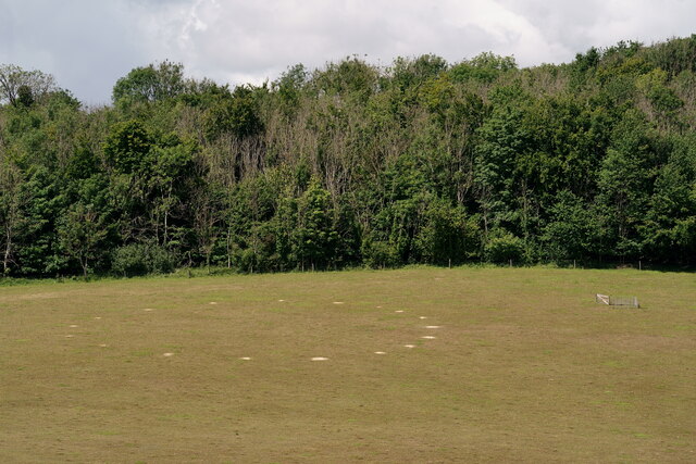
Wood, Forest in Surrey Reigate and Banstead
England
Star Lane Shaw

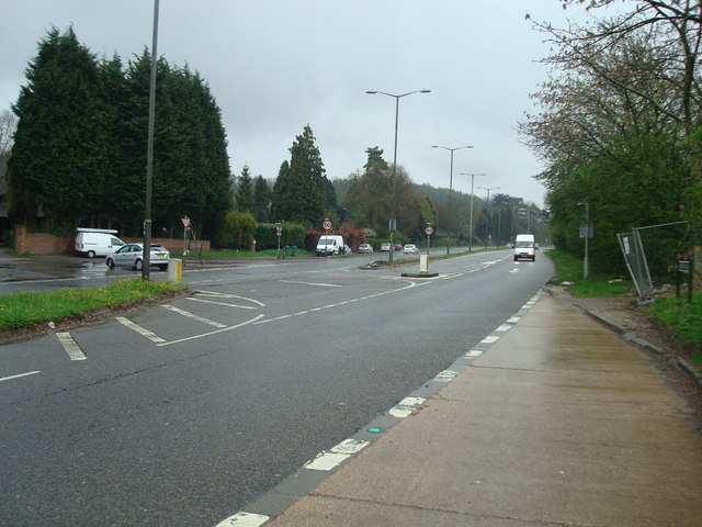
Star Lane is a charming residential road situated in Shaw, a suburban neighborhood in Surrey, England. Nestled amidst a lush green environment, this area is known for its picturesque woodlands and beautiful forests, making it an idyllic location for nature enthusiasts and those seeking a tranquil living environment.
The houses on Star Lane are predominantly detached or semi-detached properties, boasting spacious gardens and ample parking spaces. The architecture of the houses varies, ranging from traditional styles to modern designs, providing a diverse and visually appealing streetscape.
The surrounding woodlands and forests offer residents opportunities for leisurely walks, jogging, and cycling, with numerous well-maintained trails snaking through the area. The natural beauty of the landscape also attracts a wide variety of bird species, making it a haven for birdwatchers.
Despite its peaceful location, Star Lane benefits from its proximity to essential amenities. The nearby town center provides a range of shops, supermarkets, restaurants, and cafes, ensuring residents have easy access to everyday conveniences. The area is also well-served by schools, with several primary and secondary schools located within a short distance.
Transport links in the area are excellent, with frequent bus services connecting Star Lane to nearby towns and train stations. The nearby A322 and M3 motorway provide convenient access to London and other major cities in the region.
Overall, Star Lane in Shaw, Surrey offers a serene and picturesque setting for residents, combining the tranquility of a suburban neighborhood with the convenience of nearby amenities.
If you have any feedback on the listing, please let us know in the comments section below.
Star Lane Shaw Images
Images are sourced within 2km of 51.293605/-0.15716038 or Grid Reference TQ2856. Thanks to Geograph Open Source API. All images are credited.


Star Lane Shaw is located at Grid Ref: TQ2856 (Lat: 51.293605, Lng: -0.15716038)
Administrative County: Surrey
District: Reigate and Banstead
Police Authority: Surrey
What 3 Words
///sadly.sorry.scale. Near Coulsdon, London
Nearby Locations
Related Wikis
Hooley
Hooley is a village in the borough of Reigate and Banstead in Surrey, England. Within its small grid of streets is the 13th-century church of Chipstead...

Chipstead F.C.
Chipstead Football Club is a football club based in Chipstead, near Banstead, in Surrey, England. Affiliated to the Surrey County Football Association...
Tooting Bec F.C.
Tooting Bec Football Club is a football club based in Tooting Bec, Greater London, England. They are currently members of the Southern Counties East League...
Coulsdon Town F.C.
Coulsdon Town Football Club was a football club based in Coulsdon, Greater London, England. == History == The club was established in 1968 as Reedham Park...

Netherne Hospital
Netherne Hospital, formerly The Surrey County Asylum at Netherne or Netherne Asylum was a psychiatric hospital in Hooley, Surrey in the United Kingdom...

Netherne-on-the-Hill
Netherne-on-the-Hill is a village in Surrey, England, occupying a plateau once home to Netherne Hospital. The village is across a narrow valley from Hooley...

Shabden Park
Shabden Park is a 103-hectare (250-acre) nature reserve in Chipstead in Surrey. It is owned by Surrey County Council and managed by the Surrey Wildlife...
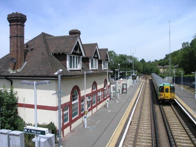
Chipstead railway station
Chipstead railway station serves the village of Chipstead in Surrey. It is a late-Victorian station on the Tattenham Corner Line and was opened in 1897...
Nearby Amenities
Located within 500m of 51.293605,-0.15716038Have you been to Star Lane Shaw?
Leave your review of Star Lane Shaw below (or comments, questions and feedback).