Hooley
Settlement in Surrey Reigate and Banstead
England
Hooley

Hooley is a small village located in the county of Surrey, England. Situated just south of London, it falls within the Reigate and Banstead district. The village is nestled amidst picturesque countryside, offering residents and visitors a tranquil and idyllic setting.
Hooley is primarily a residential area, with a population of around 2,000 people. The village boasts a close-knit community, and its residents enjoy a peaceful and friendly atmosphere. The village is known for its strong community spirit, evident through various local events and initiatives.
Despite its small size, Hooley offers a range of amenities to its residents. The village has a local convenience store, providing everyday necessities, as well as a couple of traditional pubs that serve as popular meeting places for locals. For more extensive shopping needs, nearby towns such as Banstead and Coulsdon offer a wider range of retail options.
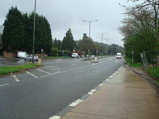
Hooley is well-connected in terms of transportation. The village is conveniently located near major road networks, including the M25 motorway, providing easy access to London and other neighboring towns. The village also benefits from good public transport links, with regular bus services connecting it to nearby towns and train stations.
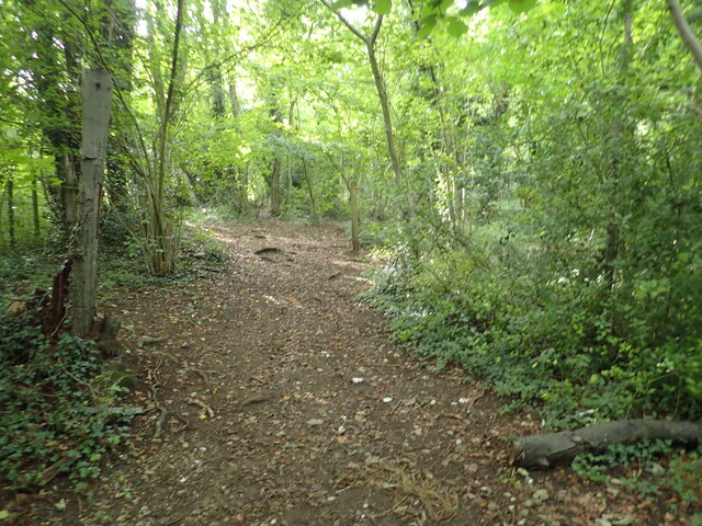
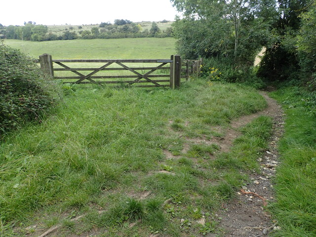
Surrounding Hooley are beautiful green spaces and nature reserves, offering opportunities for outdoor activities such as walking, cycling, and wildlife observation. The village is also within close proximity to the North Downs, a designated Area of Outstanding Natural Beauty, which attracts visitors from far and wide.
In summary, Hooley is a charming village in Surrey, offering a peaceful and close-knit community, picturesque surroundings, and convenient transport links.
If you have any feedback on the listing, please let us know in the comments section below.
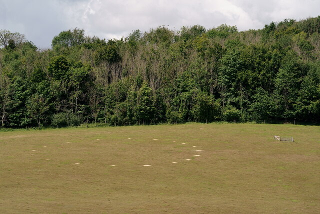
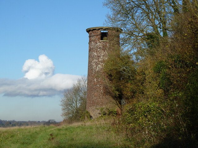
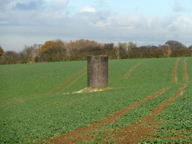
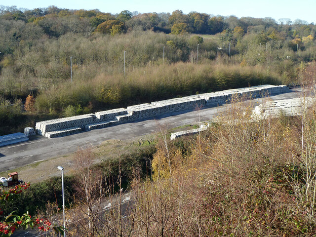
Hooley Images
Images are sourced within 2km of 51.292644/-0.159172 or Grid Reference TQ2856. Thanks to Geograph Open Source API. All images are credited.


Hooley is located at Grid Ref: TQ2856 (Lat: 51.292644, Lng: -0.159172)
Administrative County: Surrey
District: Reigate and Banstead
Police Authority: Surrey
What 3 Words
///major.thus.squad. Near Coulsdon, London
Nearby Locations
Related Wikis
Hooley
Hooley is a village in the borough of Reigate and Banstead in Surrey, England. Within its small grid of streets is the 13th-century church of Chipstead...

Chipstead F.C.
Chipstead Football Club is a football club based in Chipstead, near Banstead, in Surrey, England. Affiliated to the Surrey County Football Association...
Tooting Bec F.C.
Tooting Bec Football Club is a football club based in Tooting Bec, Greater London, England. They are currently members of the Southern Counties East League...

Shabden Park
Shabden Park is a 103-hectare (250-acre) nature reserve in Chipstead in Surrey. It is owned by Surrey County Council and managed by the Surrey Wildlife...
Coulsdon Town F.C.
Coulsdon Town Football Club was a football club based in Coulsdon, Greater London, England. == History == The club was established in 1968 as Reedham Park...

Netherne Hospital
Netherne Hospital, formerly The Surrey County Asylum at Netherne or Netherne Asylum was a psychiatric hospital in Hooley, Surrey in the United Kingdom...

Netherne-on-the-Hill
Netherne-on-the-Hill is a village in Surrey, England, occupying a plateau once home to Netherne Hospital. The village is across a narrow valley from Hooley...
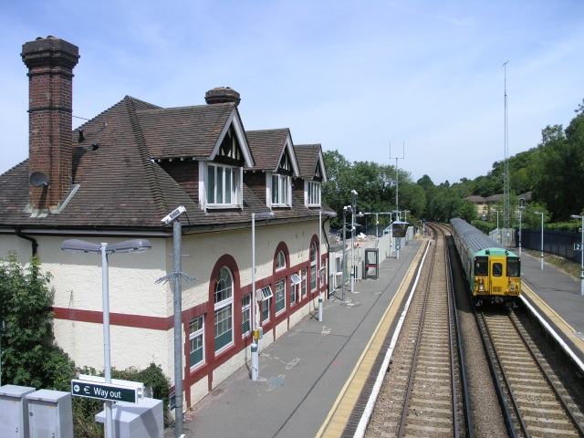
Chipstead railway station
Chipstead railway station serves the village of Chipstead in Surrey. It is a late-Victorian station on the Tattenham Corner Line and was opened in 1897...
Nearby Amenities
Located within 500m of 51.292644,-0.159172Have you been to Hooley?
Leave your review of Hooley below (or comments, questions and feedback).