Ash Covert
Wood, Forest in Lincolnshire East Lindsey
England
Ash Covert
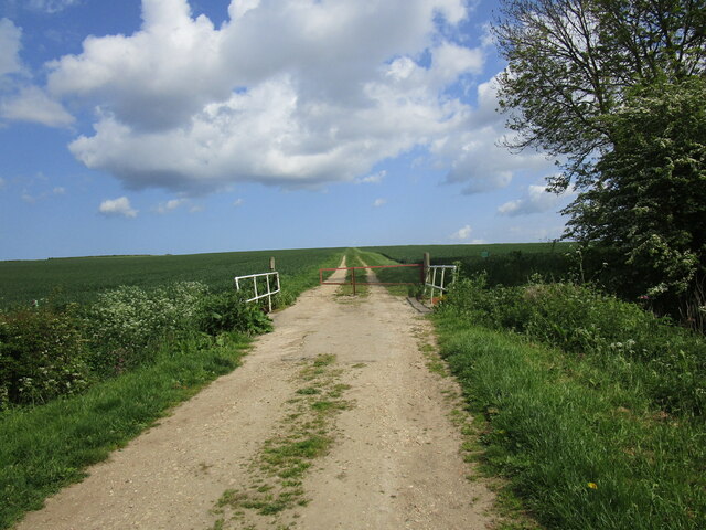
Ash Covert is a small village located in Lincolnshire, England. Situated in the Wood, Forest area, it is surrounded by lush greenery and natural beauty. The village is known for its peaceful and idyllic setting, making it an ideal destination for those seeking tranquility and a break from the hustle and bustle of city life.
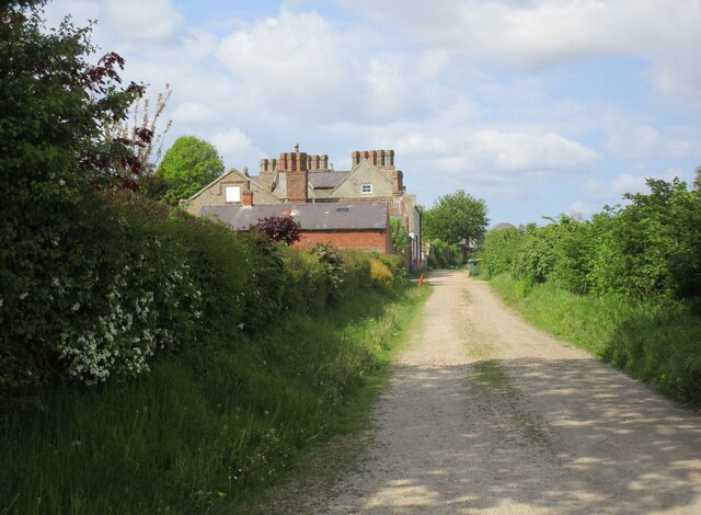
The village of Ash Covert is characterized by its quaint and charming atmosphere. It is home to a small population, fostering a close-knit community that prides itself on its friendly and welcoming nature. The village is primarily residential, with a few local amenities such as a village hall and a community center.
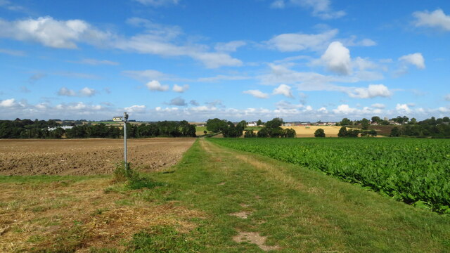
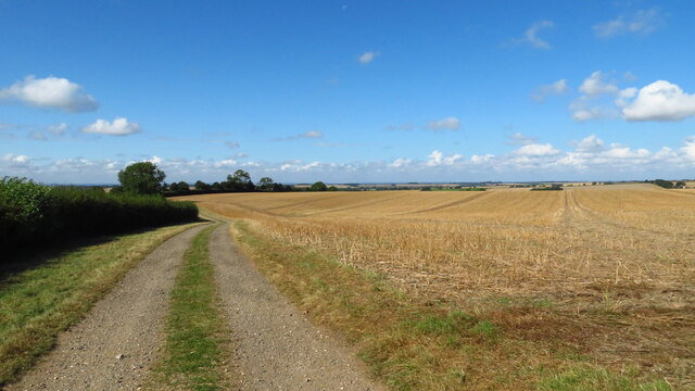
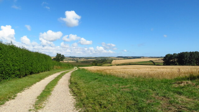
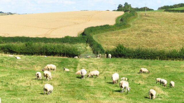
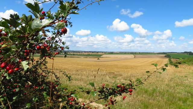
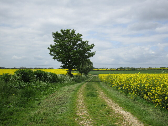
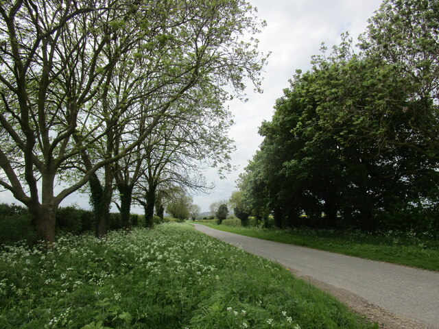
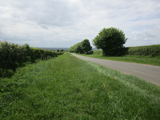
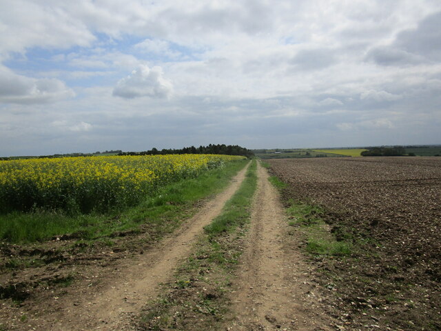
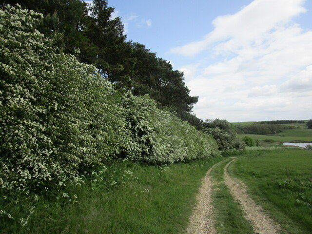
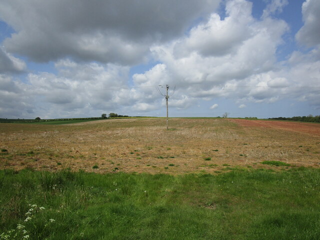
Nature enthusiasts will find plenty to explore in and around Ash Covert. The village is surrounded by dense woodlands, providing ample opportunities for hiking, walking, and wildlife spotting. The nearby forest also offers a range of recreational activities, including cycling trails and picnic spots, making it a popular destination for outdoor enthusiasts.
Despite its rural setting, Ash Covert benefits from its proximity to larger towns and cities. The village is located within easy reach of Lincoln, a historic city known for its stunning cathedral and rich heritage. The city offers a range of amenities, including shopping centers, restaurants, and cultural attractions.
In conclusion, Ash Covert is a picturesque village nestled in the Wood, Forest area of Lincolnshire. With its peaceful ambiance, natural surroundings, and proximity to larger towns, it offers residents and visitors a tranquil and convenient lifestyle.
If you have any feedback on the listing, please let us know in the comments section below.
Ash Covert Images
Images are sourced within 2km of 53.233878/-0.077346328 or Grid Reference TF2872. Thanks to Geograph Open Source API. All images are credited.

Ash Covert is located at Grid Ref: TF2872 (Lat: 53.233878, Lng: -0.077346328)
Administrative County: Lincolnshire
District: East Lindsey
Police Authority: Lincolnshire
What 3 Words
///mulls.jolt.fatherly. Near Horncastle, Lincolnshire
Nearby Locations
Related Wikis

Fulletby
Fulletby is a village and a civil parish in the East Lindsey district of Lincolnshire, England. It is in the Lincolnshire Wolds, and 3 miles (5 km) north...

Low Toynton
Low Toynton is a hamlet and civil parish in the East Lindsey district of Lincolnshire, England. The population of the civil parish (including Fulletby...

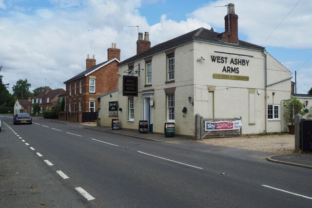
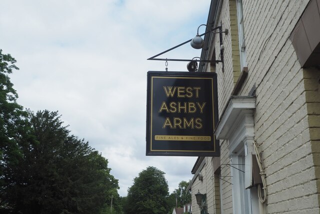
West Ashby
West Ashby is a village and civil parish in the East Lindsey district of Lincolnshire, England. It is situated on the Horncastle to Louth A153 road, and...

East Lindsey
East Lindsey is a local government district in Lincolnshire, England. Its council is based in Horncastle and the largest town is Skegness. Other towns...

High Toynton
High Toynton is a village and civil parish in the East Lindsey district of Lincolnshire, England. It is situated approximately 1.5 miles (2.4 km) east...

Greetham, Lincolnshire
Greetham ( GREET-əm) is a village and former civil parish, now in the parish of Greetham with Somersby, in the East Lindsey district of Lincolnshire, England...

Belchford
Belchford is a village and civil parish in the East Lindsey district of Lincolnshire, England. The village is situated approximately 4 miles (6 km) north...

A158 road
The A158 road is a major route that heads from Lincoln in the west to Skegness on the east coast. The road is located entirely in the county of Lincolnshire...
Related Videos

Wendy's Wing an accessible 1 bedroom holiday cottages for 2 people and pets in Lincolnshire Wolds
Wendy's Wing is an accessible ground floor holiday cottage for 2 people. It offers open plan living with wood floors and leather ...

Greetham Retreat Holidays offers high-quality, self-catering holiday cottages in Lincolnshire Wolds
Greetham Retreat Holidays offers five luxury holiday cottages sleeping 2, 4 or 6 people and pets are welcome in most of our ...

Rose's Rest a lovely cosy self catering holiday cottage for 2 and a small pet in Lincolnshire Wolds
Rose's Rest is a lovely intimate self catering holiday cottage at Greetham Retreat Holidays in Lincolnshire. This cottage is also pet ...

Laura's Loft a very private & romantic self catering holiday apartment for 2 in Lincolnshire Wolds
Laura's Loft offers superb one bedroom self catering holiday accommodation at Greetham Retreat Holidays in the heart of the ...
Nearby Amenities
Located within 500m of 53.233878,-0.077346328Have you been to Ash Covert?
Leave your review of Ash Covert below (or comments, questions and feedback).