Hammerhill Copse
Wood, Forest in Sussex Mid Sussex
England
Hammerhill Copse
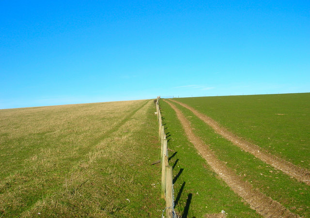
Hammerhill Copse, located in Sussex, England, is a charming woodland area renowned for its natural beauty and rich biodiversity. Covering an area of approximately 50 acres, this ancient forest is a haven for nature enthusiasts and an important ecological site.
The copse is predominantly composed of mature deciduous trees, including oak, beech, and ash, which create a dense canopy that provides shade and shelter for a diverse range of flora and fauna. The forest floor is adorned with a myriad of wildflowers, such as bluebells, primroses, and wood anemones, offering a colorful spectacle during the spring months.
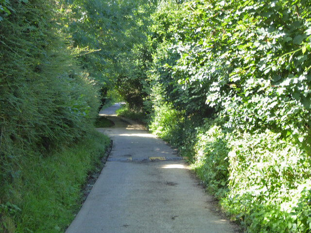
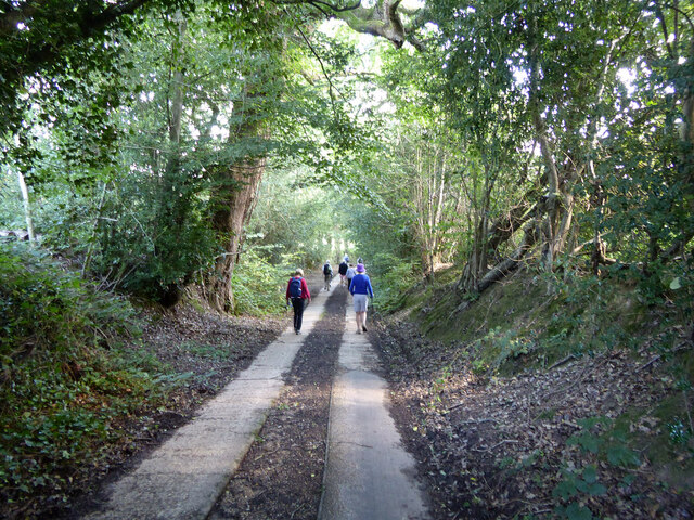
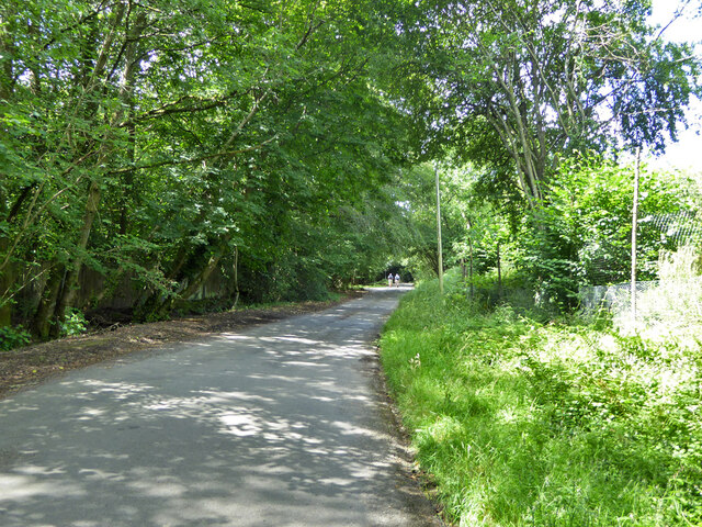
The copse also boasts several picturesque walking trails, allowing visitors to explore its enchanting surroundings. These paths wind through the forest, meandering past babbling brooks, moss-covered rocks, and small clearings dotted with ferns and bracken. The tranquil ambiance of the copse makes it an ideal spot for peaceful walks, picnics, or simply immersing oneself in the serene natural setting.
Hammerhill Copse is home to an array of wildlife, including various bird species, such as woodpeckers, nightingales, and tawny owls. Additionally, small mammals like badgers, foxes, and squirrels can be spotted scurrying through the undergrowth. The copse provides a vital habitat for these creatures, ensuring their survival and contributing to the overall ecological balance of the region.
In conclusion, Hammerhill Copse in Sussex is a captivating woodland area that offers visitors a glimpse into the beauty and serenity of nature. With its diverse flora and fauna, scenic trails, and peaceful ambiance, it is a must-visit destination for anyone seeking a respite from the bustling modern world.
If you have any feedback on the listing, please let us know in the comments section below.
Hammerhill Copse Images
Images are sourced within 2km of 51.02855/-0.1699459 or Grid Reference TQ2827. Thanks to Geograph Open Source API. All images are credited.


Hammerhill Copse is located at Grid Ref: TQ2827 (Lat: 51.02855, Lng: -0.1699459)
Administrative County: West Sussex
District: Mid Sussex
Police Authority: Sussex
What 3 Words
///mango.troubles.refutes. Near South Nutfield, Surrey
Nearby Locations
Related Wikis

Tyes Place
Tyes Place is a listed historic manor house in Staplefield, West Sussex, England. It was once a farm, then in the first half of the 20th century it was...

Staplefield
Staplefield is a village in the Mid Sussex District of West Sussex, England, situated 6 kilometres (3.7 mi) north-west of Haywards Heath on the B2114...

Cuckfield & Lucastes (electoral division)
Cuckfield & Lucastes is an electoral division of West Sussex in England, and returns one member to sit on West Sussex County Council. == Extent == The...
Mid Sussex District
Mid Sussex is a local government district in the non-metropolitan county of West Sussex, England, within the historic county of Sussex. It contains the...

St Mary's Church, Slaugham
St Mary's Church is an Anglican church in the village of Slaugham in Mid Sussex, one of seven local government districts in the English county of West...

Slaugham
Slaugham () is a village and civil parish in the Mid Sussex District of West Sussex, England. It is located 7 miles (11 km) to the south of Crawley, on...

Cuckfield
Cuckfield ( KUUK-feeld) is a village and civil parish in the Mid Sussex District of West Sussex, England, on the southern slopes of the Weald. It lies...

Ansty and Staplefield
Ansty and Staplefield, previously Cuckfield Rural, is a civil parish in the Mid Sussex District of West Sussex, England, covering an area from the north...
Nearby Amenities
Located within 500m of 51.02855,-0.1699459Have you been to Hammerhill Copse?
Leave your review of Hammerhill Copse below (or comments, questions and feedback).