Bury Wood
Wood, Forest in Hertfordshire North Hertfordshire
England
Bury Wood

Bury Wood is a picturesque woodland located in Hertfordshire, England. Covering an area of approximately 50 acres, it is a popular destination for nature enthusiasts and outdoor lovers. The wood is nestled within the charming village of Bury, just a short distance from the town of Hemel Hempstead.
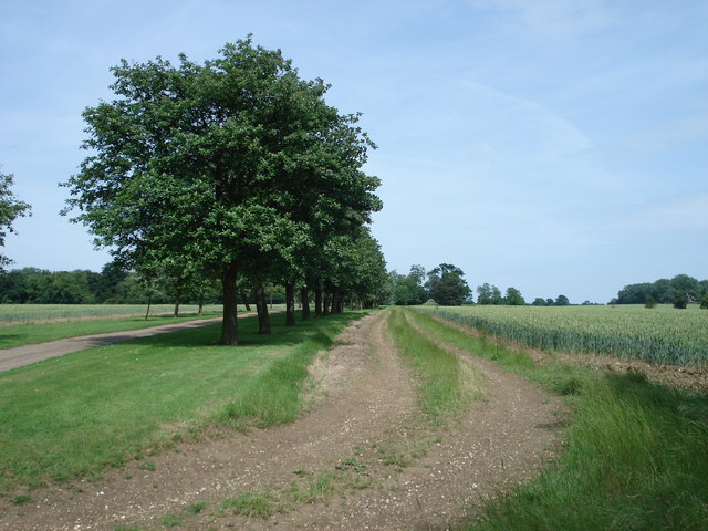
The woodland is characterized by its diverse range of trees, including oak, beech, and birch, which provide a stunning display of colors throughout the seasons. It is also home to a variety of wildlife, such as deer, badgers, and a plethora of bird species, making it a haven for birdwatchers and wildlife photographers.
Bury Wood offers several well-maintained walking trails that wind their way through the forest, allowing visitors to explore its natural beauty at their own pace. These trails vary in length and difficulty, making them suitable for people of all ages and fitness levels. Along the paths, visitors will discover enchanting clearings, babbling streams, and peaceful picnic spots, creating a tranquil atmosphere to relax and unwind.
The wood is managed by the Woodland Trust, a UK-based conservation charity, ensuring its preservation for future generations. The organization takes great care to maintain the wood’s natural habitat and biodiversity, as well as providing educational resources for schools and local communities.
Bury Wood is a true gem in Hertfordshire, offering a serene escape from the hustle and bustle of everyday life. Whether you are seeking a peaceful stroll, a family outing, or a chance to connect with nature, this woodland provides a breathtaking experience for all who visit.
If you have any feedback on the listing, please let us know in the comments section below.
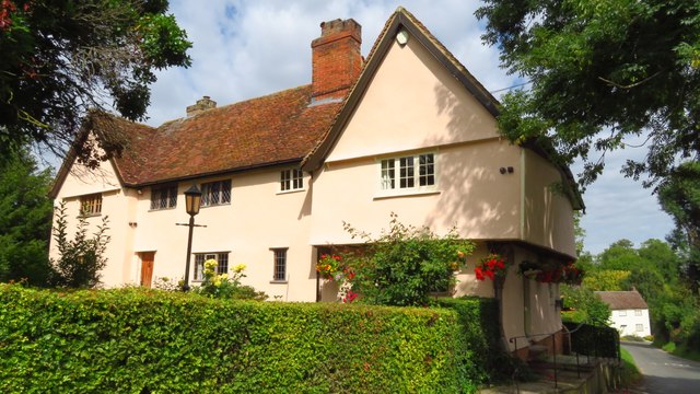
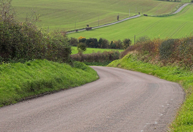
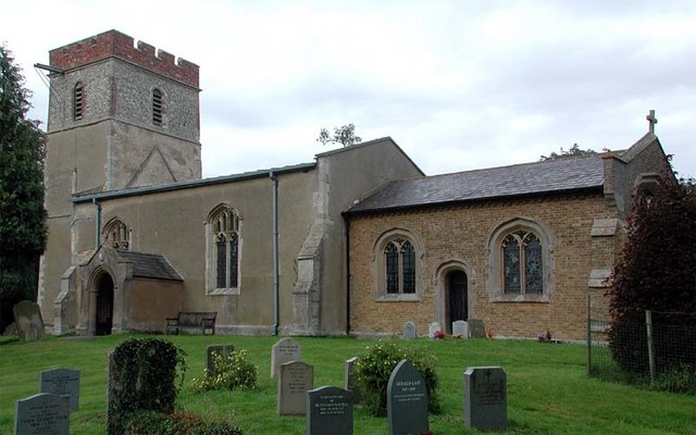
Bury Wood Images
Images are sourced within 2km of 51.980952/-0.12703118 or Grid Reference TL2833. Thanks to Geograph Open Source API. All images are credited.


Bury Wood is located at Grid Ref: TL2833 (Lat: 51.980952, Lng: -0.12703118)
Administrative County: Hertfordshire
District: North Hertfordshire
Police Authority: Hertfordshire
What 3 Words
///saunas.freshest.blues. Near Baldock, Hertfordshire
Nearby Locations
Related Wikis

Wallington, Hertfordshire
Wallington is a small village and civil parish in the North Hertfordshire district, in the county of Hertfordshire, England, near the town of Baldock....
Rushden, Hertfordshire
Rushden is a small village and civil parish which forms part of the grouped parish council of Rushden and Wallington in the North Hertfordshire district...
Clothall
Clothall is a village and civil parish in the county of Hertfordshire, England, with a population of 358. It is situated 2.25 miles (3.62 km) south-east...
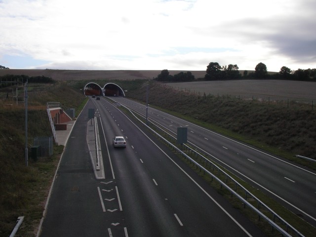
Weston Hills Tunnel
The Weston Hills Tunnel is a 230m twin road tunnel under the Weston Hills near Baldock in Hertfordshire. It was constructed as part of the A505 Baldock...
Sandon, Hertfordshire
Sandon is a village and civil parish in the North Hertfordshire district, in the county of Hertfordshire, England. Sandon is located near the towns of...
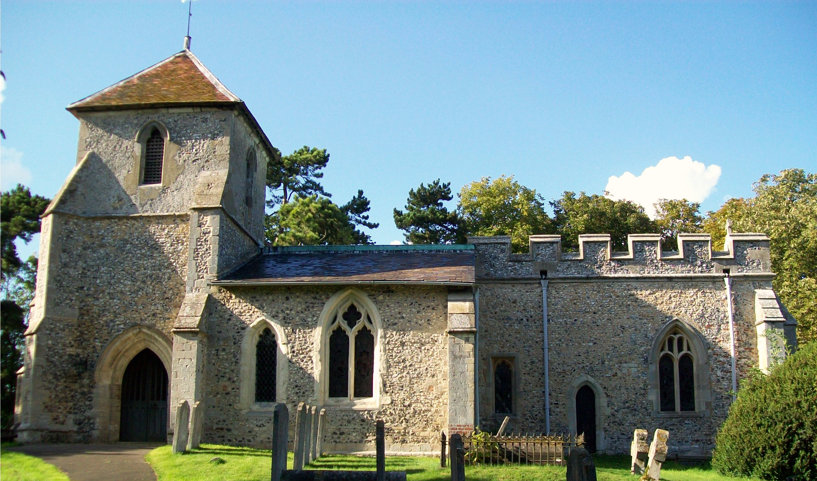
Church of St Margaret of Antioch, Bygrave
The Church of St Margaret of Antioch is the Anglican parish church for the village of Bygrave in Hertfordshire. Dedicated to St Margaret of Antioch, the...
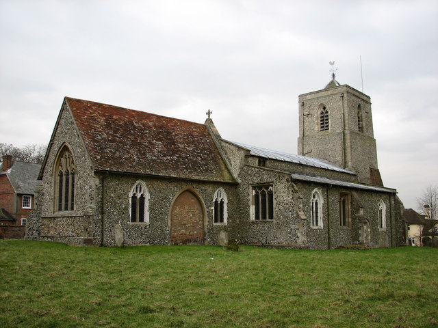
Holy Trinity Church, Weston
Holy Trinity Church is the parish church for the village of Weston in Hertfordshire. The church building stands to the south-east of the village on high...
Bygrave
Bygrave is a village and civil parish in the North Hertfordshire district of Hertfordshire, England, about 2 miles north-east of Baldock. In the 10th...
Nearby Amenities
Located within 500m of 51.980952,-0.12703118Have you been to Bury Wood?
Leave your review of Bury Wood below (or comments, questions and feedback).