Astonbury Wood
Wood, Forest in Hertfordshire East Hertfordshire
England
Astonbury Wood
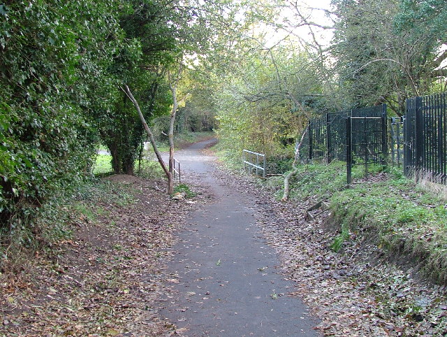
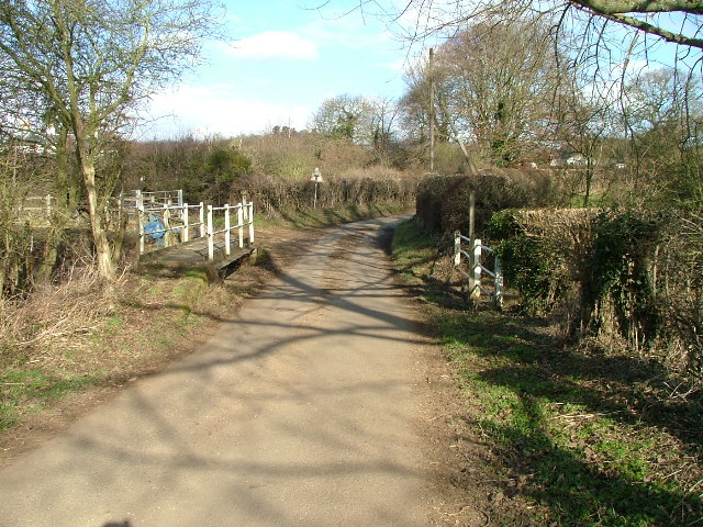
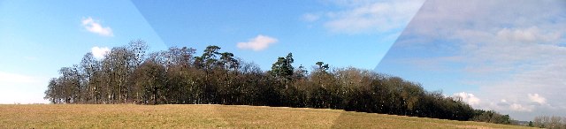
Astonbury Wood is a picturesque ancient woodland located in Hertfordshire, England. Spread across an area of approximately 98 acres, the wood is a designated Local Nature Reserve and Site of Special Scientific Interest. With its rich biodiversity and historical significance, Astonbury Wood attracts nature enthusiasts, walkers, and history buffs alike.
The wood is predominantly made up of oak and hornbeam trees, which provide a dense canopy and create a tranquil atmosphere. The woodland floor is adorned with a carpet of bluebells during the spring, creating a breathtaking sight. Apart from these, the undergrowth comprises a variety of wildflowers, ferns, and mosses, adding to the woodland's charm.
Astonbury Wood is not only a natural haven but also holds historical significance. It is believed to be an ancient woodland, dating back at least 400 years. The wood was once part of the extensive Hatfield Forest, a royal hunting ground during the medieval period. The remnants of an ancient bank and ditch system can still be seen, serving as a reminder of its past.
The wood also provides a home to a diverse range of wildlife. Visitors may spot roe deer, foxes, and various species of birds, including great spotted woodpeckers and tawny owls. Astonbury Wood is also known for its rich insect life, with butterflies, dragonflies, and damselflies buzzing around during the warmer months.
With its natural beauty, historical significance, and abundant wildlife, Astonbury Wood offers a peaceful escape from the hustle and bustle of everyday life, making it a must-visit destination for nature lovers and history enthusiasts in Hertfordshire.
If you have any feedback on the listing, please let us know in the comments section below.
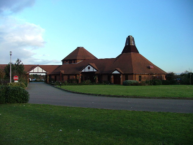
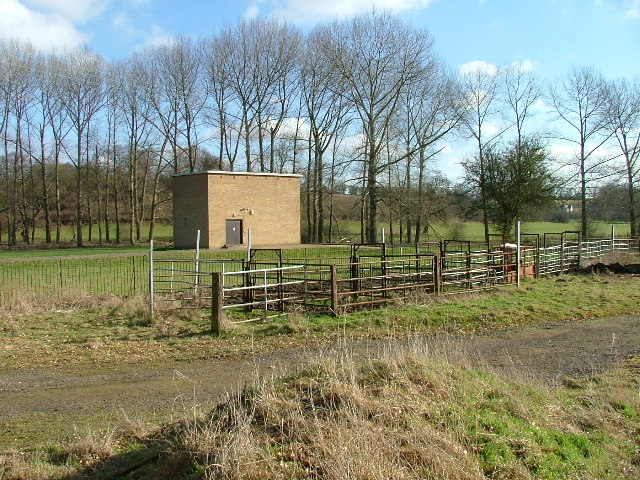
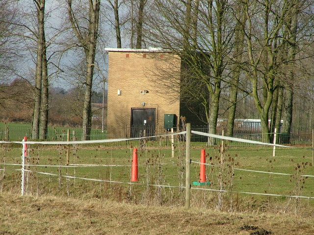
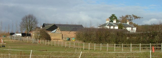
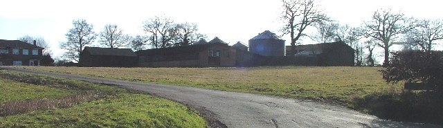
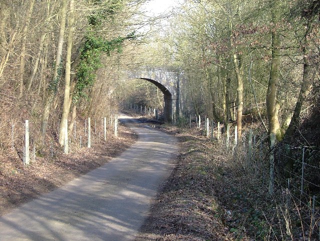
Astonbury Wood Images
Images are sourced within 2km of 51.876165/-0.14837201 or Grid Reference TL2721. Thanks to Geograph Open Source API. All images are credited.


Astonbury Wood is located at Grid Ref: TL2721 (Lat: 51.876165, Lng: -0.14837201)
Administrative County: Hertfordshire
District: East Hertfordshire
Police Authority: Hertfordshire
What 3 Words
///candle.eased.pats. Near Knebworth, Hertfordshire
Nearby Locations
Related Wikis

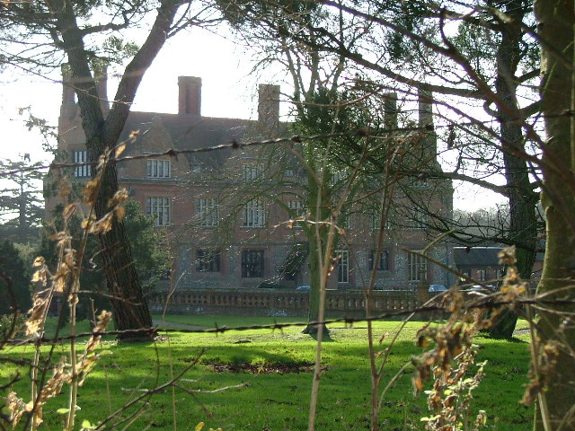
Aston Bury
Aston Bury is a manor house near Aston, Hertfordshire, England. It is Grade I listed building.It was built in the mid 17th century, possibly by the Boteler...

A602 road
The A602 is a road linking Hitchin in Hertfordshire, England, with A10 at Ware in Hertfordshire, via Stevenage. The course of the road has changed significantly...

Aston, Hertfordshire
Aston is a village and civil parish in the East Hertfordshire district of Hertfordshire, England. According to the 2001 census it had a population of...

Stevenage (UK Parliament constituency)
Stevenage is a constituency in Hertfordshire represented in the House of Commons of the UK Parliament since 2010 by Stephen McPartland, a member of the...

Ridlins Mire
Ridlins Mire is a 1.6-hectare (4.0-acre) nature reserve managed by the Herts and Middlesex Wildlife Trust in Stevenage, Hertfordshire, England.This wetland...

Bragbury End
Bragbury End is a hamlet in Hertfordshire, England, and the location of Stevenage F.C.'s training ground.

Datchworth
Datchworth is a village and civil parish between the towns of Hertford, Stevenage and Welwyn Garden City in the county of Hertfordshire, England. Sited...
Barnwell School
Barnwell School is a coeducational secondary school and sixth form that was established in 1959 and is situated in the south of Stevenage, Hertfordshire...
Nearby Amenities
Located within 500m of 51.876165,-0.14837201Have you been to Astonbury Wood?
Leave your review of Astonbury Wood below (or comments, questions and feedback).