Henry Wood
Wood, Forest in Hertfordshire East Hertfordshire
England
Henry Wood
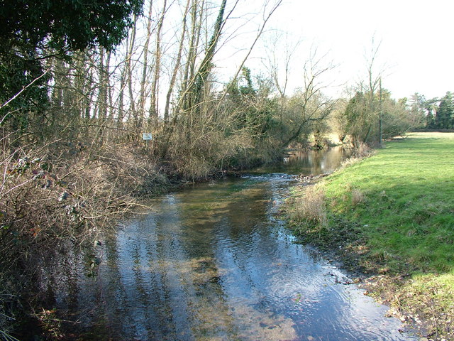
Henry Wood is a small village located in Hertfordshire, England. Situated in the heart of the county, this charming village is known for its picturesque landscapes, lush greenery, and serene surroundings. With a population of around 500 residents, it offers a peaceful and close-knit community atmosphere.
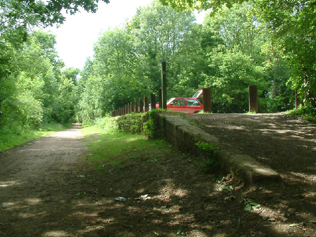
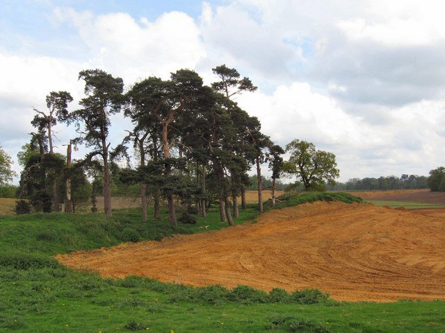
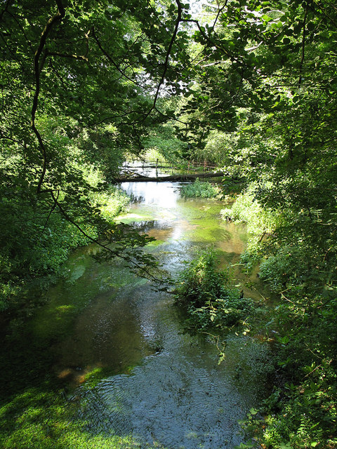
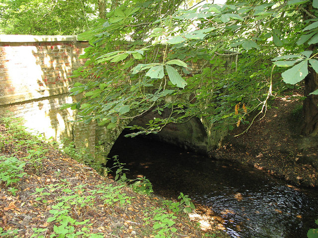
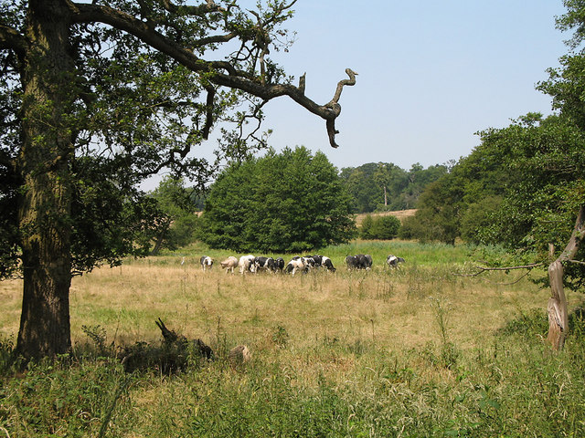
The village is named after the ancient woodland that surrounds it, known as Henry Wood Forest. This forest covers a significant area and is home to a diverse range of flora and fauna, making it a popular spot for nature enthusiasts and hikers. The woodland is carefully preserved and maintained by local authorities to ensure its ecological significance remains intact.
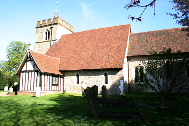
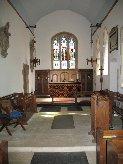
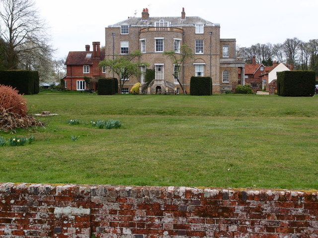
Henry Wood boasts a rich history, dating back to medieval times. The village is dotted with historic buildings, including a 13th-century church that stands as a testament to its past. The architecture of these structures reflects the traditional English countryside charm, adding to the village's unique character.
Despite its small size, Henry Wood offers a range of amenities for its residents. There is a primary school, a local pub, and a village hall that hosts various community events throughout the year. The village also has excellent transport links, with nearby train stations and major roadways connecting it to larger towns and cities in the region.
Overall, Henry Wood is a hidden gem in Hertfordshire, offering a peaceful and idyllic setting for its residents. With its beautiful woodland, historical landmarks, and strong community spirit, it is a place that truly captures the essence of rural England.
If you have any feedback on the listing, please let us know in the comments section below.
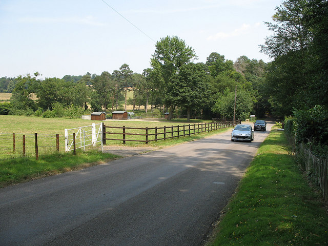
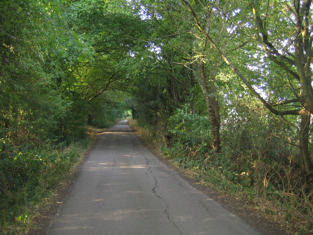
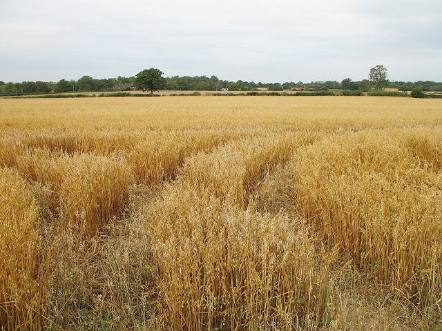
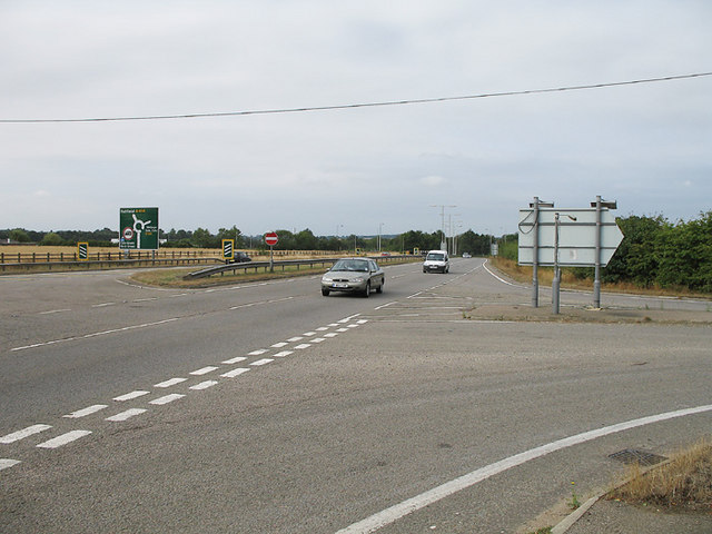
Henry Wood Images
Images are sourced within 2km of 51.797734/-0.15164484 or Grid Reference TL2712. Thanks to Geograph Open Source API. All images are credited.


Henry Wood is located at Grid Ref: TL2712 (Lat: 51.797734, Lng: -0.15164484)
Administrative County: Hertfordshire
District: East Hertfordshire
Police Authority: Hertfordshire
What 3 Words
///horn.ships.moral. Near Welwyn Garden City, Hertfordshire
Nearby Locations
Related Wikis

Pishiobury
Pishiobury, sometimes spelled Pishobury, was a manor and estate in medieval Sawbridgeworth, Hertfordshire. Its denomination as "Pishiobury" only emerged...

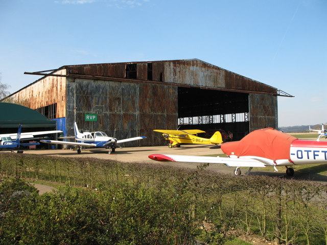
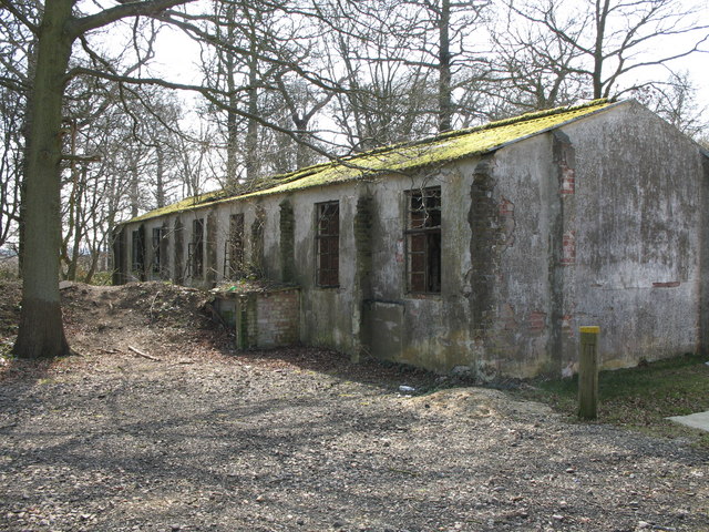
Panshanger Aerodrome
Panshanger Aerodrome (ICAO: EGLG) was a former general aviation aerodrome located on the most eastern tip of Welwyn Garden City, Hertfordshire, England...

Cole Green, Hertfordshire
Cole Green is a hamlet in Hertfordshire, England. It is 1 mile (1.6 km) south-east of Welwyn Garden City just off the A414. It is in the Hertingfordbury...

Hatfield Hyde Halt railway station
Hatfield Hyde Halt was a halt-layout railway station. The station was part of the Hertford and Welwyn Junction Railway, near the garden city of Welwyn...
Marden Hill
Marden Hill is a Grade II* listed country house close to the village of Tewin, Hertfordshire.The house, originally Jacobean but substantially rebuilt in...

Panshanger
Panshanger was a large country house located between the outer edge of Hertford and Welwyn Garden City in Hertfordshire, England. == History == Earl Cowper...

Tewinbury
Tewinbury is a 7.5-hectare (19-acre) biological Site of Special Scientific Interest near Tewin in Hertfordshire. The local planning authority is East Hertfordshire...
Cole Green railway station
Cole Green railway station was a station at Cole Green, Hertfordshire, England, on the Hertford and Welwyn Junction Railway. It was a passenger station...
Nearby Amenities
Located within 500m of 51.797734,-0.15164484Have you been to Henry Wood?
Leave your review of Henry Wood below (or comments, questions and feedback).