Birchall Wood
Wood, Forest in Hertfordshire East Hertfordshire
England
Birchall Wood
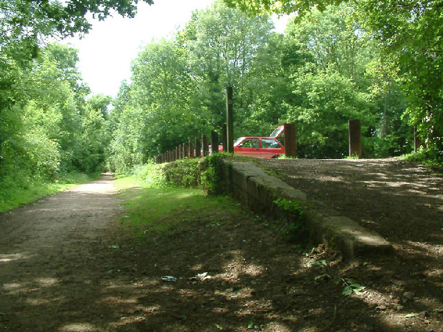
Birchall Wood is a picturesque forest located in Hertfordshire, England. Spanning over an area of approximately 50 acres, this woodland is known for its diverse flora and fauna, making it a popular destination for nature enthusiasts and hikers alike.
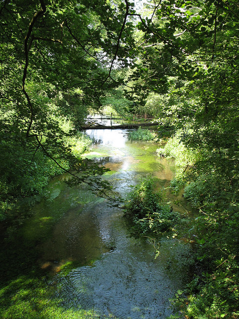
The wood is predominantly composed of birch trees, which give it its name, but it also features a mix of other deciduous and coniferous trees such as oak, beech, and pine. The towering trees create a dense canopy that provides a cool and shaded environment even on hot summer days. The forest floor is covered in a thick layer of fallen leaves, creating a carpet of vibrant colors during the autumn months.
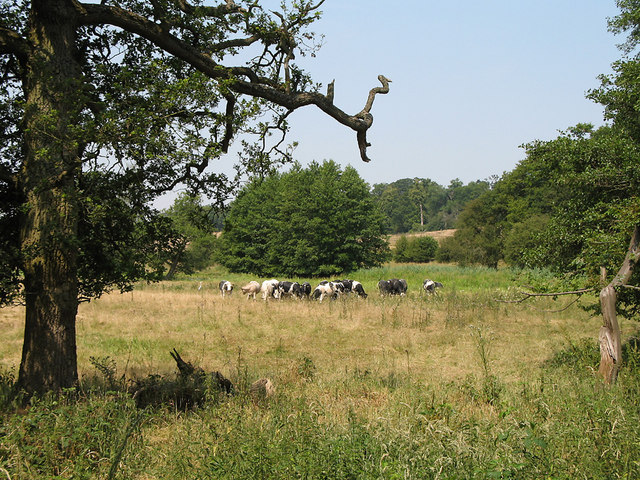
Birchall Wood is home to a wide variety of wildlife. Birdwatchers can spot numerous species including woodpeckers, owls, and various songbirds. Squirrels, foxes, and rabbits are commonly seen darting through the undergrowth. The woodland also supports a diverse insect population, with butterflies and bees being particularly abundant in the warmer months.
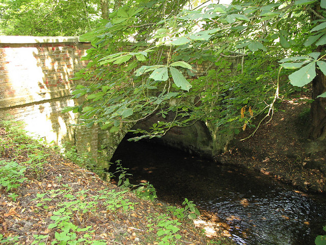
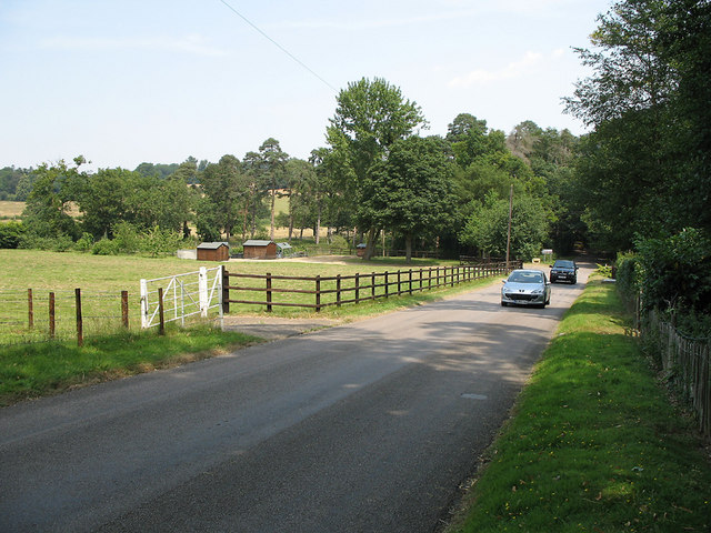
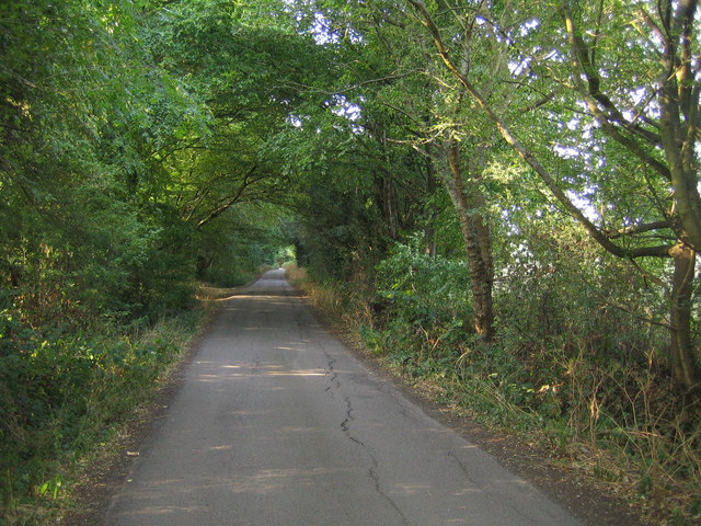
The wood offers several well-marked trails for visitors to explore and enjoy. These winding paths take hikers through the heart of the forest, allowing them to immerse themselves in the natural beauty and tranquility of Birchall Wood. There are also designated picnic areas and benches dotted throughout the wood, providing a perfect spot for visitors to rest and take in the peaceful surroundings.
Overall, Birchall Wood is a charming woodland retreat that offers a sanctuary for both wildlife and humans. Its scenic beauty, diverse ecosystem, and well-maintained trails make it a must-visit destination for nature lovers in Hertfordshire.
If you have any feedback on the listing, please let us know in the comments section below.
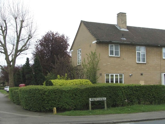
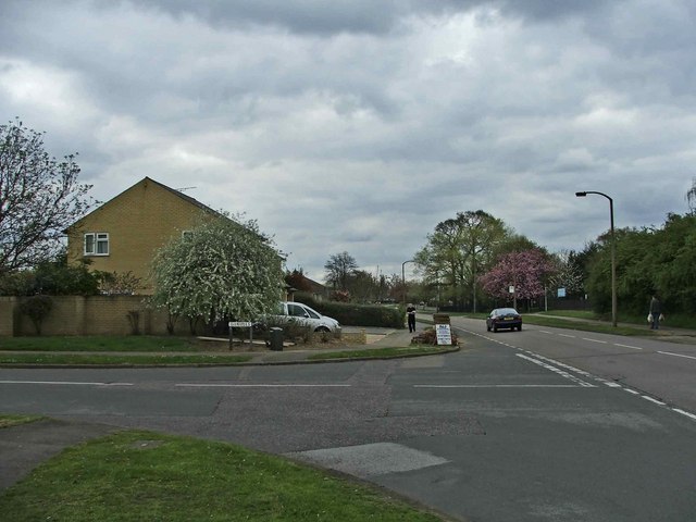
Birchall Wood Images
Images are sourced within 2km of 51.794442/-0.15675348 or Grid Reference TL2712. Thanks to Geograph Open Source API. All images are credited.


Birchall Wood is located at Grid Ref: TL2712 (Lat: 51.794442, Lng: -0.15675348)
Administrative County: Hertfordshire
District: East Hertfordshire
Police Authority: Hertfordshire
What 3 Words
///chase.tilt.trails. Near Welwyn Garden City, Hertfordshire
Nearby Locations
Related Wikis

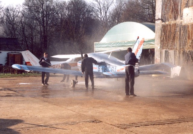
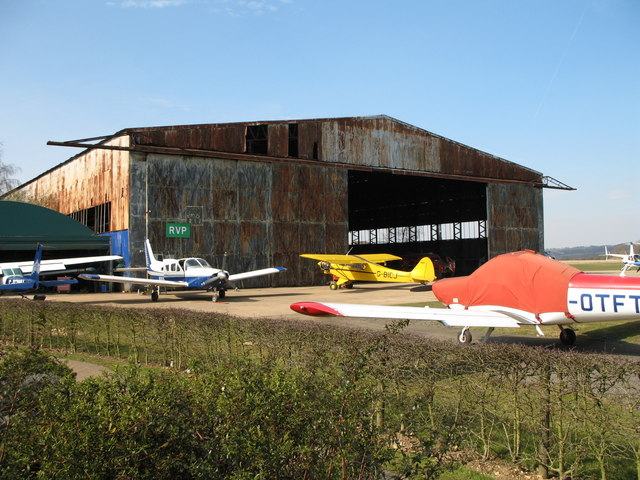
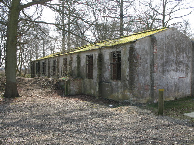
Panshanger Aerodrome
Panshanger Aerodrome (ICAO: EGLG) was a former general aviation aerodrome located on the most eastern tip of Welwyn Garden City, Hertfordshire, England...

Hatfield Hyde Halt railway station
Hatfield Hyde Halt was a halt-layout railway station. The station was part of the Hertford and Welwyn Junction Railway, near the garden city of Welwyn...

Pishiobury
Pishiobury, sometimes spelled Pishobury, was a manor and estate in medieval Sawbridgeworth, Hertfordshire. Its denomination as "Pishiobury" only emerged...

Cole Green, Hertfordshire
Cole Green is a hamlet in Hertfordshire, England. It is 1 mile (1.6 km) south-east of Welwyn Garden City just off the A414. It is in the Hertingfordbury...
Attimore Hall Halt railway station
Attimore Hall Halt was a halt station on the Great Northern Railway in Hertfordshire, England. The station was built near what is now the town of Welwyn...
Ridgeway Academy
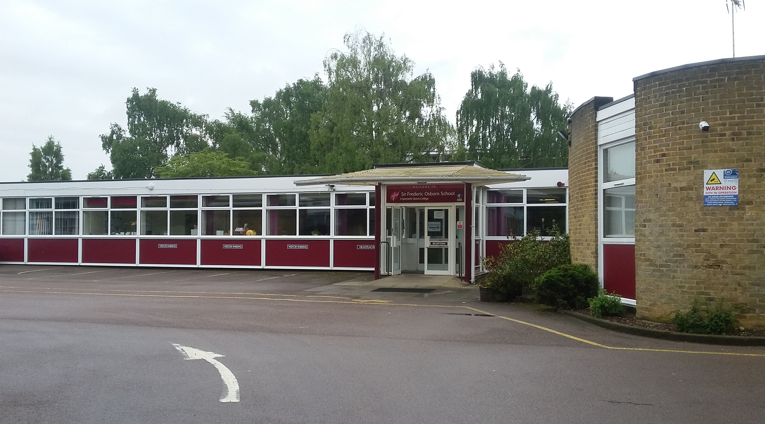
Ridgeway Academy, formerly Sir Frederic Osborn School ("Sir Freds"), which itself was formed by the merging in 1968 of Attimore Hall School (secondary...
Digswell Arts Trust
Digswell Arts Trust was the brainchild of Henry Morris, a pioneering educationalist. Through his enthusiasm, dedication and influence he persuaded the...
Cole Green railway station
Cole Green railway station was a station at Cole Green, Hertfordshire, England, on the Hertford and Welwyn Junction Railway. It was a passenger station...
Nearby Amenities
Located within 500m of 51.794442,-0.15675348Have you been to Birchall Wood?
Leave your review of Birchall Wood below (or comments, questions and feedback).