Brocket Hill
Hill, Mountain in Hertfordshire East Hertfordshire
England
Brocket Hill
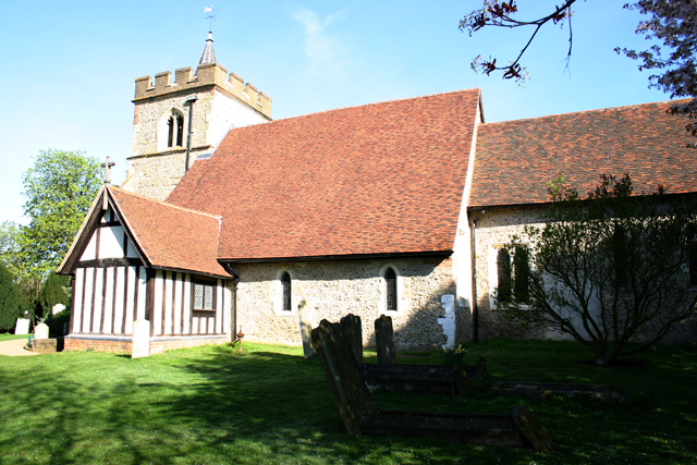
Brocket Hill is a prominent geographical feature located in the county of Hertfordshire, England. While not classified as a mountain due to its relatively modest elevation, it is often referred to as Brocket Hill due to its distinctiveness and the visual impact it creates on the surrounding landscape. Rising to a height of approximately 128 meters (420 feet) above sea level, it offers stunning panoramic views of the surrounding countryside.
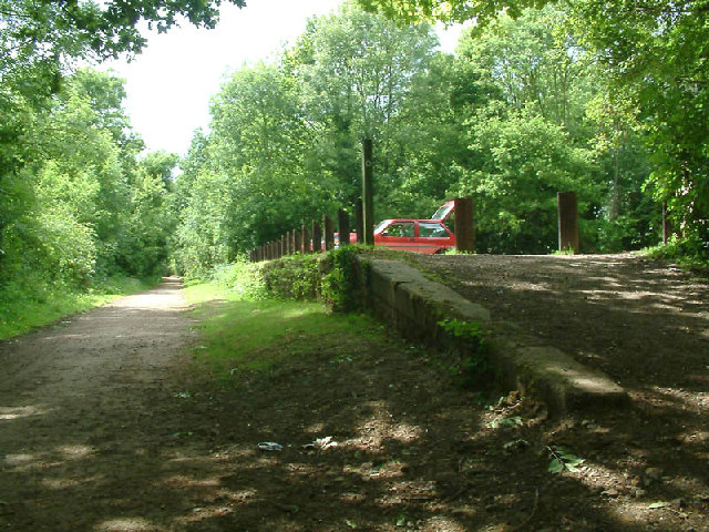
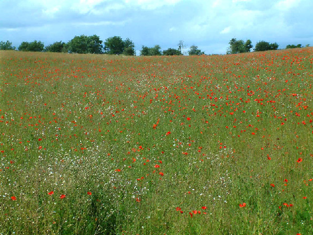
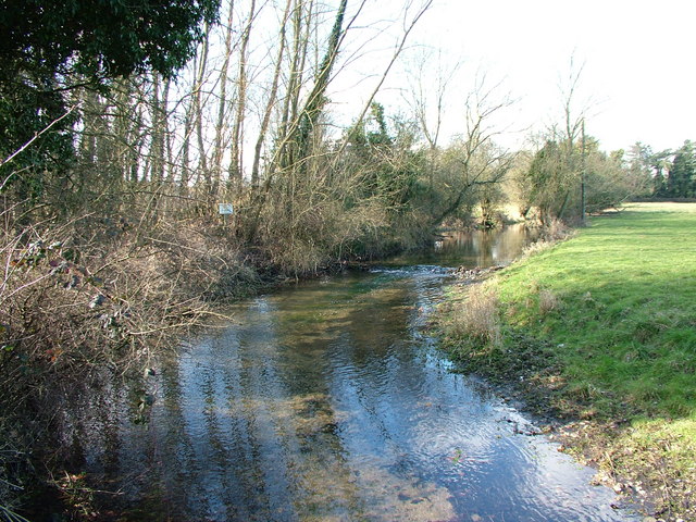
Situated near the village of Lemsford, Brocket Hill is a popular destination for both locals and visitors alike. It is easily accessible by road, with a well-maintained path leading to the summit. The hill is covered in lush greenery, consisting of a mixture of deciduous and coniferous trees, providing a picturesque backdrop throughout the year.
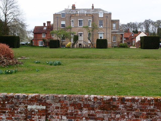
One of the key attractions of Brocket Hill is the Brocket Hall Estate, which encompasses the hill and its surroundings. The estate is renowned for its grandeur and historical significance, dating back several centuries. It features a magnificent stately home, Brocket Hall, which has been visited by various notable figures throughout history.
Brocket Hill also holds cultural significance, as it is said to have inspired various artists and writers over the years. Its serene and tranquil atmosphere makes it an ideal spot for nature enthusiasts, hikers, and photographers seeking to capture the beauty of the Hertfordshire countryside.
In conclusion, Brocket Hill is a notable landmark in Hertfordshire, offering breathtaking views and a rich historical background. Whether it's for a leisurely stroll or an appreciation of natural beauty, this hill provides a captivating experience for all who visit.
If you have any feedback on the listing, please let us know in the comments section below.
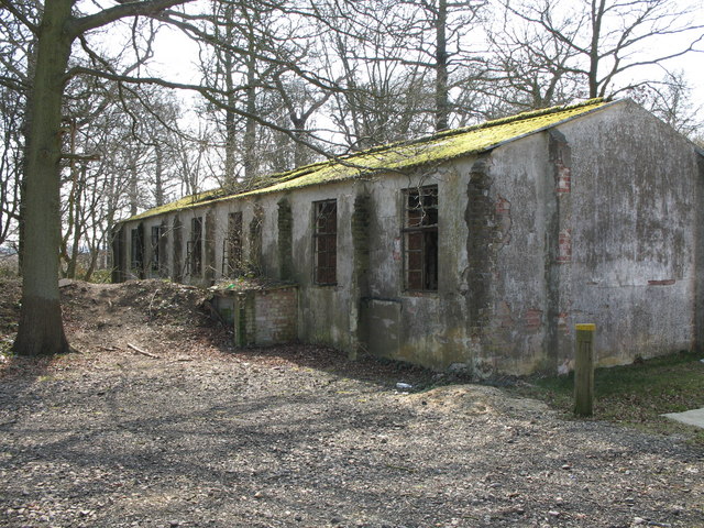
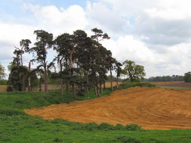
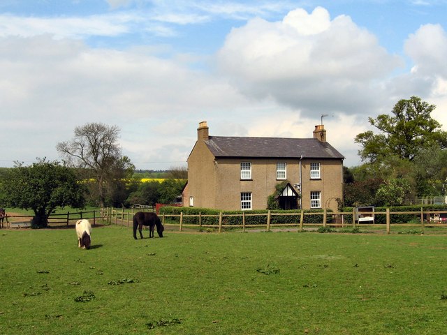
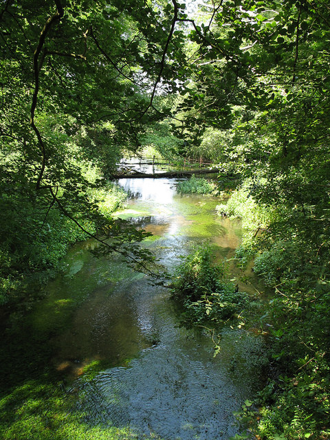
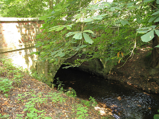
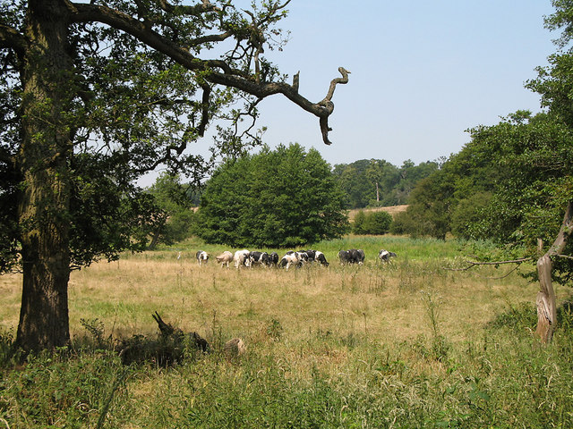
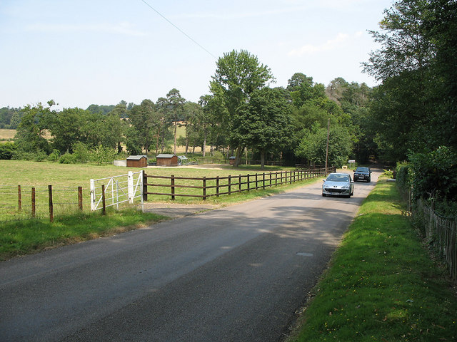
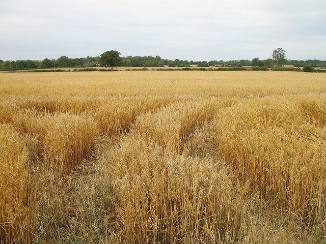
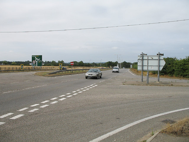
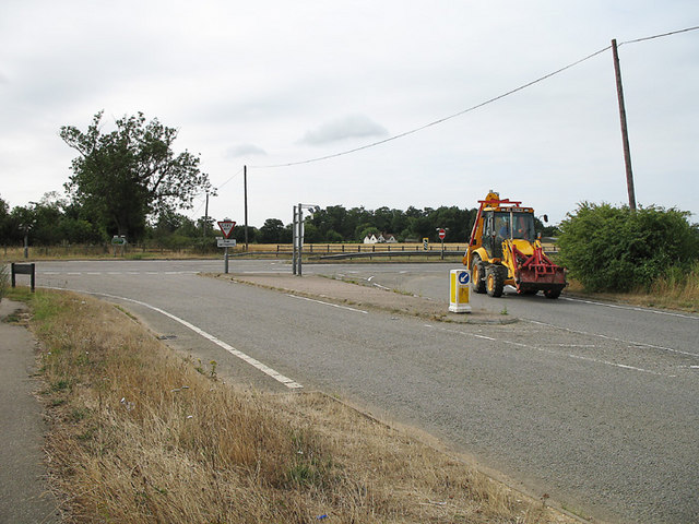
Brocket Hill Images
Images are sourced within 2km of 51.798005/-0.14603571 or Grid Reference TL2712. Thanks to Geograph Open Source API. All images are credited.
Brocket Hill is located at Grid Ref: TL2712 (Lat: 51.798005, Lng: -0.14603571)
Administrative County: Hertfordshire
District: East Hertfordshire
Police Authority: Hertfordshire
What 3 Words
///modes.hatch.master. Near Welwyn Garden City, Hertfordshire
Nearby Locations
Related Wikis

Pishiobury
Pishiobury, sometimes spelled Pishobury, was a manor and estate in medieval Sawbridgeworth, Hertfordshire. Its denomination as "Pishiobury" only emerged...

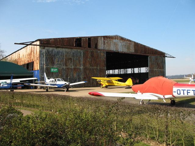
Panshanger Aerodrome
Panshanger Aerodrome (ICAO: EGLG) was a former general aviation aerodrome located on the most eastern tip of Welwyn Garden City, Hertfordshire, England...

Panshanger
Panshanger was a large country house located between the outer edge of Hertford and Welwyn Garden City in Hertfordshire, England. == History == Earl Cowper...

Cole Green, Hertfordshire
Cole Green is a hamlet in Hertfordshire, England. It is 1 mile (1.6 km) south-east of Welwyn Garden City just off the A414. It is in the Hertingfordbury...
Marden Hill
Marden Hill is a Grade II* listed country house close to the village of Tewin, Hertfordshire.The house, originally Jacobean but substantially rebuilt in...
Cole Green railway station
Cole Green railway station was a station at Cole Green, Hertfordshire, England, on the Hertford and Welwyn Junction Railway. It was a passenger station...

Hatfield Hyde Halt railway station
Hatfield Hyde Halt was a halt-layout railway station. The station was part of the Hertford and Welwyn Junction Railway, near the garden city of Welwyn...
Letty Green
Letty Green is a village in the parish of Hertingfordbury, Hertfordshire, England. St John’s Church, Letty Green, the deconsecrated former parish church...
Nearby Amenities
Located within 500m of 51.798005,-0.14603571Have you been to Brocket Hill?
Leave your review of Brocket Hill below (or comments, questions and feedback).