Beershop Wood
Wood, Forest in Sussex Mid Sussex
England
Beershop Wood

Beershop Wood is a picturesque forest located in Sussex, England. Covering an area of approximately 100 hectares, this woodland is an idyllic retreat for nature enthusiasts and hikers alike. The forest is named after the nearby Beershop Farm and is known for its diverse collection of trees and wildlife.
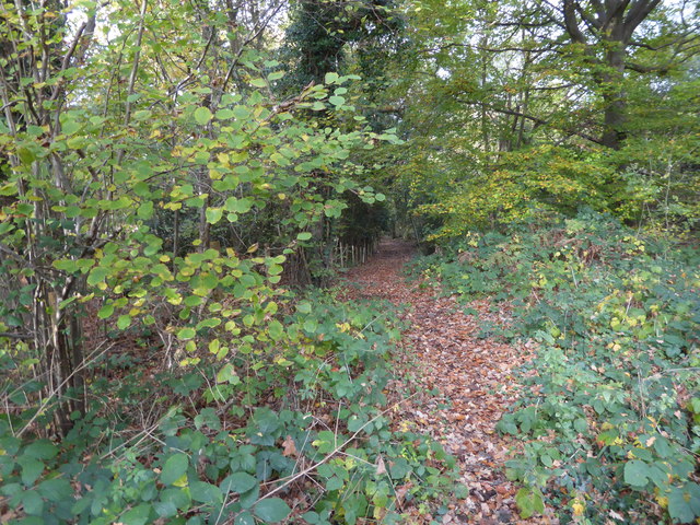
The wood is primarily composed of broadleaf trees, including oak, beech, and ash, which create a rich and vibrant canopy overhead. The forest floor is carpeted with a variety of wildflowers, ferns, and mosses, adding to its enchanting atmosphere. The dense vegetation provides a haven for numerous bird species, such as woodpeckers, thrushes, and owls, making it a popular spot for birdwatchers.
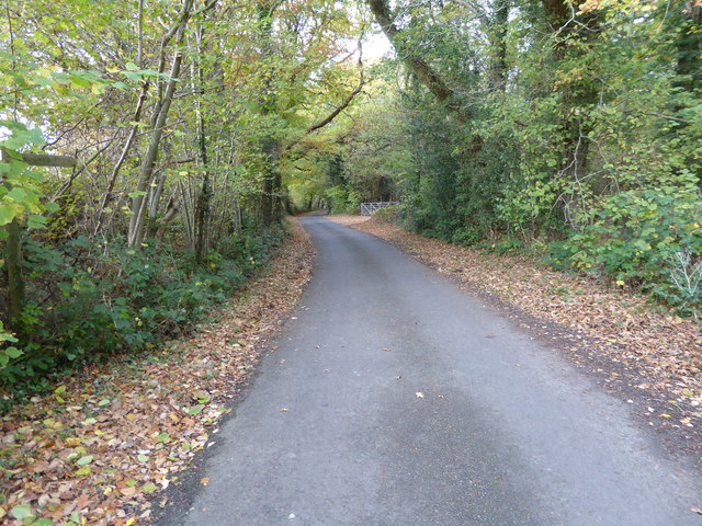
Traversing Beershop Wood, visitors can enjoy a network of well-maintained footpaths that wind through the forest, offering stunning views and opportunities to spot wildlife. The trails are suitable for walkers of all abilities and provide a refreshing escape from the hustle and bustle of everyday life.
Being part of the Sussex countryside, Beershop Wood is also home to a variety of mammals, including roe deer, foxes, and badgers. The wood's secluded nature provides a safe haven for these creatures, and lucky visitors may catch a glimpse of them during their explorations.
Beershop Wood is a popular destination for both locals and tourists looking to immerse themselves in the beauty of nature. Its tranquil ambiance, combined with its diverse flora and fauna, make it an ideal location for those seeking solace in the great outdoors.
If you have any feedback on the listing, please let us know in the comments section below.
Beershop Wood Images
Images are sourced within 2km of 50.983261/-0.18902335 or Grid Reference TQ2721. Thanks to Geograph Open Source API. All images are credited.


Beershop Wood is located at Grid Ref: TQ2721 (Lat: 50.983261, Lng: -0.18902335)
Administrative County: West Sussex
District: Mid Sussex
Police Authority: Sussex
What 3 Words
///surprises.avid.keyboard. Near Cuckfield, West Sussex
Nearby Locations
Related Wikis
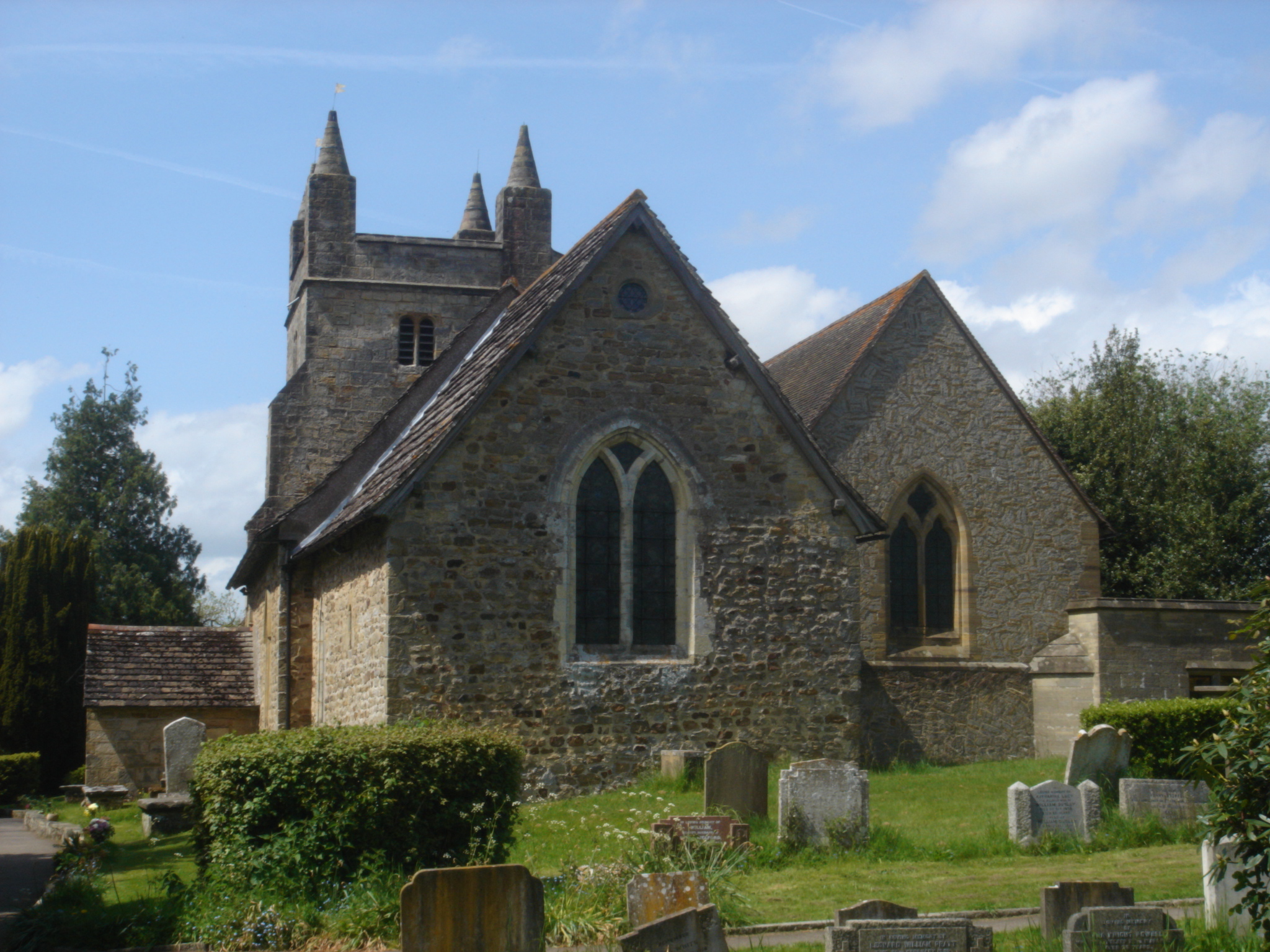
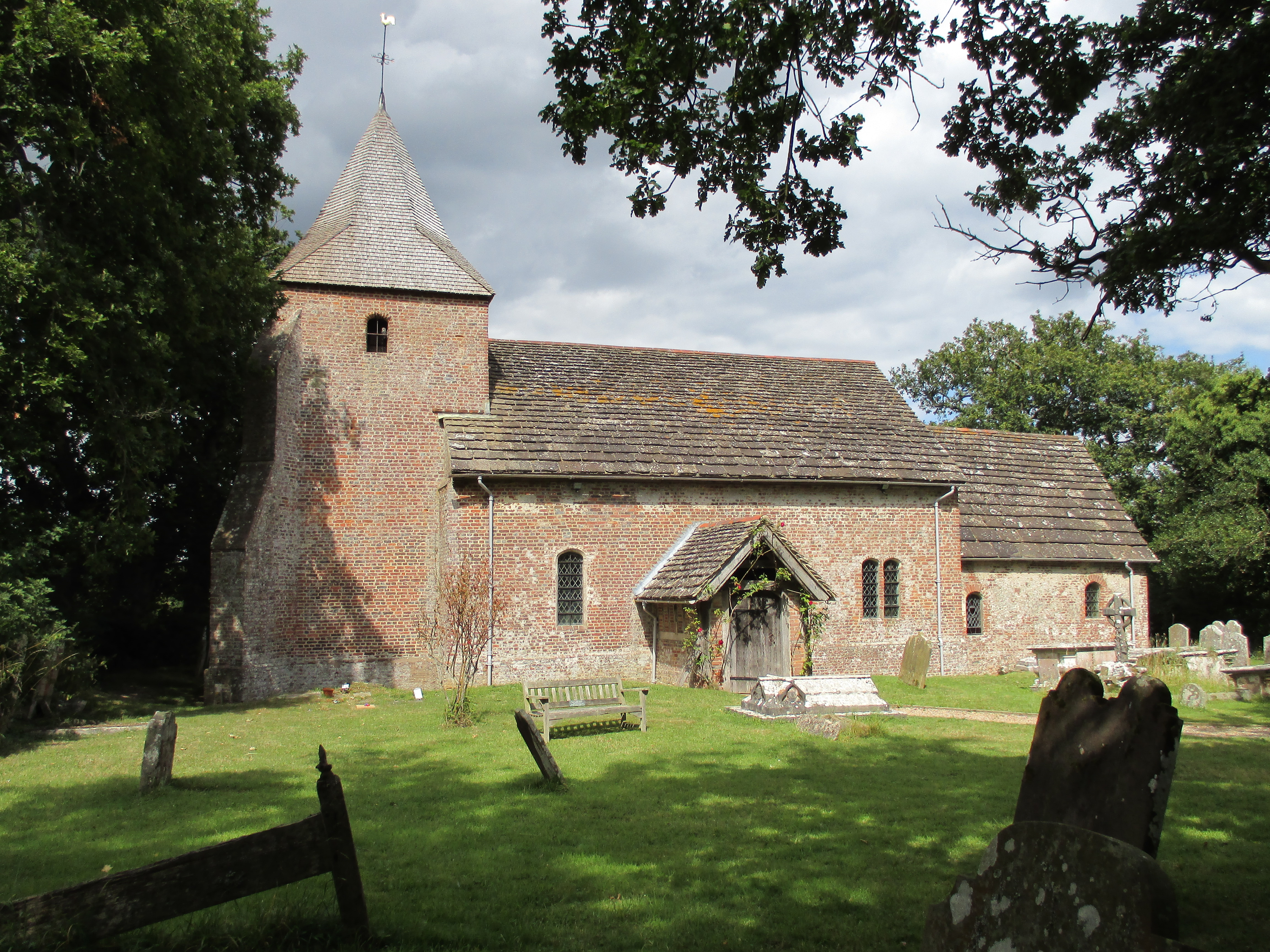
St Mary Magdalene's Church, Bolney
St Mary Magdalene's Church is an Anglican church in the village of Bolney in Mid Sussex, one of seven local government districts in the English county...

Bolney
Bolney is a village and civil parish in the Mid Sussex district of West Sussex, England. It lies 36 miles (58 km) south of London, 11 miles (18 km) north...

Ansty and Staplefield
Ansty and Staplefield, previously Cuckfield Rural, is a civil parish in the Mid Sussex District of West Sussex, England, covering an area from the north...
Goddards Green, West Sussex
Goddards Green (Goddards' Green on Ordnance Survey maps) is a hamlet in the Mid Sussex District of West Sussex, England. It is in the civil parish of Hurstpierpoint...

Ansty, West Sussex
Ansty is a village in the Mid Sussex district of West Sussex, England. It lies on the A272 road 1.4 miles (2.2 km) southwest of Cuckfield. It is in the...
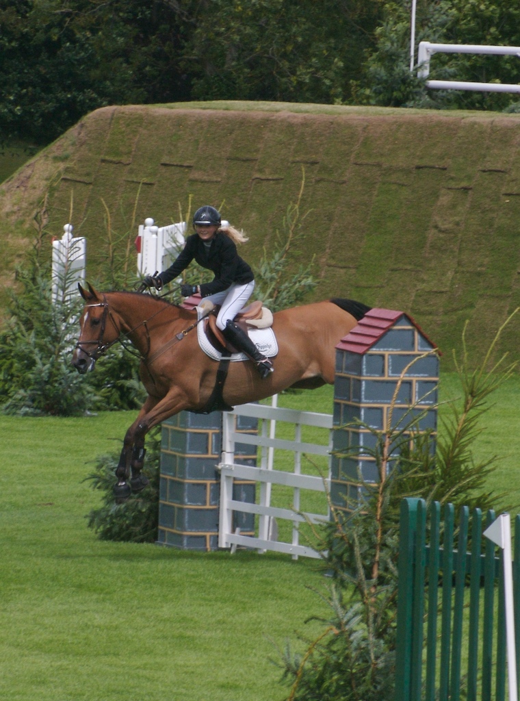
All England Jumping Course at Hickstead
The All England Jumping Course at Hickstead, known widely as Hickstead, is an equestrian centre in West Sussex, England, principally known for its showjumping...

The Dene Hospital
The Dene Hospital is a private hospital in Gatehouse Lane, Goddards Green, West Sussex, England. It is managed by the Priory Group. == History == The original...
Twineham
Twineham is a village and civil parish in the Mid Sussex District of West Sussex, England. It is located eight kilometres (5 miles) to the west of Burgess...
Nearby Amenities
Located within 500m of 50.983261,-0.18902335Have you been to Beershop Wood?
Leave your review of Beershop Wood below (or comments, questions and feedback).