Aston Bury Manor

Heritage Site in Hertfordshire Stevenage

England

Aston Bury Manor

Harwood Park Crematorium. I took this photograph just before attending a funeral here.  Note the blue sky.  Within 20 minutes the sky was black, it started thundering and hailing - just as the congregation started on "morning has broken".  Just like a scene from "The Exorsist or The Omen.
Harwood Park Crematorium. Credit: Robin Hall

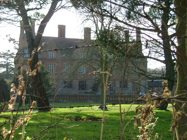
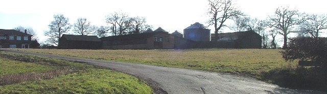
Aston Bury Manor, located in Hertfordshire, England, is a renowned historic site that offers visitors a glimpse into the rich heritage of the area. The manor is believed to have been built in the 13th century, making it a significant architectural and historical landmark. Set amidst picturesque countryside, the manor boasts an impressive array of architectural styles, including medieval, Tudor, and Georgian elements.

The manor's most notable feature is its medieval hall, which showcases exquisite timberwork and a stunning hammerbeam roof. This grand hall is a testament to the craftsmanship of the period and provides a unique insight into the lifestyle of the medieval elite. The manor also features a beautiful moat that surrounds the property, adding to its charm and authenticity.

Visitors can explore the well-preserved gardens that surround the manor, which include carefully manicured lawns, vibrant flowerbeds, and serene water features. The gardens offer a tranquil space for visitors to relax and enjoy the peaceful ambiance of the estate.

Aston Bury Manor has been carefully restored and maintained over the years, ensuring that its historical significance and architectural beauty are preserved for future generations to appreciate. The manor is open to the public and offers guided tours, allowing visitors to delve deep into the history of the site and learn about its fascinating past.

Overall, Aston Bury Manor stands as a testament to the rich heritage of Hertfordshire, providing a captivating glimpse into the lives of those who once inhabited this magnificent estate.

If you have any feedback on the listing, please let us know in the comments section below.

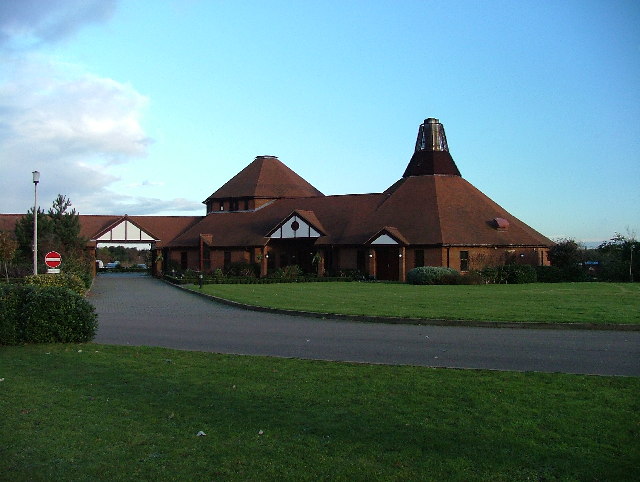
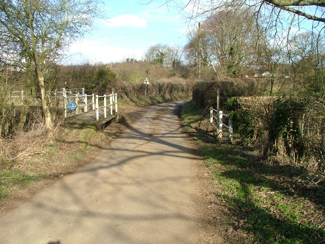
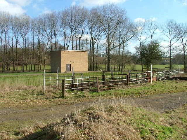
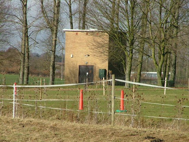
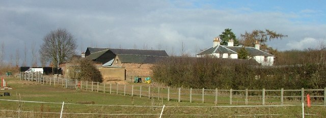
Aston Bury Manor Images

Images are sourced within 2km of 51.877/-0.148 or Grid Reference TL2721. Thanks to Geograph Open Source API. All images are credited.

Harwood Park Crematorium. I took this photograph just before attending a funeral here.  Note the blue sky.  Within 20 minutes the sky was black, it started thundering and hailing - just as the congregation started on "morning has broken".  Just like a scene from "The Exorsist or The Omen.
Harwood Park Crematorium.
I took this photograph just before attending a funeral here. Note the blue sky. Within 20 minutes the sky was black, it started thundering and hailing - just as the congregation started on "morning has broken". Just like a scene from "The Exorsist or The Omen.
Ridlins Athletics Track This photo of the Ridlins Athletics track shows the west corner and the Bert Hill stand.  The back of the stand has space for community groups such as playgroups.
Ridlins Athletics Track
This photo of the Ridlins Athletics track shows the west corner and the Bert Hill stand. The back of the stand has space for community groups such as playgroups.
Football pitches These are to the north west of the running track.
Football pitches
These are to the north west of the running track.
Footbridge over Stevenage Brook. This footpath runs parallel to and within 30 yards of the main Stevenage - Hertford Road.
Footbridge over Stevenage Brook.
This footpath runs parallel to and within 30 yards of the main Stevenage - Hertford Road.
Shops in Kenilworth Close. Supermarket, newsagent, Chinese takeaway and alternative therapist.
Shops in Kenilworth Close.
Supermarket, newsagent, Chinese takeaway and alternative therapist.
Longmeadow Evangelical Church Many of Stevenage's churche seem to thrive and this is one of them.
Longmeadow Evangelical Church
Many of Stevenage's churche seem to thrive and this is one of them.
St Mary's Church, Aston The church is built of flint with stone dressings on the nave and chancel and the roofs are covered with copper.
St Mary's Church, Aston
The church is built of flint with stone dressings on the nave and chancel and the roofs are covered with copper.
Footbridge and Ford over River Beane. "River" is a bit of a grand description for what is little more than a trickle at this point (although other images for this square and the one to the north suggest that it can get pretty wet down here).
Footbridge and Ford over River Beane.
"River" is a bit of a grand description for what is little more than a trickle at this point (although other images for this square and the one to the north suggest that it can get pretty wet down here).
Pumping house and cattle crush at Ford across River Beane. One of a pair of similar pumping houses on the River Beane.
Pumping house and cattle crush at Ford across River Beane.
One of a pair of similar pumping houses on the River Beane.
Pumping station on River Beane. For some reason this trickle known as the River (river?) Beane has a cluster of pumping stations near this spot.  The neighbour is Whitehall Pumping Station Number 1.  So this must be number 2 then.
Pumping station on River Beane.
For some reason this trickle known as the River (river?) Beane has a cluster of pumping stations near this spot. The neighbour is Whitehall Pumping Station Number 1. So this must be number 2 then.
White Hall Farm Taken on a lovely sunny day.  Other days are also available.
White Hall Farm
Taken on a lovely sunny day. Other days are also available.
Aston Bury. The best shot that I could manage without trespassing.
Aston Bury.
The best shot that I could manage without trespassing.
Astonbury Bury Farm Across the fields from Aston Bury.
Astonbury Bury Farm
Across the fields from Aston Bury.
Dead roadside tree.
Dead roadside tree.
Aston war memorial. Next door to the church.
Aston war memorial.
Next door to the church.
Pallett's Wood. A stitched together panorama.  The sky didn't really look exactly like that.
Pallett's Wood.
A stitched together panorama. The sky didn't really look exactly like that.
Hazel Farm Photographed into the sun I'm afraid.
Hazel Farm
Photographed into the sun I'm afraid.
Raffin Lane passes under the Hertford loop of the Stevenage - London railway. Hale's Wood on the left.
Raffin Lane passes under the Hertford loop of the Stevenage - London railway.
Hale's Wood on the left.
Show me another place!

Aston Bury Manor is located at Grid Ref: TL2721 (Lat: 51.877, Lng: -0.148)

Administrative County: Hertfordshire

District: Stevenage

Police Authority: Hertfordshire

What 3 Words

///inflamed.doll.opts. Near Knebworth, Hertfordshire

Related Wikis

Aston Bury

Aston Bury is a manor house near Aston, Hertfordshire, England. It is Grade I listed building.It was built in the mid 17th century, possibly by the Boteler...

A602 road

The A602 is a road linking Hitchin in Hertfordshire, England, with A10 at Ware in Hertfordshire, via Stevenage. The course of the road has changed significantly...

Aston, Hertfordshire

Aston is a village and civil parish in the East Hertfordshire district of Hertfordshire, England. According to the 2001 census it had a population of...

Stevenage (UK Parliament constituency)

Stevenage is a constituency in Hertfordshire represented in the House of Commons of the UK Parliament since 2010 by Stephen McPartland, a member of the...

Ridlins Mire

Ridlins Mire is a 1.6-hectare (4.0-acre) nature reserve managed by the Herts and Middlesex Wildlife Trust in Stevenage, Hertfordshire, England.This wetland...

Bragbury End

Bragbury End is a hamlet in Hertfordshire, England, and the location of Stevenage F.C.'s training ground.

Barnwell School

Barnwell School is a coeducational secondary school and sixth form that was established in 1959 and is situated in the south of Stevenage, Hertfordshire...

Benington High Wood

Benington High Wood is a 20.7-hectare (51-acre) biological Site of Special Scientific Interest in Benington, Hertfordshire. The planning authority is East...

Nearby Amenities

Located within 500m of 51.877,-0.148
Material: wood
Power: pole
Lat/Long: 51.8800523/-0.1495033
Material: wood
Power: pole
Lat/Long: 51.8806057/-0.1458638
Material: wood
Power: pole
Lat/Long: 51.8811372/-0.1471164
Material: wood
Power: pole
Lat/Long: 51.8805941/-0.1483046
Material: wood
Power: pole
Lat/Long: 51.8796751/-0.1511182
Material: wood
Power: pole
Lat/Long: 51.8795344/-0.1526042
Material: wood
Power: pole
Lat/Long: 51.8794069/-0.1539024
Material: wood
Power: pole
Lat/Long: 51.8799715/-0.1432137
Material: wood
Power: pole
Lat/Long: 51.8799682/-0.1443564
Information: board
Tourism: information
Lat/Long: 51.8767719/-0.1462745
Barrier: entrance
Lat/Long: 51.876592/-0.1523912
Ford: yes
Lat/Long: 51.8756228/-0.1490891
Barrier: stile
Material: wood
Step Count: 2
Stile: stepover
Lat/Long: 51.8804914/-0.1469549
The data included in this document is from www.openstreetmap.org. The data is made available under ODbL.

Have you been to Aston Bury Manor?

Leave your review of Aston Bury Manor below (or comments, questions and feedback).