Highlands Wood

Wood, Forest in Sussex Mid Sussex

England

Highlands Wood

Deak's Lane Westup Wood is in the distance.
Deak's Lane Credit: Marathon

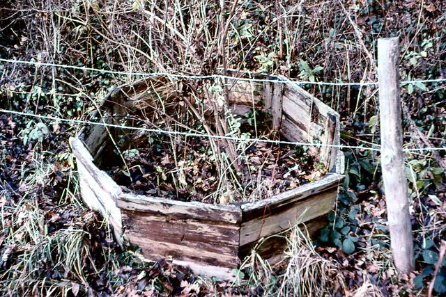
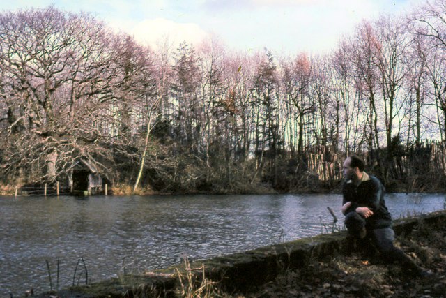
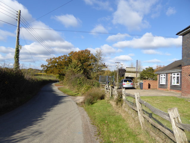
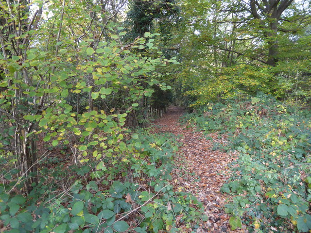
Highlands Wood is a picturesque woodland located in Sussex, England. Covering an area of approximately 100 acres, the wood is a haven of tranquility and natural beauty. It is part of the South Downs National Park, renowned for its stunning landscapes and diverse wildlife.

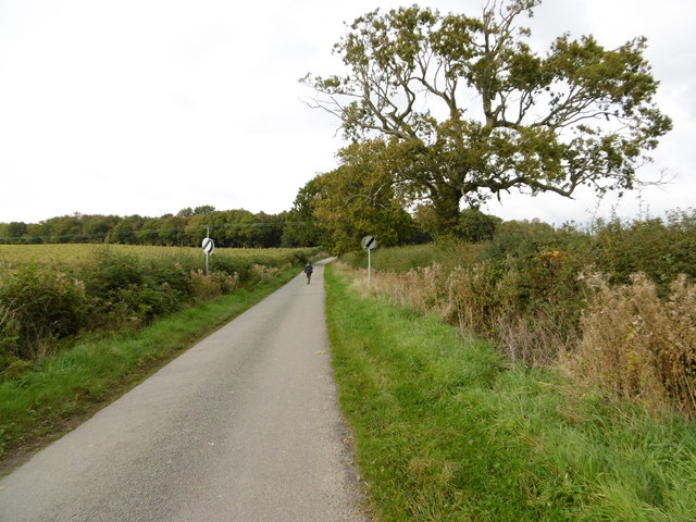
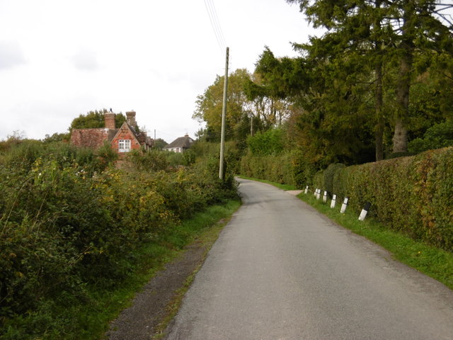
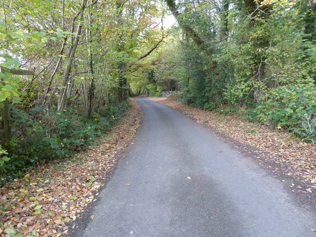
The wood is characterized by its dense canopy of broadleaf trees, including oak, beech, and ash, which provide shade and create a sense of intimacy within the forest. A network of well-maintained footpaths crisscrosses the wood, allowing visitors to explore its various sections and discover hidden gems along the way.

Highlands Wood is home to a rich variety of plant and animal species, making it a popular spot for nature enthusiasts. Bluebells carpet the forest floor in spring, creating a breathtaking display of vibrant colors. The wood also supports a diverse range of birdlife, including woodpeckers, nuthatches, and tawny owls, which can be spotted and heard throughout the year.

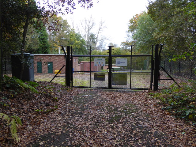
The tranquil atmosphere and natural beauty of Highlands Wood make it a perfect destination for outdoor activities such as walking, jogging, or picnicking. The wood is well-maintained by local authorities, ensuring that visitors can enjoy a safe and pleasant experience.

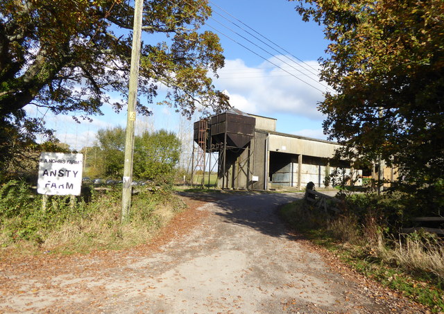
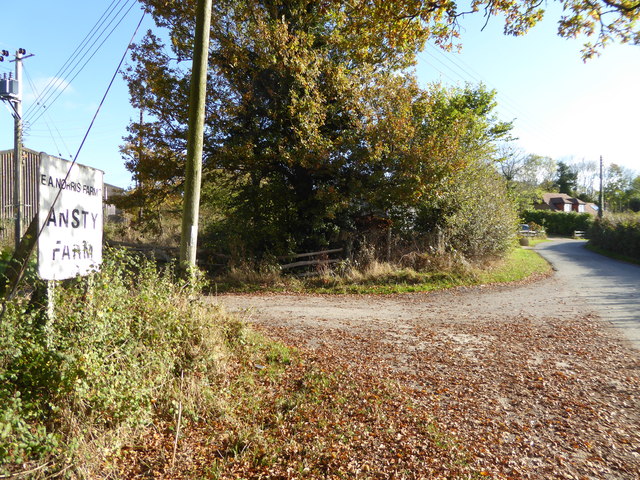
In addition to its natural attractions, Highlands Wood has historical significance as well. It is believed to have been part of the ancient Wealden Forest, which covered large areas of Sussex during medieval times. Today, remnants of this history can still be found within the wood, adding an extra layer of charm and intrigue to the overall experience.

Overall, Highlands Wood is a captivating destination, offering visitors the chance to immerse themselves in the beauty of nature while experiencing a slice of Sussex's rich history.

If you have any feedback on the listing, please let us know in the comments section below.

Highlands Wood Images

Images are sourced within 2km of 50.992684/-0.1918628 or Grid Reference TQ2623. Thanks to Geograph Open Source API. All images are credited.

Deak's Lane Westup Wood is in the distance.
Deak's Lane
Westup Wood is in the distance.
Deak's Lane This is just north of Ansty before countryside is reached.
Deak's Lane
This is just north of Ansty before countryside is reached.
A23, northbound The A23 is a 53 mile long road between London and Brighton.
Wikipedia: <span class="nowrap"><a title="http://en.wikipedia.org/wiki/A23_road" rel="nofollow ugc noopener" href="http://en.wikipedia.org/wiki/A23_road">Link</a><img style="margin-left:2px;" alt="External link" title="External link - shift click to open in new window" src="https://s1.geograph.org.uk/img/external.png" width="10" height="10"/></span>
A23, northbound
The A23 is a 53 mile long road between London and Brighton. Wikipedia: LinkExternal link
Broxmead Lane over the A23 The A23 is a 53 mile long road between London and Brighton.
Wikipedia: <span class="nowrap"><a title="http://en.wikipedia.org/wiki/A23_road" rel="nofollow ugc noopener" href="http://en.wikipedia.org/wiki/A23_road">Link</a><img style="margin-left:2px;" alt="External link" title="External link - shift click to open in new window" src="https://s1.geograph.org.uk/img/external.png" width="10" height="10"/></span>
Broxmead Lane over the A23
The A23 is a 53 mile long road between London and Brighton. Wikipedia: LinkExternal link
Pylon by the A23 The A23 is a 53 mile long road between London and Brighton.
Wikipedia: <span class="nowrap"><a title="http://en.wikipedia.org/wiki/A23_road" rel="nofollow ugc noopener" href="http://en.wikipedia.org/wiki/A23_road">Link</a><img style="margin-left:2px;" alt="External link" title="External link - shift click to open in new window" src="https://s1.geograph.org.uk/img/external.png" width="10" height="10"/></span>
Pylon by the A23
The A23 is a 53 mile long road between London and Brighton. Wikipedia: LinkExternal link
A23, northbound The A23 is a 53 mile long road between London and Brighton.
Wikipedia: <span class="nowrap"><a title="http://en.wikipedia.org/wiki/A23_road" rel="nofollow ugc noopener" href="http://en.wikipedia.org/wiki/A23_road">Link</a><img style="margin-left:2px;" alt="External link" title="External link - shift click to open in new window" src="https://s1.geograph.org.uk/img/external.png" width="10" height="10"/></span>
A23, northbound
The A23 is a 53 mile long road between London and Brighton. Wikipedia: LinkExternal link
The Stone Floor The remains of Bolney water mill, with a pair of stones still in place. The site has now been cleared.
The Stone Floor
The remains of Bolney water mill, with a pair of stones still in place. The site has now been cleared.
All That Was Left The remains of Bolney water mill, now cleared away.
All That Was Left
The remains of Bolney water mill, now cleared away.
Discarded Casing That once surrounded the stones in the adjacent derelict water mill.
Discarded Casing
That once surrounded the stones in the adjacent derelict water mill.
The Mill Pond The southern tip of the lower mill pond viewed from the dam.
The Mill Pond
The southern tip of the lower mill pond viewed from the dam.
A23 northbound near Bolney
Bend on Deak's Lane See also <a title="https://www.geograph.org.uk/photo/4197084" href="https://www.geograph.org.uk/photo/4197084">Link</a>.
Bend on Deak's Lane
See also Link.
Deak's Lane going north
Entrance to yard of Ansty Farm See also <a title="https://www.geograph.org.uk/photo/3383709" href="https://www.geograph.org.uk/photo/3383709">Link</a>.
Entrance to yard of Ansty Farm
See also Link.
Looking southwards on Deak's Lane at Ansty Farm
Looking north on Bishopstone Lane from bridleway junction
Pink's Lane This bridleway connects Bishopstone Lane and Bolney Road.
Pink's Lane
This bridleway connects Bishopstone Lane and Bolney Road.
Ansty Pressure Reducing Station See also <a title="https://www.geograph.org.uk/photo/1784219" href="https://www.geograph.org.uk/photo/1784219">Link</a> from 2010.
Ansty Pressure Reducing Station
See also Link from 2010.
Show me another place!

Highlands Wood is located at Grid Ref: TQ2623 (Lat: 50.992684, Lng: -0.1918628)

Administrative County: West Sussex

District: Mid Sussex

Police Authority: Sussex

What 3 Words

///shuttle.fairy.dignify. Near Cuckfield, West Sussex

Related Wikis

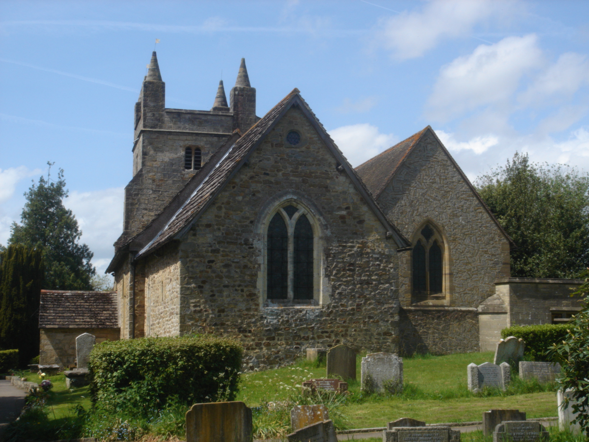
St Mary Magdalene's Church, Bolney

St Mary Magdalene's Church is an Anglican church in the village of Bolney in Mid Sussex, one of seven local government districts in the English county...
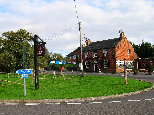
Bolney

Bolney is a village and civil parish in the Mid Sussex district of West Sussex, England. It lies 36 miles (58 km) south of London, 11 miles (18 km) north...

Ansty and Staplefield

Ansty and Staplefield, previously Cuckfield Rural, is a civil parish in the Mid Sussex District of West Sussex, England, covering an area from the north...

Wykehurst Place

Wykehurst Place (or Park) is a Gothic Revival mansion in Bolney, West Sussex, England, resembling more the châteaux of the Loire than an English manor...

Ansty, West Sussex

Ansty is a village in the Mid Sussex district of West Sussex, England. It lies on the A272 road 1.4 miles (2.2 km) southwest of Cuckfield. It is in the...

Colwood, West Sussex

Colwood is a village near Warninglid in West Sussex, England. It is the site of Colwood Manor. == References == The geographic coordinates are from the...

Goddards Green, West Sussex

Goddards Green (Goddards' Green on Ordnance Survey maps) is a hamlet in the Mid Sussex District of West Sussex, England. It is in the civil parish of Hurstpierpoint...

All England Jumping Course at Hickstead

The All England Jumping Course at Hickstead, known widely as Hickstead, is an equestrian centre in West Sussex, England, principally known for its showjumping...

Nearby Amenities

Located within 500m of 50.992684,-0.1918628
Barrier: stile
Lat/Long: 50.9937481/-0.1865523
Barrier: stile
Bicycle: private
Foot: yes
Horse: no
Motor Vehicle: no
Lat/Long: 50.9957786/-0.196128
Ford: yes
Lat/Long: 50.9948744/-0.1955164
Barrier: stile
Lat/Long: 50.9902962/-0.1945388
The data included in this document is from www.openstreetmap.org. The data is made available under ODbL.

Have you been to Highlands Wood?

Leave your review of Highlands Wood below (or comments, questions and feedback).