Bolney Wood

Wood, Forest in Sussex Mid Sussex

England

Bolney Wood

Broxmead Lodge - on Broxmead Lane
Broxmead Lodge - on Broxmead Lane Credit: Ian Cunliffe

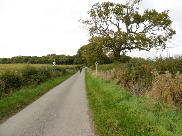
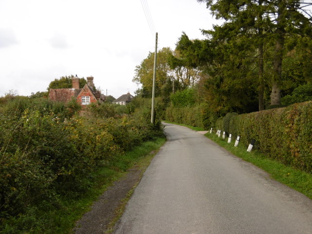
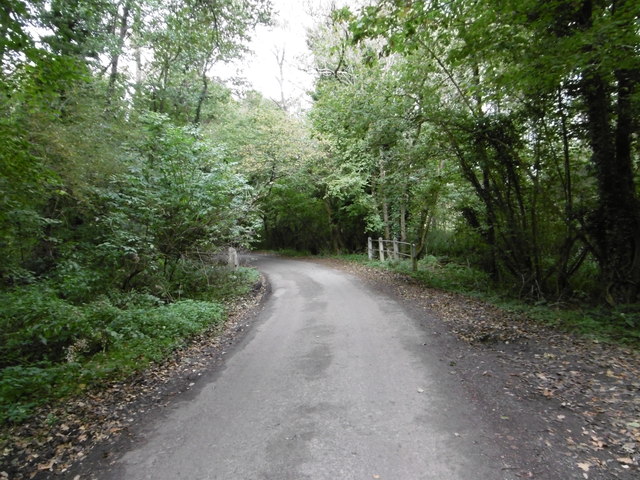
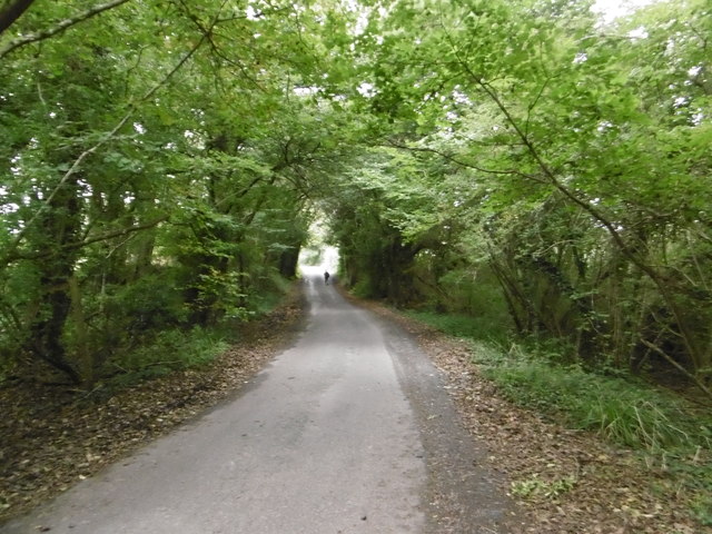
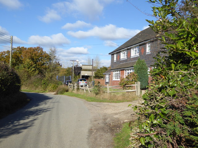
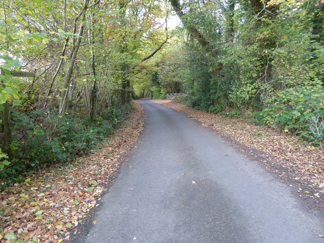
Bolney Wood is a picturesque woodland located in the county of Sussex, England. Covering an area of approximately 100 acres, it is a beautiful example of a mixed deciduous forest. The wood is situated near the village of Bolney and is easily accessible to visitors.

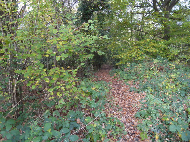
The woodland is characterized by its diverse range of tree species, including oak, beech, ash, and birch. These majestic trees provide a stunning canopy, particularly in the autumn when their leaves turn vibrant shades of red, orange, and gold. The forest floor is covered in a carpet of bluebells and wildflowers during the spring, adding to its natural beauty.

Bolney Wood is home to a variety of wildlife, making it a popular destination for nature enthusiasts. Visitors may spot a range of bird species, including woodpeckers, thrushes, and owls. The woodland is also inhabited by mammals such as deer, foxes, and badgers, as well as smaller creatures like squirrels and rabbits.

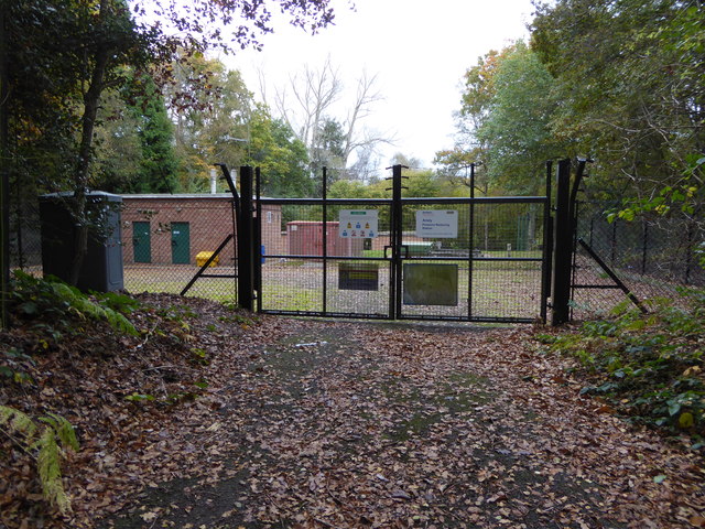
The wood is crisscrossed by a network of well-maintained trails, allowing visitors to explore its enchanting surroundings. These paths wind through the forest, providing opportunities for peaceful walks, birdwatching, or simply enjoying the tranquility of nature.

In addition to its natural beauty, Bolney Wood has historical significance. It has been a part of the local landscape for centuries and has likely witnessed many historic events and changes over time.

Overall, Bolney Wood is a captivating destination that offers visitors a chance to immerse themselves in the natural wonders of Sussex's woodland and appreciate the diverse flora and fauna it supports.

If you have any feedback on the listing, please let us know in the comments section below.
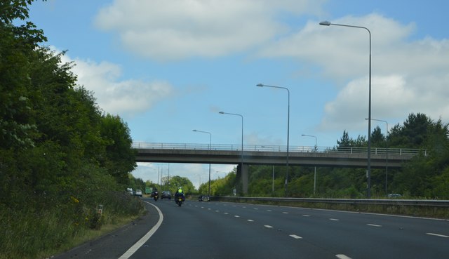
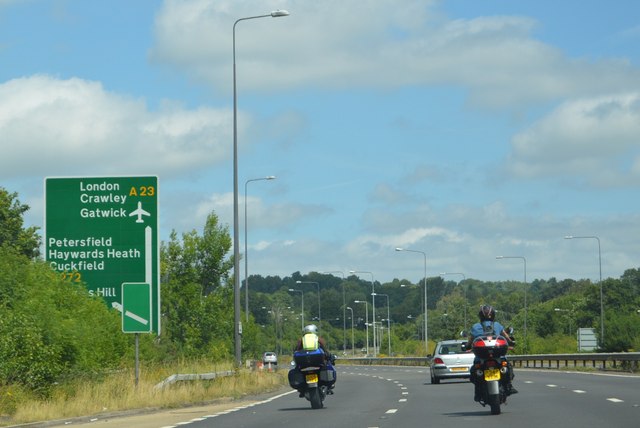
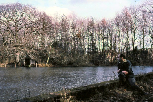
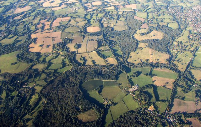
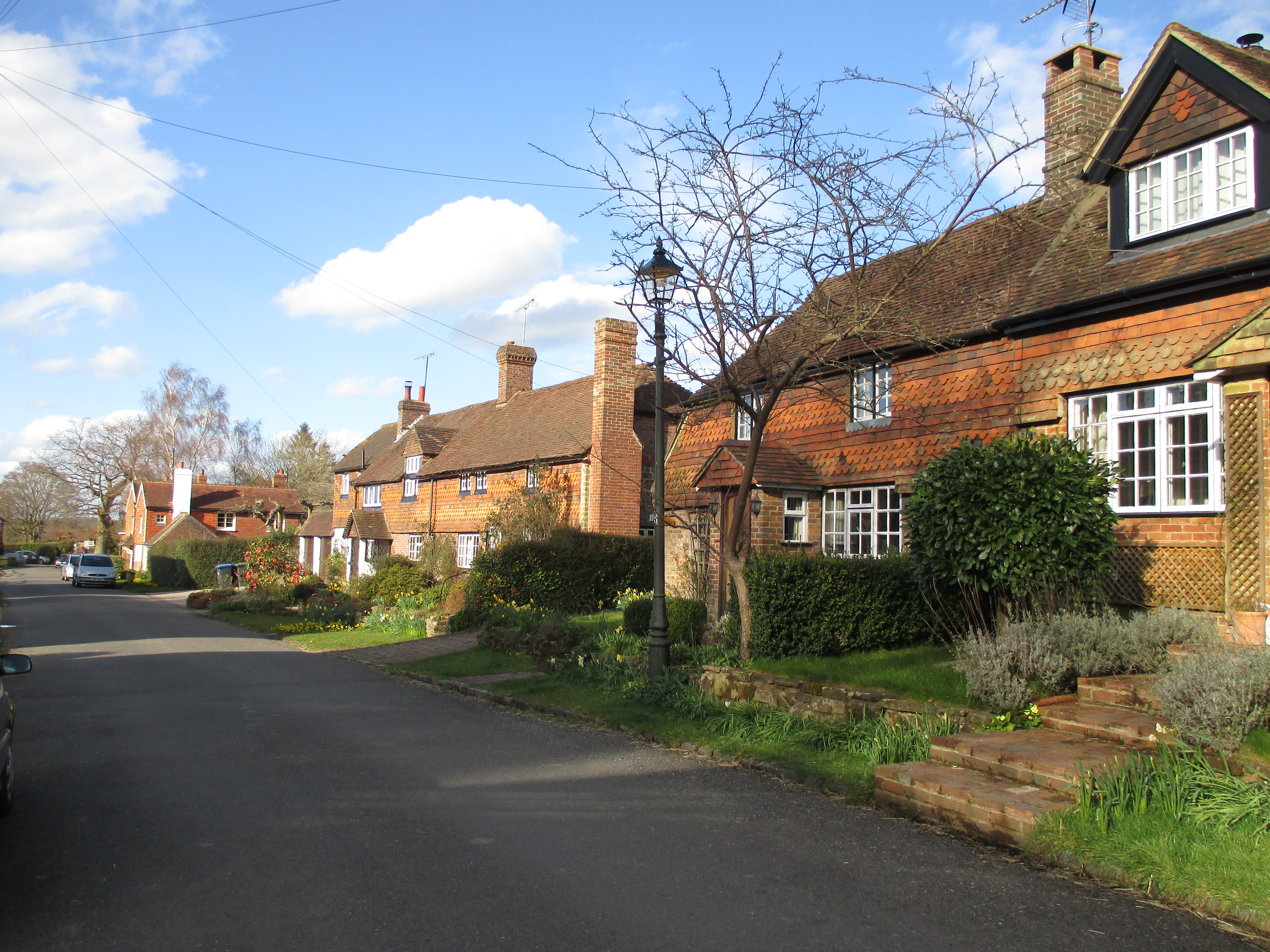
Bolney Wood Images

Images are sourced within 2km of 50.998454/-0.19273594 or Grid Reference TQ2623. Thanks to Geograph Open Source API. All images are credited.

Broxmead Lodge - on Broxmead Lane
Deak's Lane Westup Wood is in the distance.
Deak's Lane
Westup Wood is in the distance.
Deak's Lane This is just north of Ansty before countryside is reached.
Deak's Lane
This is just north of Ansty before countryside is reached.
Deak's Lane Deak's Lane crosses a stream here as it passes through Westup Wood.
Deak's Lane
Deak's Lane crosses a stream here as it passes through Westup Wood.
Deak's Lane passing through Westup Wood Pondtail Cottage is just ahead after leaving Westup Wood.
Deak's Lane passing through Westup Wood
Pondtail Cottage is just ahead after leaving Westup Wood.
Broxmead Lane over the A23 The A23 is a 53 mile long road between London and Brighton.
Wikipedia: <span class="nowrap"><a title="http://en.wikipedia.org/wiki/A23_road" rel="nofollow ugc noopener" href="http://en.wikipedia.org/wiki/A23_road">Link</a><img style="margin-left:2px;" alt="External link" title="External link - shift click to open in new window" src="https://s1.geograph.org.uk/img/external.png" width="10" height="10"/></span>
Broxmead Lane over the A23
The A23 is a 53 mile long road between London and Brighton. Wikipedia: LinkExternal link
A23, northbound The A23 is a 53 mile long road between London and Brighton.
Wikipedia: <span class="nowrap"><a title="http://en.wikipedia.org/wiki/A23_road" rel="nofollow ugc noopener" href="http://en.wikipedia.org/wiki/A23_road">Link</a><img style="margin-left:2px;" alt="External link" title="External link - shift click to open in new window" src="https://s1.geograph.org.uk/img/external.png" width="10" height="10"/></span>
A23, northbound
The A23 is a 53 mile long road between London and Brighton. Wikipedia: LinkExternal link
The Mill Pond The southern tip of the lower mill pond viewed from the dam.
The Mill Pond
The southern tip of the lower mill pond viewed from the dam.
Winscot from the air The tiny hamlet of Winscot is at upper centre, with woods almost all around, and the High Weald Landscape Trail crosses the image through it.
Winscot from the air
The tiny hamlet of Winscot is at upper centre, with woods almost all around, and the High Weald Landscape Trail crosses the image through it.
Bend on Deak's Lane See also <a title="https://www.geograph.org.uk/photo/4197084" href="https://www.geograph.org.uk/photo/4197084">Link</a>.
Bend on Deak's Lane
See also Link.
Deak's Lane going north
Entrance to yard of Ansty Farm See also <a title="https://www.geograph.org.uk/photo/3383709" href="https://www.geograph.org.uk/photo/3383709">Link</a>.
Entrance to yard of Ansty Farm
See also Link.
Looking southwards on Deak's Lane at Ansty Farm
Footpath by field boundary
Looking north on Bishopstone Lane from bridleway junction
Pink's Lane This bridleway connects Bishopstone Lane and Bolney Road.
Pink's Lane
This bridleway connects Bishopstone Lane and Bolney Road.
Ansty Pressure Reducing Station See also <a title="https://www.geograph.org.uk/photo/1784219" href="https://www.geograph.org.uk/photo/1784219">Link</a> from 2010.
Ansty Pressure Reducing Station
See also Link from 2010.
Show me another place!

Bolney Wood is located at Grid Ref: TQ2623 (Lat: 50.998454, Lng: -0.19273594)

Administrative County: West Sussex

District: Mid Sussex

Police Authority: Sussex

What 3 Words

///once.shadowing.portable. Near Cuckfield, West Sussex

Related Wikis

Ansty and Staplefield

Ansty and Staplefield, previously Cuckfield Rural, is a civil parish in the Mid Sussex District of West Sussex, England, covering an area from the north...

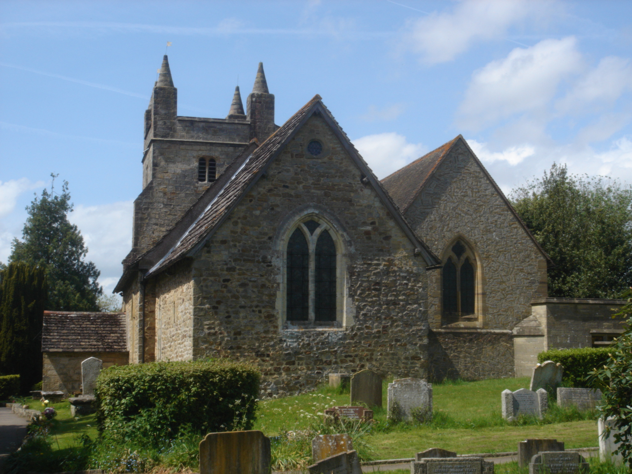
St Mary Magdalene's Church, Bolney

St Mary Magdalene's Church is an Anglican church in the village of Bolney in Mid Sussex, one of seven local government districts in the English county...

Bolney

Bolney is a village and civil parish in the Mid Sussex district of West Sussex, England. It lies 36 miles (58 km) south of London, 11 miles (18 km) north...

Wykehurst Place

Wykehurst Place (or Park) is a Gothic Revival mansion in Bolney, West Sussex, England, resembling more the châteaux of the Loire than an English manor...

Ansty, West Sussex

Ansty is a village in the Mid Sussex district of West Sussex, England. It lies on the A272 road 1.4 miles (2.2 km) southwest of Cuckfield. It is in the...

Colwood, West Sussex

Colwood is a village near Warninglid in West Sussex, England. It is the site of Colwood Manor. == References == The geographic coordinates are from the...

Warninglid

Warninglid (historically known as Warninglyth and Warningeld) is a small village in the Mid Sussex District of West Sussex, England. It lies on the B2115...

Ockenden Manor

Ockenden Manor is located in Cuckfield, West Sussex, England. The building itself dates from 1520 and is operated as a hotel and restaurant by the Historic...

Nearby Amenities

Located within 500m of 50.998454,-0.19273594
Bus Stop
Broxmead Lane
Bus: yes
Naptan AtcoCode: 4400HR0528
Naptan Bearing: W
Naptan CommonName: Broxmead Lane
Naptan Indicator: Above A23
Naptan Landmark: Above A23
Naptan NaptanCode: wsxawpdw
Naptan Street: Broxmead Lane
Naptan Verified: no
Public Transport: platform
Source: naptan_import
Lat/Long: 51.0013632/-0.1973503
Bus Stop
Broxmead Lane
Bus: yes
Naptan AtcoCode: 4400HR0529
Naptan Bearing: NE
Naptan CommonName: Broxmead Lane
Naptan Indicator: Opp The Bolney Stage PH
Naptan Landmark: Broxmead Lane
Naptan NaptanCode: wsxawpga
Naptan Street: The old A23
Naptan Verified: no
Public Transport: platform
Source: naptan_import
Lat/Long: 51.0010959/-0.1983146
Barrier: stile
Bicycle: private
Foot: yes
Horse: no
Motor Vehicle: no
Lat/Long: 50.9957786/-0.196128
Post Box
Operator: Royal Mail
Post Box Type: lamp
Ref: RH17 34
Royal Cypher: EIIR
Royal Cypher Wikidata: Q33102113
Lat/Long: 51.0013156/-0.190184
Addr City: Haywards Heath
Addr Housename: Alder House
Addr Postcode: RH17 5RJ
Addr Street: Broxmead Lane
Addr Village: Bolney
Lat/Long: 51.0011763/-0.1959837
Addr City: Haywards Heath
Addr Housename: Hillcrest Cottages
Addr Postcode: RH17 5PY
Addr Street: London Road
Addr Village: Bolney
Lat/Long: 50.9978298/-0.1992197
Ford: yes
Lat/Long: 50.9948744/-0.1955164
Give Way
Direction: forward
Lat/Long: 51.0014489/-0.1977271
Give Way
Lat/Long: 51.0014058/-0.1956765
The data included in this document is from www.openstreetmap.org. The data is made available under ODbL.

Have you been to Bolney Wood?

Leave your review of Bolney Wood below (or comments, questions and feedback).