Long Wood
Wood, Forest in Hertfordshire Welwyn Hatfield
England
Long Wood
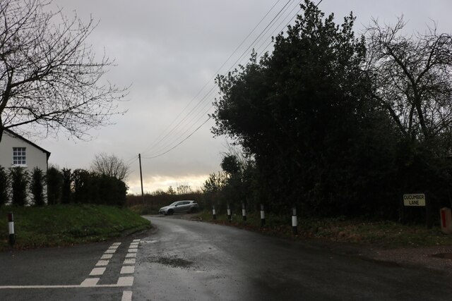
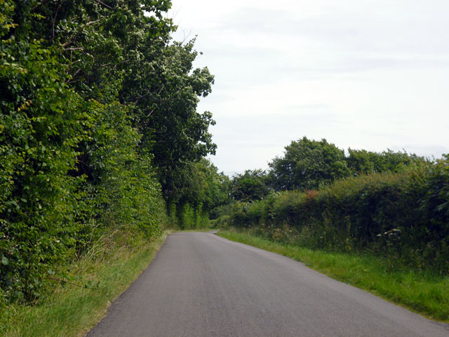
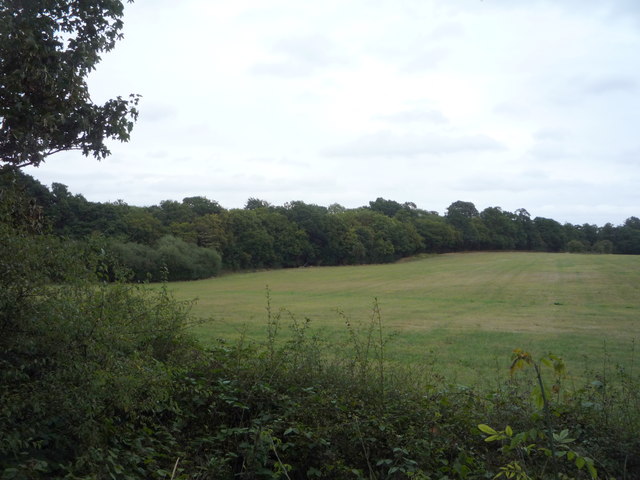
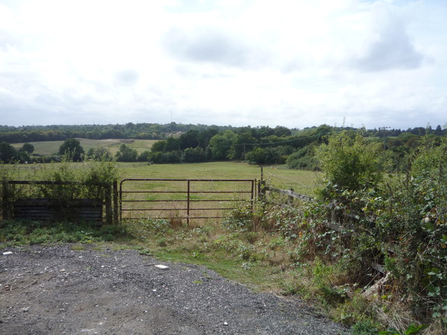
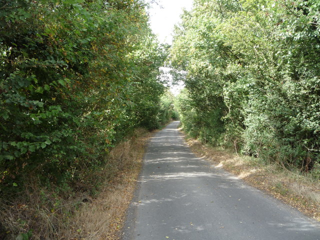
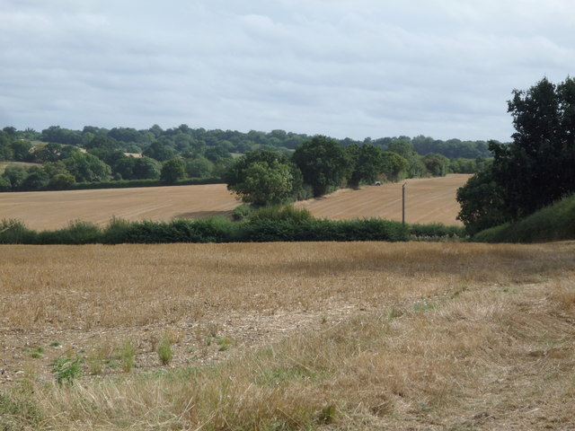
Long Wood is a picturesque forest located in the county of Hertfordshire, England. Covering an area of approximately 500 acres, it is known for its diverse ecosystem and abundant wildlife. The wood is situated near the village of Long Marston, providing a tranquil and natural escape for visitors.
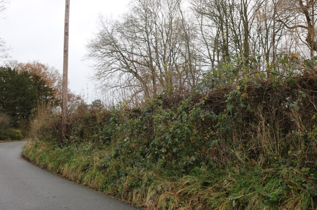
The forest is predominantly made up of deciduous trees, including oak, beech, and birch, which create a beautiful canopy overhead. The woodland floor is covered in a rich carpet of bluebells, ferns, and wildflowers, adding to the enchanting atmosphere. Walking through Long Wood, visitors can enjoy the crisp scent of pine and the sound of birdsong, making it a haven for nature enthusiasts and hikers.
The forest is home to a variety of wildlife, including deer, foxes, badgers, and a wide range of bird species. It also boasts a diverse range of insect life, with butterflies and dragonflies fluttering among the foliage. Nature lovers can spot rare and protected species, such as the white admiral butterfly and the great crested newt.
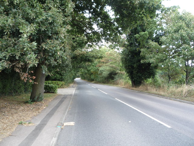
Long Wood offers several walking trails, allowing visitors to explore the beauty of the woodland at their own pace. The paths are well-maintained and signposted, ensuring a safe and enjoyable experience for all. Additionally, the forest provides designated picnic areas and benches, inviting visitors to relax and take in the breathtaking surroundings.
Overall, Long Wood in Hertfordshire is a serene and idyllic destination, providing a haven for nature enthusiasts, hikers, and those seeking a peaceful retreat in the heart of nature.
If you have any feedback on the listing, please let us know in the comments section below.
Long Wood Images
Images are sourced within 2km of 51.754325/-0.16171979 or Grid Reference TL2607. Thanks to Geograph Open Source API. All images are credited.


Long Wood is located at Grid Ref: TL2607 (Lat: 51.754325, Lng: -0.16171979)
Administrative County: Hertfordshire
District: Welwyn Hatfield
Police Authority: Hertfordshire
What 3 Words
///over.racks.most. Near Hatfield, Hertfordshire
Nearby Locations
Related Wikis

Essendon, Hertfordshire
Essendon is a village and civil parish in Hertfordshire 6 miles (10 km), south-west of Hertford. The village is on the B158 road 330 feet (100 m) above...
Little Berkhamsted
Little Berkhamsted is a village and civil parish in Hertfordshire, England, five miles south-west of the town of Hertford. The village is in a hilly location...

Welwyn Hatfield
Welwyn Hatfield is a local government district with borough status in the county of Hertfordshire, England. Its council is based in Welwyn Garden City...

Welwyn Hatfield (UK Parliament constituency)
Welwyn Hatfield is a constituency in Hertfordshire represented in the House of Commons of the UK Parliament since 2005 by Grant Shapps, a Conservative...

Woolmers Park
Woolmers Park is a Grade II* listed building in Hertfordshire, England. It was the residence of Claude Bowes-Lyon, 14th Earl of Strathmore and Kinghorne...

The Troopie
The Trooper, also popularly referred as The Troopie, is a Rhodesian statue and war memorial. It is located in the grounds of Hatfield House, home of the...
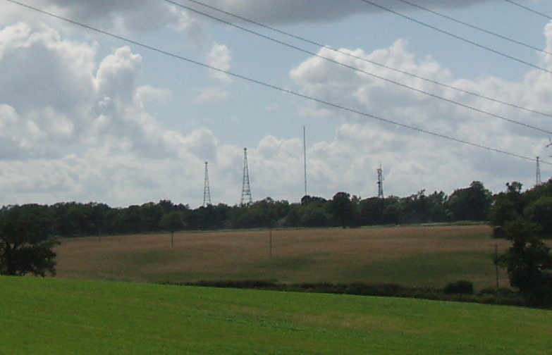
Brookmans Park transmitting station
The Brookmans Park transmitting station is a facility for medium wave (MW) broadcasting at Brookmans Park, Hertfordshire, north of London (grid reference...
Bell Bar
Bell Bar is a hamlet located in North Mymms, Hertfordshire, England. It is in the civil parish of North Mymms. Thought to be named after the ancient Bell...
Nearby Amenities
Located within 500m of 51.754325,-0.16171979Have you been to Long Wood?
Leave your review of Long Wood below (or comments, questions and feedback).