Ewhurst Wood
Wood, Forest in Sussex Crawley
England
Ewhurst Wood
Ewhurst Wood, located in Sussex, England, is a captivating woodland area renowned for its natural beauty and diverse ecosystem. Spanning over 200 acres, the wood is part of the Surrey Hills Area of Outstanding Natural Beauty, ensuring its protection and preservation.
The wood is predominantly composed of native broadleaf trees, including oak, beech, and chestnut, creating a rich canopy that provides shelter to a variety of woodland creatures. The forest floor is adorned with a tapestry of wildflowers, such as bluebells and primroses, which bloom vibrantly in the springtime.
Ewhurst Wood offers a haven for wildlife enthusiasts, as it is home to numerous species of birds, butterflies, and mammals. Visitors may spot woodpeckers, tawny owls, and sparrowhawks, among other avian species, while badgers, foxes, and deer roam the forest floor.
The wood is crisscrossed by a network of well-maintained footpaths, allowing visitors to explore its enchanting surroundings. These paths lead to picturesque viewpoints, where one can admire the breathtaking vistas of the surrounding countryside. The wood is also intersected by several streams and small ponds, adding to its tranquil ambiance.
Ewhurst Wood is a popular destination for nature lovers, hikers, and photographers seeking solace in its serene environment. Its accessibility and well-preserved natural landscape make it an ideal location for leisurely walks, picnics, and nature studies.
In conclusion, Ewhurst Wood stands as a testament to the beauty and diversity of Sussex's natural heritage. Its lush foliage, abundant wildlife, and peaceful atmosphere make it a must-visit destination for those seeking a connection with nature.
If you have any feedback on the listing, please let us know in the comments section below.
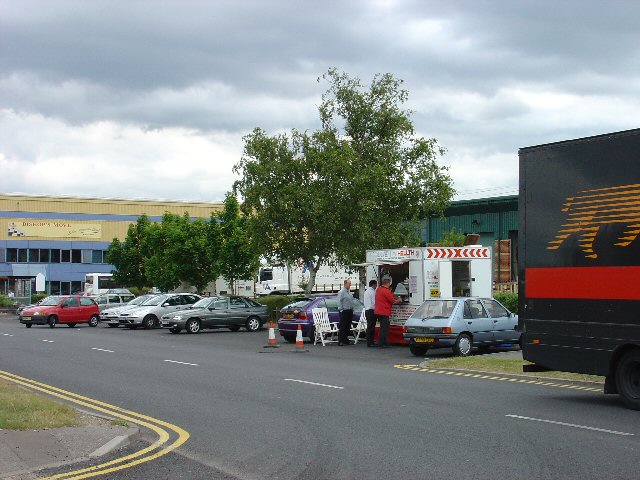
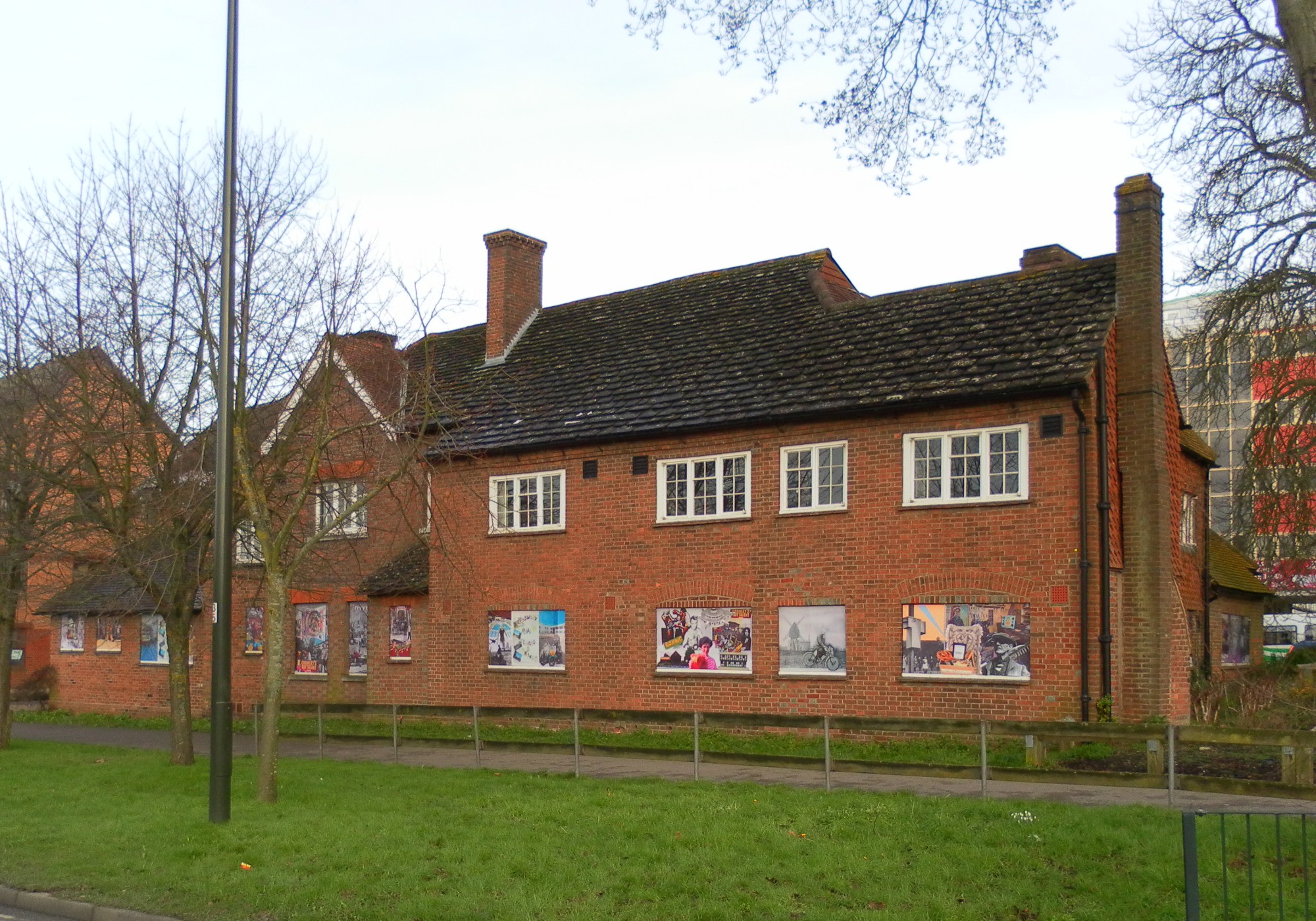
Ewhurst Wood Images
Images are sourced within 2km of 51.121268/-0.19890745 or Grid Reference TQ2637. Thanks to Geograph Open Source API. All images are credited.


Ewhurst Wood is located at Grid Ref: TQ2637 (Lat: 51.121268, Lng: -0.19890745)
Administrative County: West Sussex
District: Crawley
Police Authority: Sussex
What 3 Words
///lodge.risk.tender. Near Langley Green, West Sussex
Nearby Locations
Related Wikis

West Green, West Sussex
West Green is one of the 14 residential neighbourhoods in Crawley, a town and borough in West Sussex, England. Crawley was planned and laid out as a New...

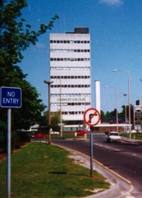
Crawley Hospital
Crawley Hospital is a National Health Service hospital in Crawley, a town and borough in West Sussex, England. Since 2006 it has been part of the Sussex...

Ifield, West Sussex
Ifield is a former village and now one of 14 neighbourhoods within the town of Crawley in West Sussex, England. Ifield is in the west of the town and...

Noor Mosque, Crawley
Noor mosque is an Ahmadi mosque in Crawley in the borough of West Sussex, England. The mosque was opened on 18 January 2014. == References ==
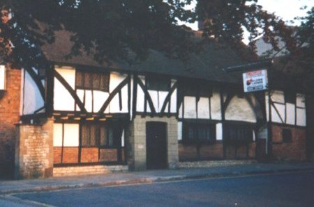
Tree House, Crawley
Tree House, also known as The Tree, is a medieval timber-framed house on the High Street in Crawley, a town and borough in West Sussex, England. It is...
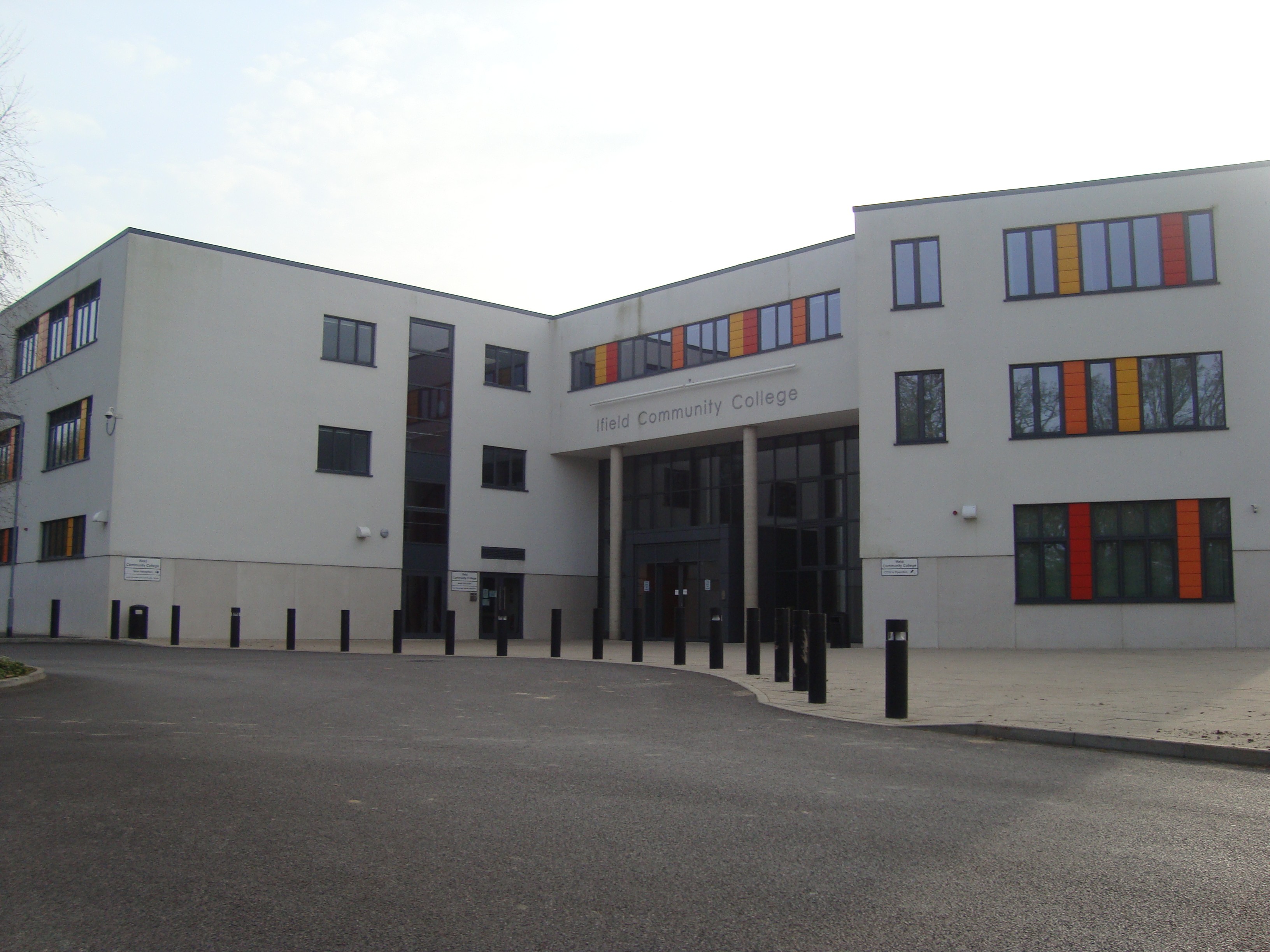
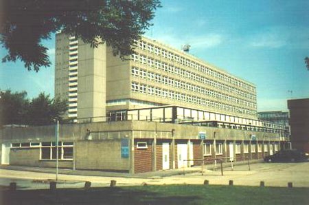
Ifield Community College
Ifield Community College (ICC) is a maintained comprehensive secondary school in Crawley, England, for pupils aged 11 to 18. == Admissions == It caters...

Old Punch Bowl
The Old Punch Bowl is a medieval timber-framed Wealden hall house on the High Street in Crawley, a town and borough in West Sussex, England. Built in...

Dyers Almshouses
The Dyers Almshouses are a group of 30 almshouses belonging to the Worshipful Company of Dyers, a London Livery Company. Built in three stages between...
Nearby Amenities
Located within 500m of 51.121268,-0.19890745Have you been to Ewhurst Wood?
Leave your review of Ewhurst Wood below (or comments, questions and feedback).