Ash Holt
Wood, Forest in Lincolnshire East Lindsey
England
Ash Holt
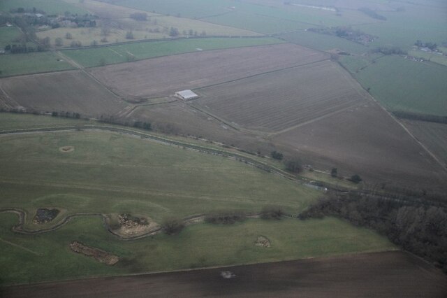
Ash Holt is a small village located in the county of Lincolnshire, England. Situated in the district of West Lindsey, it is nestled within a picturesque area known for its abundant woodlands and forests. The village is surrounded by lush greenery, making it an idyllic retreat for nature lovers and outdoor enthusiasts.
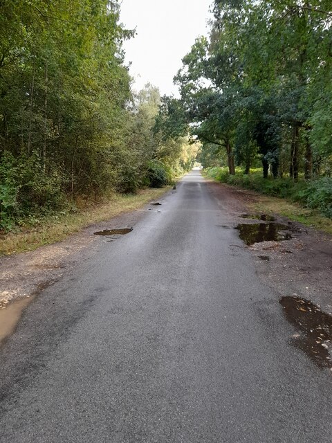
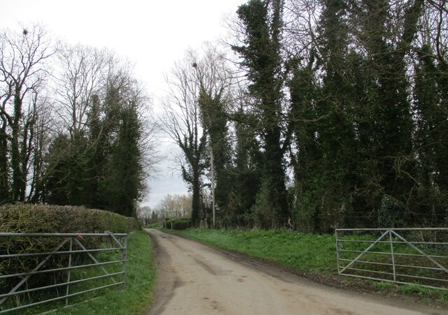
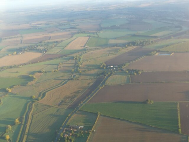
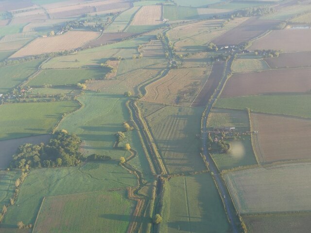
The woodlands surrounding Ash Holt offer an array of opportunities for activities such as hiking, walking, and birdwatching. The dense forest canopy provides a habitat for a diverse range of flora and fauna, including oak, birch, and beech trees, as well as various species of birds, mammals, and insects.
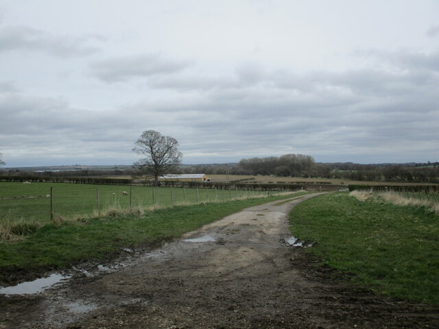
Despite its rural setting, Ash Holt benefits from good transport links, with the nearby A46 providing easy access to the nearby city of Lincoln and the wider region. This allows residents to enjoy the tranquility of village life while still being within reach of urban amenities.
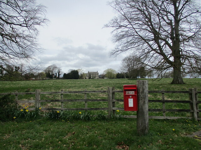
The village itself is characterized by its traditional charm, with a mix of period cottages and newer homes. The community in Ash Holt is tight-knit and friendly, with a strong sense of community spirit. The village is home to a local pub, which serves as a social hub for residents and visitors alike.
Overall, Ash Holt offers a peaceful and scenic environment, perfect for those seeking a serene rural lifestyle within close proximity to nature. Its woodlands, forested areas, and community spirit make it a truly special place to call home.
If you have any feedback on the listing, please let us know in the comments section below.
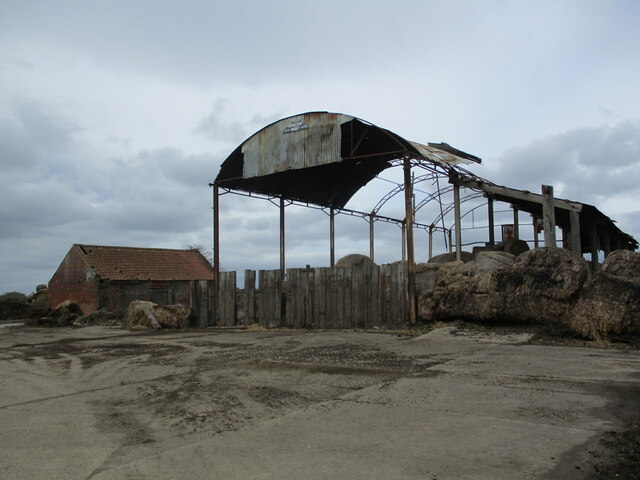
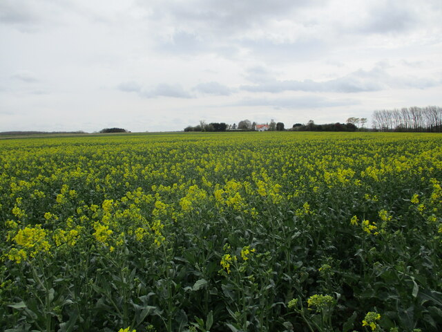
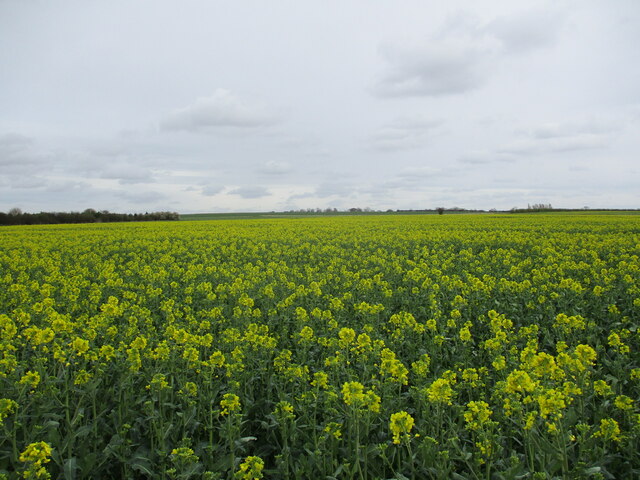
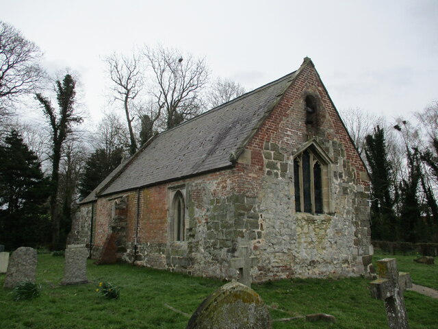
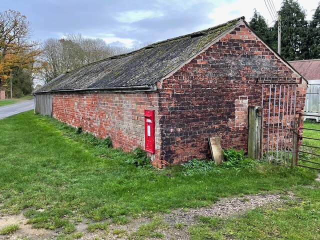
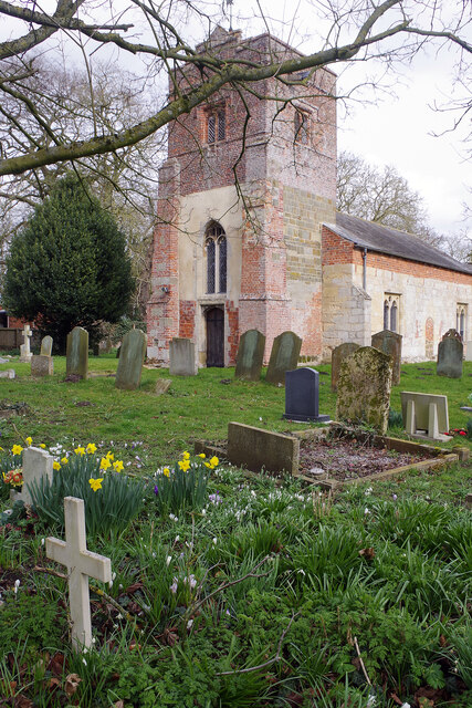
Ash Holt Images
Images are sourced within 2km of 53.17804/-0.16222277 or Grid Reference TF2266. Thanks to Geograph Open Source API. All images are credited.
Ash Holt is located at Grid Ref: TF2266 (Lat: 53.17804, Lng: -0.16222277)
Administrative County: Lincolnshire
District: East Lindsey
Police Authority: Lincolnshire
What 3 Words
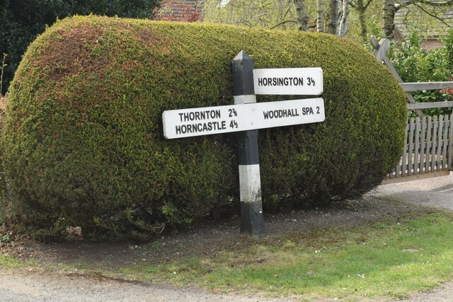
///heartless.slide.cobbles. Near Horncastle, Lincolnshire
Nearby Locations
Related Wikis

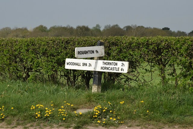
Roughton Scrubs
Roughton Scrubs is a small woodland beside the B1191 (Horncastle Road) to the north east of the village of Woodhall Spa in Lincolnshire on Roughton Moor...
Big Rous Holt
Big Rous Holt is a small woodland beside the B1191 (Horncastle Road) to the north east of the village of Woodhall Spa in Lincolnshire on Roughton Moor...
Highall Wood
Highall Wood is a woodland to the north east of the village of Woodhall Spa, Lincolnshire. It is bordered by Park Plantation to the east and White Hall...

Martin, East Lindsey
Martin is a village and former civil parish, now in the parish of Roughton, in the East Lindsey district of Lincolnshire, England. It is about 2 miles...

Roughton, Lincolnshire
Roughton ( ROOT-ən) is a village and civil parish in the East Lindsey district of Lincolnshire, England. The parish population was 644 in 2011.The village...
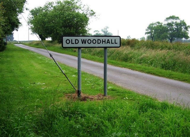
Old Woodhall
Old Woodhall or Woodhall, is a village and former civil parish, now in the parish of Stixwould and Woodhall, in the East Lindsey district, in the county...

Dalderby
Dalderby is a village and former civil parish, now in the parish of Roughton, in the East Lindsey district of Lincolnshire, England. It is situated approximately...
Wellsyke Wood
Wellsyke Wood is a small woodland on Roughton Moor to the east of the village of Woodhall Spa, Lincolnshire. At the eastern end of the wood there is a...
Nearby Amenities
Located within 500m of 53.17804,-0.16222277Have you been to Ash Holt?
Leave your review of Ash Holt below (or comments, questions and feedback).