Garlichill Larches
Wood, Forest in Surrey Reigate and Banstead
England
Garlichill Larches

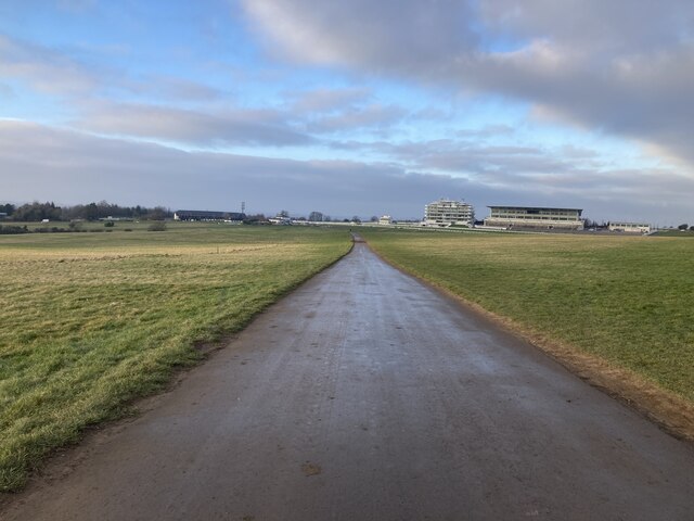
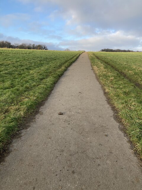
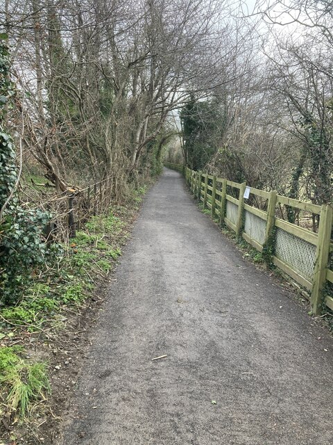
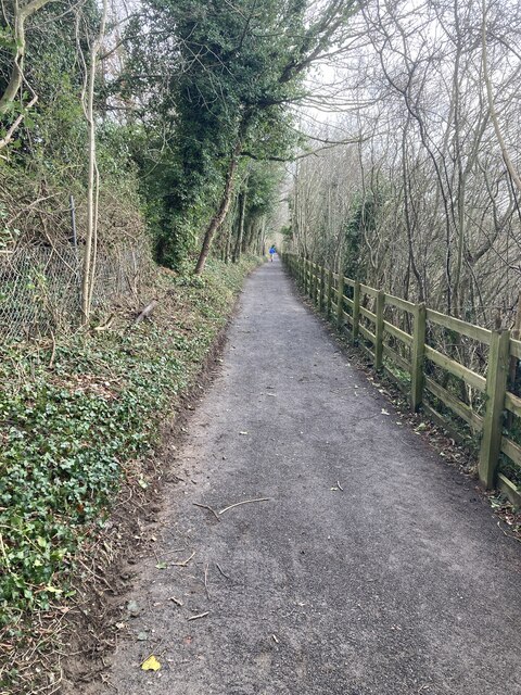
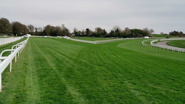
Garlichill Larches is a beautiful woodland located in Surrey, England. Situated within the larger area known as the Surrey Hills, this forest is a popular destination for nature enthusiasts and hikers alike. The woodland gets its name from the abundance of larch trees that dominate the landscape, giving it a unique and picturesque charm.
Covering an area of approximately 100 acres, Garlichill Larches is home to a diverse range of flora and fauna. In addition to the larch trees, the forest boasts a variety of other tree species, including oak, beech, and birch. The forest floor is carpeted with vibrant wildflowers during the spring and summer months, creating a stunning display of colors.
The woodland provides a habitat for numerous wildlife species. Visitors may spot deer, foxes, badgers, and a variety of bird species, including woodpeckers and owls. It is also known for its population of red squirrels, a rare sight in many parts of the country.
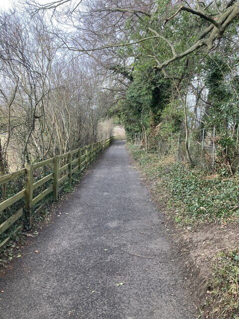
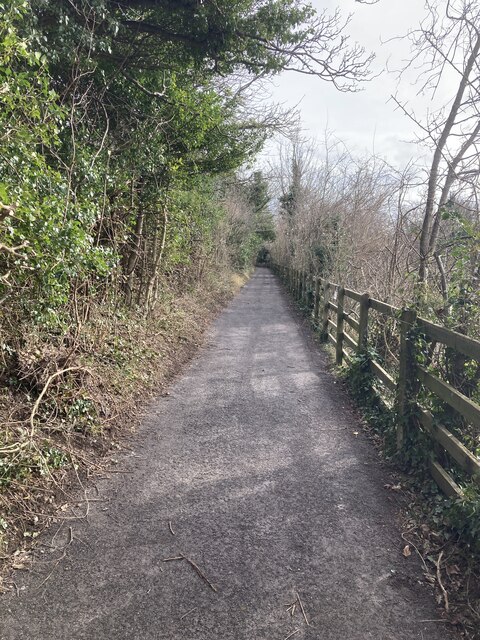
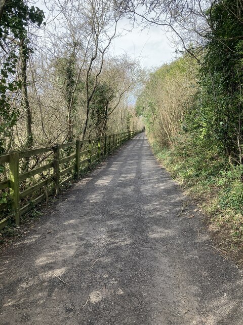
There are several walking trails that wind their way through Garlichill Larches, offering visitors the chance to explore the forest's natural beauty. These trails vary in difficulty and length, catering to both casual strollers and more experienced hikers. The forest is well-maintained, with clear signage and well-marked paths, ensuring a safe and enjoyable experience for all.
Garlichill Larches is a tranquil and idyllic woodland that provides a welcome escape from the hustle and bustle of city life. Its stunning scenery, diverse wildlife, and well-maintained trails make it a must-visit destination for anyone seeking a peaceful and immersive natural experience in Surrey.
If you have any feedback on the listing, please let us know in the comments section below.
Garlichill Larches Images
Images are sourced within 2km of 51.308006/-0.2379626 or Grid Reference TQ2258. Thanks to Geograph Open Source API. All images are credited.


Garlichill Larches is located at Grid Ref: TQ2258 (Lat: 51.308006, Lng: -0.2379626)
Administrative County: Surrey
District: Reigate and Banstead
Police Authority: Surrey
What 3 Words
///await.shout.bend. Near Tadworth, Surrey
Nearby Locations
Related Wikis

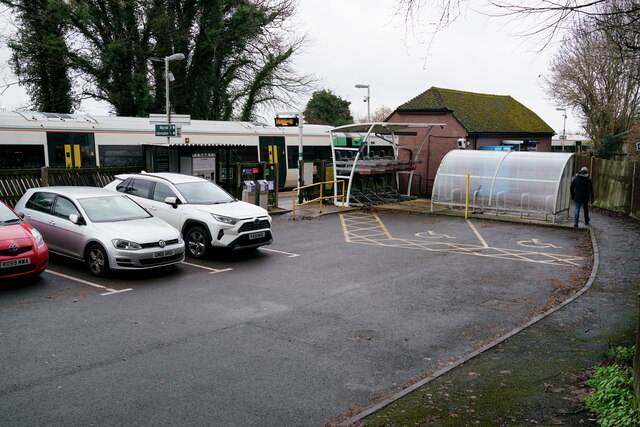
Tattenham Corner railway station
Tattenham Corner railway station is in Surrey, in England. The station and all trains serving it are operated by Southern, and it is the terminus of the...

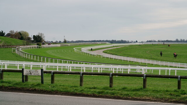
Tattenham Corner
Tattenham Corner is in north Surrey, UK, the name is principally associated with Epsom Racecourse. The railway station of the same name is in the Tattenhams...

Banstead Athletic F.C.
Banstead Athletic Football Club is a football club based in Tadworth, near Epsom in Surrey, England. The club are currently members of the Southern Combination...
Copthorne Hundred
Copthorne was a hundred of Surrey, England, an area above the level of the parishes and manors, where the local wise, wealthy and powerful met periodically...

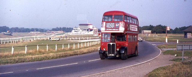
Epsom Downs Racecourse
Epsom Downs is a Grade 1 racecourse on the hills associated with Epsom in Surrey, England which is used for thoroughbred horse racing. The "Downs" referred...

Burgh Heath
Burgh Heath ( bur HEETH or, especially amongst older residents, BURR-ə HEETH) is a residential neighbourhood with a remnant part of the Banstead Commons...

Tadworth
Tadworth is a large suburban village in Surrey, England in the south-east of the Epsom Downs, part of the North Downs. It forms part of the Borough of...
Aberdour School
Aberdour School, founded in 1928, is a co-educational preparatory school for ages 2–11 in Burgh Heath (near Banstead), Surrey, England. It is a nursery...
Nearby Amenities
Located within 500m of 51.308006,-0.2379626Have you been to Garlichill Larches?
Leave your review of Garlichill Larches below (or comments, questions and feedback).