Thornton Wood

Wood, Forest in Lincolnshire East Lindsey

England

Thornton Wood

Horncastle Canal west of Dalderby: aerial 2022
Horncastle Canal west of Dalderby: aerial 2022 Credit: Chris

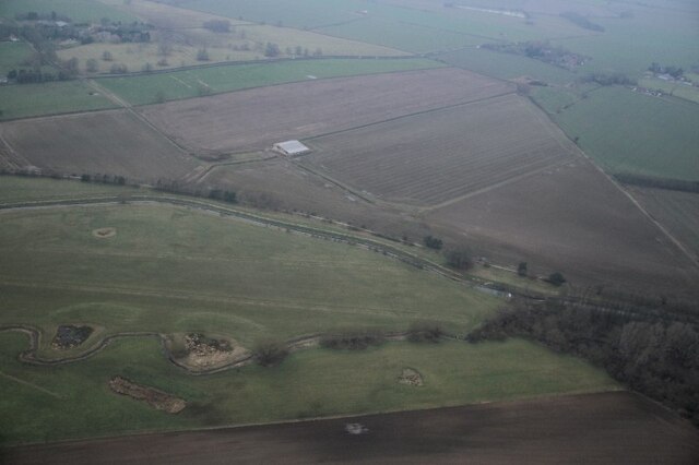
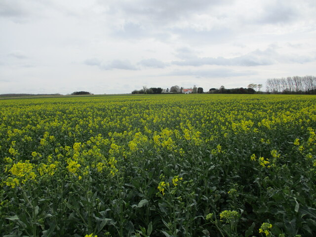
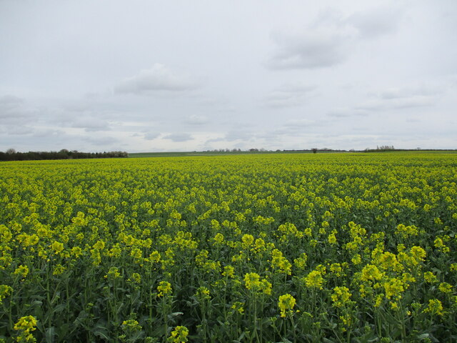
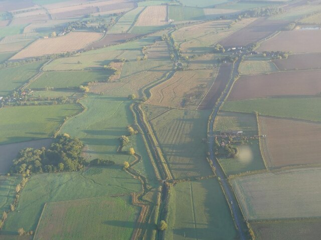
Thornton Wood is a small woodland area located in the county of Lincolnshire, England. Covering an approximate area of 20 hectares, it is situated near the village of Thornton Curtis. The wood is part of the larger Forest of Barton, which encompasses several other woodland areas in the region.

Thornton Wood is predominantly made up of deciduous trees, with species such as oak, ash, birch, and beech being the most common. These trees provide a lush canopy that offers shade and shelter to a rich variety of flora and fauna.

The woodland floor is adorned with a diverse range of wildflowers, including bluebells, primroses, and wood anemones, which create a colorful display during the spring months. The wood is also home to a variety of ferns and mosses that thrive in the damp, shaded areas.

In terms of wildlife, Thornton Wood is a haven for various bird species, including woodpeckers, owls, and thrushes. Mammals such as foxes, badgers, and deer can also be spotted within the woodland, along with smaller creatures like squirrels, rabbits, and voles.

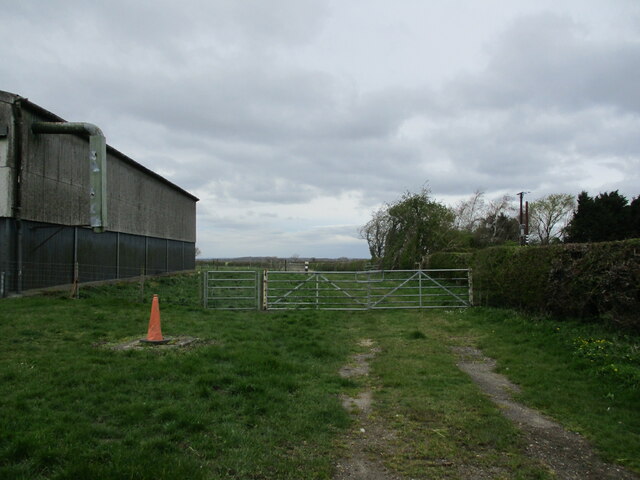
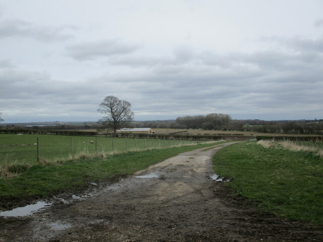
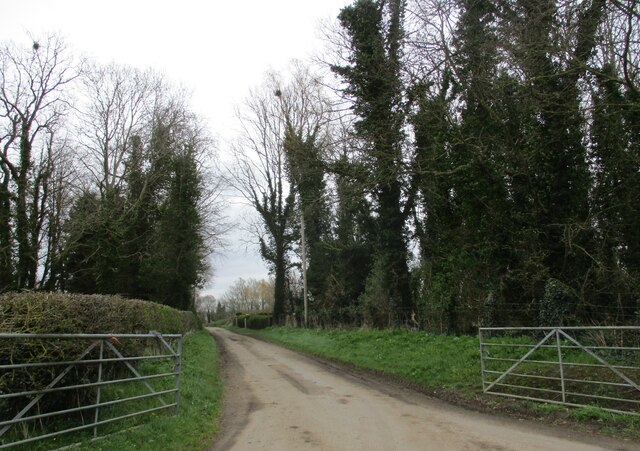
Thornton Wood is a popular destination for nature enthusiasts, walkers, and photographers, who are drawn to its serene and picturesque surroundings. The woodland offers a tranquil escape from the hustle and bustle of daily life, with well-maintained footpaths and trails providing easy access for visitors to explore its beauty.

Overall, Thornton Wood in Lincolnshire is a charming and biodiverse forested area, teeming with flora and fauna, and offering a peaceful retreat for those seeking to connect with nature.

If you have any feedback on the listing, please let us know in the comments section below.

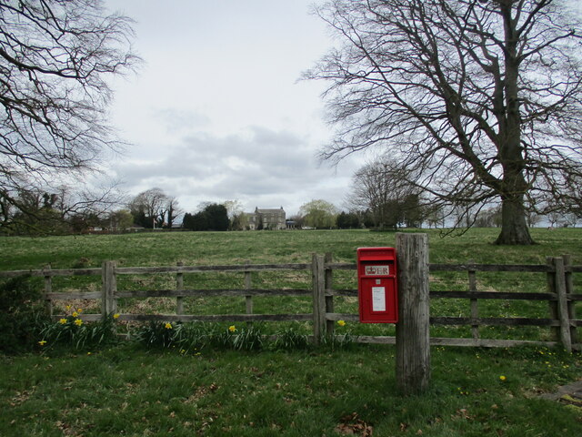
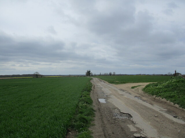
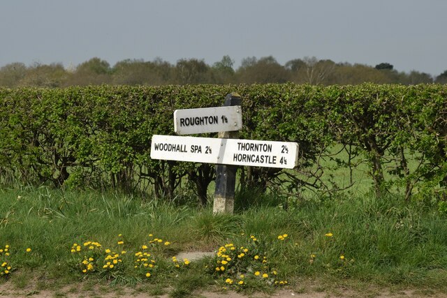
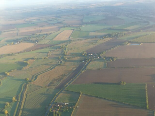
Thornton Wood Images

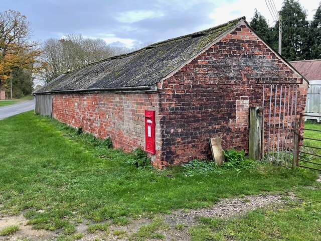
Images are sourced within 2km of 53.180584/-0.16398462 or Grid Reference TF2266. Thanks to Geograph Open Source API. All images are credited.

Horncastle Canal west of Dalderby: aerial 2022
The beginning of a bridleway to Woodhall Spa, Langton
Farm track at Martin
Standing but flapping Seven years on from <a href="https://www.geograph.org.uk/photo/4389901">TF2367 : Still standing</a> the remaining part of the roof of this derelict barn was flapping wildly in the wind.
Standing but flapping
Seven years on from TF2367 : Still standing the remaining part of the roof of this derelict barn was flapping wildly in the wind.
Oilseed rape, Old Woodhall Old Woodhall visible in the distance.
Oilseed rape, Old Woodhall
Old Woodhall visible in the distance.
Old harrow used to block a field entrance near Langton
Farm track near Langton
Oilseed rape near Old Woodhall
St. Michael's church. Martin A much repaired and altered Morman church. In this vew can be seen Norman and later medieval stone work and eighteenth century and Victorian brickwork <span class="nowrap"><a title="https://historicengland.org.uk/listing/the-list/list-entry/1146950?section=official-list-entry" rel="nofollow ugc noopener" href="https://historicengland.org.uk/listing/the-list/list-entry/1146950?section=official-list-entry">Link</a><img style="margin-left:2px;" alt="External link" title="External link - shift click to open in new window" src="https://s1.geograph.org.uk/img/external.png" width="10" height="10"/></span>
St. Michael's church. Martin
A much repaired and altered Morman church. In this vew can be seen Norman and later medieval stone work and eighteenth century and Victorian brickwork LinkExternal link
Church Lane, Martin
Church Lane, Martin
Grass field and Martin Hall Martin Hall dates from the late eighteenth century <span class="nowrap"><a title="https://historicengland.org.uk/listing/the-list/list-entry/1359919?section=official-list-entry" rel="nofollow ugc noopener" href="https://historicengland.org.uk/listing/the-list/list-entry/1359919?section=official-list-entry">Link</a><img style="margin-left:2px;" alt="External link" title="External link - shift click to open in new window" src="https://s1.geograph.org.uk/img/external.png" width="10" height="10"/></span>
Grass field and Martin Hall
Martin Hall dates from the late eighteenth century LinkExternal link
Ox Pasture Lane, Thornton
Direction Sign – Signpost on the B1191 Horncastle Road at Martin Moor Located at Martin Moor, on the northwest side of the T junction of the B1191 Horncastle Road and Moor Lane, in Roughton parish. 3 arms but no finial. See also <a title="https://www.geograph.org.uk/photo/464517" href="https://www.geograph.org.uk/photo/464517">Link</a>.

Milestone Society National ID: LI_TF2264
Direction Sign – Signpost on the B1191 Horncastle Road at Martin Moor
Located at Martin Moor, on the northwest side of the T junction of the B1191 Horncastle Road and Moor Lane, in Roughton parish. 3 arms but no finial. See also Link. Milestone Society National ID: LI_TF2264
River Bain and disused Horncastle Canal at Dalderby: aerial 2022
River Bain and disused Horncastle Canal S of Dalderby: aerial 2022
Cut Mark: Roughton, Moor Lane, Farm Building Cut bench mark on the end of a farm building on Moor Lane.  See <a title="https://www.geograph.org.uk/photo/7351094" href="https://www.geograph.org.uk/photo/7351094">Link</a> for a wider view and <span class="nowrap"><a title="https://www.bench-marks.org.uk/bm180176" rel="nofollow ugc noopener" href="https://www.bench-marks.org.uk/bm180176">Link</a><img style="margin-left:2px;" alt="External link" title="External link - shift click to open in new window" src="https://s1.geograph.org.uk/img/external.png" width="10" height="10"/></span> for details of the mark.
Cut Mark: Roughton, Moor Lane, Farm Building
Cut bench mark on the end of a farm building on Moor Lane. See Link for a wider view and LinkExternal link for details of the mark.
Farm Building on Moor Lane There is a cut bench mark on the end of this farm building on Moor Lane.  See <a title="https://www.geograph.org.uk/photo/7351090" href="https://www.geograph.org.uk/photo/7351090">Link</a> for a closer view and <span class="nowrap"><a title="https://www.bench-marks.org.uk/bm180176" rel="nofollow ugc noopener" href="https://www.bench-marks.org.uk/bm180176">Link</a><img style="margin-left:2px;" alt="External link" title="External link - shift click to open in new window" src="https://s1.geograph.org.uk/img/external.png" width="10" height="10"/></span> for details of the mark.
Farm Building on Moor Lane
There is a cut bench mark on the end of this farm building on Moor Lane. See Link for a closer view and LinkExternal link for details of the mark.
B1191 at Roughton Heading towards Woodhall Spa.
B1191 at Roughton
Heading towards Woodhall Spa.
Show me another place!

Thornton Wood is located at Grid Ref: TF2266 (Lat: 53.180584, Lng: -0.16398462)

Administrative County: Lincolnshire

District: East Lindsey

Police Authority: Lincolnshire

What 3 Words

///revival.funded.frightens. Near Horncastle, Lincolnshire

Nearby Locations

Thornton Wood Ash Holt

Related Wikis

Roughton Scrubs

Roughton Scrubs is a small woodland beside the B1191 (Horncastle Road) to the north east of the village of Woodhall Spa in Lincolnshire on Roughton Moor...

Big Rous Holt

Big Rous Holt is a small woodland beside the B1191 (Horncastle Road) to the north east of the village of Woodhall Spa in Lincolnshire on Roughton Moor...

Highall Wood

Highall Wood is a woodland to the north east of the village of Woodhall Spa, Lincolnshire. It is bordered by Park Plantation to the east and White Hall...

Martin, East Lindsey

Martin is a village and former civil parish, now in the parish of Roughton, in the East Lindsey district of Lincolnshire, England. It is about 2 miles...
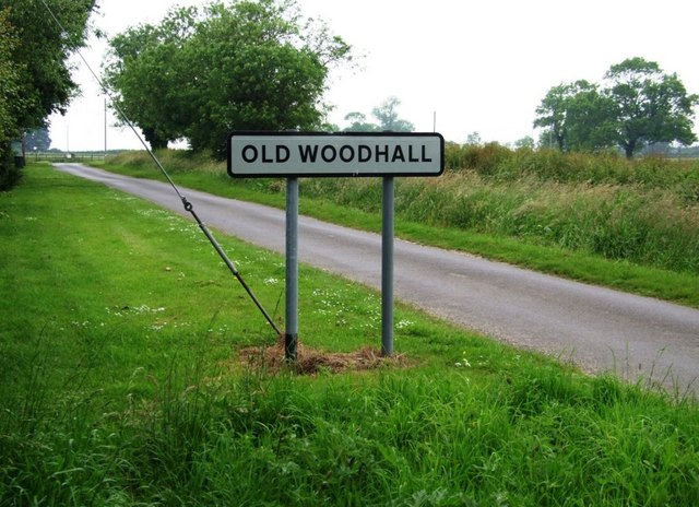
Old Woodhall

Old Woodhall or Woodhall, is a village and former civil parish, now in the parish of Stixwould and Woodhall, in the East Lindsey district, in the county...

High Dar Wood

High Dar Wood is a small woodland in the hamlet of Linwood in the parish of Stixwould and Woodhall, Lincolnshire. It is approximately a fifth of a mile...

Roughton, Lincolnshire

Roughton ( ROOT-ən) is a village and civil parish in the East Lindsey district of Lincolnshire, England. The parish population was 644 in 2011.The village...

Horncastle Rural District

Horncastle was a rural district in Parts of Lindsey, Lincolnshire, England, from 1894 to 1974. It was formed under the Local Government Act 1894 from the...

Nearby Amenities

Located within 500m of 53.180584,-0.16398462
White Hall Borders
Place: locality
Source: Bing
Lat/Long: 53.178356/-0.158148
The data included in this document is from www.openstreetmap.org. The data is made available under ODbL.

Have you been to Thornton Wood?

Leave your review of Thornton Wood below (or comments, questions and feedback).