Bushy Common Plantation
Wood, Forest in Huntingdonshire Huntingdonshire
England
Bushy Common Plantation
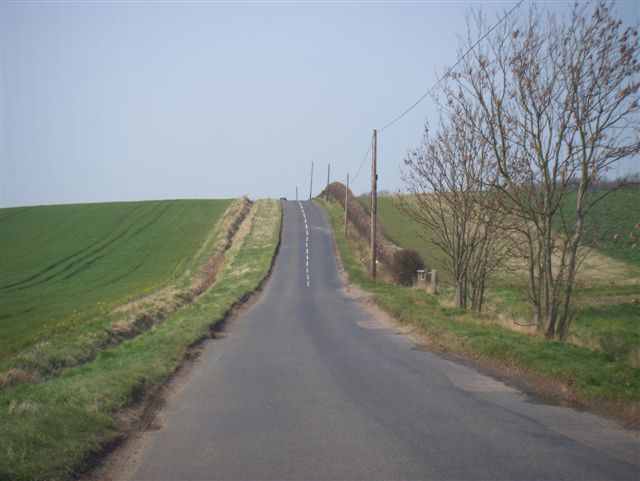
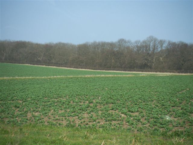
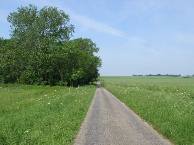
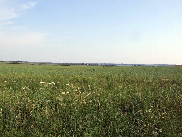
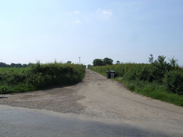
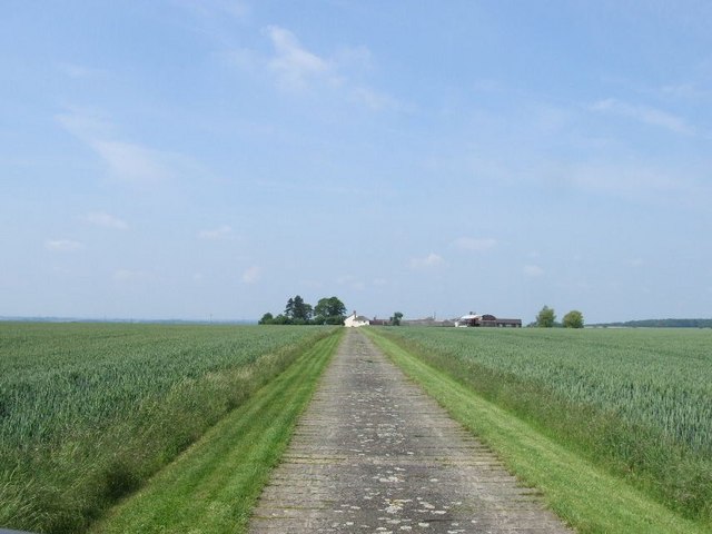
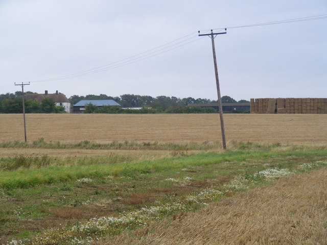
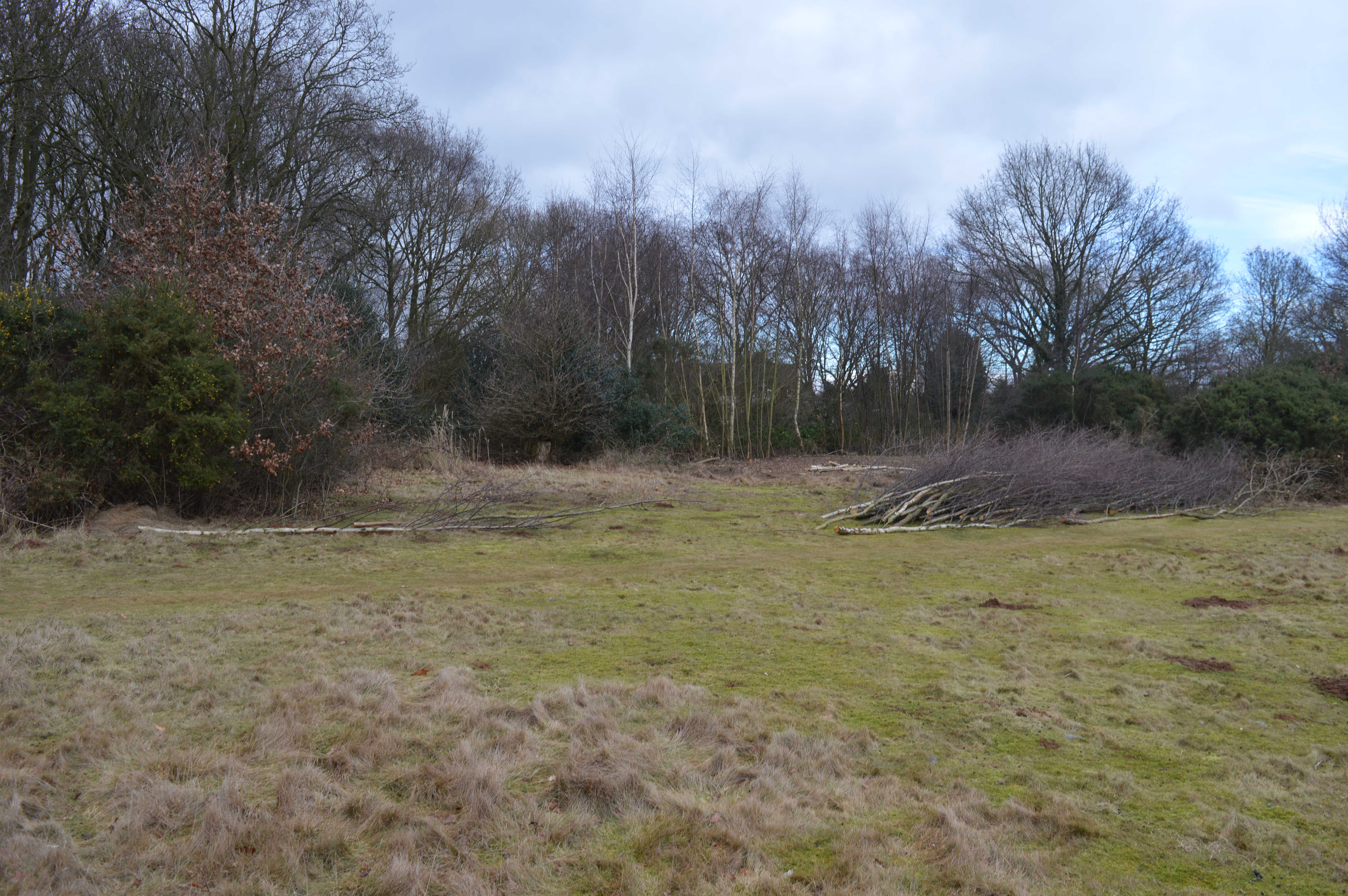
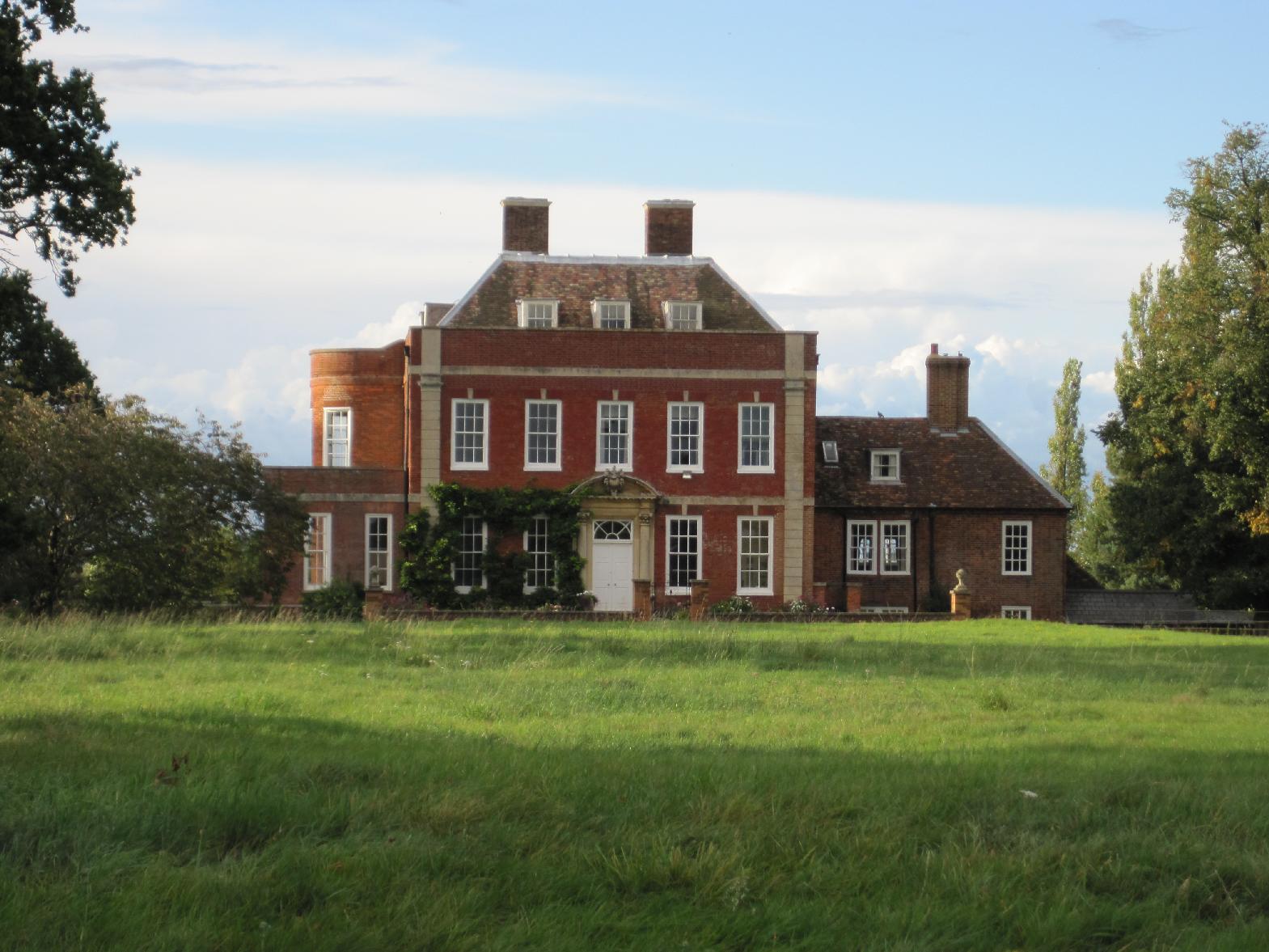
Bushy Common Plantation is a picturesque woodland located in the county of Huntingdonshire, England. Spanning over 100 acres, this enchanting forest offers a tranquil and scenic retreat for nature enthusiasts and outdoor adventurers alike.
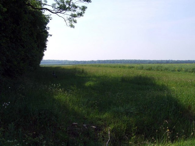
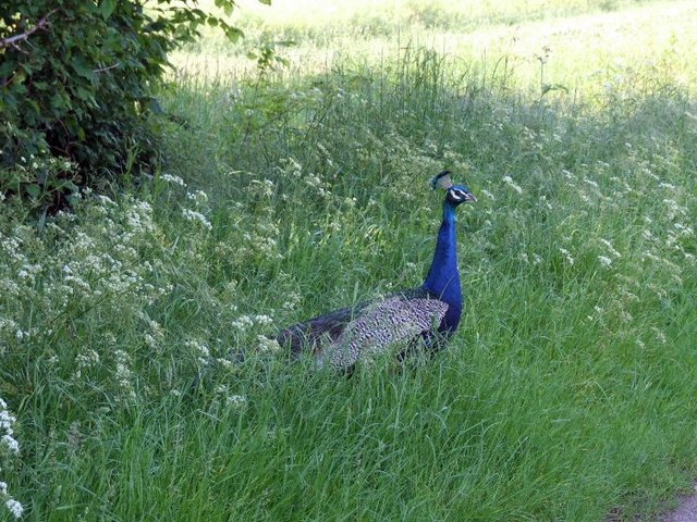
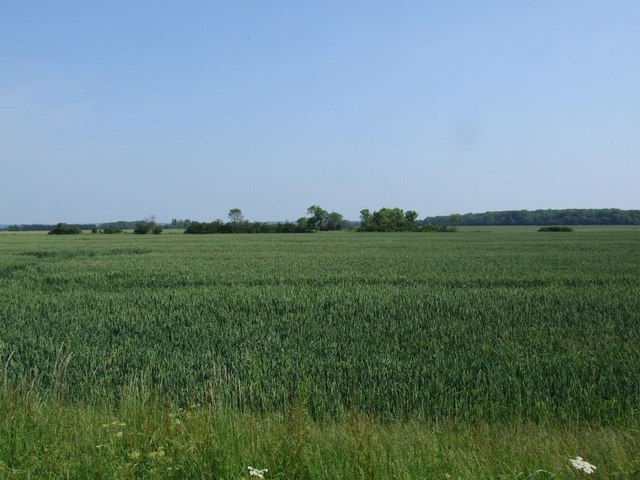
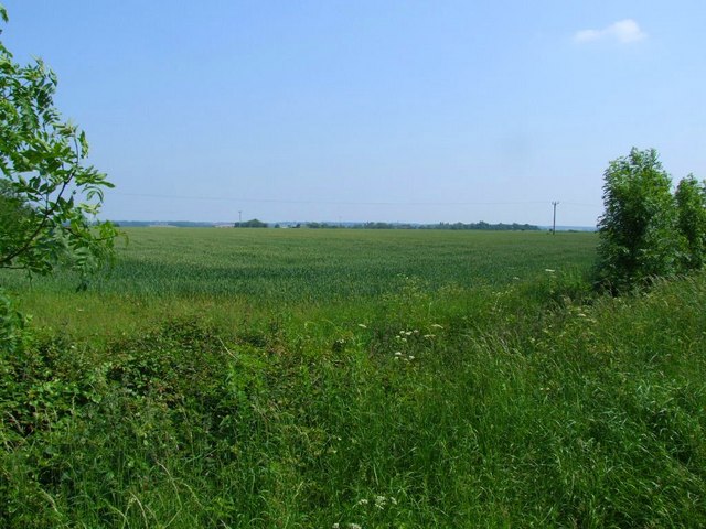
The plantation primarily consists of a diverse mix of deciduous and coniferous trees, including oak, beech, birch, and pine. This combination of tree species creates a rich and varied ecosystem, providing a haven for an array of wildlife. Visitors can expect to spot a wide range of bird species, such as woodpeckers, owls, and various songbirds, as well as small mammals like squirrels and hedgehogs.
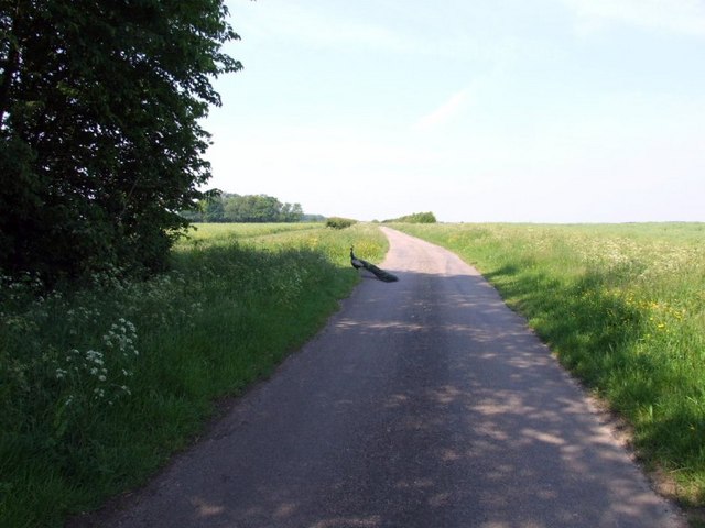
The woodland is crisscrossed by a network of well-maintained footpaths, allowing visitors to explore and meander through the plantation at their leisure. Along these paths, one can discover hidden groves, idyllic clearings, and babbling brooks, further enhancing the natural beauty of the area.
Bushy Common Plantation is particularly popular with outdoor enthusiasts, as it offers excellent opportunities for hiking, birdwatching, and nature photography. The diverse landscape and tranquil atmosphere make it an ideal location for a peaceful walk or a family picnic surrounded by nature's beauty.
Managed by the local forestry commission, Bushy Common Plantation provides a sustainable and well-preserved environment for both flora and fauna. The plantation's dedication to conservation ensures the continued protection and enjoyment of this natural gem for generations to come.
If you have any feedback on the listing, please let us know in the comments section below.
Bushy Common Plantation Images
Images are sourced within 2km of 52.182471/-0.21909538 or Grid Reference TL2155. Thanks to Geograph Open Source API. All images are credited.
Bushy Common Plantation is located at Grid Ref: TL2155 (Lat: 52.182471, Lng: -0.21909538)
Administrative County: Cambridgeshire
District: Huntingdonshire
Police Authority: Cambridgeshire
What 3 Words
///snowy.assures.onion. Near Gamlingay, Cambridgeshire
Nearby Locations
Related Wikis

Weaveley and Sand Woods
Weaveley and Sand Woods is a 62.0-hectare (153-acre) biological Site of Special Scientific Interest north of Gamlingay in Cambridgeshire.This site has...

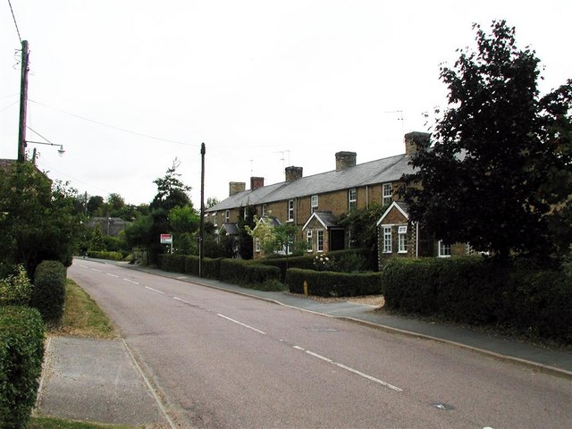
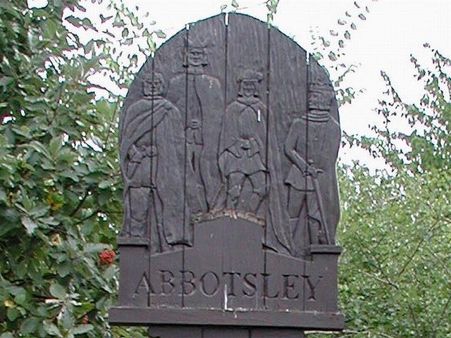
Abbotsley
Abbotsley is a village and civil parish within the Huntingdonshire district of Cambridgeshire, England. It is three miles from St Neots and 14 miles from...

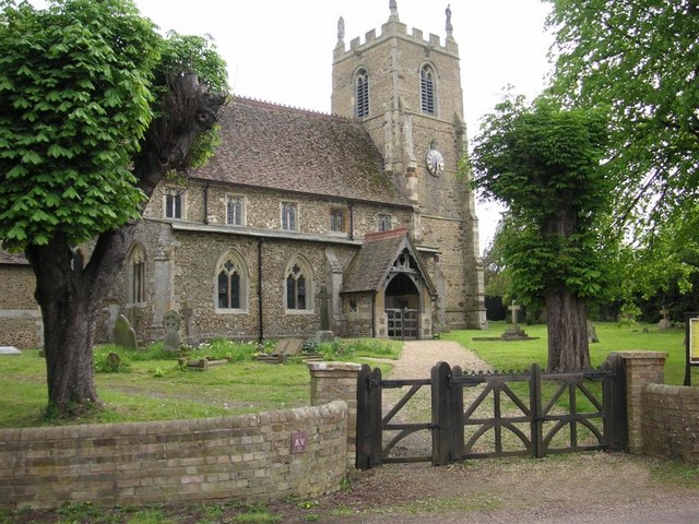
St Margaret's Church, Abbotsley
St Margaret's Church is a historic Anglican church in the village of Abbotsley, Cambridgeshire, England. It is recorded in the National Heritage List...

Eynesbury Hardwicke
Eynesbury Hardwicke is a former civil parish, now in the parishes of Abbotsley and St Neots, in the Huntingdonshire part of Cambridgeshire, England. At...
Gamlingay Cinques
Gamlingay Cinques is a 3.4-hectare (8.4-acre) nature reserve in Gamlingay in Cambridgeshire. It is managed by the Wildlife Trust for Bedfordshire, Cambridgeshire...
Tetworth
Tetworth is a village and former civil parish, now in the parish of Waresley-cum-Tetworth, in Cambridgeshire, England. Tetworth lies approximately 12 miles...

Gamlingay Wood
Gamlingay Wood is a 48.4-hectare (120-acre) biological Site of Special Scientific Interest (SSSI) north of Gamlingay in Cambridgeshire. It is managed by...

Gamlingay
Gamlingay is a village and civil parish in the South Cambridgeshire district of Cambridgeshire, England about 14 miles (23 km) west southwest of the county...
Nearby Amenities
Located within 500m of 52.182471,-0.21909538Have you been to Bushy Common Plantation?
Leave your review of Bushy Common Plantation below (or comments, questions and feedback).