Biscathorpe Plantation
Wood, Forest in Lincolnshire East Lindsey
England
Biscathorpe Plantation

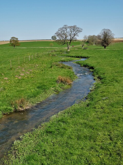
Biscathorpe Plantation is a wood that is located in the county of Lincolnshire, in the east of England. Situated near the village of Biscathorpe, the plantation covers an area of approximately 100 hectares (247 acres). It is nestled within the rolling landscape of the Lincolnshire Wolds, an Area of Outstanding Natural Beauty.
The plantation consists mainly of deciduous trees, such as oak, ash, and beech, which create a beautiful and diverse woodland environment. These trees provide habitat and shelter for a variety of wildlife, including birds, mammals, and insects. The wood is also known for its vibrant displays of bluebells that carpet the forest floor during the spring season.
Biscathorpe Plantation is a popular destination for nature lovers and outdoor enthusiasts. It offers a network of well-maintained footpaths and trails, allowing visitors to explore the wood and enjoy its natural beauty. The wood is particularly attractive for walking and hiking, as it provides varying terrain and scenic views of the surrounding countryside.
Managed by the local authorities, Biscathorpe Plantation is well-preserved and offers a peaceful and tranquil escape from the hustle and bustle of everyday life. It provides an opportunity for visitors to connect with nature, immerse themselves in its serene atmosphere, and appreciate the wonders of the Lincolnshire countryside.
If you have any feedback on the listing, please let us know in the comments section below.
Biscathorpe Plantation Images
Images are sourced within 2km of 53.35221/-0.17078549 or Grid Reference TF2185. Thanks to Geograph Open Source API. All images are credited.


Biscathorpe Plantation is located at Grid Ref: TF2185 (Lat: 53.35221, Lng: -0.17078549)
Administrative County: Lincolnshire
District: East Lindsey
Police Authority: Lincolnshire
What 3 Words
///ambushed.narrowest.brick. Near Wold Newton, Lincolnshire
Nearby Locations
Related Wikis
Biscathorpe
Biscathorpe is an ecclesiastical parish, deserted medieval village and former civil parish, now in the parish of Gayton le Wold, in the East Lindsey district...
Burgh on Bain
Burgh on Bain is a village and civil parish in the East Lindsey district of Lincolnshire, England. It is situated on the A157 road, 7 miles (11 km) west...
Girsby, Lincolnshire
Girsby is a hamlet in the East Lindsey district of Lincolnshire, England. It is situated less than 1 mile (2 km) north from the A157 road, 7 miles (11...
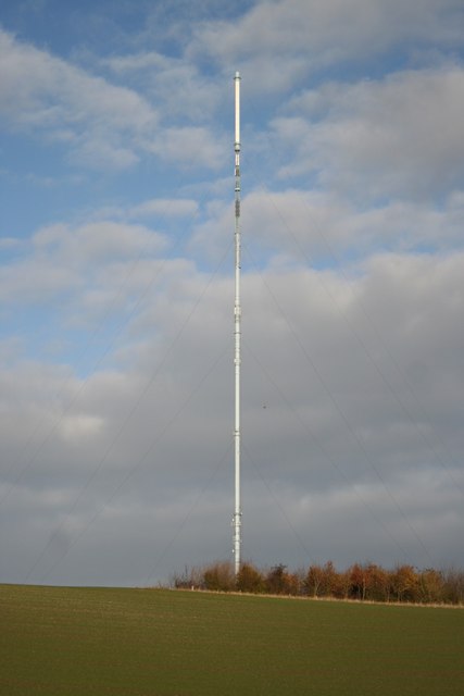
Belmont transmitting station
The Belmont transmitting station is a broadcasting and telecommunications facility next to the B1225, 1 mile (1.6 km) west of the village of Donington...

Gayton le Wold
Gayton le Wold is a village and civil parish in the East Lindsey district of Lincolnshire, England. It lies 6 miles (10 km) west from Louth, 3 miles (5...
Grimblethorpe
Grimblethorpe is a hamlet in the East Lindsey district of Lincolnshire, England. It is situated 6 miles (10 km) west from Louth and just north of the village...

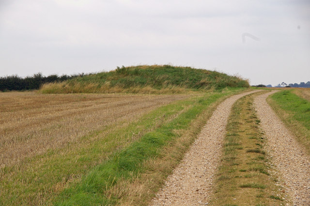
East Wykeham
East Wykeham is a deserted medieval village or DMV, seen as earthworks, in the East Lindsey district of Lincolnshire, England. The earthworks are situated...
West Wykeham
West Wykeham is a deserted medieval village in East Lindsey, Lincolnshire, England. It is situated just over 1 mile (1.6 km) east from Ludford. West Wykeham...
Nearby Amenities
Located within 500m of 53.35221,-0.17078549Have you been to Biscathorpe Plantation?
Leave your review of Biscathorpe Plantation below (or comments, questions and feedback).