Baxter Square Plantation
Wood, Forest in Lincolnshire East Lindsey
England
Baxter Square Plantation

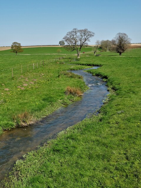
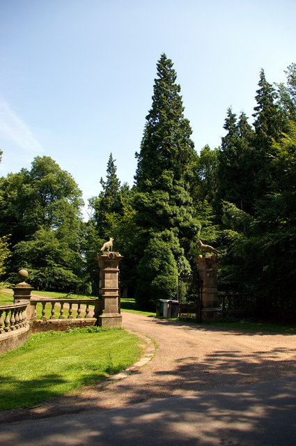
Baxter Square Plantation, located in Lincolnshire, is a sprawling woodland area known for its natural beauty and diverse plant life. Covering an approximate area of 500 acres, this plantation is a popular destination for nature enthusiasts and outdoor enthusiasts alike.
The woodland is predominantly made up of mature trees, including oak, beech, and pine, which provide a picturesque backdrop for visitors. The forest floor is covered in a thick carpet of moss and ferns, adding to the enchanting atmosphere of the area. Baxter Square Plantation is home to a variety of wildlife, including deer, foxes, and numerous species of birds.
Visitors to Baxter Square Plantation can enjoy a range of outdoor activities. There are well-maintained walking and cycling trails that wind through the woodland, allowing visitors to explore the plantation at their own pace. The trails offer breathtaking views of the surrounding countryside and occasional glimpses of the nearby river that meanders through the area.
In addition to its natural beauty, Baxter Square Plantation also has a rich historical significance. The site was once home to a 19th-century manor house, although only ruins remain today. These ruins serve as a reminder of the plantation's past and add a touch of mystery and intrigue to the area.
Baxter Square Plantation is a must-visit destination for those seeking a peaceful escape into nature or a glimpse into the region's history. With its stunning woodland, diverse wildlife, and opportunities for outdoor activities, this plantation offers something for everyone.
If you have any feedback on the listing, please let us know in the comments section below.
Baxter Square Plantation Images
Images are sourced within 2km of 53.353963/-0.17430158 or Grid Reference TF2185. Thanks to Geograph Open Source API. All images are credited.


Baxter Square Plantation is located at Grid Ref: TF2185 (Lat: 53.353963, Lng: -0.17430158)
Administrative County: Lincolnshire
District: East Lindsey
Police Authority: Lincolnshire
What 3 Words
///headrest.goggles.converged. Near Wold Newton, Lincolnshire
Nearby Locations
Related Wikis
Burgh on Bain
Burgh on Bain is a village and civil parish in the East Lindsey district of Lincolnshire, England. It is situated on the A157 road, 7 miles (11 km) west...
Biscathorpe
Biscathorpe is an ecclesiastical parish, deserted medieval village and former civil parish, now in the parish of Gayton le Wold, in the East Lindsey district...
Girsby, Lincolnshire
Girsby is a hamlet in the East Lindsey district of Lincolnshire, England. It is situated less than 1 mile (2 km) north from the A157 road, 7 miles (11...
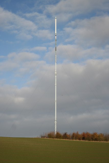
Belmont transmitting station
The Belmont transmitting station is a broadcasting and telecommunications facility next to the B1225, 1 mile (1.6 km) west of the village of Donington...

Gayton le Wold
Gayton le Wold is a village and civil parish in the East Lindsey district of Lincolnshire, England. It lies 6 miles (10 km) west from Louth, 3 miles (5...
Grimblethorpe
Grimblethorpe is a hamlet in the East Lindsey district of Lincolnshire, England. It is situated 6 miles (10 km) west from Louth and just north of the village...

East Wykeham
East Wykeham is a deserted medieval village or DMV, seen as earthworks, in the East Lindsey district of Lincolnshire, England. The earthworks are situated...
West Wykeham
West Wykeham is a deserted medieval village in East Lindsey, Lincolnshire, England. It is situated just over 1 mile (1.6 km) east from Ludford. West Wykeham...
Nearby Amenities
Located within 500m of 53.353963,-0.17430158Have you been to Baxter Square Plantation?
Leave your review of Baxter Square Plantation below (or comments, questions and feedback).