Hail Lane Plantation
Wood, Forest in Huntingdonshire Huntingdonshire
England
Hail Lane Plantation
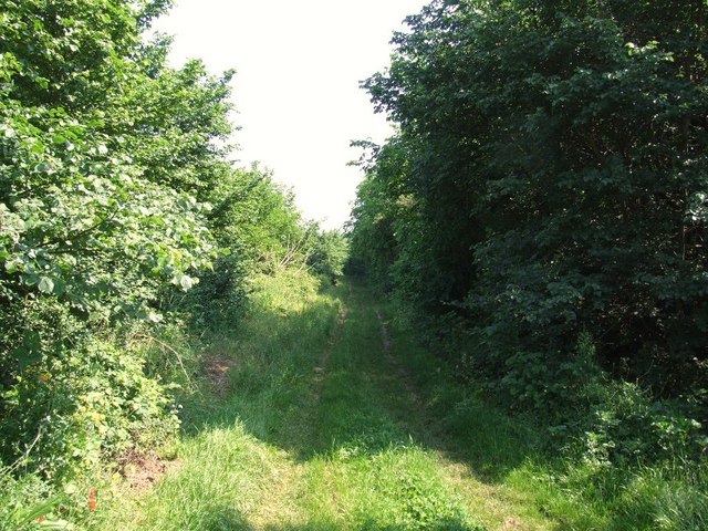
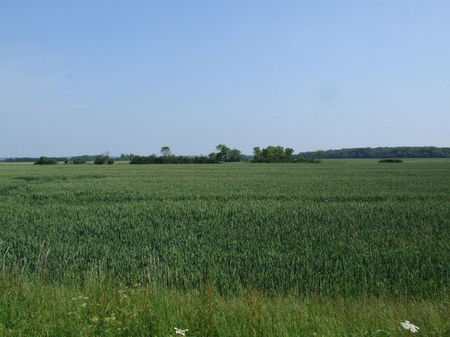
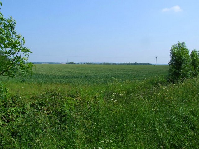
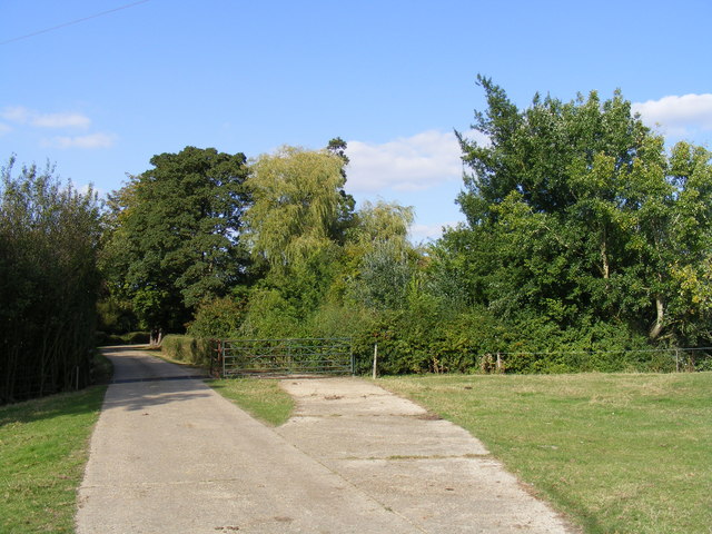
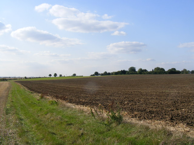
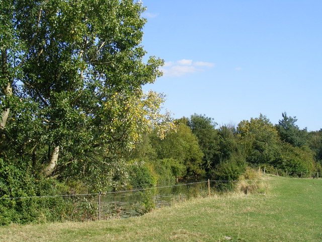
Hail Lane Plantation is a picturesque woodland area located in Huntingdonshire, a county in the eastern part of England. Nestled in the heart of the countryside, the plantation covers a vast expanse of land, providing a tranquil and scenic environment for visitors to enjoy.
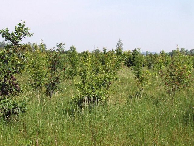
The plantation is primarily composed of a diverse range of trees, including oak, beech, and birch, which thrive in the fertile soil and moderate climate of the region. These trees create a dense canopy, casting dappled shadows on the forest floor and providing habitat for a variety of wildlife.
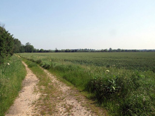
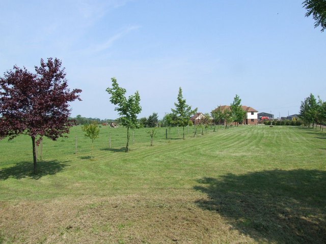
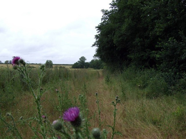
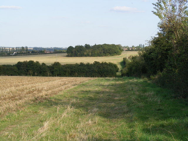
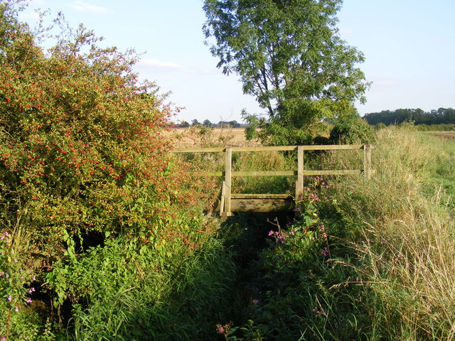
Walking trails meander through the plantation, allowing visitors to explore the natural beauty of the area at their own pace. These paths are well-maintained and offer glimpses of enchanting flora and fauna along the way. Nature enthusiasts can spot squirrels darting among the treetops, deer grazing in the open meadows, and a wide array of bird species soaring through the air.
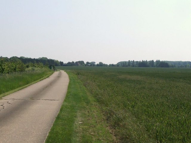
Hail Lane Plantation is also popular among outdoor enthusiasts, offering opportunities for activities such as hiking, cycling, and birdwatching. The plantation's serene atmosphere and unspoiled environment make it an ideal destination for those seeking solace in nature.
In addition to its natural beauty, Hail Lane Plantation holds historical significance. It is believed that the plantation has existed for centuries, with records dating back to the 17th century. The area was once used for timber production and played a role in the local economy. Today, it stands as a testament to the region's rich natural heritage and serves as an important recreational space for residents and visitors alike.
If you have any feedback on the listing, please let us know in the comments section below.
Hail Lane Plantation Images
Images are sourced within 2km of 52.201793/-0.22203996 or Grid Reference TL2157. Thanks to Geograph Open Source API. All images are credited.

Hail Lane Plantation is located at Grid Ref: TL2157 (Lat: 52.201793, Lng: -0.22203996)
Administrative County: Cambridgeshire
District: Huntingdonshire
Police Authority: Cambridgeshire
What 3 Words
///trifling.stream.winks. Near Little Barford, Bedfordshire
Nearby Locations
Related Wikis

Eynesbury Hardwicke
Eynesbury Hardwicke is a former civil parish, now in the parishes of Abbotsley and St Neots, in the Huntingdonshire part of Cambridgeshire, England. At...

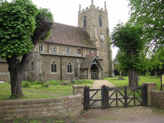
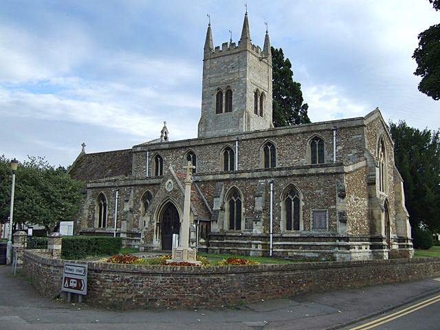
St Margaret's Church, Abbotsley
St Margaret's Church is a historic Anglican church in the village of Abbotsley, Cambridgeshire, England. It is recorded in the National Heritage List...

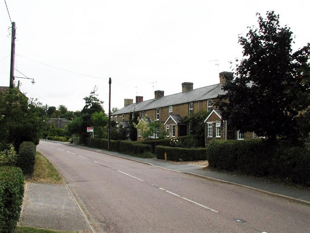
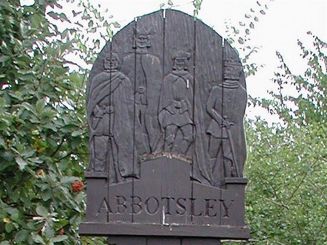
Abbotsley
Abbotsley is a village and civil parish within the Huntingdonshire district of Cambridgeshire, England. It is three miles from St Neots and 14 miles from...

Wintringham
Wintringham is a community in the civil parish of St Neots, Cambridgeshire, England. It is located on the eastern side of the town, east of the East Coast...
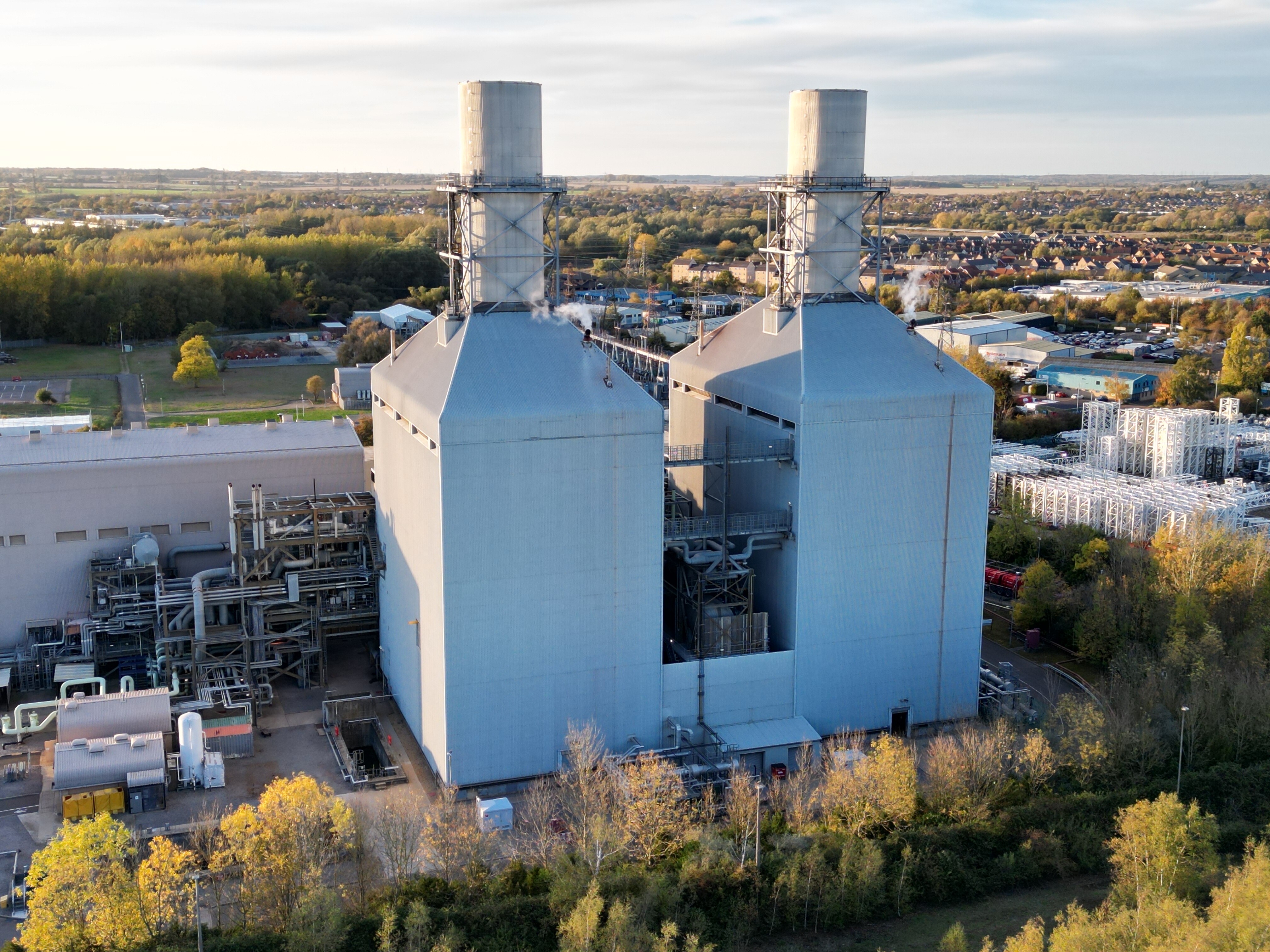
Little Barford Power Station
Little Barford Power Station is a gas-fired power station just north of the village of Little Barford (close to St Neots) in Bedfordshire, England. It...

Little Barford
Little Barford is a hamlet and civil parish in the Borough of Bedford in Bedfordshire, England about 7 miles (11 km) northeast of the county town of Bedford...
Eynesbury, Cambridgeshire
Eynesbury is an urban area forming part of St Neots, in the civil parish of St Neots, in the Huntingdonshire district, in the county of Cambridgeshire...

Weaveley and Sand Woods
Weaveley and Sand Woods is a 62.0-hectare (153-acre) biological Site of Special Scientific Interest north of Gamlingay in Cambridgeshire.This site has...
Nearby Amenities
Located within 500m of 52.201793,-0.22203996Have you been to Hail Lane Plantation?
Leave your review of Hail Lane Plantation below (or comments, questions and feedback).